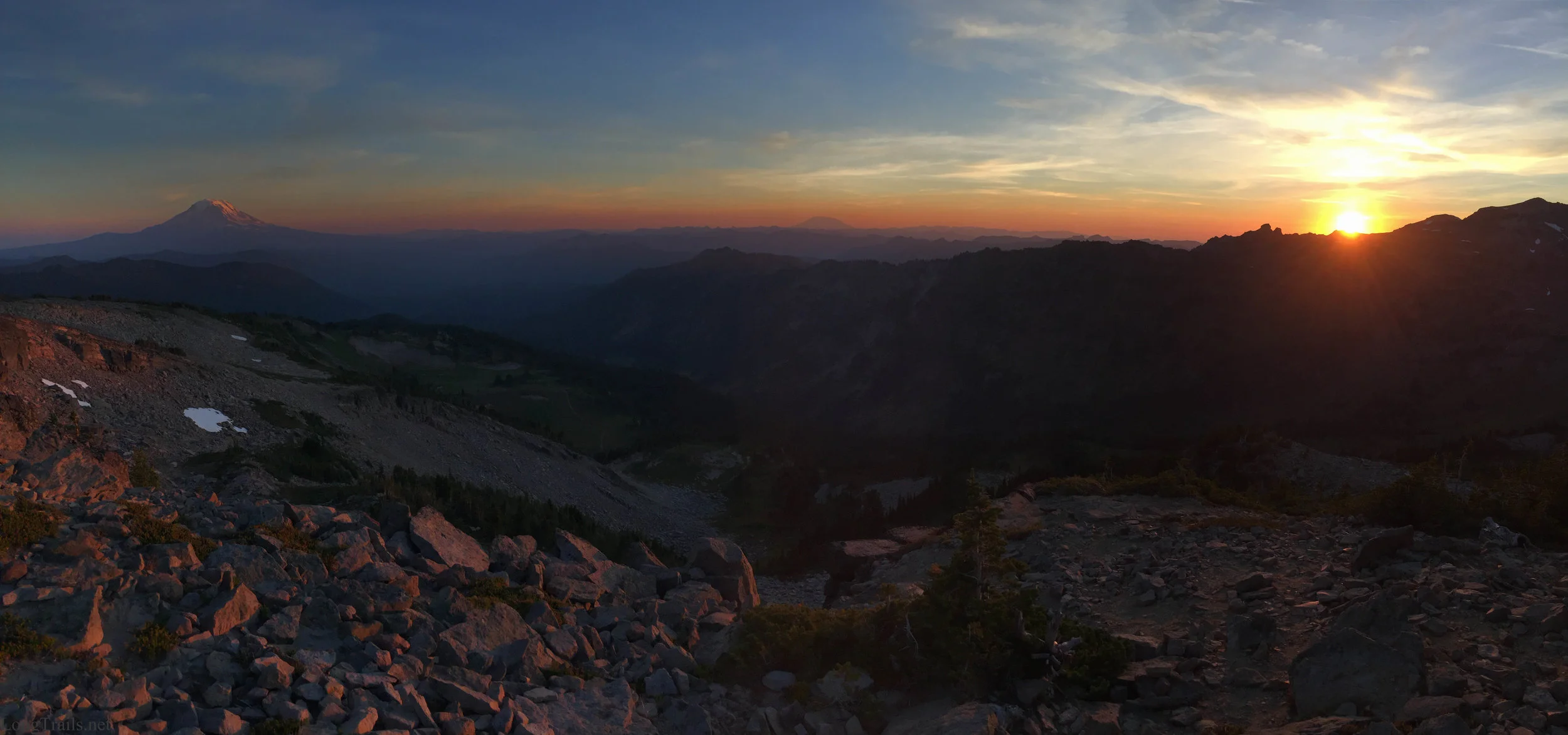
Campsite less than a mile before the famous Knifes Edge, Washington, PCT.


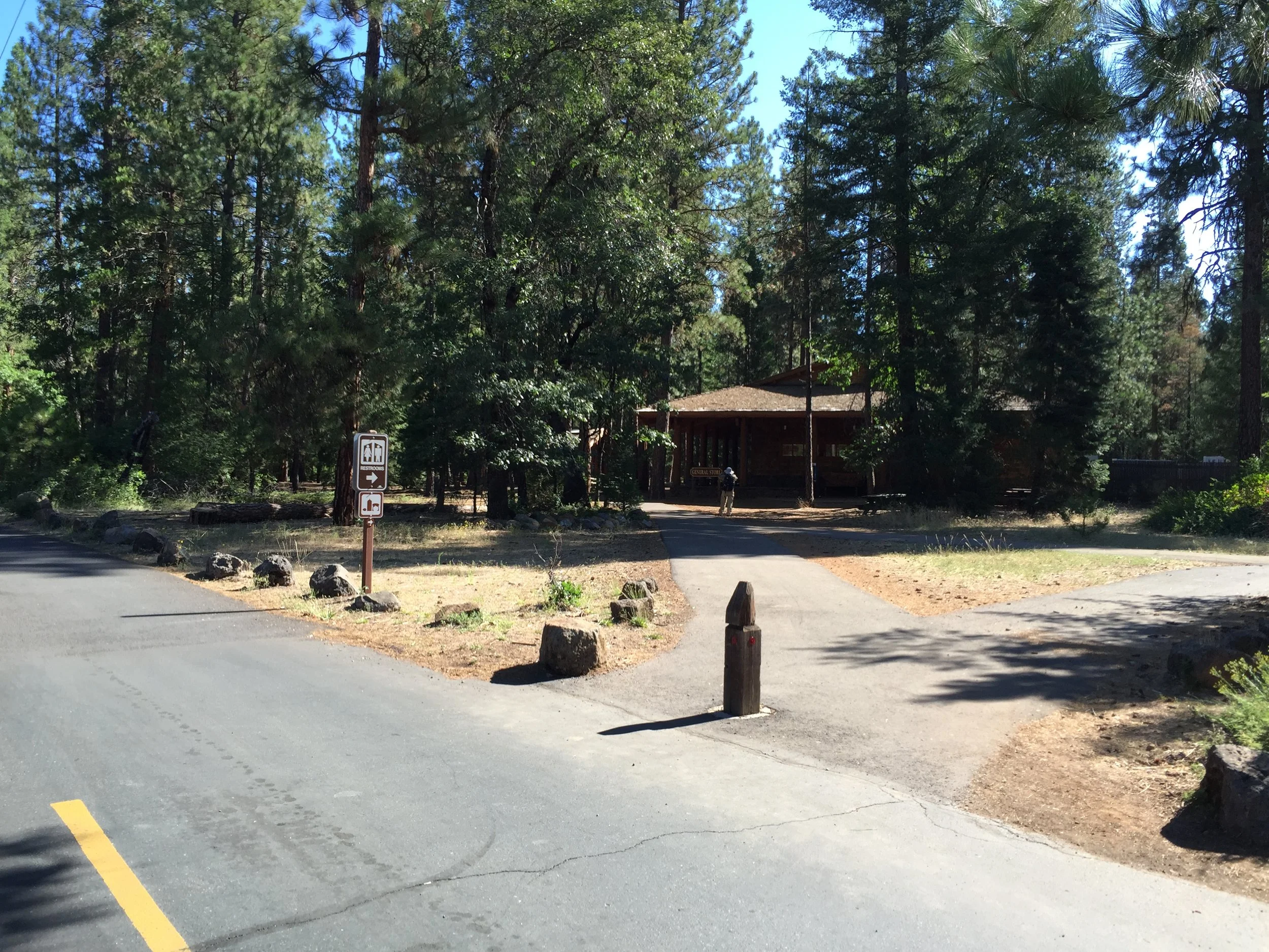
Day 92 - Burney Falls. 1438.0 (22.1)
A jam packed day, everything from organizing my resupply to fit it all in my backpack (which always takes some time) to hiking nearly 22 miles after starting at 10:30 am.
Butterfingers and I were up and out of camp relatively early, compared to my recent camp departures. Our motivation was a cup of coffee and ice cream for breakfast at the Burney Falls State Park General Store. Arriving around 7:30 am, we were too early for them to serve their soft serve ice cream. Once again my attempt at getting ice cream has been thwarted. Fortunately I was in no rush, and wanted to take some time to see the Falls, so after I shoved all of my resupply food into my backpack, Butterfingers and I walked the quarter mile paved trail down to the bottom of the Falls.
Once back at the General Store, we got at least 2 servings of soft serve ice cream and chatted with a few other hikers and people visiting the State Park for the day. One of the hikers name was Surplus, a German women from Seattle who always... and she emphasized ALWAYS had to much food. She said she tried getting rid of more in town, but giving away half or more of a resupply box in every town can be mentally challenging. Other than that, she was having issues with the monotony that can be felt while out on the trail.
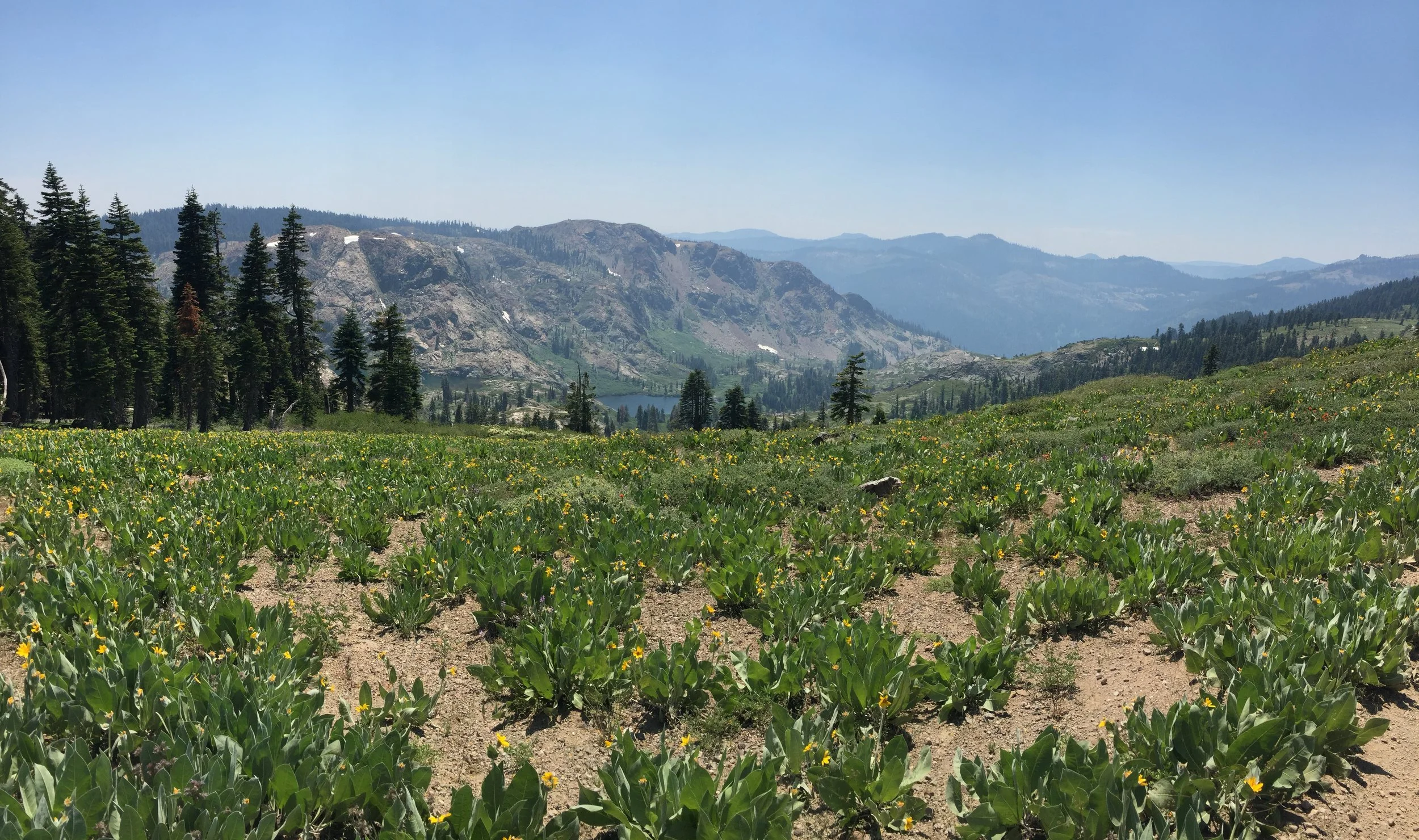
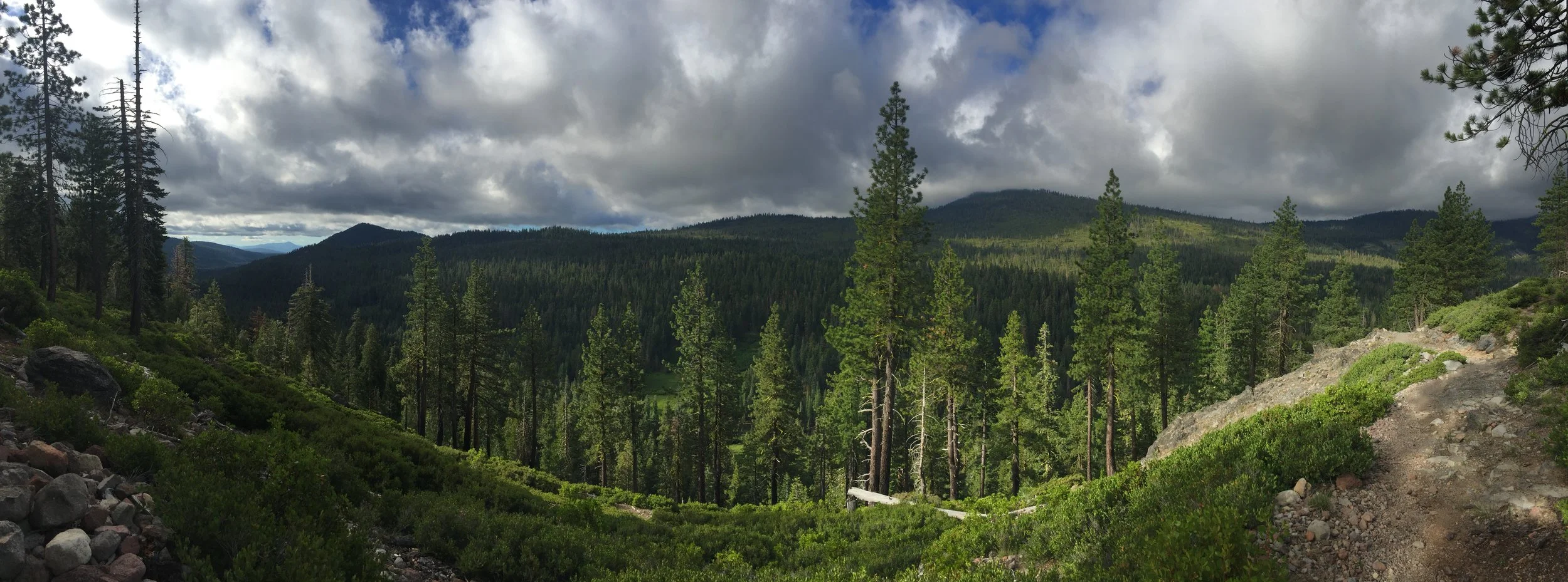
I feel a lot of hikers were having issues with the monotony of Northern California. We were all use to hiking in the Sierra-Nevada Mountains, which on a bad day would have an infinite amount of incredible views. For myself, Northern California was hot, dry, Bear and Dear infested, but overall I was beginning to find my rhythm and enjoy the new scenery.
Having a date to meet my family at Crater Lake also helps motivate me to keep moving, even on the days I don't seem to enjoy. Today was not one of those days. Having some amazing views of Mt. Shasta did not hurt.
Butterfingers and I left the State Park together around 10:30 am and set a goal for a campsite around 22 miles away. I figured this would take roughly 9 hours of walking, plus an hour and a half of breaks (at least), putting me in camp around 9:00 pm. I have not been a fan of hiking very late due to it getting dark, but with it being mid-summer the days are very long and hiking till 9:00 pm can easily be done without a headlamp.
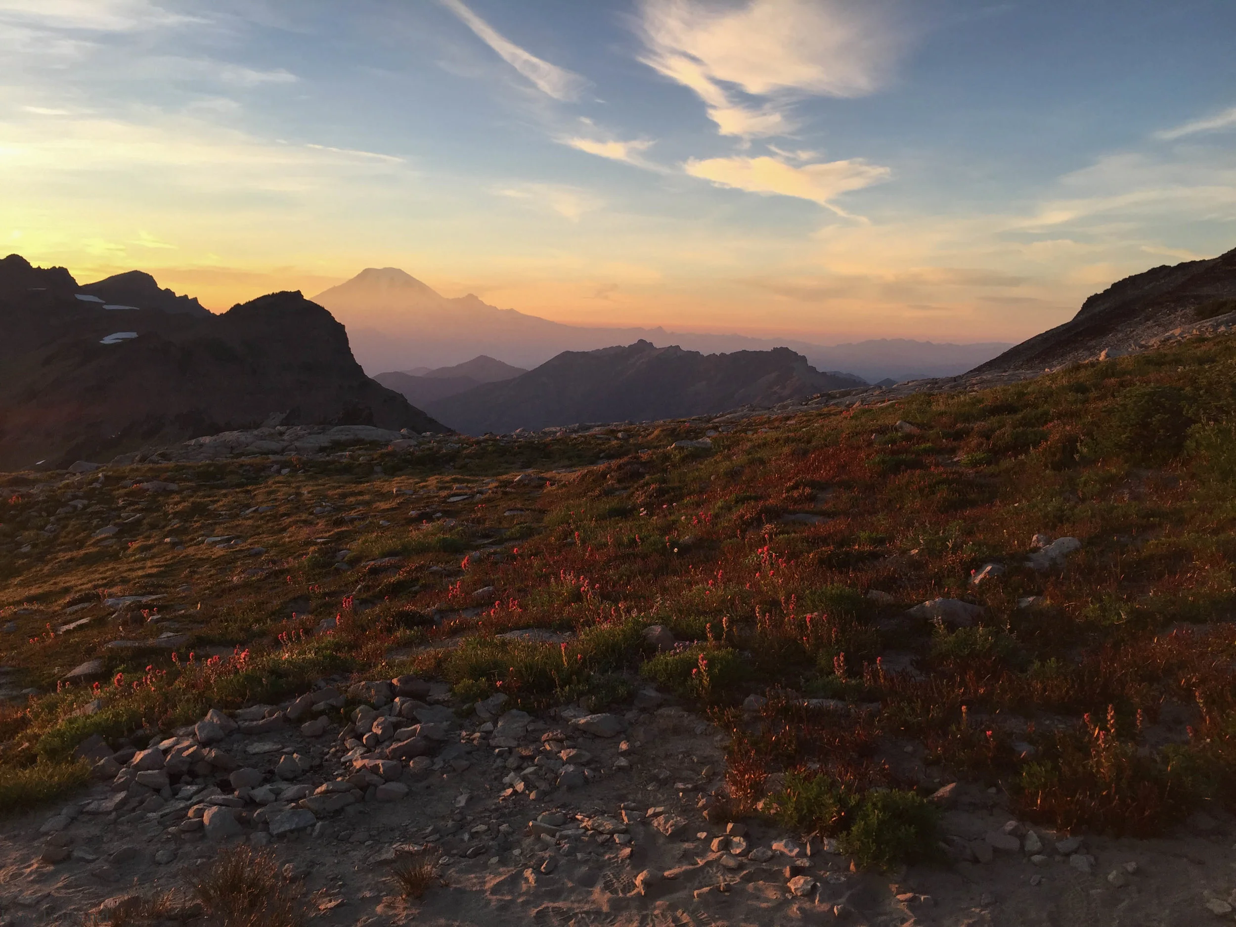
About 5 miles from camp, I passed Simon who had setup his tent on an exposed area of the hillside with an EPIC view of Mt. Shasta. He told me he and a friend back home were competing to see who had the best campsite this summer. I think his site could be one of the more spectacular campsites along the PCT. Definitely at the top of the list for Northern California.
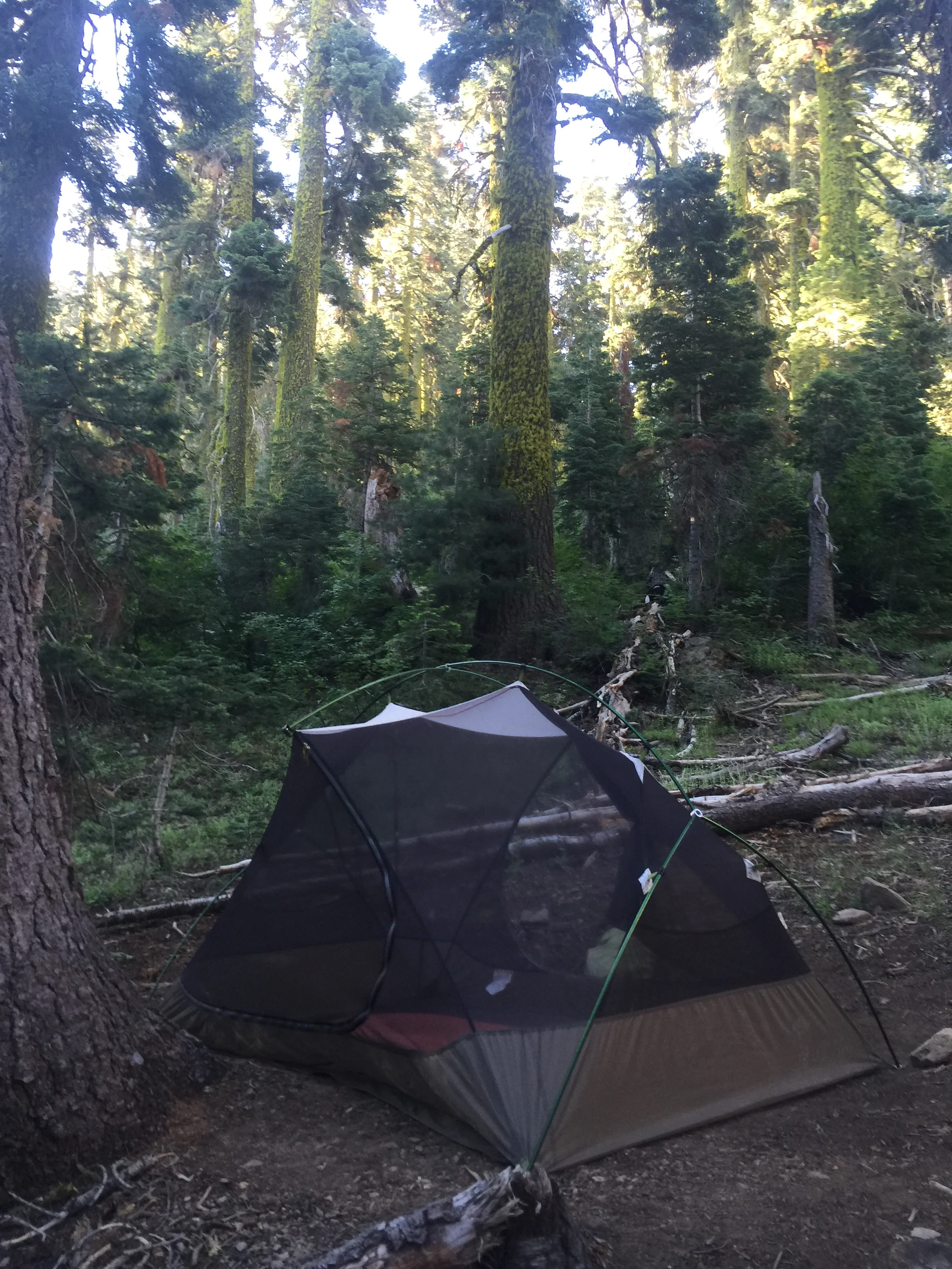
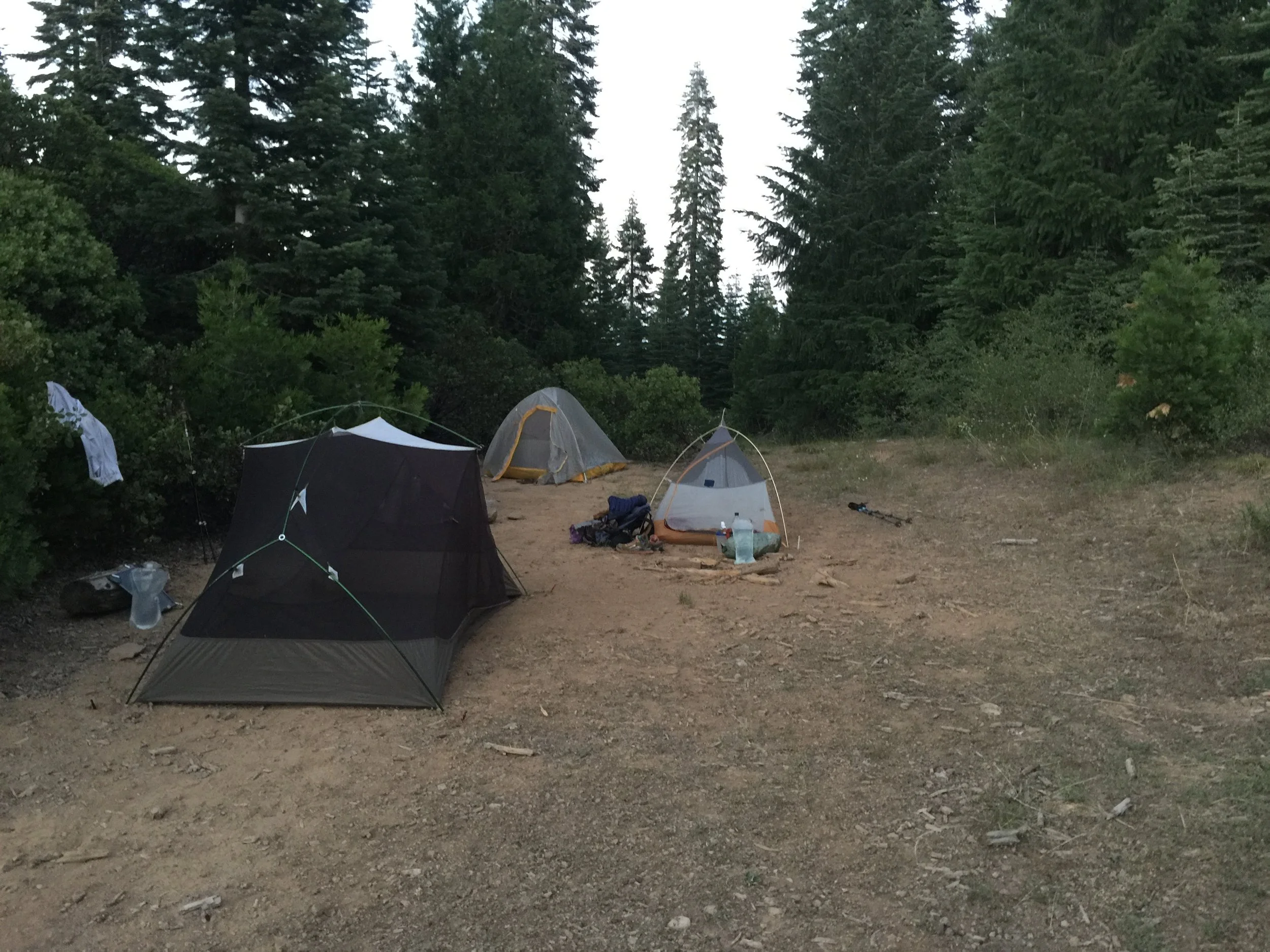
Nearing camp, the PCT travels through an area with so many Noble Furs that the area smelled like Christmas.. or rather Christmas Trees. The Sun set about the same time I arrived in camp providing me enough light to setup my tent with Butterfingers, Surplus and M&M. There were enough mosquitoes around to keep me in the mesh of my tent while eating dinner. It has actually been this way for most of Northern California.


Day 89 - A Long Flat Trail. 1367.2 (19.6)
I was up, bright and early. With plans to get as close to The Old Station (a restaurant and gas station near an important intersection) I pushed up the only hill of the day which consisted of 500 feet of elevation gain... That's it.
Around 9 miles for the day, I stopped for a small snack and refilled my water at one of two very large lakes. Together they make up the Twin Lakes of this area. While refilling, I had an eerie sense that something was watching me. I didn't know it at the time, but a few hikers left Drakesbad last night and had camped at these lakes and had major issues with a black bear all night long. If you remember from yesterdays post, this was the area I was wanting to camp, had I left yesterday evening.
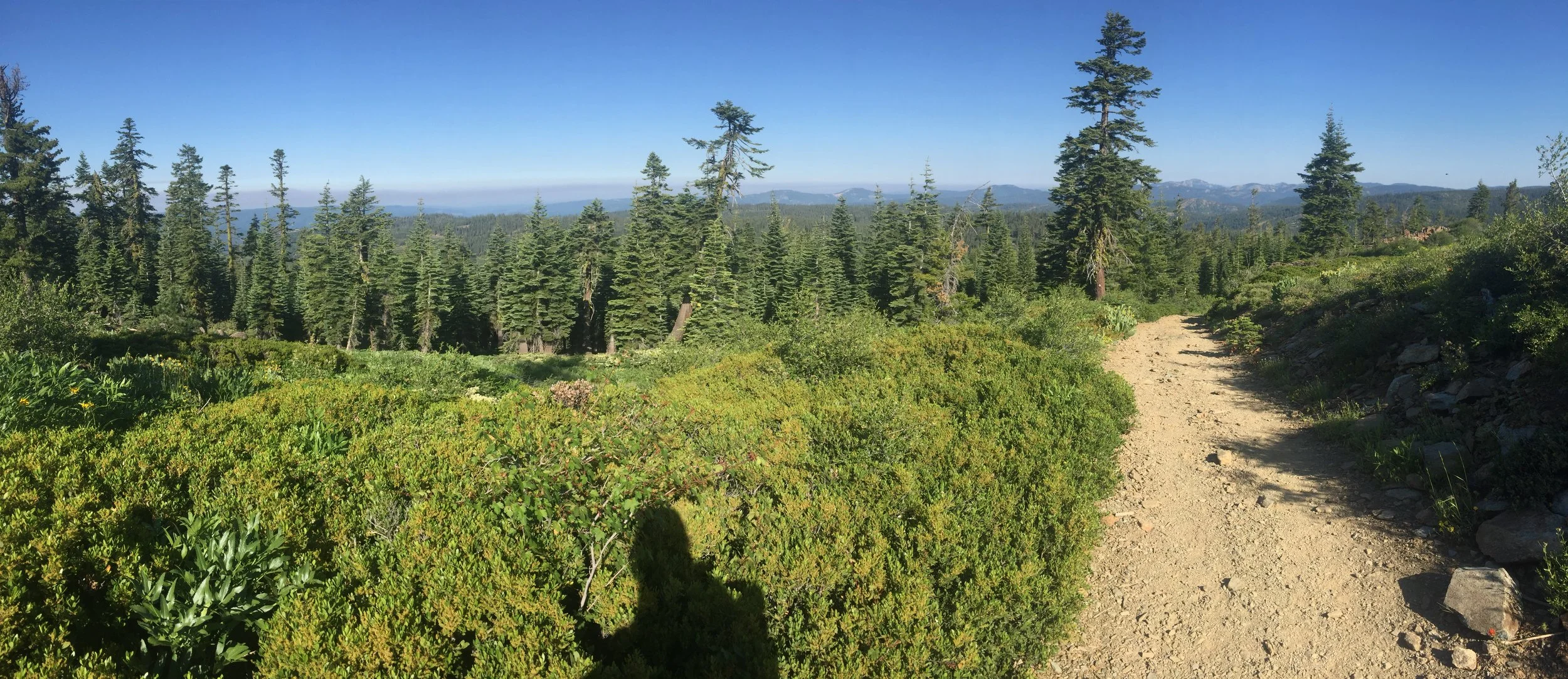
Without seeing anything in the area, I moved along quickly, checking my six every few minutes. Eventually I calmed down and tried to settle into a rhythm. I was on the second, of few noticeable flat sections on the PCT. Without any elevation gain, you'd think I'd be able to hike 25 to 30 miles. But I was never really able to find a rhythm, in fact the slight downhill the trail had seemed to make my legs and feet ache.
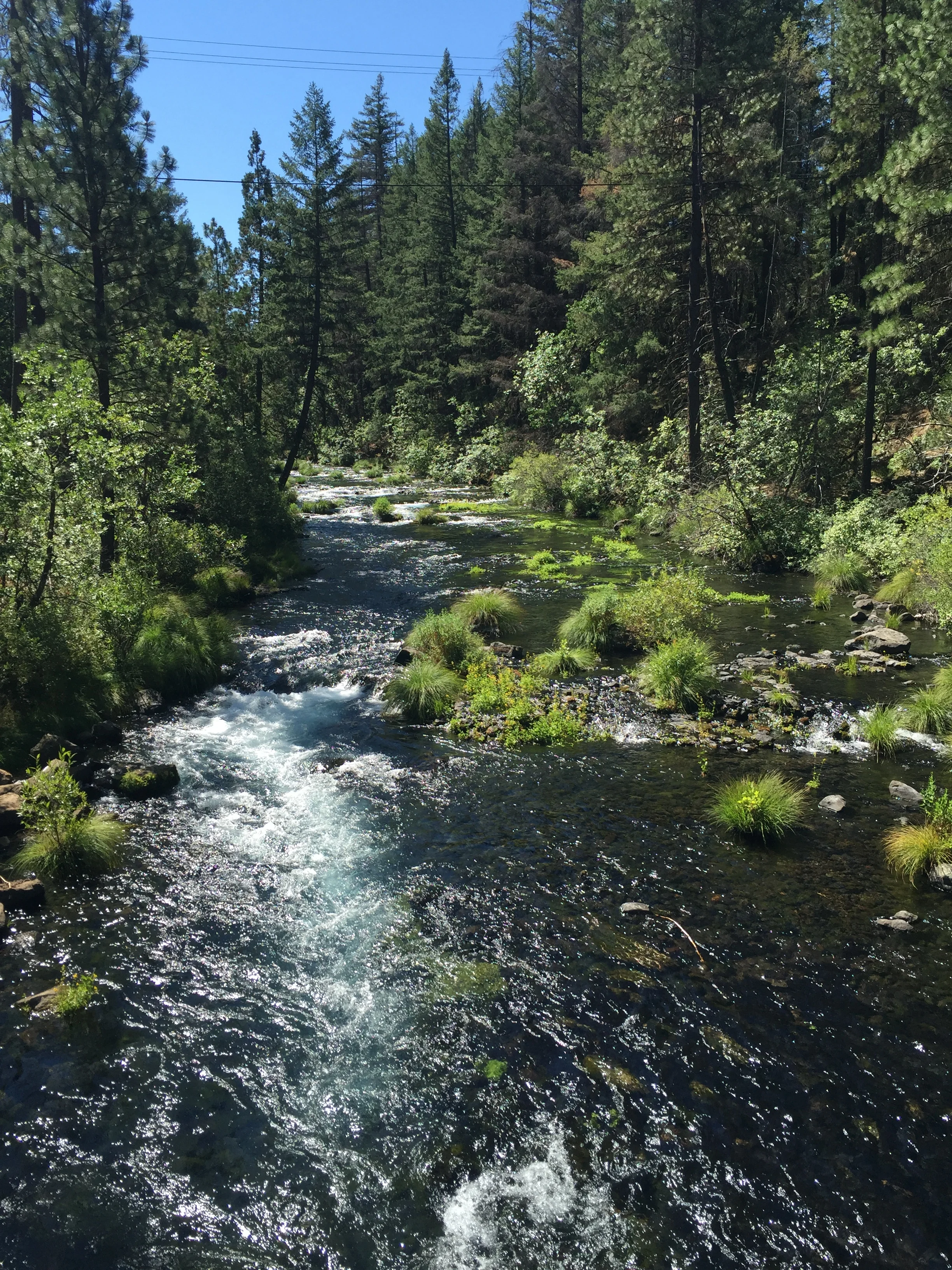
Nearing the 20 mile mark, the trail walked along a large river for a short distance and had a few very nice campsites. Though early in the day, roughly 4:00 pm, I stopped early and relaxed around camp, eating dinner and soaking my legs/feet multiple times in the cold river water.


Day 85 - Belden Town. 1290.2 (22.4)
Though I got up early to make it into Belden my mid-day, I was still the last one out of camp. That's fine with me, as long as I'm able to get myself out of camp before the mosquitoes become active. I don't believe that was the case this morning. In fact the mosquitoes were bad enough that I held my business the entire 16 miles to Belden.
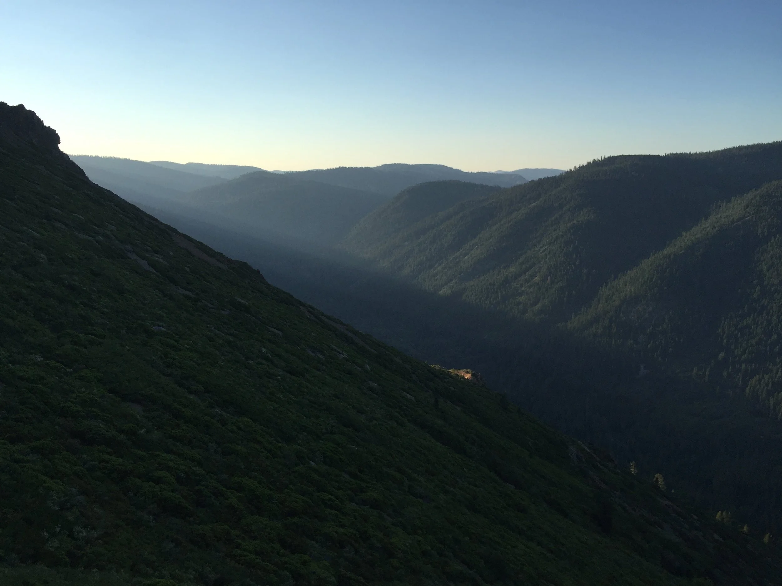
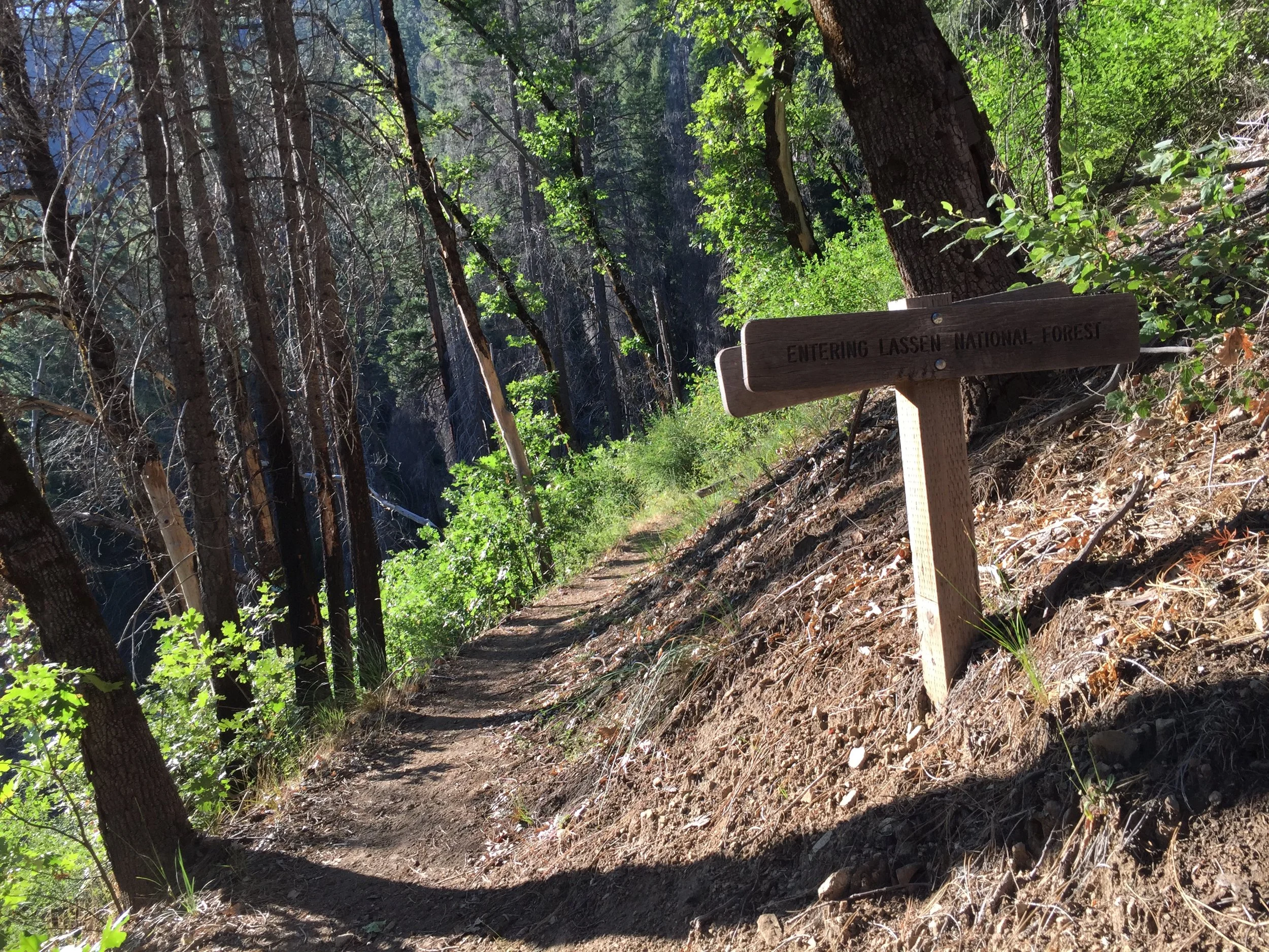
Those miles consisted of mostly flat or slightly downhill terrain that was covered with lush foliage and dense woods. As the trail started its final decent into Belden, the view into the valley opened up and I could see the full extend of the hills ahead. In fact, I could see as far ahead as Mt. Lassen, 50+ miles ahead and that made me very happy and excited for what lay ahead. The final decent was anything but easy. Sometimes covered in loose rock and other times covered in slippery mud, the trail switched back and fourth over the last 5 miles to town which was the only way anyone could have made it down the nearly vertical hill side.
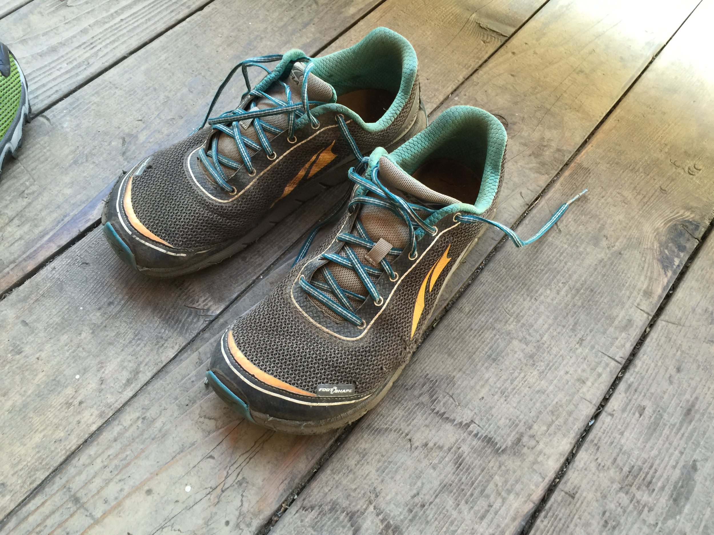
Fortunately my pack was light from being out of food and not needed to carry much water, but I was hobbling into Belden as my feet felt the effects of hiking with shoes that have covered 600+ miles, countless snow covered passes and even more raging icy creeks.
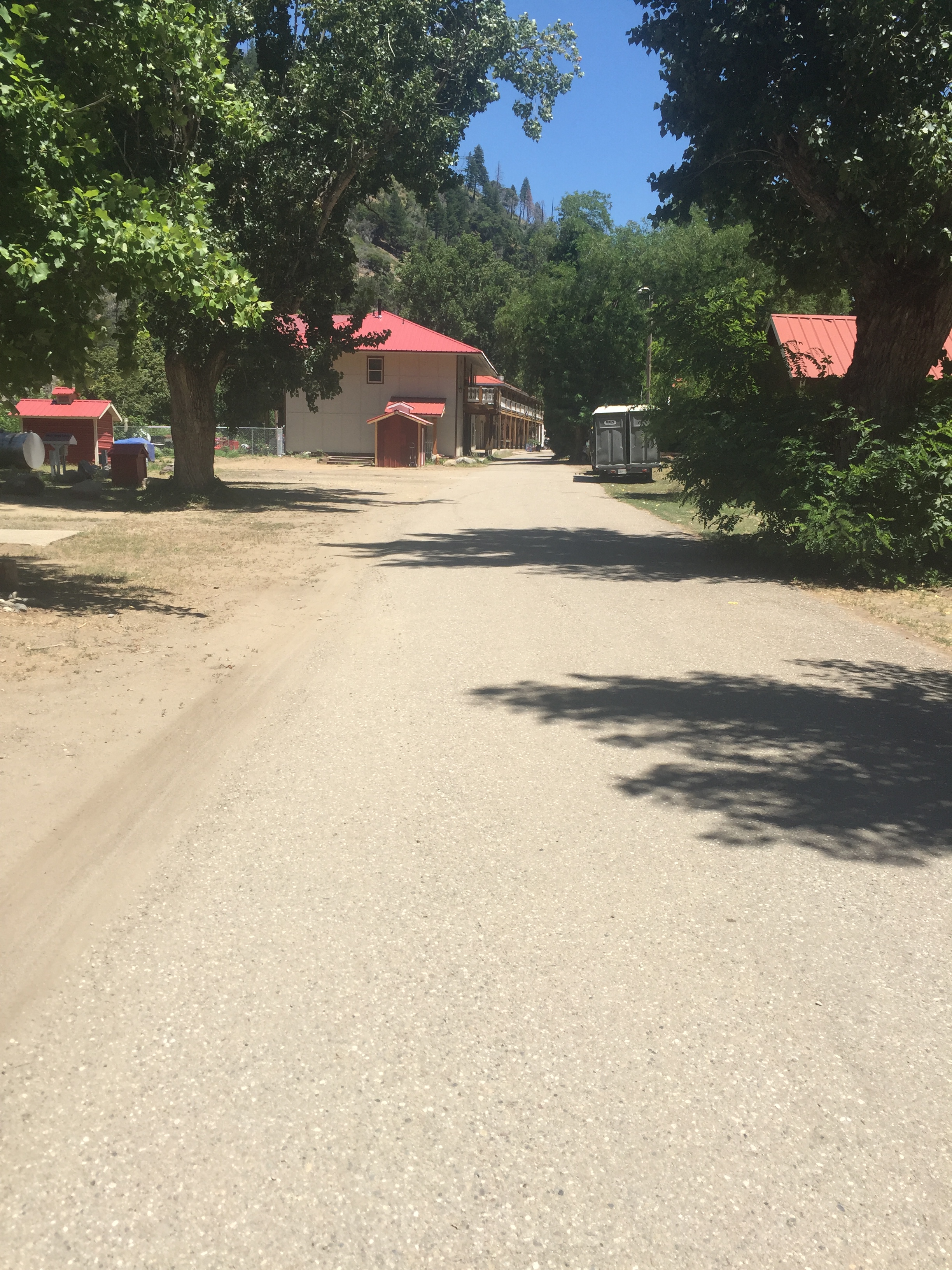
This town did not have much in the way of food or gear supplies. The food that was available was nearly 100% more expensive than larger towns and 50% more expensive than other secluded mountain towns. Their restaurant did make one hell of a burger, but their ice cream machine was inoperative! NO!!! It seems a lot of the time when I most want a milkshake, the machine isn't working (example: Day 20 - Cajon Pass McDonald's).
I sent two supply boxes to the General Store. One with food, maps, vitamins and everything else I normally get in a resupply. The second box had shoes and a few gear items I had asked my Mom, who shipped most of my supplies from home, to include as well. The trouble was, the worker who went to get my boxes couldn't find the second box. I sat around for a good hour trying to figure out whether I should stay, or figure out some way to forward the box ahead. I desperately wanted to have new shoes before walking another step on the trail.
Fortunately the owner was around and I had a short conversation about not finding the other box which caused him to go look one more time in the back room. He took me with him this time and what do you know, my box was front and center. Later I'd found out the worker miss heard me and thought I said the second one was an envelope. This small town, though helpful, had an unfriendly feel to it, similar to Hiker Town back in the desert section.
With my resupply all figured out, I was happy to leave Belden with a pack full of food and NEW SHOES! I would continue to hike an additional 6.5 miles which took me half way up the next climb (known for being long and hot). Even though I climbed it in the evening, I can attest to it being hot (very exposed).
At camp I found Simon, the section hiker I camped with the night I left Sierra City, Strapless and Vertigo. We all ate dinner around a fire and got to know each other. All the normal things such as, "where are you from" to "why are you hiking the trail". I enjoyed all of their company.


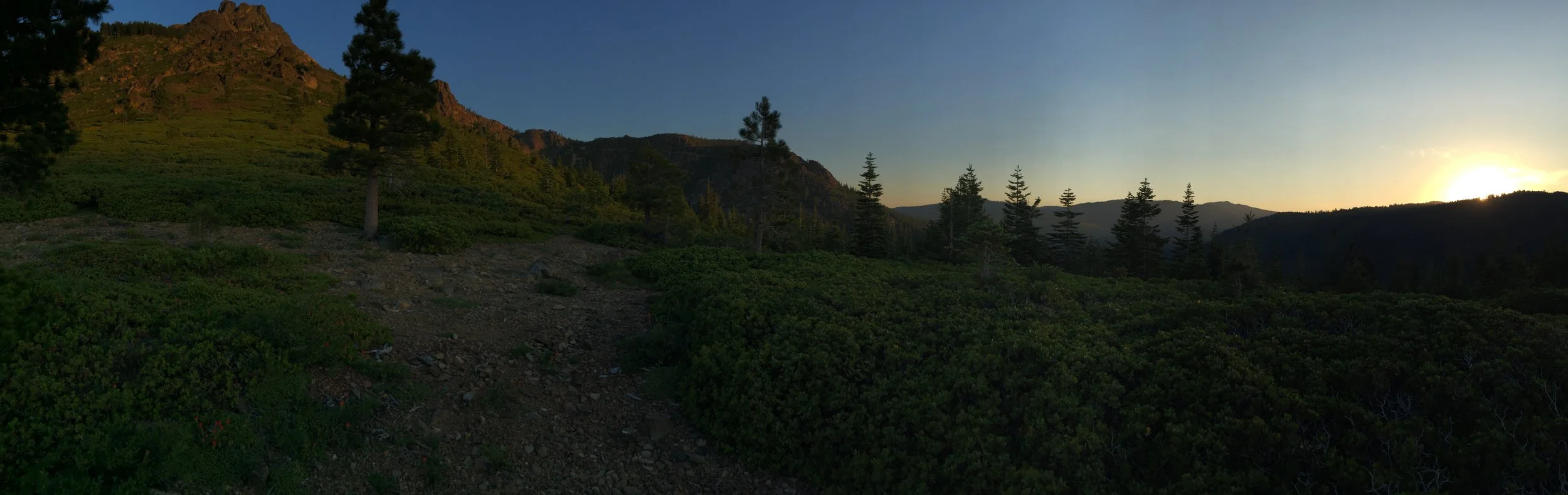
Day 82 - Sierra Buttes. 1221.5 (22.8)
This area is popular for outdoor enthusiast of every kind. With it being the Friday before the 4th of July (Monday), all of the road, trail-heads and off road access points were filled with groups ready for a weekend of fun. Most unaware the PCT went right past their campsite, it was fun talking to everyone. Definitely the most non-hiker activity I've seen on trail since I began nearly 3 months ago.
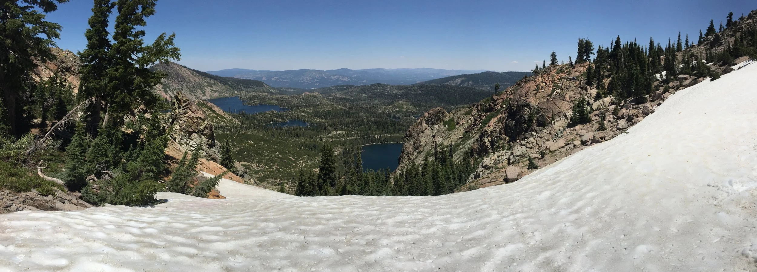
The area had very few water access points close to the trail. This would force me to carry more water than I had in the previous month. Something I didn't complete hate, since it meant that there was less snow. On Day 78, South-bounders were spreading the word that the last major on trail snow would be close to mile 1,225... and at the end of today, I was nearly there.
Toward the end of the day, my feet were in a bit of pain. My shoes were shot, and I wouldn't be receiving a new pair until the end of this leg from Sierra City to Belden. Around 2 miles from camp, I smashed my toes and yelled out a vicious F***! Not 20 feet around the corner, Irish Matt was working on gathering water, which he had hiked without for the past 10 miles or so. He looked at me with eyes that said, "oh, that was you and you are in pain as well". I mentioned my thoughts for camp in just a couple miles and then I moved along.
Shortly after arriving in camp, Irish Matt walking in and figured it was a nice spot to call it a day. Eating dinner around a tiny campfire (this area was pretty dry), it was the first time he and I actually had a chance to get to know one another. Good company and a meal is all it takes to wash away some of the aches and pains that occur on the trail. As the sun set, I gathered water for the night and following day, relaxed listening to a Joe Rogan Experience podcast episode and updated my progress in my trail journal.