Democrat - Cameron - Lincoln - Bross
September 14, 2017
Distance: 7.7 Miles | Duration: 6.0 Hours | Ascent: 3200 ft
- Democrat -
Slept in my car, waking to use the restroom in the early hours of the morning I saw headlamps leading up Mt. Bross. Those hikers would make the summit for sunrise; I would go back to bed. Hit the trail at 6:11am; the sky was starting to show signs of sunrise shortly after. Starting up Democrat, the trail is a pleasantly wide path passing near Kite Lake. Once the real incline begins, it doesn't let up.
Taking time to warm my legs up and stretch, it wasn't till 2/3 of the way up Democrat that I hit my stride. Making the summit a little before 8:00am, I ate a pop-tart and relax for 10 minutes. Then I spent a good 15 minutes looking for the damn USGS Maker, only to not find it. Cold, but enjoying the sunshine, I started down for Mt. Cameron and Lincoln.


- Cameron & Lincoln -
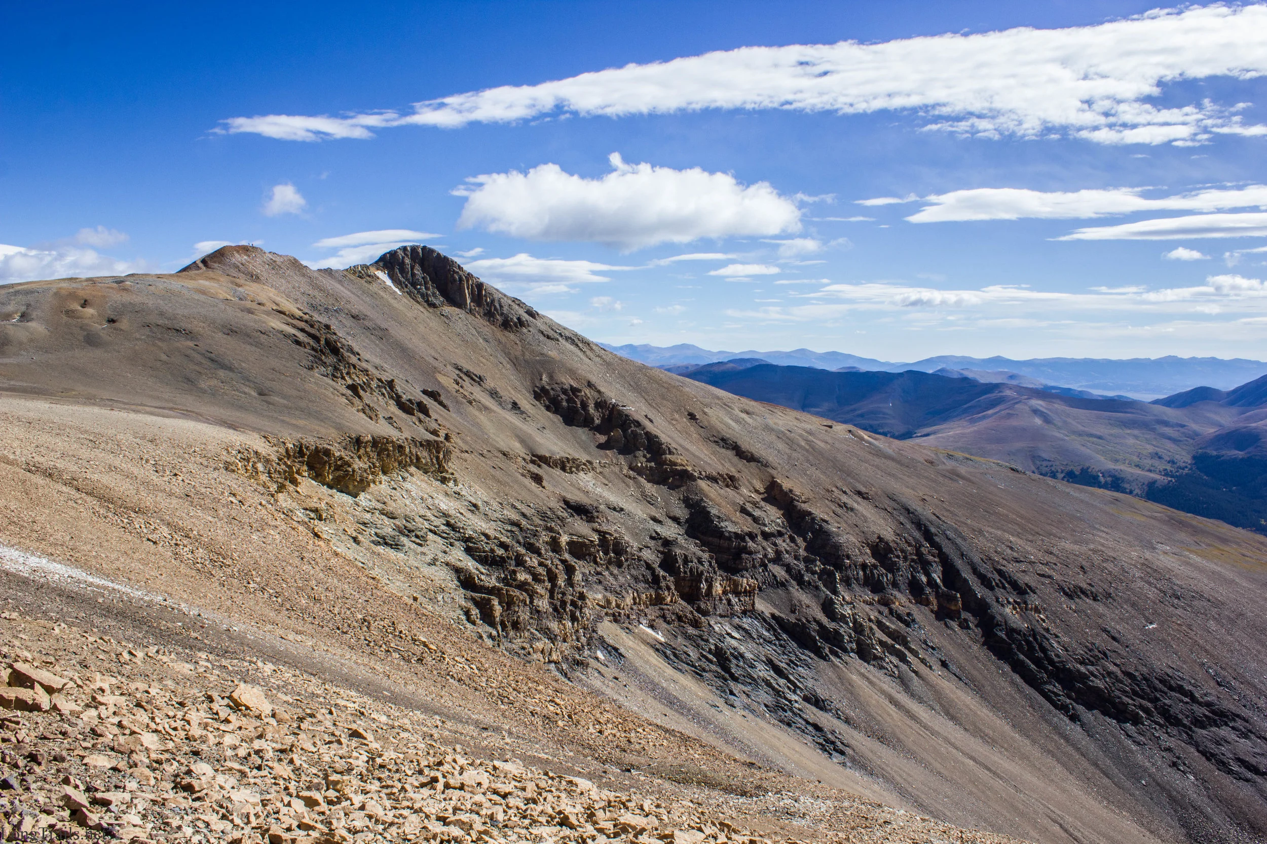
Going down Democrat was like going against morning rush hour traffic. There seemed to be a group of hikers around every corner.
At the saddle between Democrat and Cameron, the wind started to howl in full force. Attempting to blow me off the trail with every few steps, I would plant my trekking poles wide for extra stability. A rather gentle climb; it was rather nice not starting from thousands of the feet below for each of these four peaks!
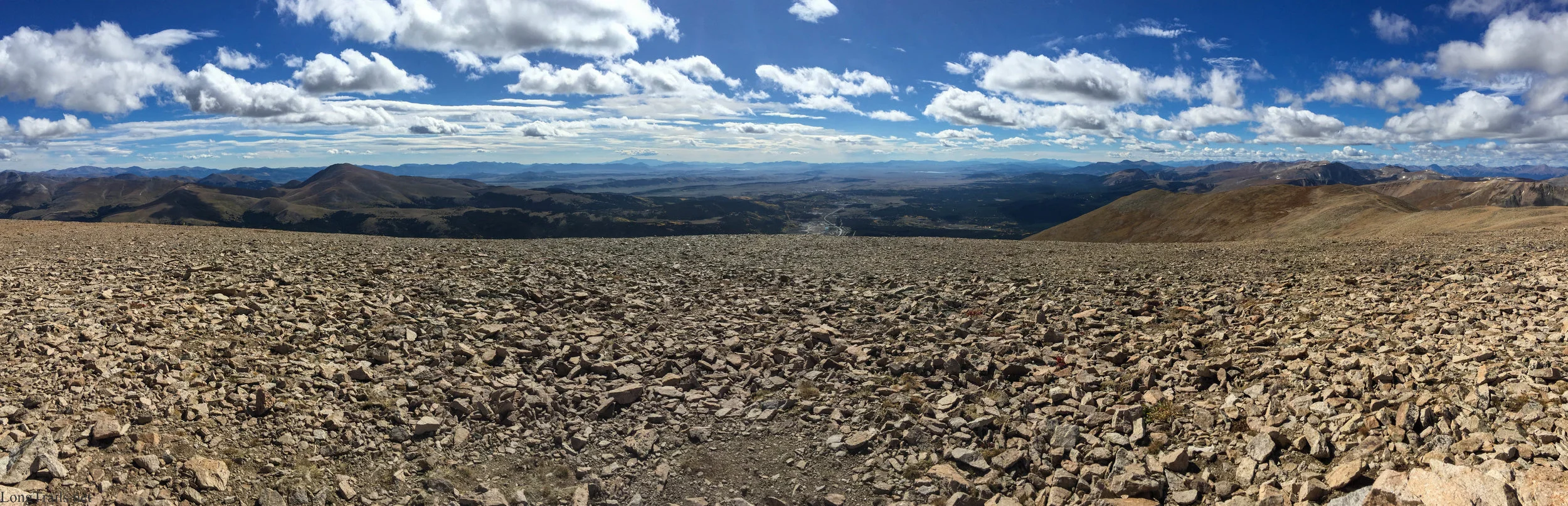
Cameron's Summit is flat! I found a small hole to sit in for 5 minutes after running around looking for another USGS Maker. I'm 0 for 2 today.
Now many don't count Cameron as a true 14er due to the lack of a saddle between it and Lincoln. I can understand why, but don't have strong feelings either way. I just know it was incredibly windy and cold. In hind sight, I should have put all my clothes on while sitting in the hole on Cameron, but instead I basically froze, then put clothes on and had to run to the top of Lincoln.
There are some nice shelters out of the wind at the summit of Lincoln. Also, the USGS Marker is exactly where it should be on this peak. 1 for 3! Out of the wind and into the sunshine, I warmed up quickly while eating a bunch of snacks. After a little bit of stretching the legs, I was on my way to Bross the final Peak.


- Bross -
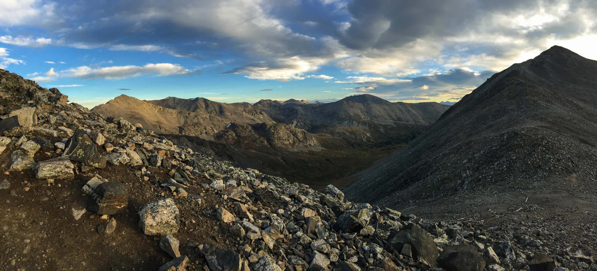
My legs appreciate the long gentle path leading from Lincoln to Bross. Though it seems the bypass trail does cut through some private property, there didn't seem to be another way established.
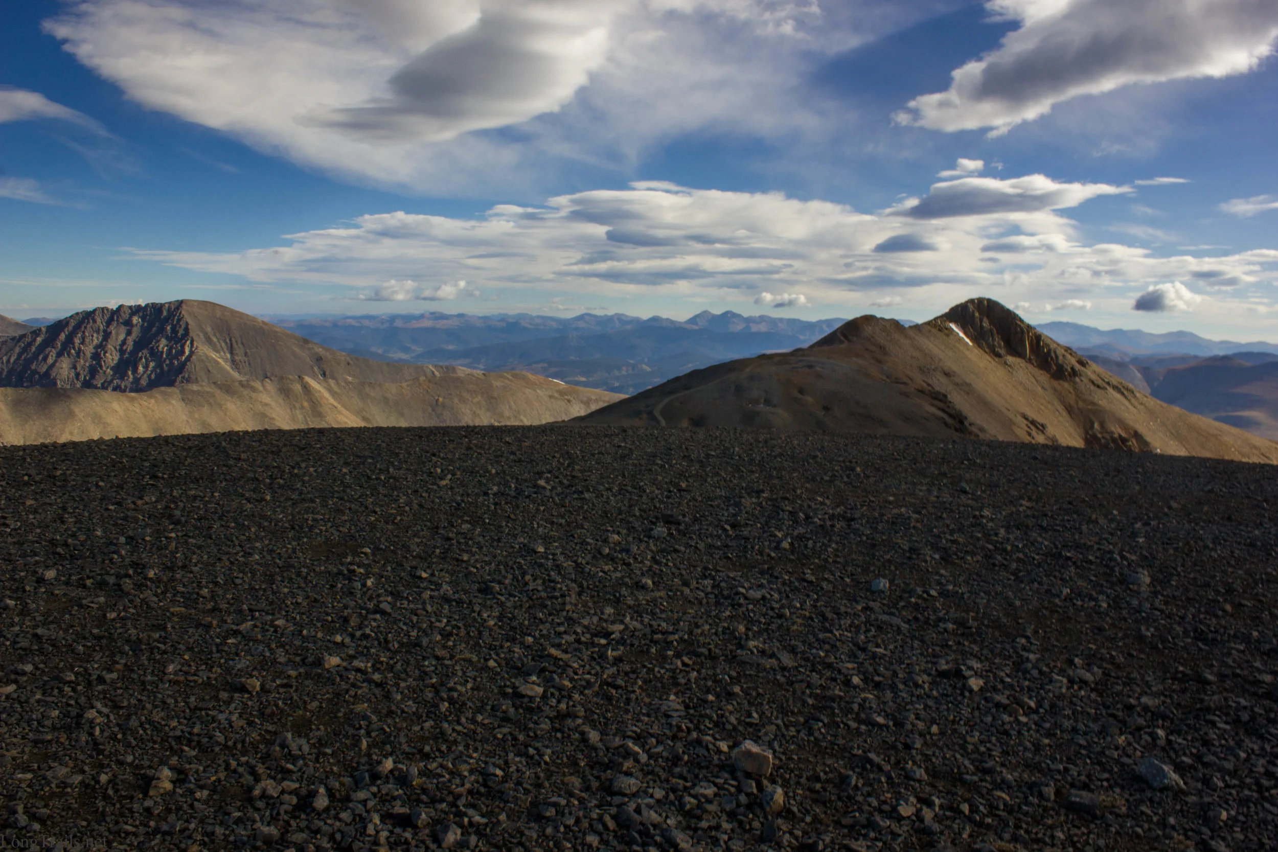
There was very little chance of any storms building while on top of Bross, so I at some food and relaxed for half an hour. I was beginning to accept that the flat summits may not have a USGS marker. That said, I still spent a solid 5 minutes looking. Instead, I'm left with a log.
With my legs refreshed from a long rest, I was ready to tackle the long steep downhill of Bross. Loose rock and dirt made the descent slow and tedicous, but I had all the time in the world; once I reached my car I would be done for the day.