• Northern Colorado Trail
    • NOCO Trail 2024
    • NOCO Trail Blog Overview
    • Colorado Trail 2023
    • CT Blog Overview
    • CDT 2021
    • CDT Blog Overview
    • Gear
    • AT 2018
    • AT Blog Overview
    • Gear
    • PCT 2016
    • PCT Blog Overview
    • Gear
    • Grays and Torreys
    • Bierstadt - Sawtooth - Evans
    • Long's Peak
    • Belford - Oxford - Missouri
    • Bierstadt
    • DeCaLiBron
    • Quandary Peak
    • Mount of the Holy Cross
    • BroLiDemCam
    • Elbert - Massive
    • La Plata
  • Off-Trail Gallery
    • Bierstadt Bloody Knee
    • PCT2016 Blister
    • About
    • Contact
Menu

Long Trails

All About The Adventure
  • Northern Colorado Trail
    • Northern Colorado Trail
    • NOCO Trail 2024
    • NOCO Trail Blog Overview
  • Colorado Trail
    • Colorado Trail 2023
    • CT Blog Overview
  • Continental Divide Trail
    • CDT 2021
    • CDT Blog Overview
    • Gear
  • Appalachian Trail
    • AT 2018
    • AT Blog Overview
    • Gear
  • Pacific Crest Trail
    • PCT 2016
    • PCT Blog Overview
    • Gear
  • 14ers
    • Grays and Torreys
    • Bierstadt - Sawtooth - Evans
    • Long's Peak
    • Belford - Oxford - Missouri
    • Bierstadt
    • DeCaLiBron
    • Quandary Peak
    • Mount of the Holy Cross
    • BroLiDemCam
    • Elbert - Massive
    • La Plata
  • Off-Trail Gallery
  • Bloody Pictures
    • Bierstadt Bloody Knee
    • PCT2016 Blister
  • Info
    • About
    • Contact
×
img_4212.jpg

Day 52 - Busy in Bishop. 788.9 (0.0)

Kevin Silvernale June 28, 2016

Took no pictures in town.  Lots of chores. Woke up early and went to the grocery store (Vons). Then I organized my food. On the previous leg, I nearly ran out. So this time I bought a ton extra and am super excited to be able to eat as much as I want. 

Then I walked quickly to the laundry mat to start a load. While that went on, I then went to the outdoor stores (there were 3) to buy... Auqamur, 2L Platypus (water bladder) and new shoes. Altra's!!

Aquamur is a water treatment system that doesn't require any filtering. My last bag on my filter broke and I am getting really tired filtering water. MC, Riley and Early Bird all use it and I am pretty excited to try it out. 

I also ran to the post office to ship my old shoes and some paperwork home. After switching the laundry into the dryer, I was informed that checkout was at Noon... It was 11:15 am(I thought it was 1:00pm). With all of my gear at the motel, I ran back to take a quick shower and pack everything up. Leah went to the laundry mat to pick up our clothes (we split the load). 

With all of the chores done, I went and ate lunch with a few others at a BBQ place. Then I called home, went to the bakery one more time, finally stopping at the coffee shop for a few hours. 

Tried to hitch to Independence but without any luck, I decide to take a shuttle with those mentioned above. Our hope was to make it to the Onion Valley TH this evening. With no hope of hitching, we found another shuttle up to the trail, for a little less than the cost of staying in town for the night. Bought another subway sandwich before going up. It was for dinner. 

In Pacific Crest Trail
img_4209.jpg

Day 51 - Kearsarge Pass to Independence and Bishop. 788.9 (7.5 off PCT miles)

Kevin Silvernale June 28, 2016

Woke up physically and mentally exhausted from the previous two days. But the promise of tacos gave me enough motivation to pack up by 5:45.  Moving very slowly, the 3 miles to Kearsarge Pass required a lot of effort. The snow on the downhill side took even more. Though the views were beautiful, the slick snow made the 4.5 miles to the trail head parking lot rather difficult. I fell at least 3 times. 

Arrive at the parking lot with most of the group, the next challenge began... Getting a ride to Independence, involving a 14 mile road down roughly 5,000 feet of elevation. 

After waiting for an hour or so, without seeing any day hikers, the 5 of us decide to call the motel I town who will give rides from the trailhead for $50. It was worth it as I was starving and out of food. 

Once in Independence, I went and got my resupply package from the post office and then went straight to subway. 

MC, Zinger and I then hitch to Bishop, a larger town 40 miles north of Independence. Both of which are along Highway 395 (a major trucking route). 

Arrived in Bishop around 12:30 and met the group at the Schat's Bakery. There I ordered a sandwich. 

Zinger and I then go to the hotel to get a room for the group. We end up fitting 7 people in one room. Three of us sleep on the floor on our mats. 

Everyone goes to do there own thing in town. I choose to work on uploading my blog. I then went back to the bakery with Zinger to get some gelato, which some of the people had with lunch. 

As evening rolled around, we all follow Riley to a local Mexican Restaurant. I ordered tacos which I had been craving for the past couple days.  

This blog held my attention for the rest of the night before I could I couldn't keep my eyes open anymore.

In Pacific Crest Trail
img_4156.jpg

Day 50- Forester Pass. 788.9 (14.2)

Kevin Silvernale June 28, 2016

And and ready by 5:45 morning. The goal was to reach be base of Forester Passed by 8:00am... I was there by 7:45 which I was surprised by, because my legs didn't want to move fast at all this morning.  They views up to the Pass were stunning as the sun rose. I feel as though I didn't appreciate this area a whole like while hiking through it. This stemmed from being exhausted from yesterday's long push, and an uncertainty of the infamous pass ahead. 

At the base of the main climb, I could see others going up and over the pass which gave me some comfort, but it was still very icy and I took my sweet time climbing up the steep slope. 

The last 50 feet were where the magic happened. A narrow traverse followed by a straight up climb to the top. Words cannot really describe the feeling of the top, but there was a huge sense of relief accompanying a euphoric sense of accomplishment. 

I saw others from my group approaching the top of the pass, so I waited, took pictures and then videos of each of them breaching the crest. 

Then the way down. The morning sun was directly shining on the downward slope which by 8:20 has already become soft. A lot of nearly falling followed by actually falling followed by a bit of post-holing cause the descent to take quite some time.  

Eventually reaching the valley below, the snow became more patchy. This was heaven for my legs. 

I decided to not stop and take any really long breaks today (something I commonly do), mainly because my feet were wet from a lot of stream crossing and I wanted to reach camp to relax and dry my gear out. 

I reached camp around 1:30 (my goal was before 2:00), then setup camp, left my clothes out to dry and took a short nap. 

ST and his buddy Ben rolled into camp about 30 minutes after me and we relaxed for the rest of the afternoon. I was running short of food so I forced myself to ration, leaving some food for tomorrow morning and the hike over Kearsarge Pass. 

Slowly the rest of the group made it to camp and we all relaxed and shared stories of the day while we made dinner. 

We were all pretty tired, so we all made it to bed around 7:30pm and I was asleep by 8:00. 

​[wpvideo Pm10PTMG]​

In Pacific Crest Trail
img_5265.jpg

Day 49 - Mt. Whitney and River Fords. 774.7 (23.9)

Kevin Silvernale June 27, 2016

Mileage Breakdown: 16.1 up and back down Mount Whitney to the PCT + 7.8 miles on the PCT = 23.9 miles Where to begin...  

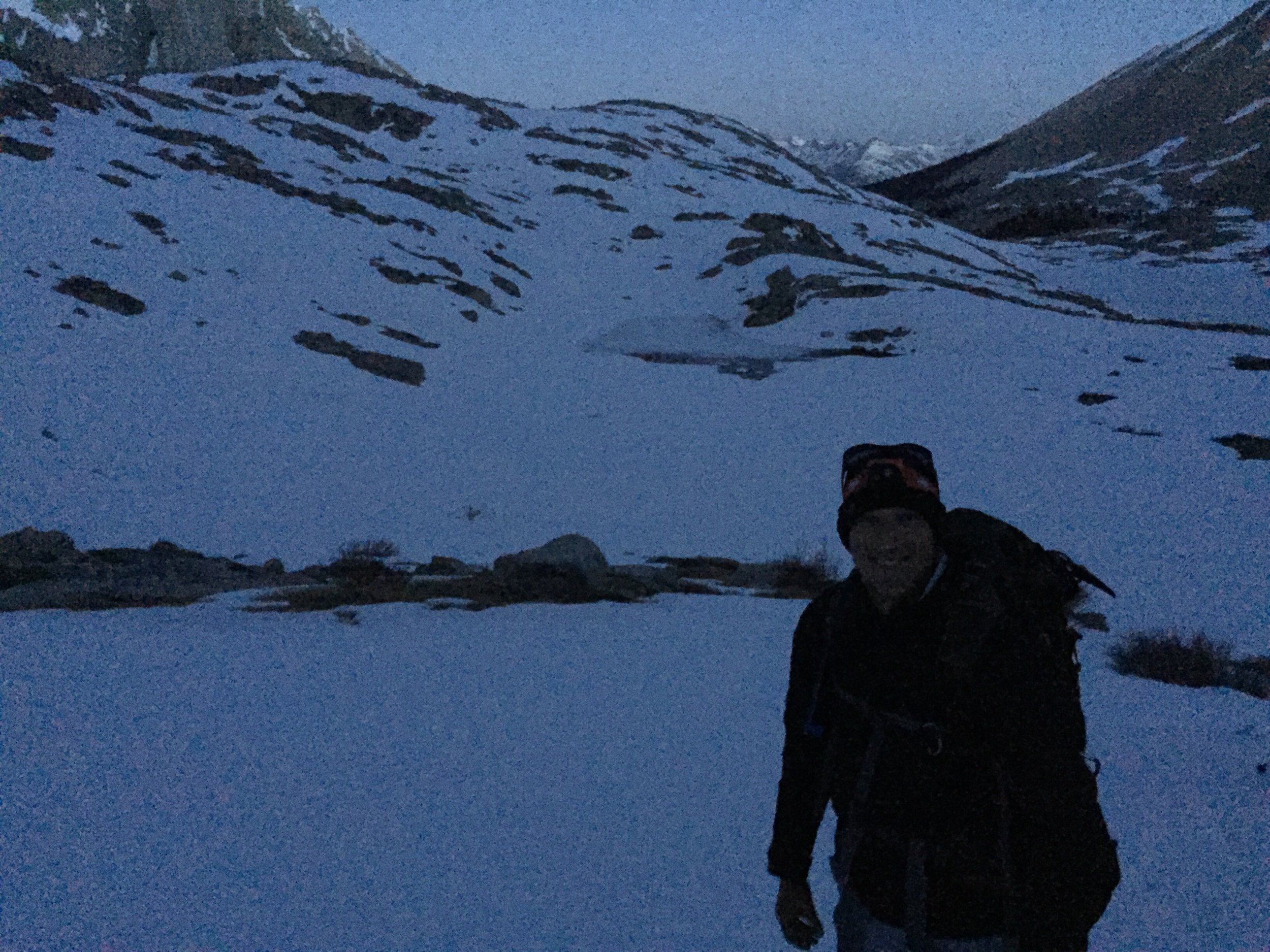
First getting up at 2:00 am worked great. I was excited enough that it was easy to get myself ready in a reasonable timeframe. 

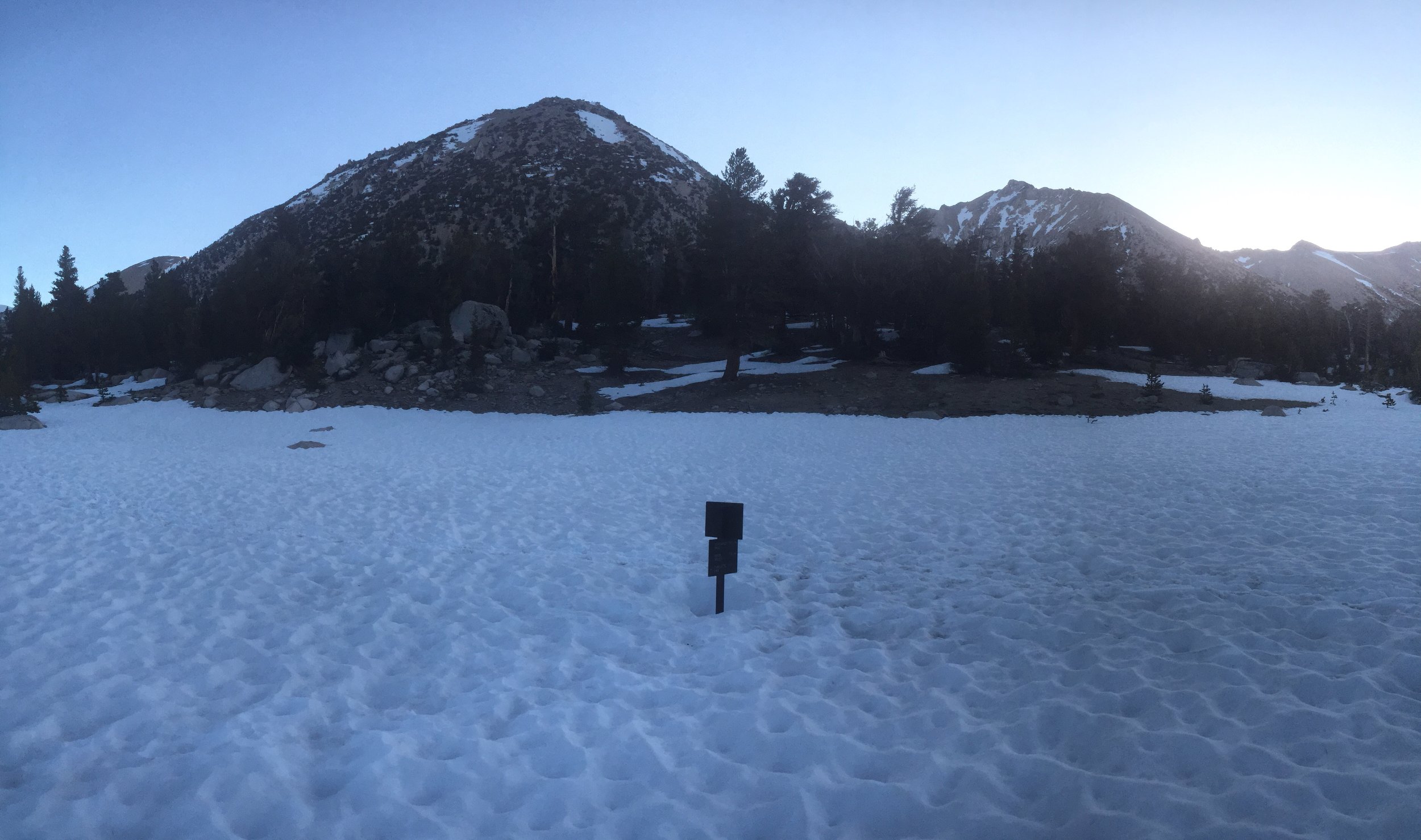
On the trail, we encounter our first obstacle. A river about 10 feet across was moving swiftly and nobody wanted to get wet that hour (3:15ish) fording it. The challenge was the log bridge that was in place was very unstable and icy. Frost was on everything. Some people didn't make it across without getting wet. I was fortunate to not slip on the middle section (had a 1/4 inch layer of ice on the log).

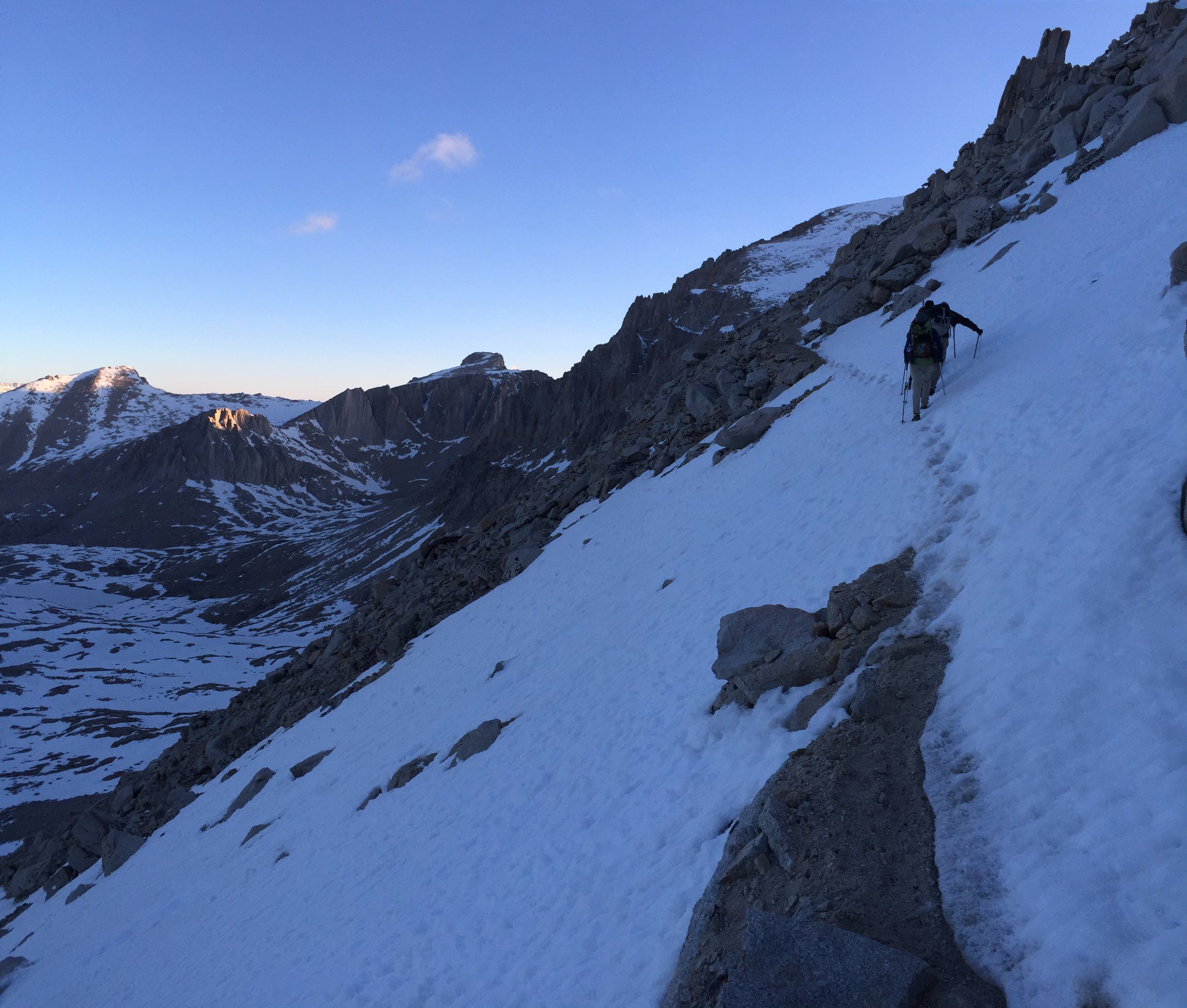
It was a 7.5 mile approach to the Whitney Summit. The first 4 miles were very easy, besides losing the trail in the dark while walking in snow. 

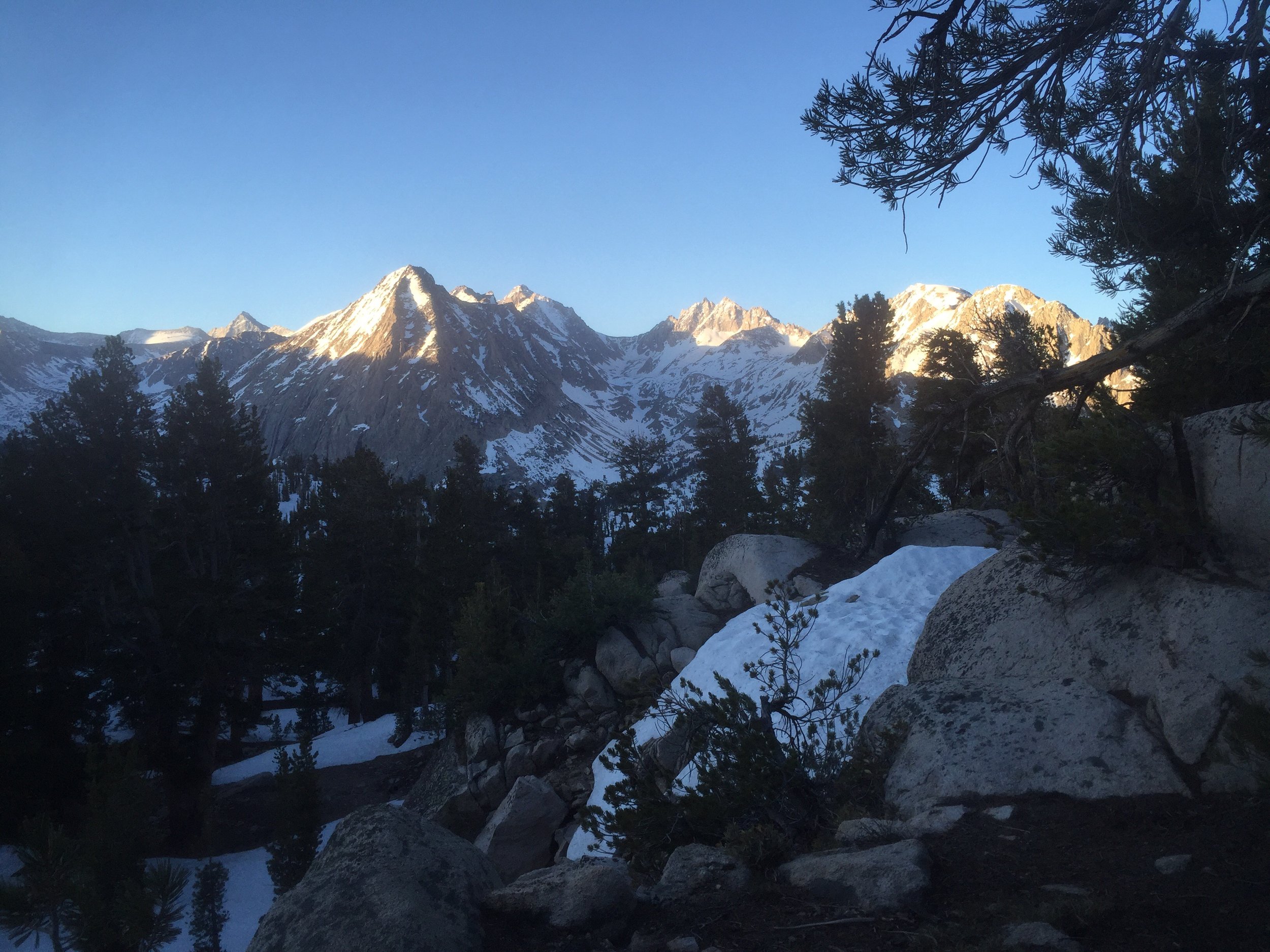
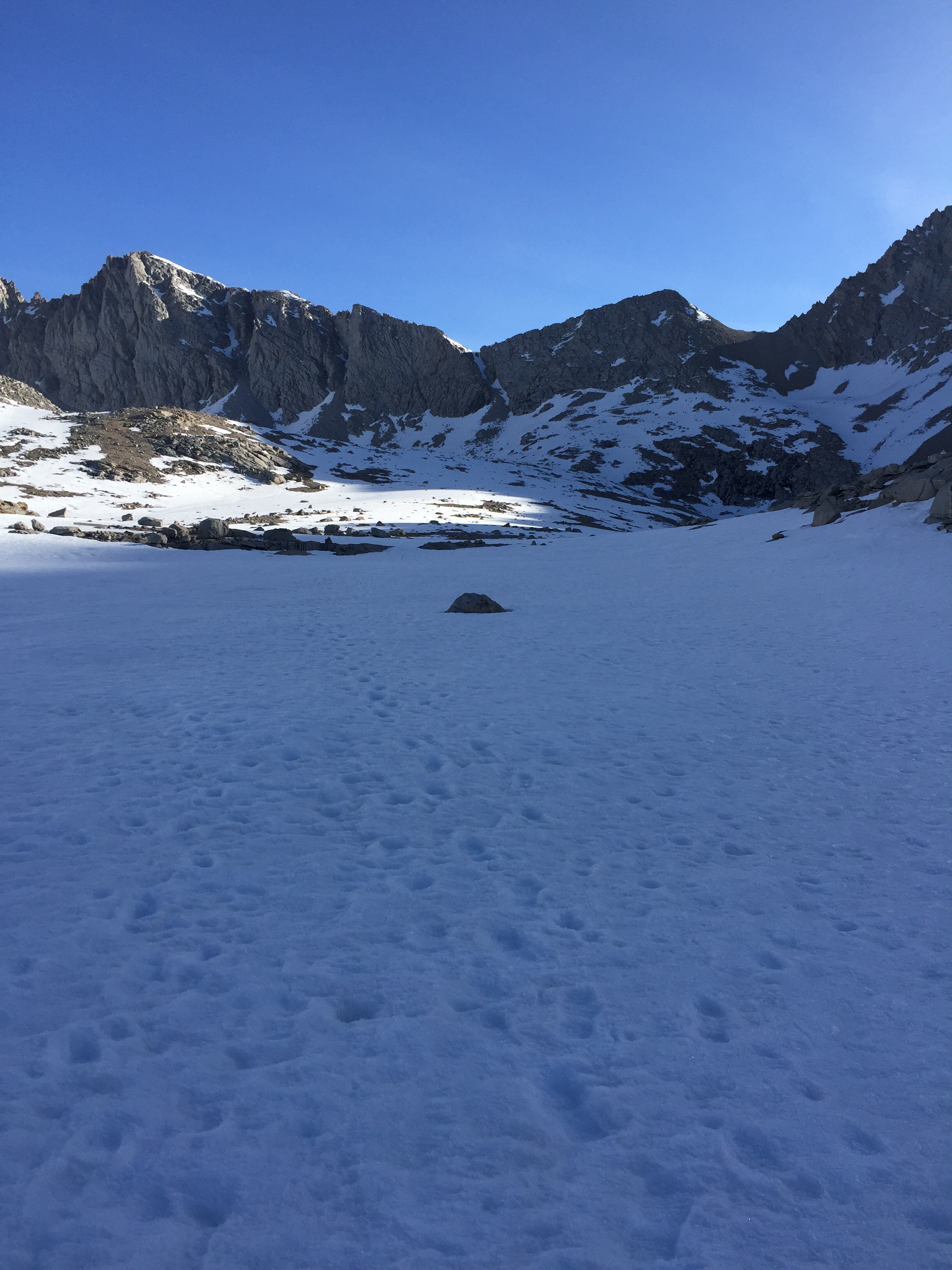
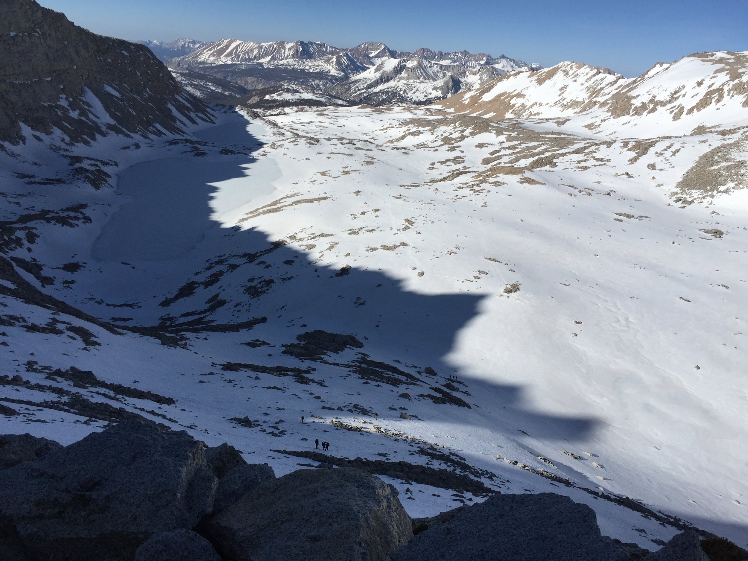
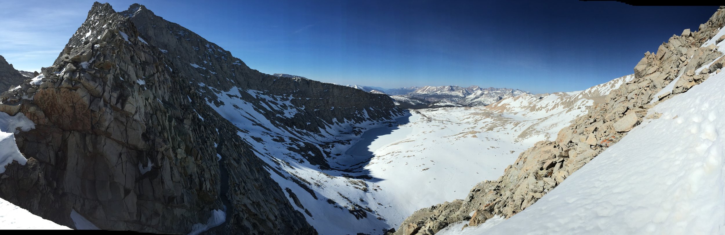
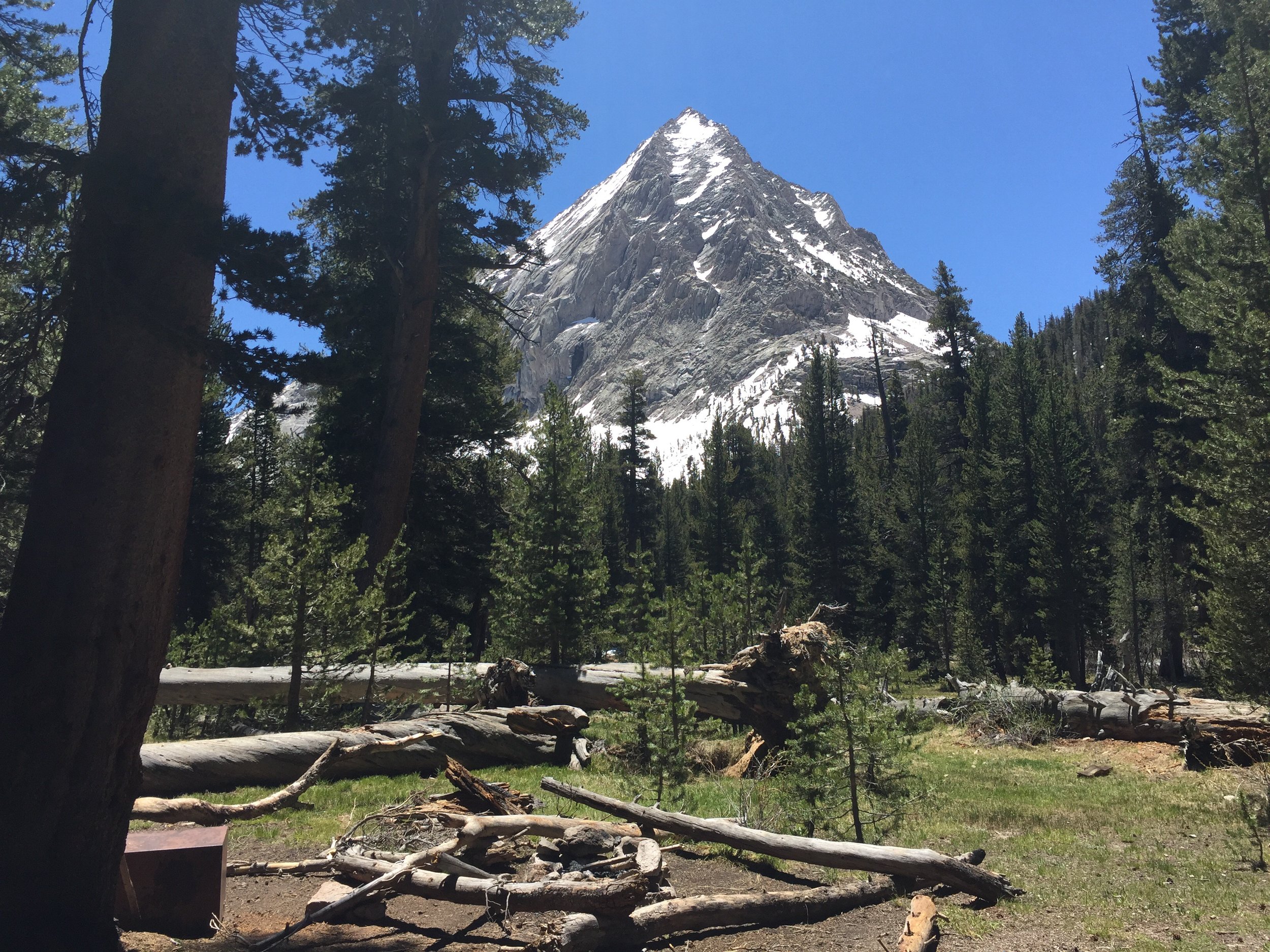
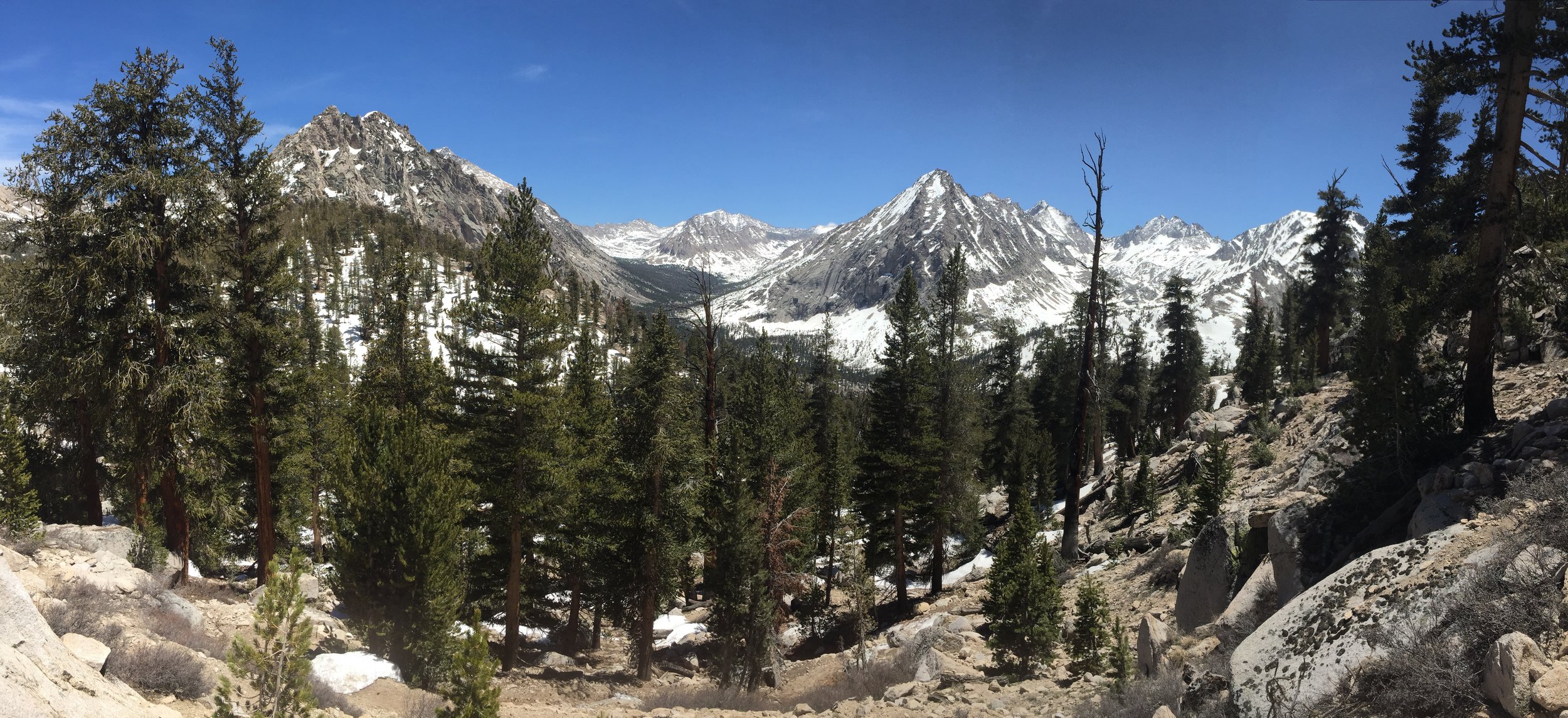
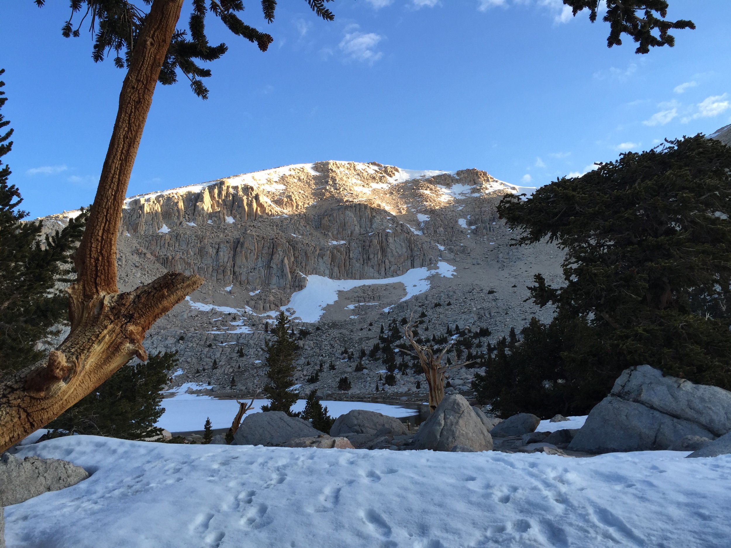
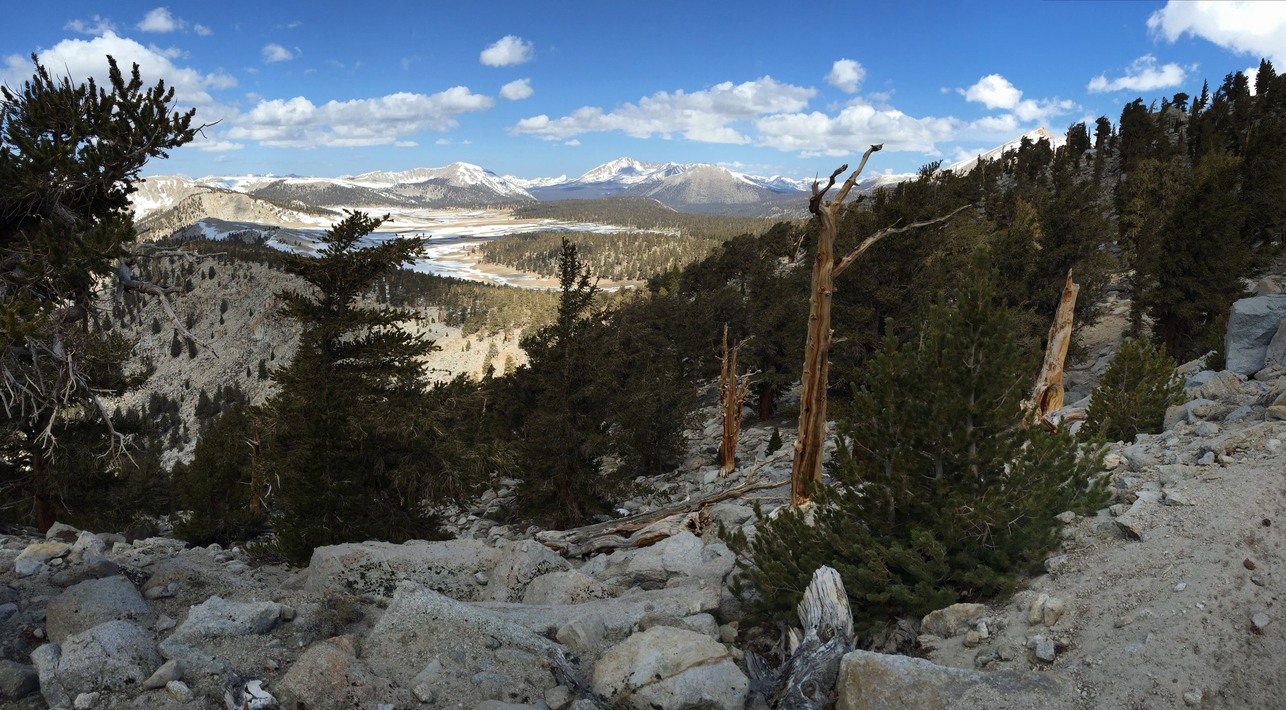
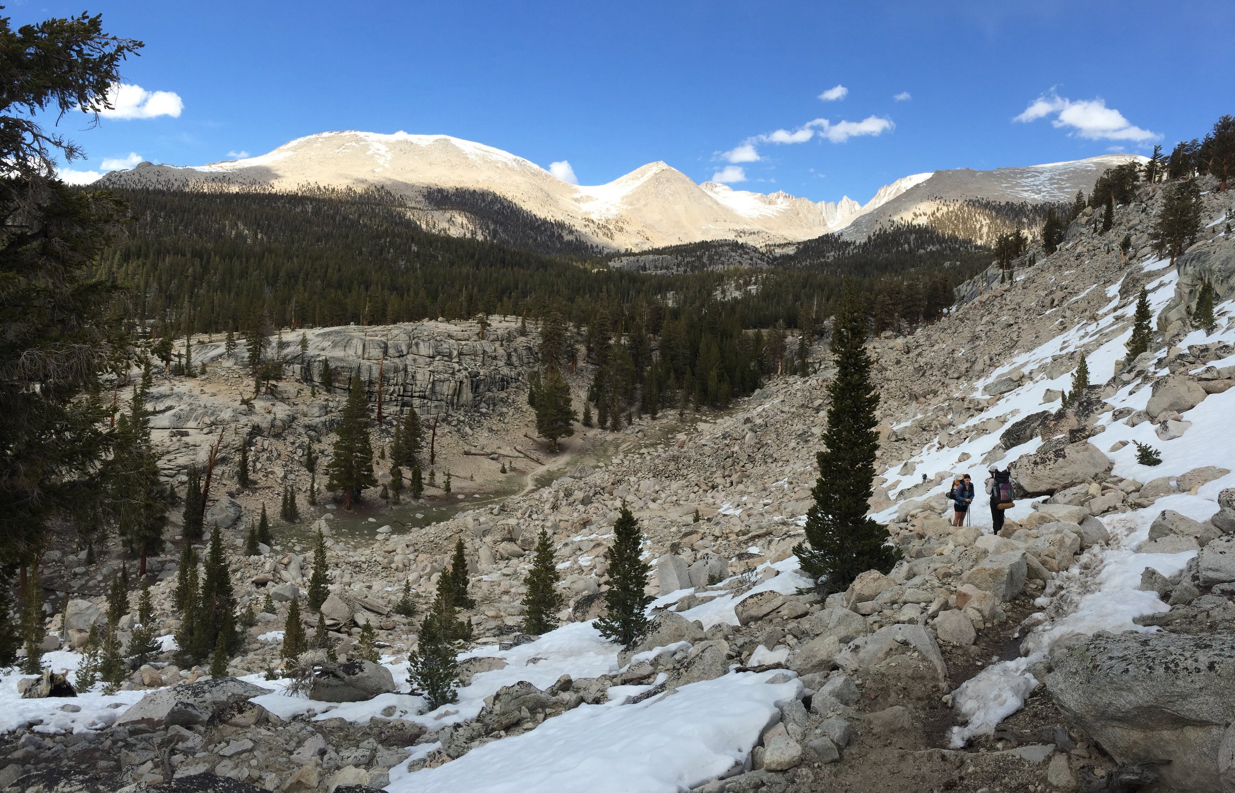
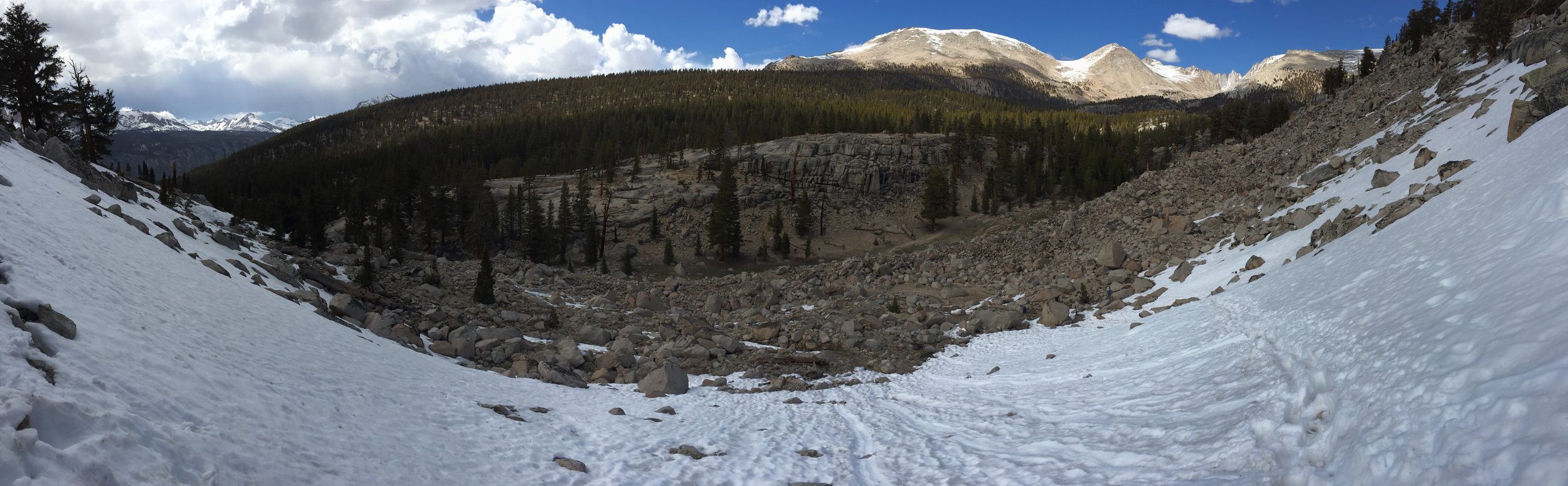
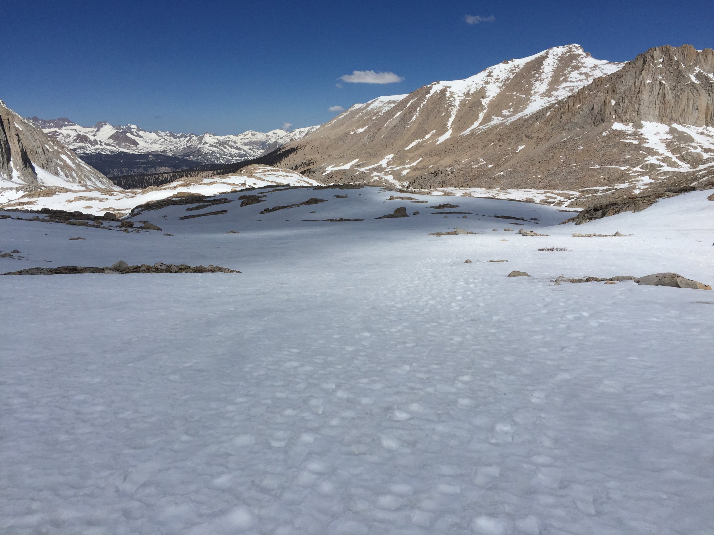
As the sun rose, the valley illuminated and the views were truly incredible. 

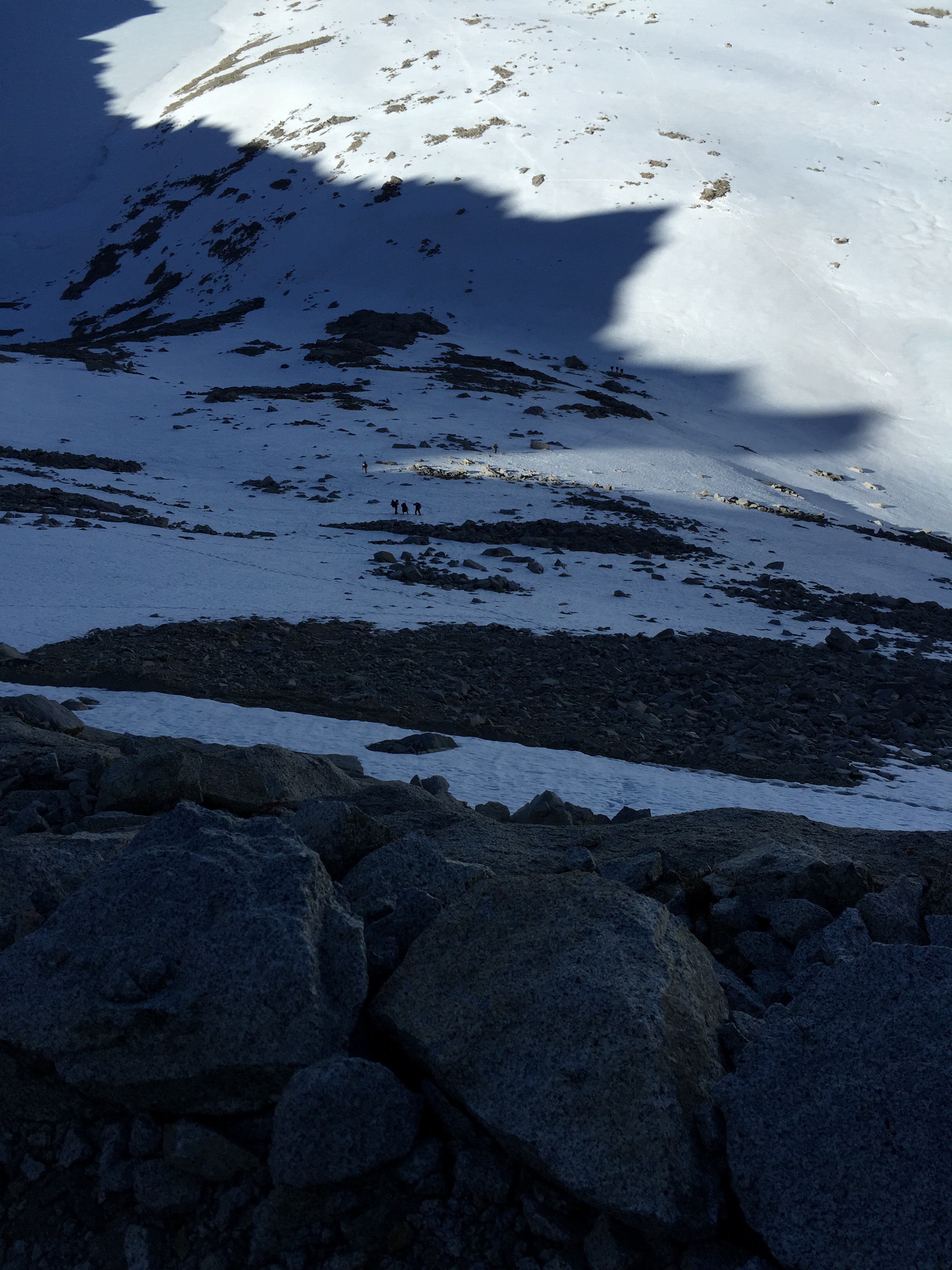
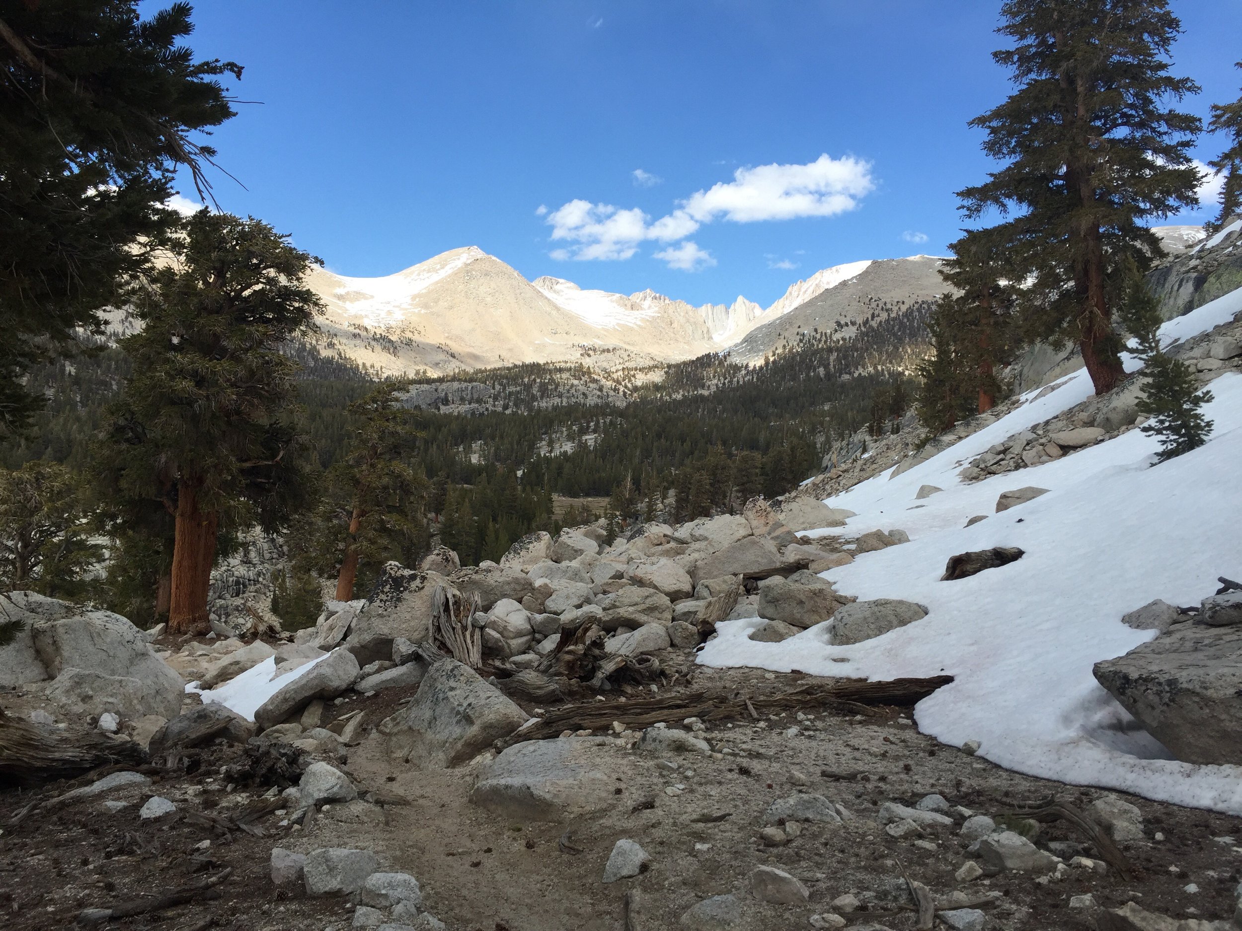
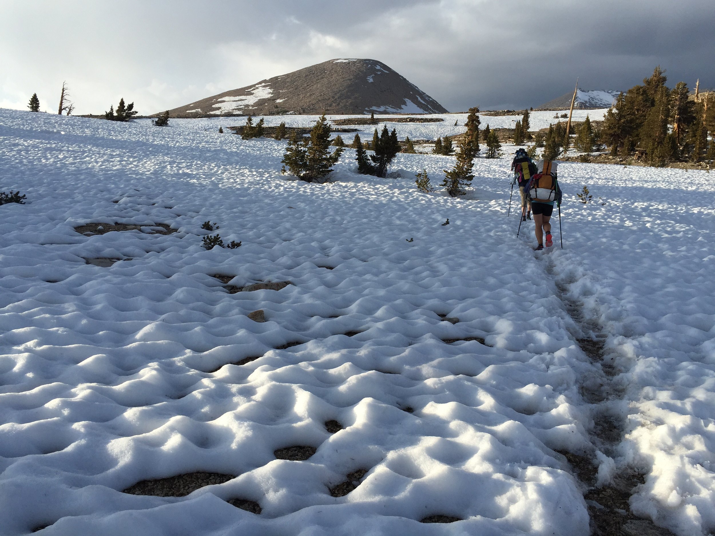
The following 3.5 miles had some challenging points where the trail would cross a snow field that was steep and the trail was not in the best shape. Careful planning and placement was required.  

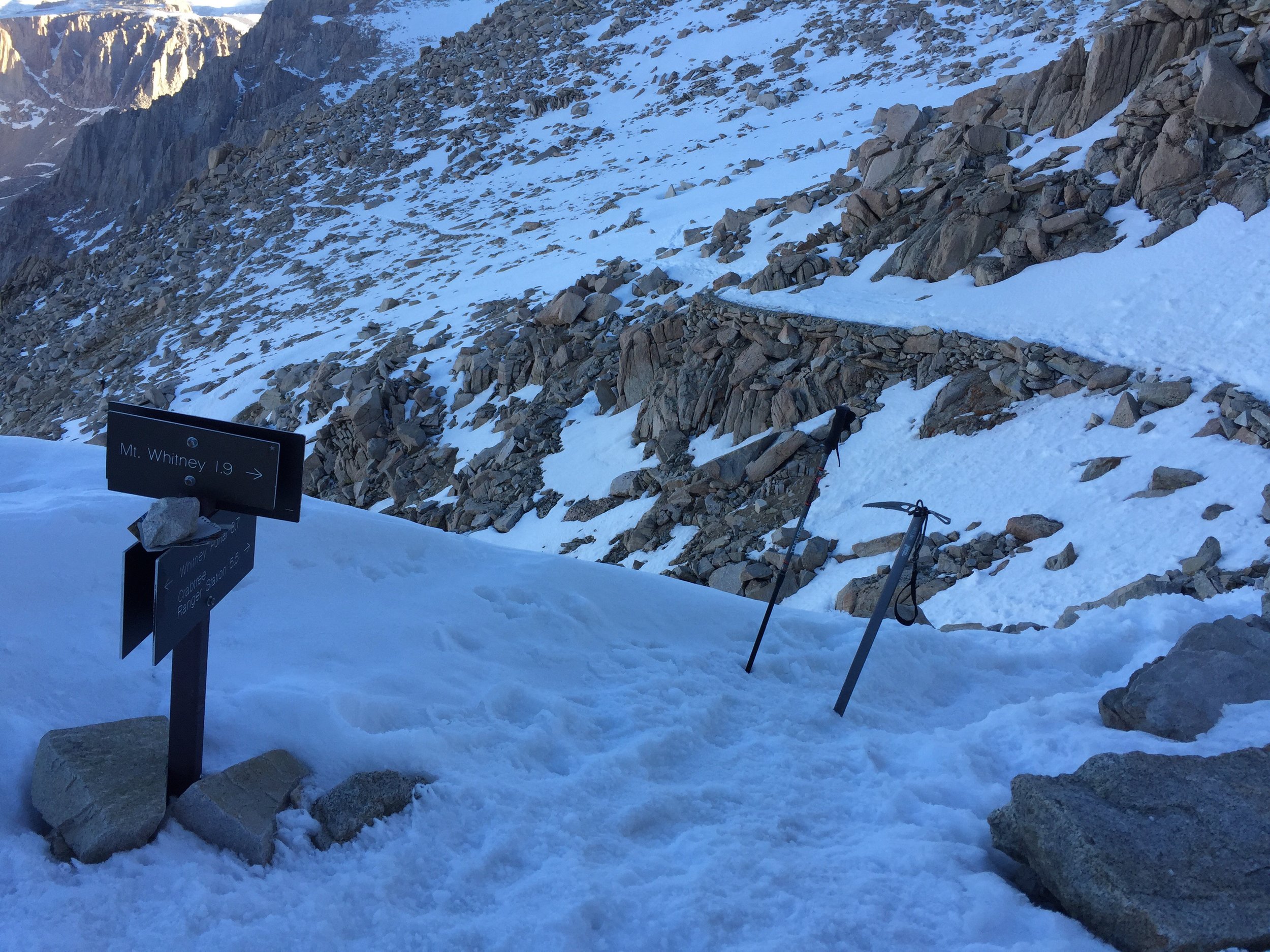
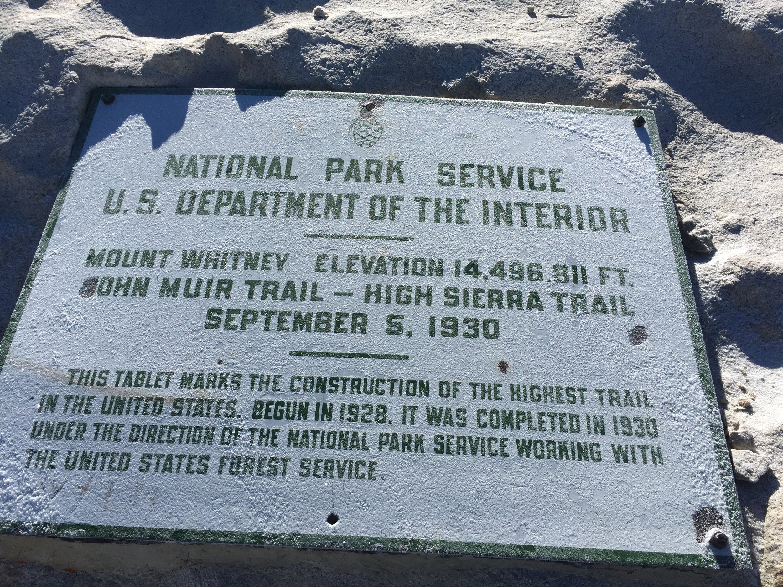
As planned, I arrived at the summit close to 8:00 am (was more like 7:45). It was a great feeling. 

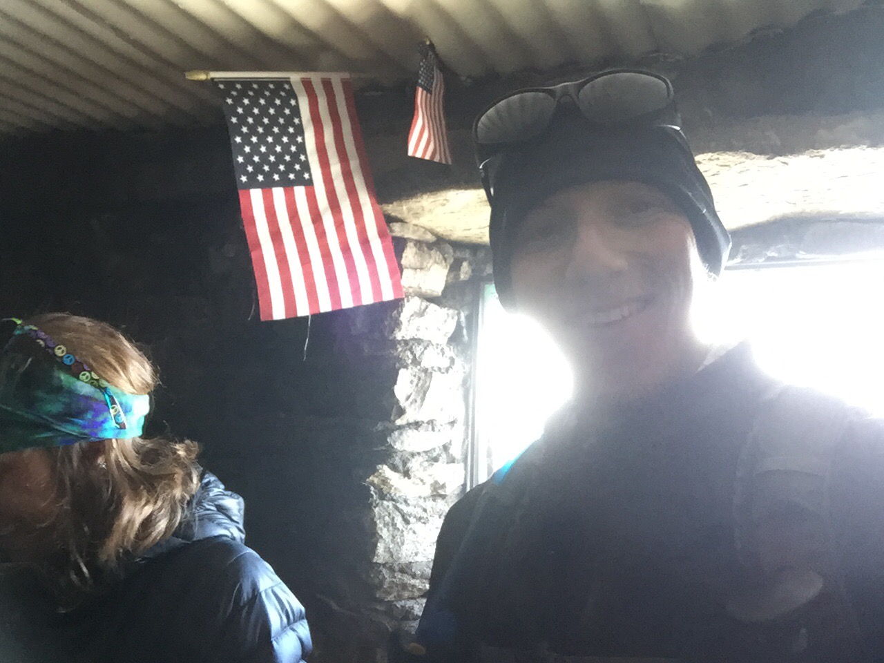
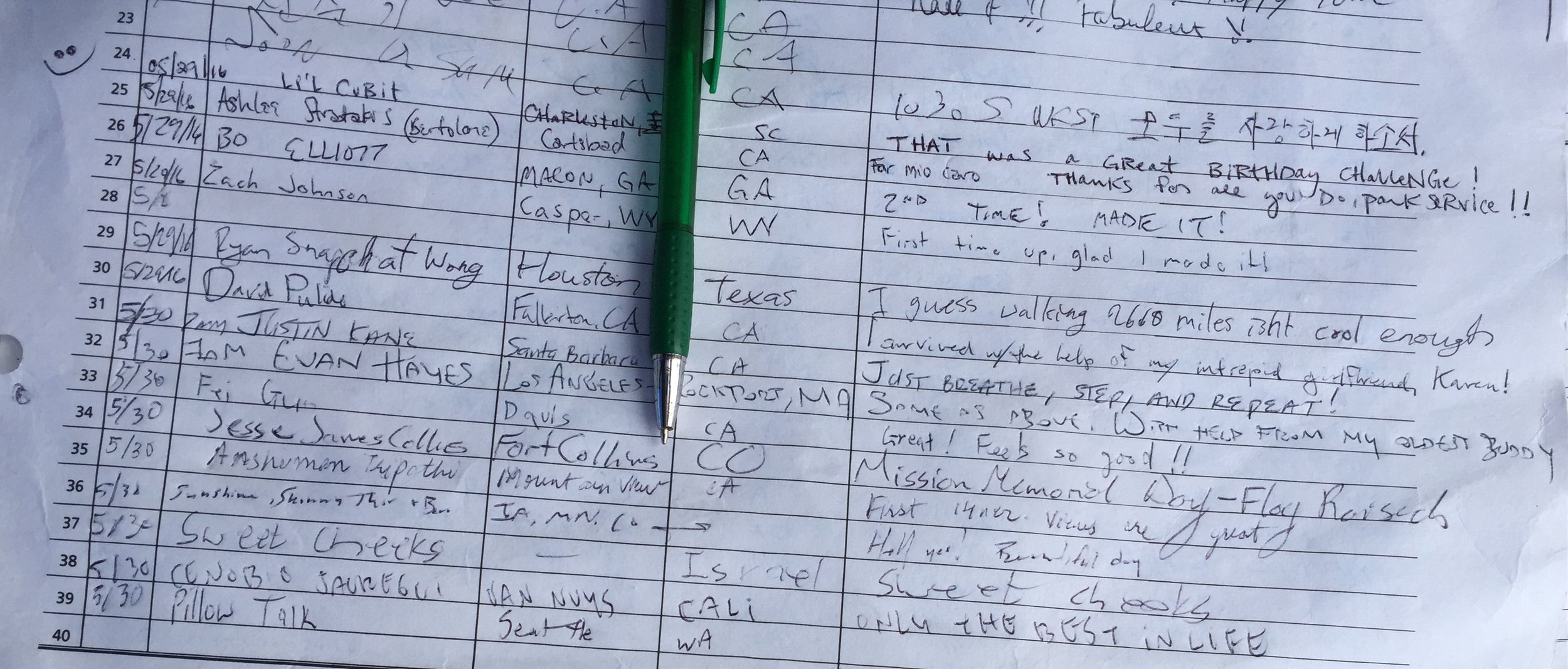
I hung out and took a bunch of pictures. Then I relaxed in the hiker hut to eat and stay out of the wind. 

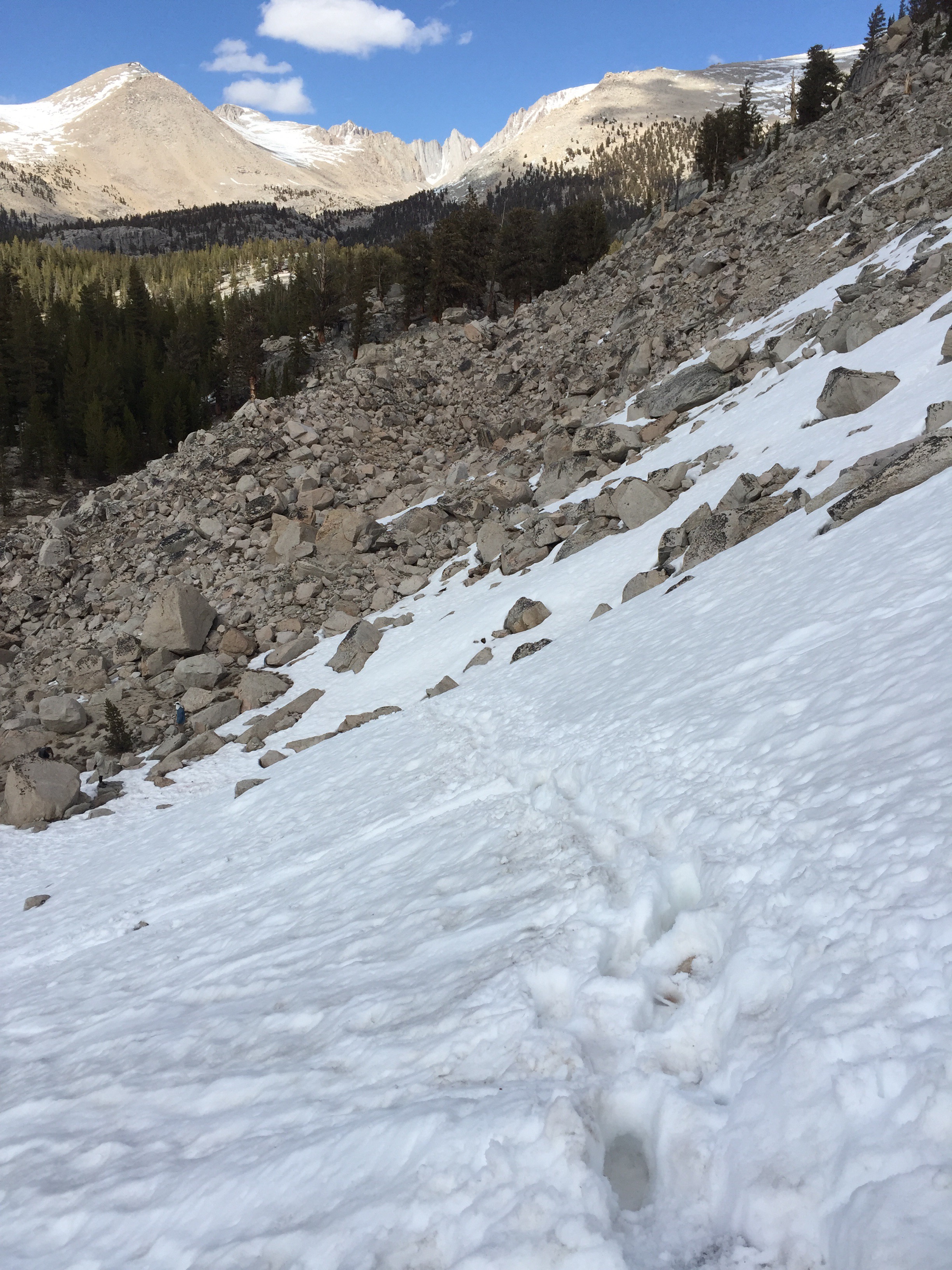
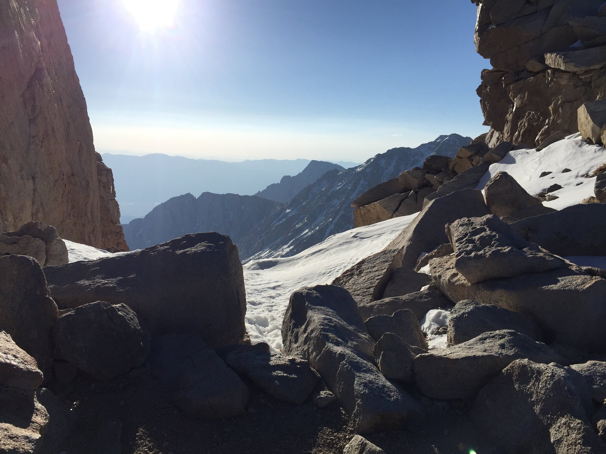
Around 8:30 I decided it was time to head back down. The challenge with going down the mountain was the sun had already been warming the snow which makes it soft with less traction (even with micro spikes). 

This becomes an exhausting process, particularly toward the end of the steep descent. When the slope started to shallow out, the hike felt a lot like walking on very loose, dry sand. 

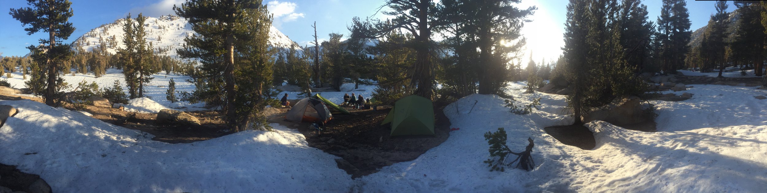
Was back at base camp around 12:30 and I promptly at some lunch and went back to bed.  
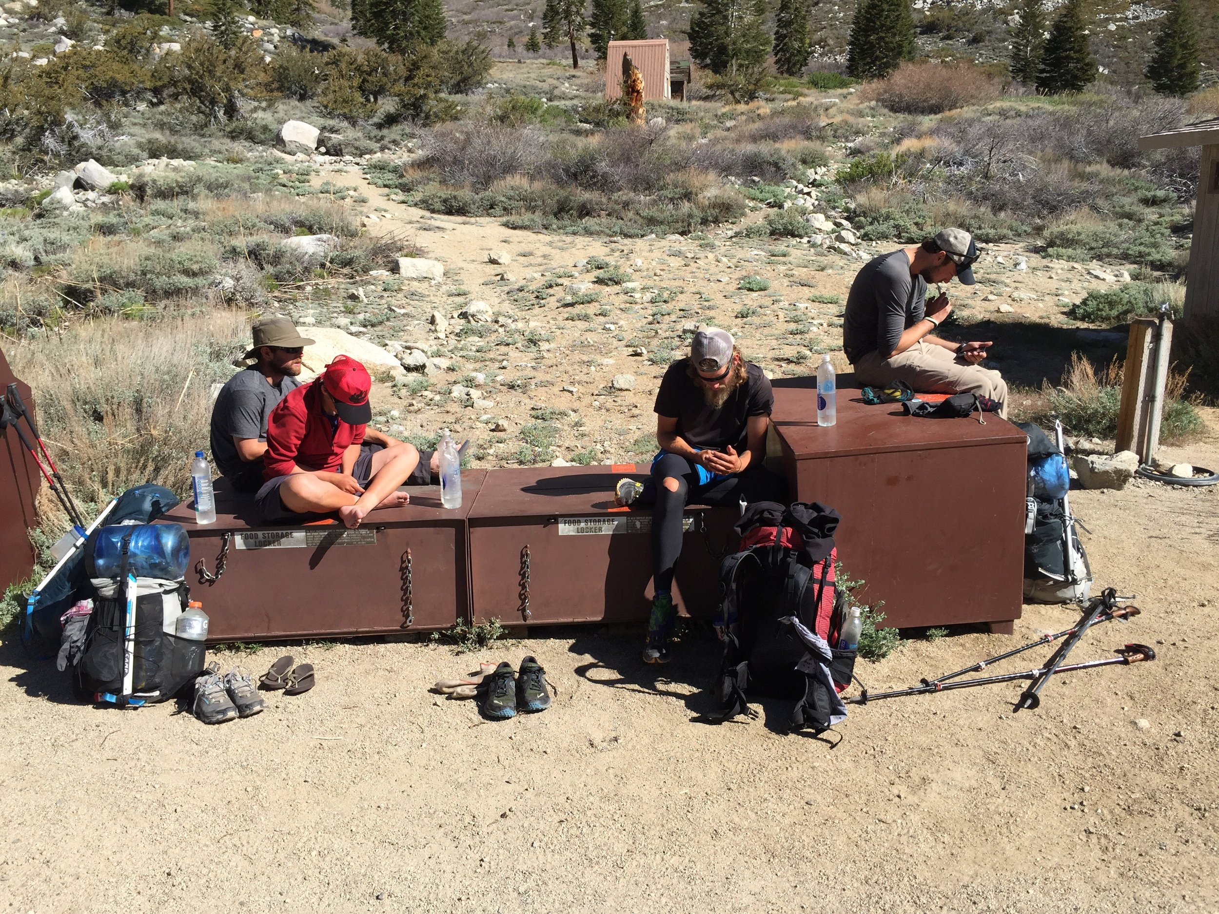
The rest of the group trickled in throughout the next 1.5 hours. Each with the same agenda... Eat and sleep. 

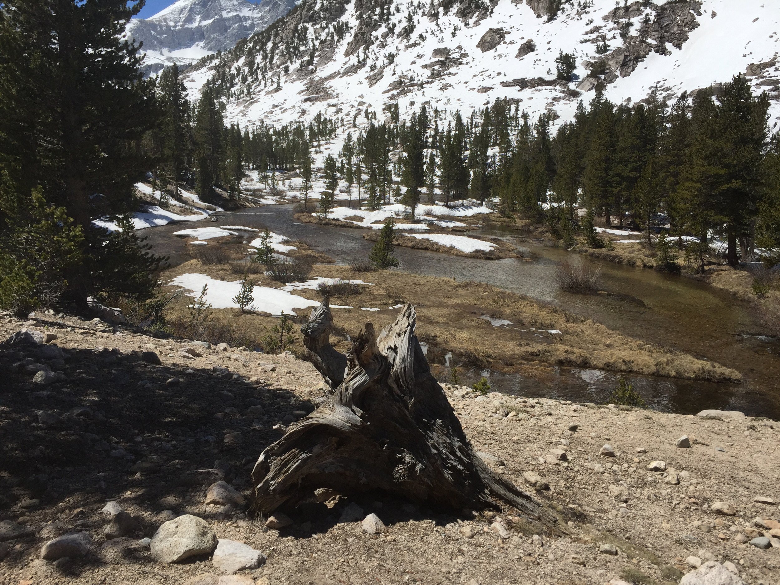
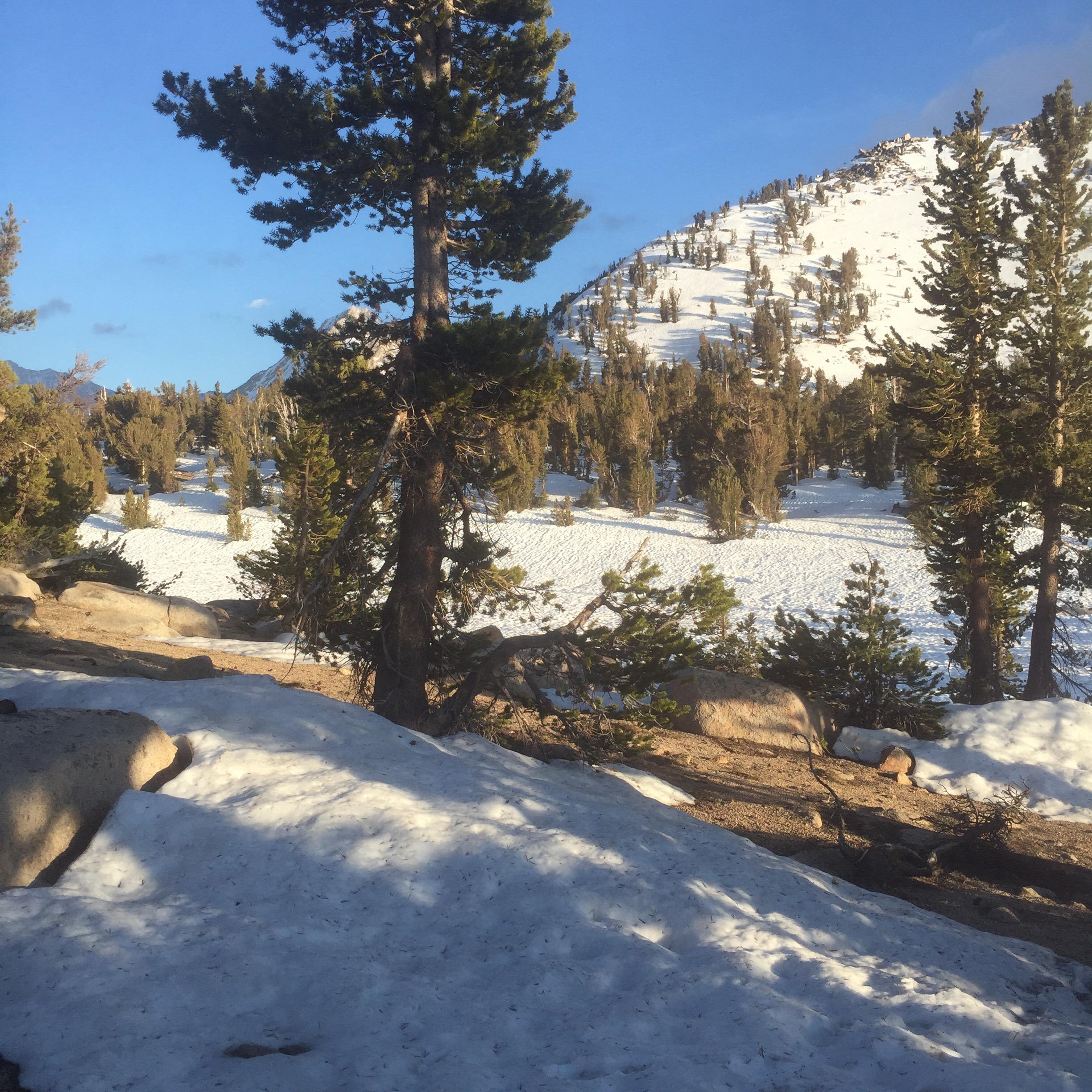
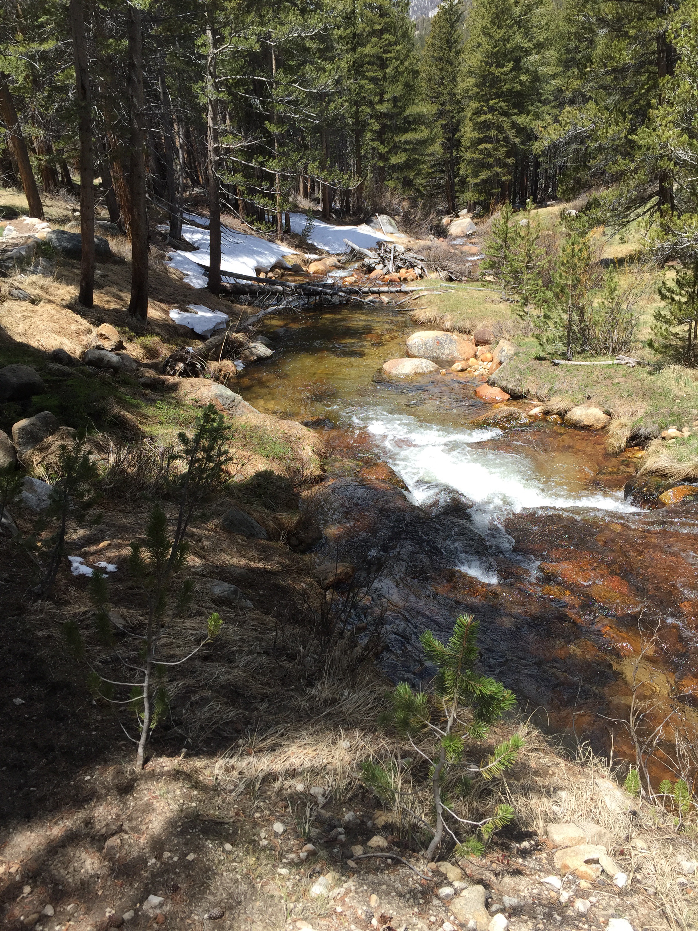
Around 3:00 we all started to pack up and look to make it 8 more miles to Tyndall Creek. Zinger (Nat) and I walked the first 3-4 miles before catching up to the group at a river crossing. It was the first that we all had to think about.  

Before going through, we searched up and down the River for rocks or logs we could use to get across without getting wet. There was none. All of our shoes were slightly wet from all of the snow walking (lots of post-holing). Because of this we all decide it would be smart to leave them on to make it easier to walk across the rocks. 

With success we cross, but feel a little chilled from the icy water. The best way to remedy for this is to walk... Fast. We came to one or two more crossings like this which left us all mentally tired and ready to be at camp. But we still had 3ish miles to get to Tyndall Creek.  After the last climb of the day, we hiked on a alpine meadow saw a small storm building and the sun go down. All we could do we could do is keep walking. 

Arriving at Tyndall Creek just before we needed headlamps, I pushed to have us cross today rather than tomorrow morning. It didn't seem much stronger than the previous ones, however it was much longer. 

On the other side, we were greater with a warm fire started by hikers a little earlier. It was quite an incredible feeling to have the warmth of a fire after such a long, but very memorable, day. 

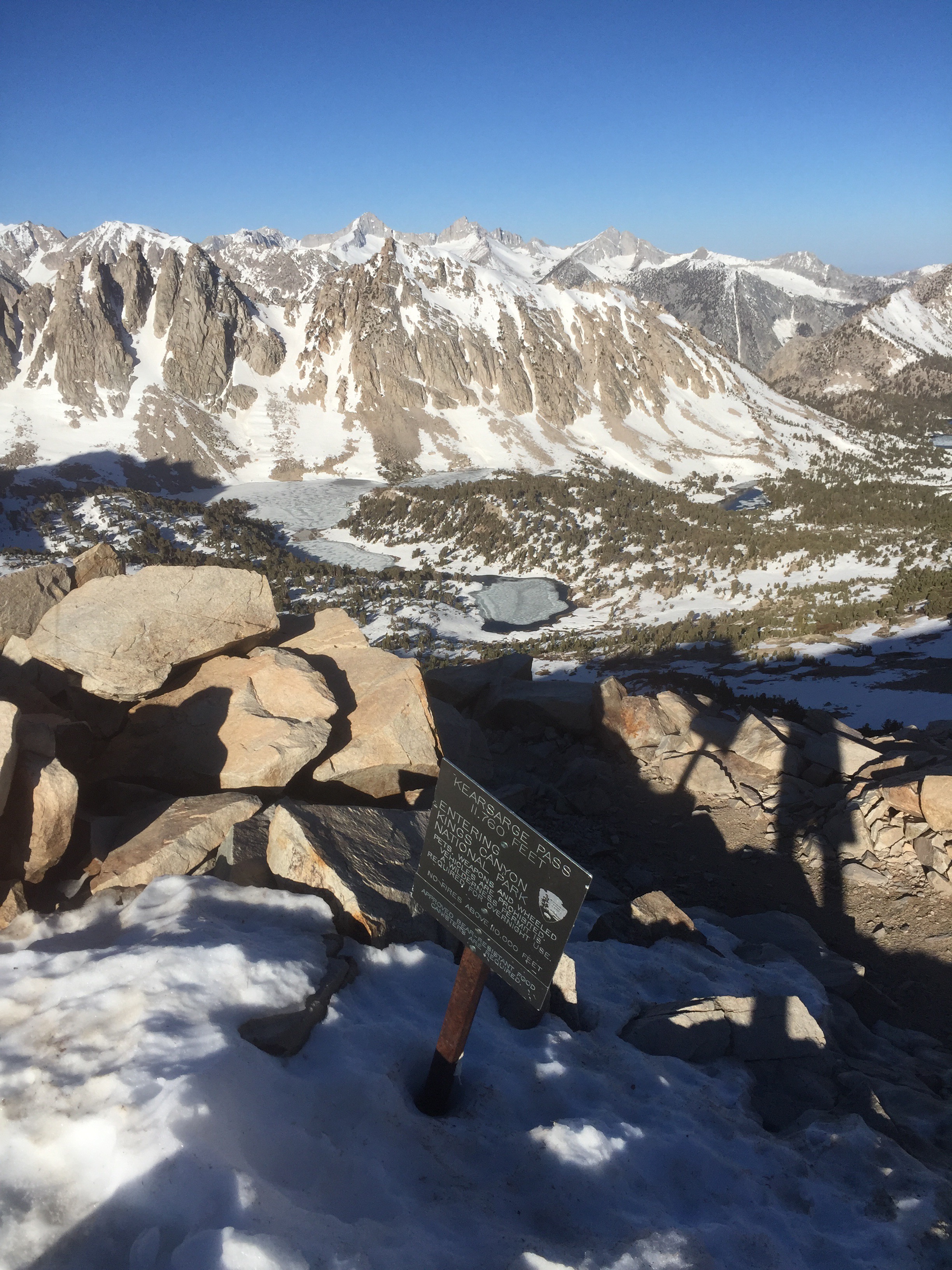
Tomorrow is Kearsarge Pass, which is the tallest on the trip 13,200' and is known to be somewhat dangerous. Luckily I get to sleep in till 4:00 am. I don't think it will be enough. 

​[wpvideo njre1Ky9]​

​ [wpvideo 8cmgdOzu]​

In Pacific Crest Trail
img_3973.jpg

Day 48 - The Sierras. 766.3 (16.6)

Kevin Silvernale June 25, 2016

Mileage Breakdown: 15.5 miles on PCT Mile 566.3 + 1.1 miles on the Whitney Spur Trail = 16.6 miles.  Woke up to an incredible sunrise. Chicken Lake has to be one of my favorite campsites. I tried to get an earlier start today so that crossing the snow isn't as exhausting. Later in the day the snows temperature rises creating a slippery and very soft surface. 

Today I entered Sequoia National Park, which marks the point were a bear can is required.  The scenery is indescribable. Left, right, front and behind of me are towering peaks. Because the first 10 miles are, more or less, flat... I am able to afford the time it takes to take a bunch of pictures and videos. 

Around 10ish miles, I encounter the first of many rivers that need to be crossed and sometimes forded. I look around to find a way to cross it without taking my shoes off. I found some very slippery and not so stable logs, but they did just fine. 

During this crossing, I discover the bottom of my shoes, when wet, has almost zero gripping power on either stone or wet log. I can't wait to have some Altra's again. 

Ate a very large lunch on the bank of the river and then up the hill I went. It was a much steeper hill than I anticipated and my food hadn't quite digested. This fact forced me to go a little slower than normal. 

Amazing scenery thru the rest of the day. Just before exiting the PCT to go up the Whitney Spur Trail, a small steep slope offered an opening in the trees to capture one of my favorite views of the trip. 

1.1 miles up the WST there is a ranger station where a lot of people already has their tents setup. I found where the group has setup and the evening chores begin. Also a lot of discussion takes place for tomorrow's Whitney Summit attempt. 

As of tonight, my game plan is to wake up around 2:00 am, to be on the trail by 3:00 am, summit by 8:00 am, then be off the mountain and back at camp by 12:00-1:00 pm. I won't be carrying all of my gear, just a few items such as food, water and clothing. In interested how my hiking pace is without a lot of weight on my back. 

In Pacific Crest Trail
← NewerOlder →