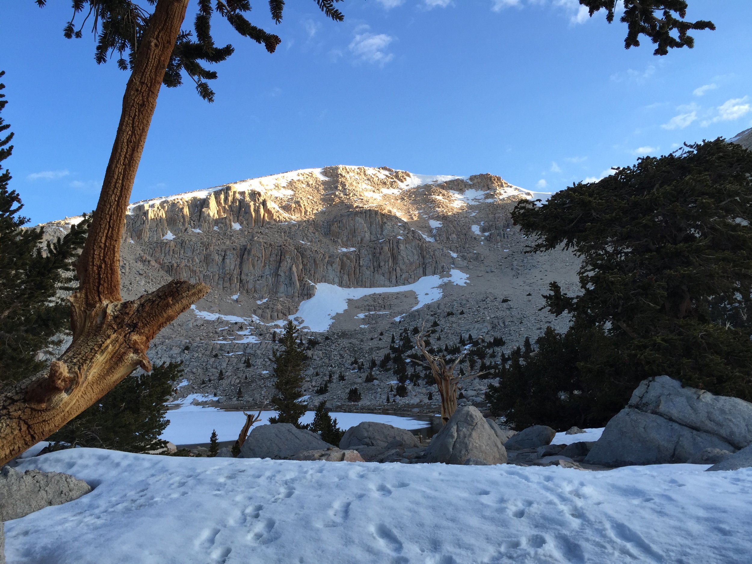
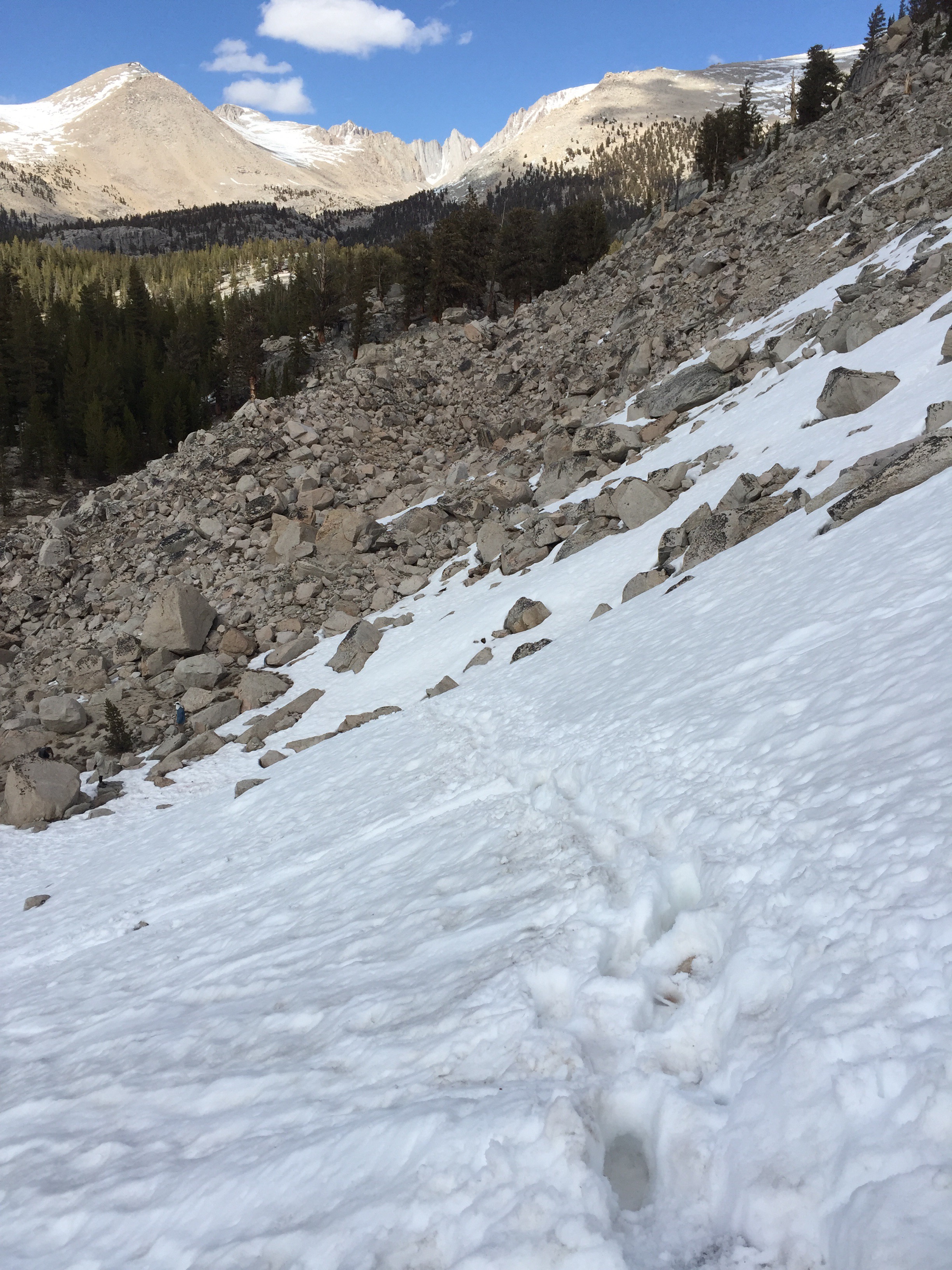
Mileage Breakdown: 15.5 miles on PCT Mile 566.3 + 1.1 miles on the Whitney Spur Trail = 16.6 miles. Woke up to an incredible sunrise. Chicken Lake has to be one of my favorite campsites. I tried to get an earlier start today so that crossing the snow isn't as exhausting. Later in the day the snows temperature rises creating a slippery and very soft surface.
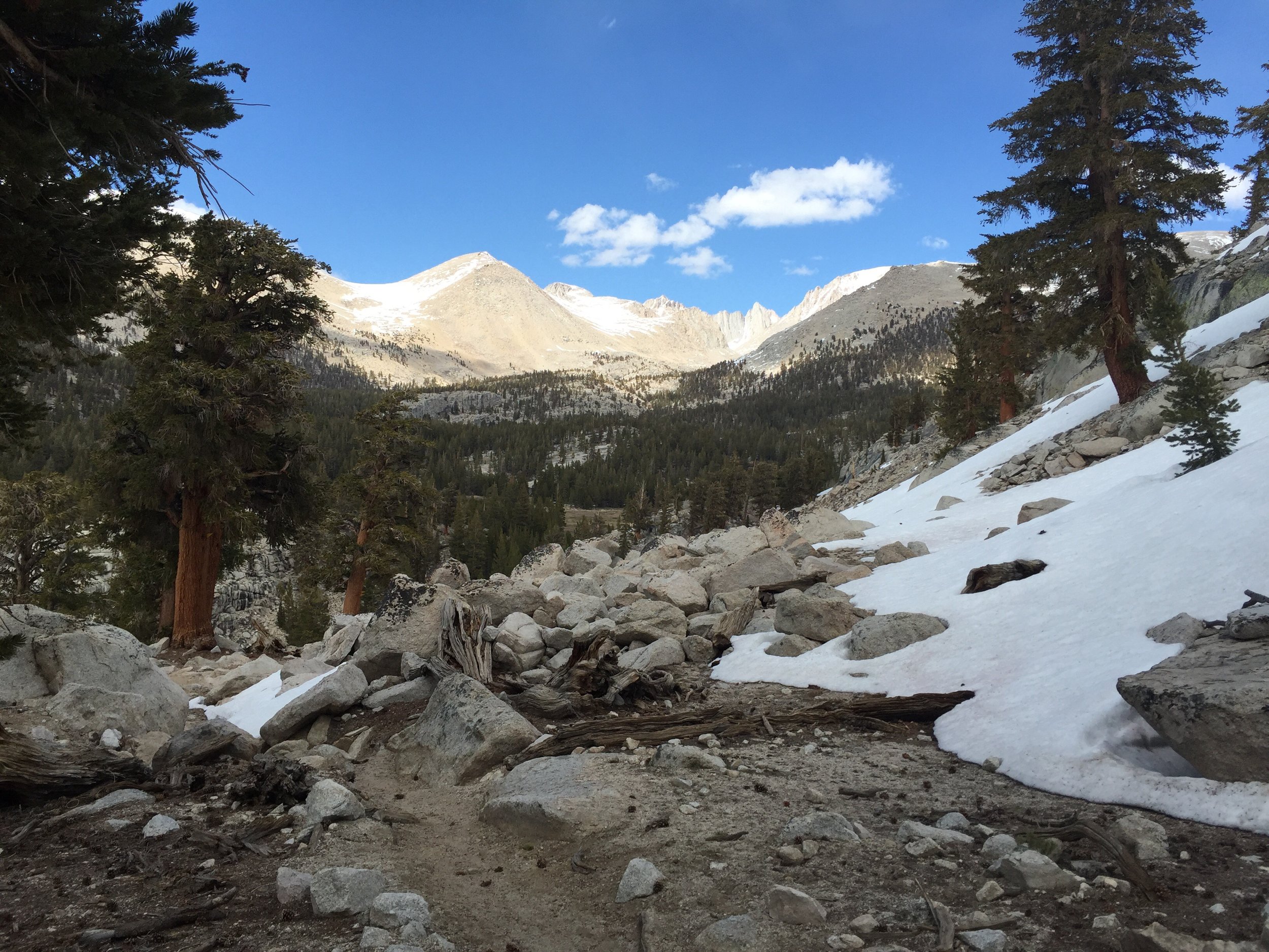
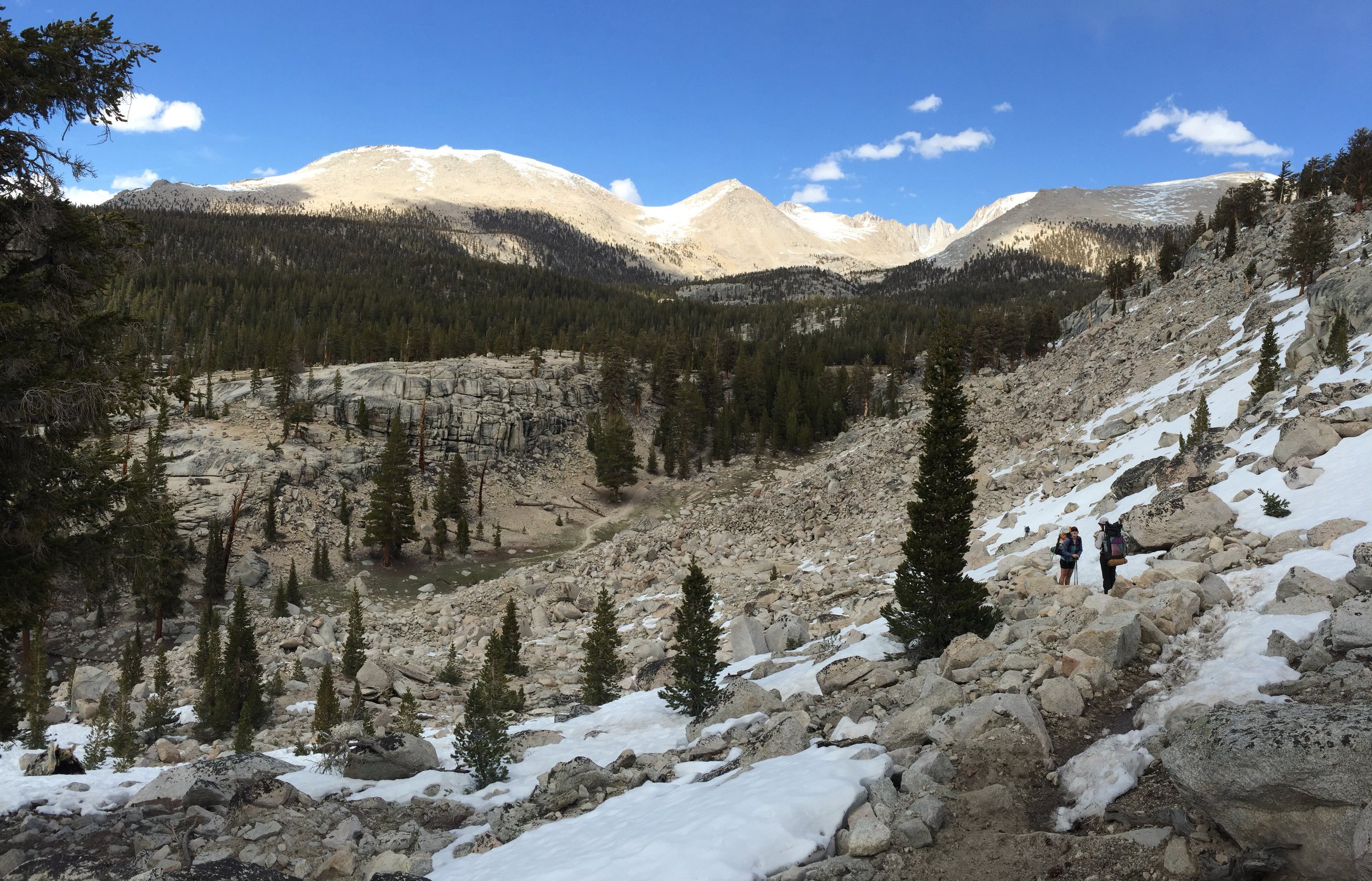
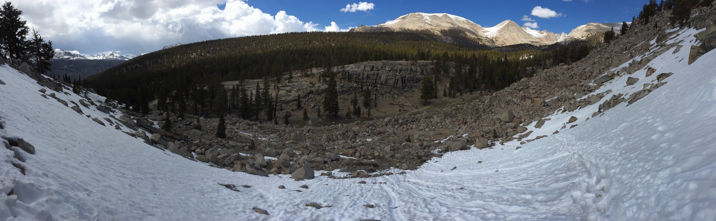
Today I entered Sequoia National Park, which marks the point were a bear can is required. The scenery is indescribable. Left, right, front and behind of me are towering peaks. Because the first 10 miles are, more or less, flat... I am able to afford the time it takes to take a bunch of pictures and videos.
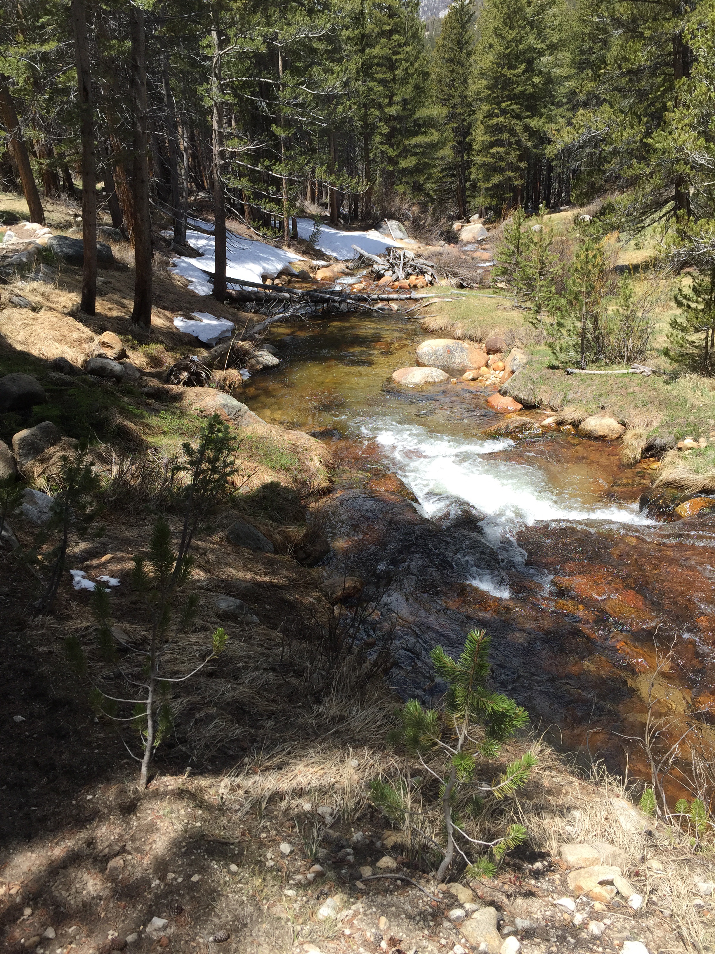
Around 10ish miles, I encounter the first of many rivers that need to be crossed and sometimes forded. I look around to find a way to cross it without taking my shoes off. I found some very slippery and not so stable logs, but they did just fine.
During this crossing, I discover the bottom of my shoes, when wet, has almost zero gripping power on either stone or wet log. I can't wait to have some Altra's again.
Ate a very large lunch on the bank of the river and then up the hill I went. It was a much steeper hill than I anticipated and my food hadn't quite digested. This fact forced me to go a little slower than normal.
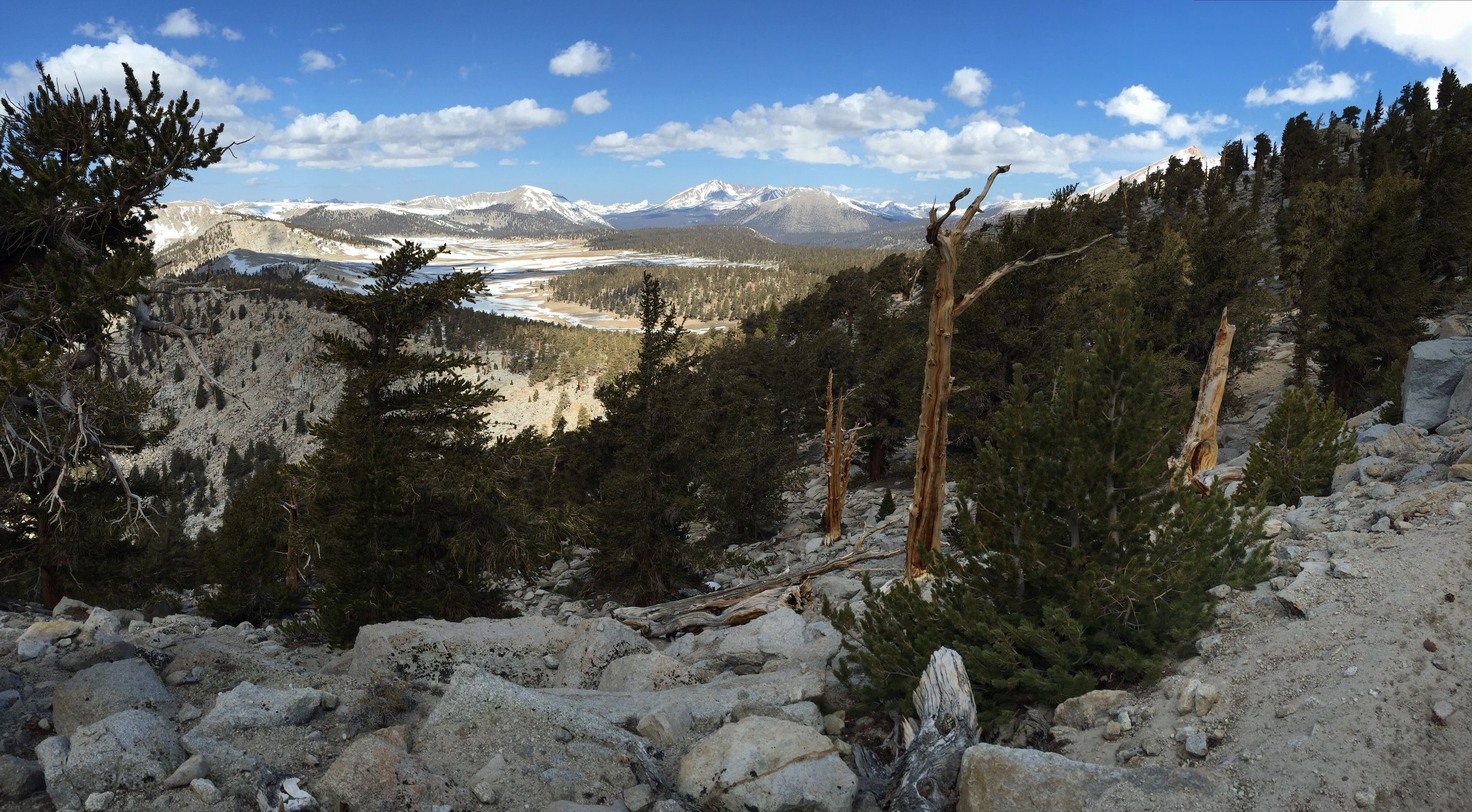
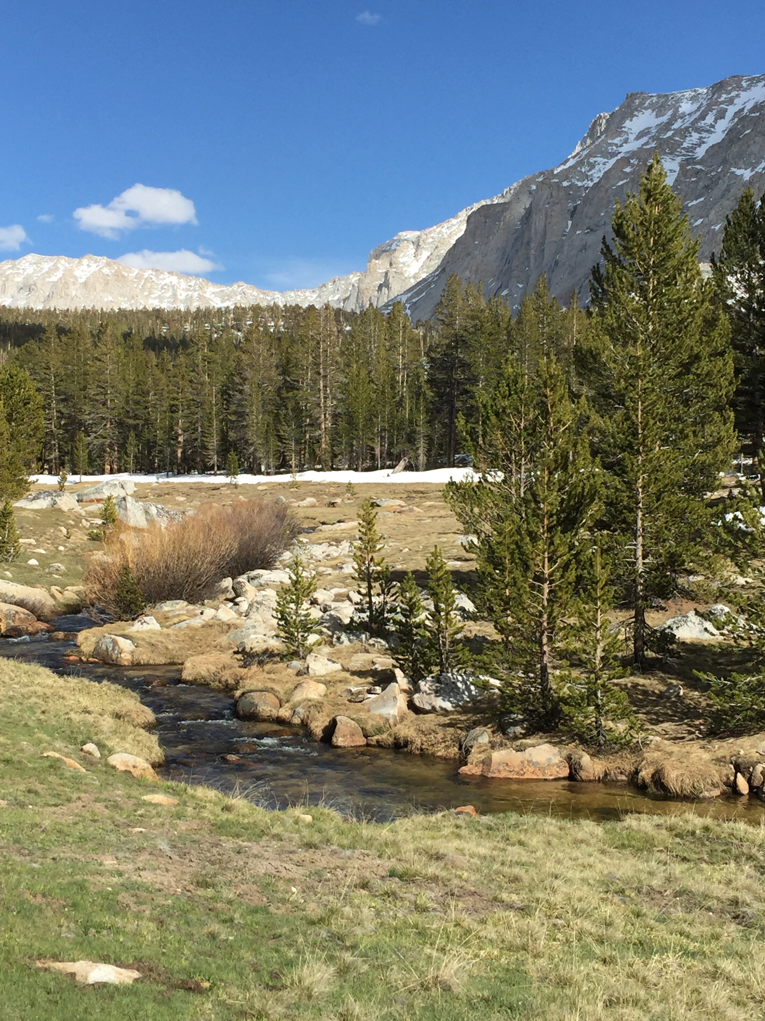
Amazing scenery thru the rest of the day. Just before exiting the PCT to go up the Whitney Spur Trail, a small steep slope offered an opening in the trees to capture one of my favorite views of the trip.
1.1 miles up the WST there is a ranger station where a lot of people already has their tents setup. I found where the group has setup and the evening chores begin. Also a lot of discussion takes place for tomorrow's Whitney Summit attempt.
As of tonight, my game plan is to wake up around 2:00 am, to be on the trail by 3:00 am, summit by 8:00 am, then be off the mountain and back at camp by 12:00-1:00 pm. I won't be carrying all of my gear, just a few items such as food, water and clothing. In interested how my hiking pace is without a lot of weight on my back.