Due to poor cell/data service I will not be posting day 22 until Sunday. In the meantime here is a photo from a few days ago. It literally took 20 minutes to upload.
Day 21 - 9 Thru 12 By, 9 Thru 12. 368.4 (21.9)
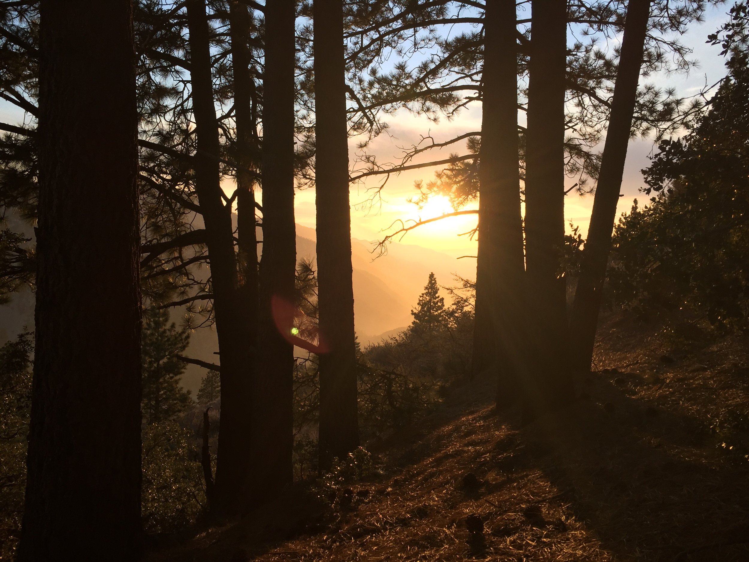
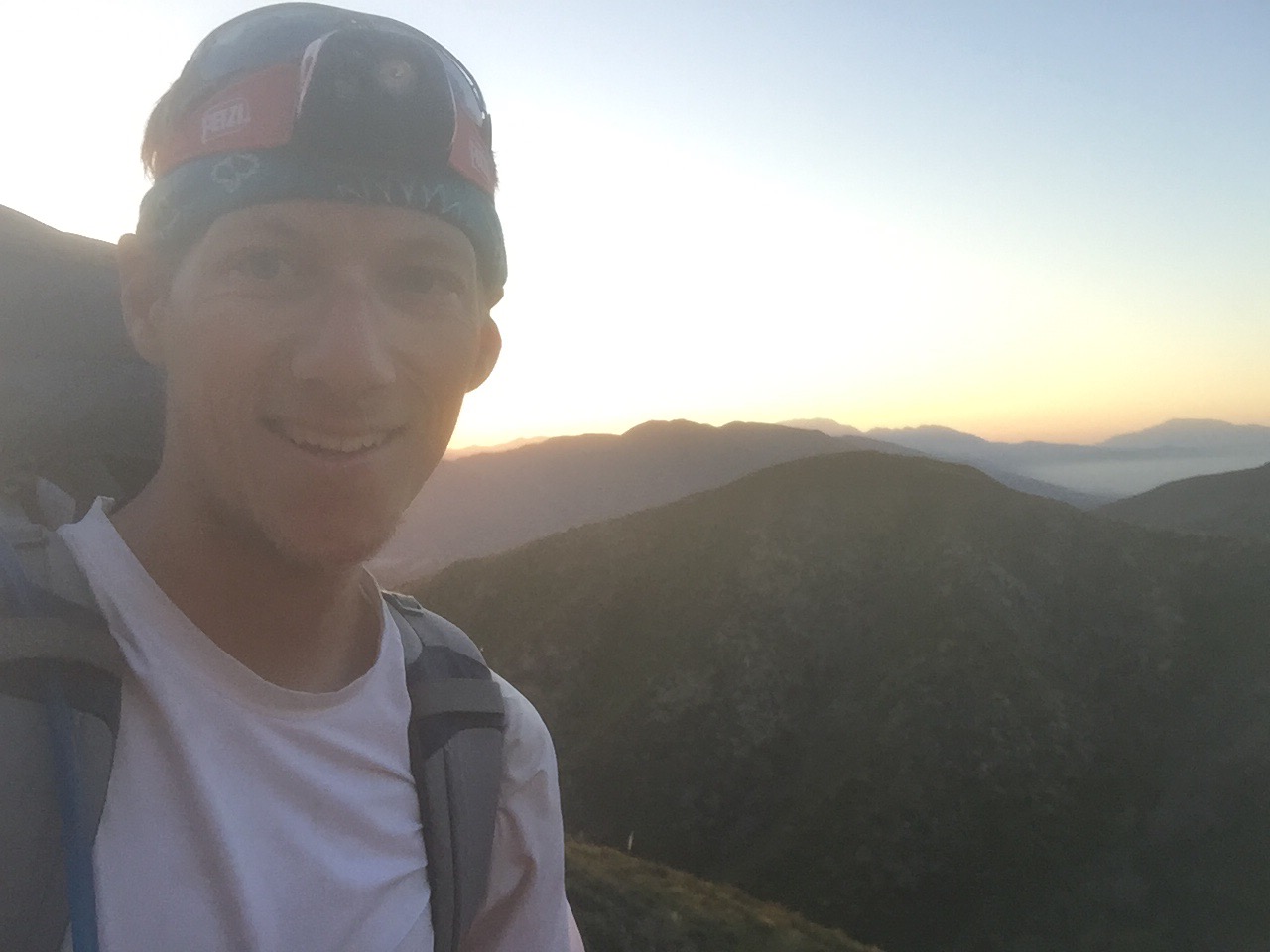
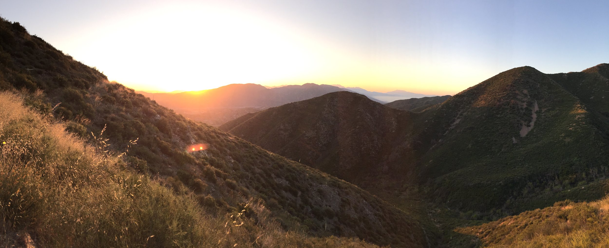
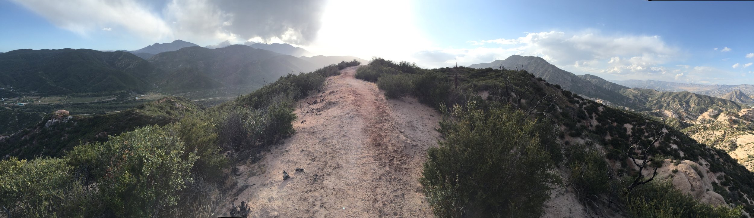
My alarm went off at 4:15am and I was all packed up and out of camp by 5:15! Immediately I was in a rhythm. My goal was simple. Hike at least 10 miles by 10am. I did one better. 9 miles by 9am. I even had 15 minutes to spare and I took a bunch of photos of the sunrise. By doing 9x9... It makes it easy to hit all the others. 10x10, 11x11, and 12x12. I think in the desert when it is flat I will by 8x8.
Today was all uphill with a short and steep downhill to highway 2 (which leads into Wrightwood). To be exact, elevation gain was 7200 feet and loss was 3500 feet.


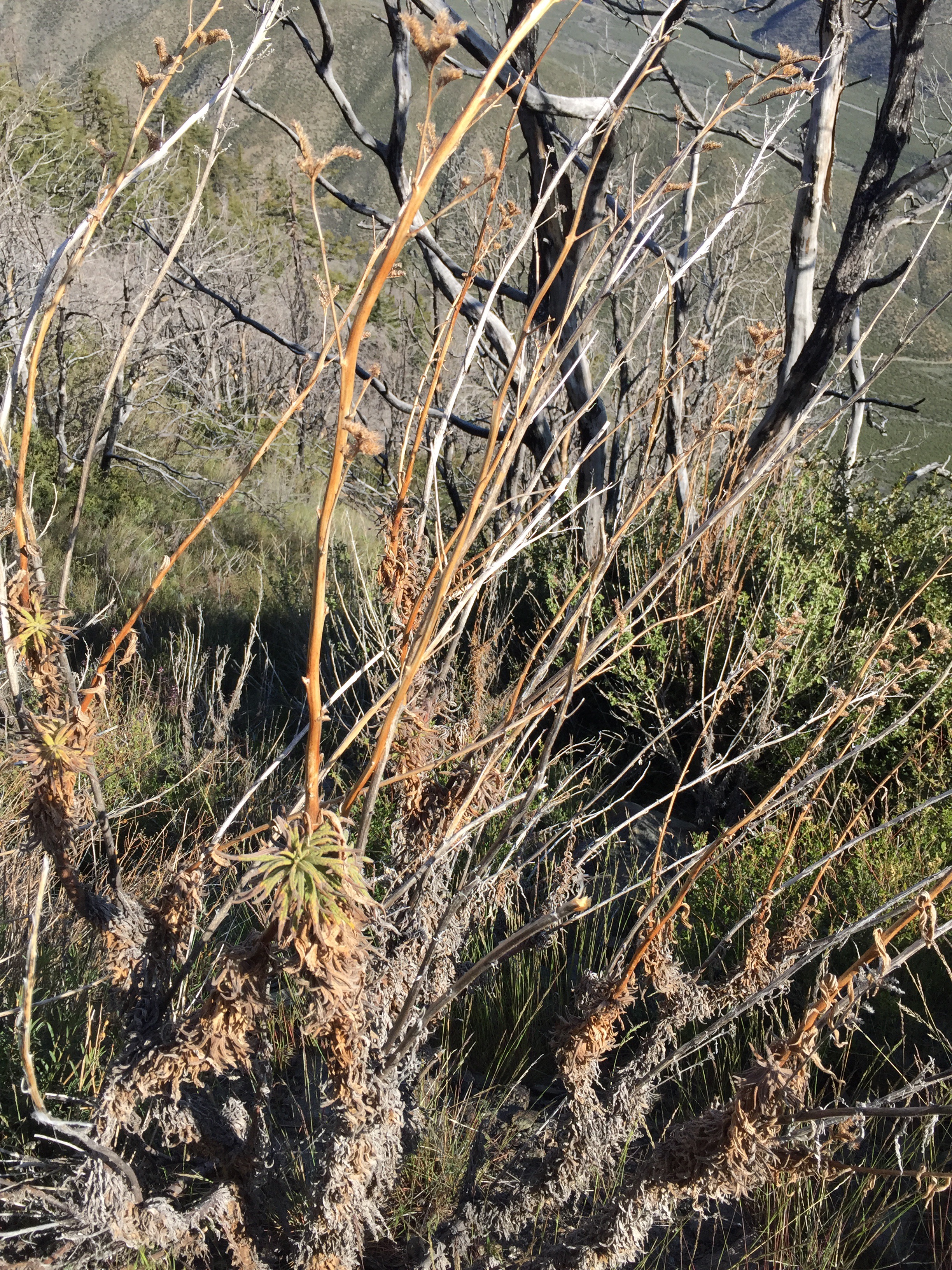
It was filled with really cool views as well as my first view of Poodle Dog Bush. P.D.B is a plant that has an oil which is similar to Poison Oak, but only grows in areas that recently (last 20 years) had a fire. However it's description says that the effects last longer and the irritation is more intense. I made sure to keep my distance. There is more of this plant ahead, especially in the early 400's (miles).


After mile 10 (around 9am), I stopped and ate breakfast. I figured I had an hour or so before I needed to hit the trail again for the 11 and 12 marks. Around 9:30 Riley, Alyssa, Viet and ST (Skinny Thor) met up at the breakfast spot and then we all hit the trail together. Riley, ST and I bolted ahead (I lead the group as I will still feeling really good). Soon Riley dropped back to walk with Alyssa (they're engaged) and ST and I continued our fast pace. Near the top of the climb, about 8000' above sea level, the storm clouds (which had been building all day) dropped hail on us which passed after an hour or so.


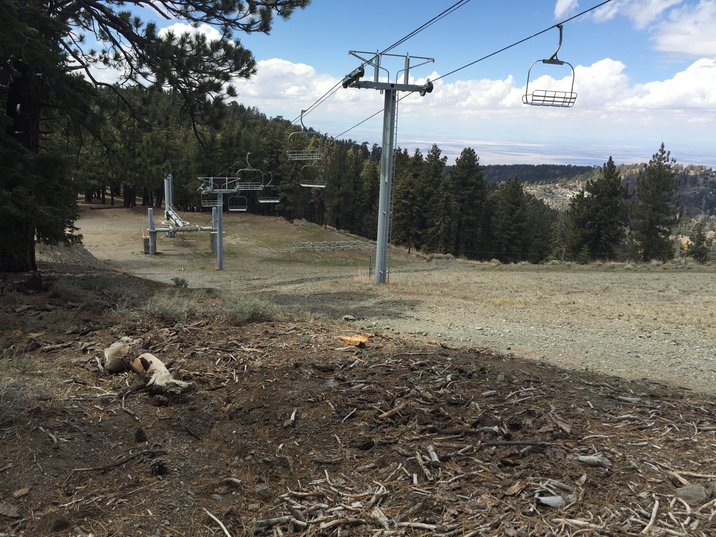
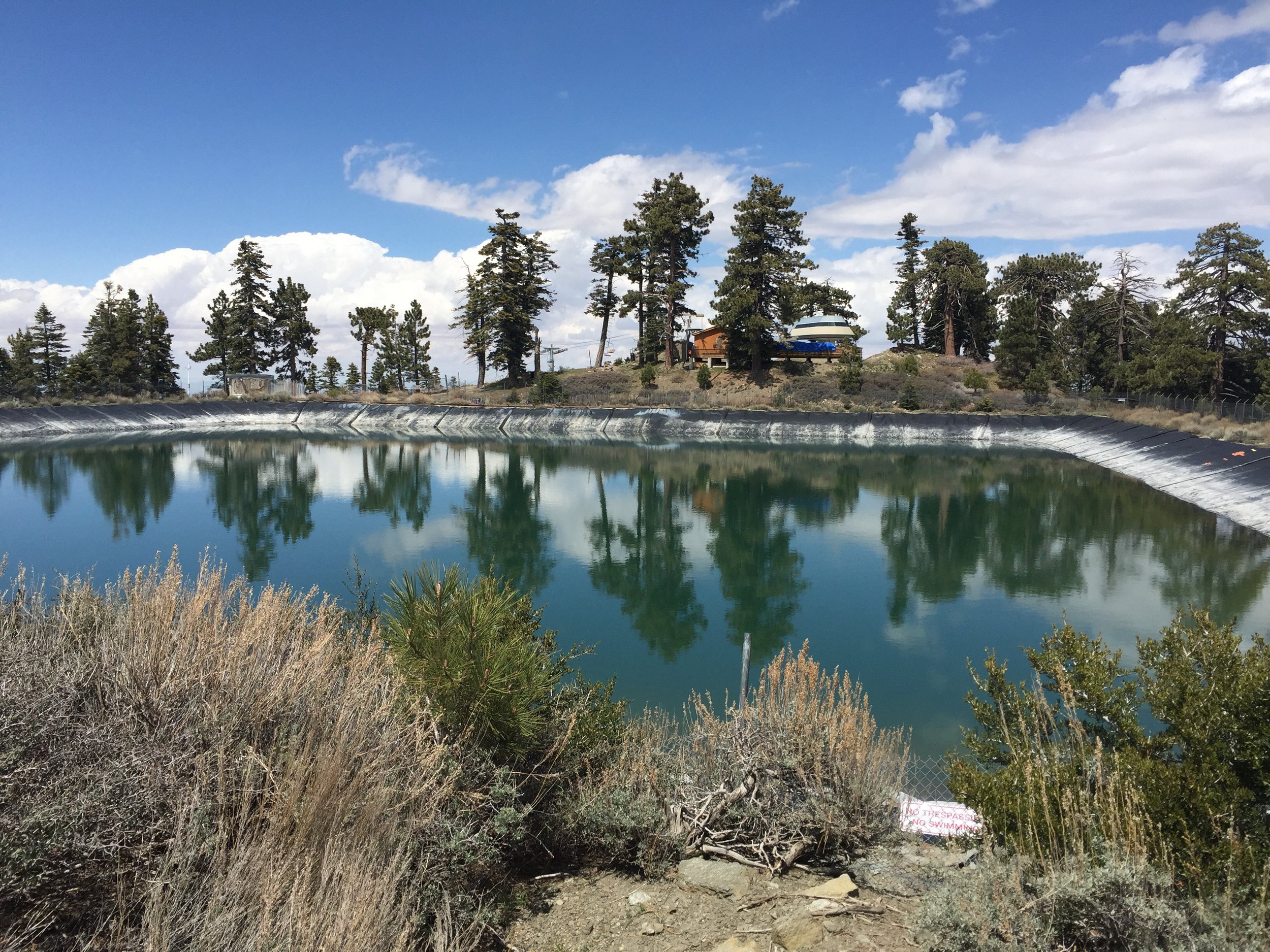
It was cooler up top, but the wind stayed calm. There was a lot of the same views and terrain. As we approached highway 2, the PCT wonders onto a ski slope and travels around all the chair lifts. There were also large ponds (man made) which are used to make snow.
 Finally, we reach highway 2 and there wasn't a car in sight. This was my first real hitch (all the other times a ride was offered). For the first 10 minutes we only saw a couple motorcycles. Then there was a guy that pulled over and said he was heading away from town, but he had beer. He pulled out a cooler and gave each of us a can.
About 20 minutes later, a pickup truck pulled over for us and we all hop in. He was a firefighter for CalFire. He and his son were on their way back from a day hike.


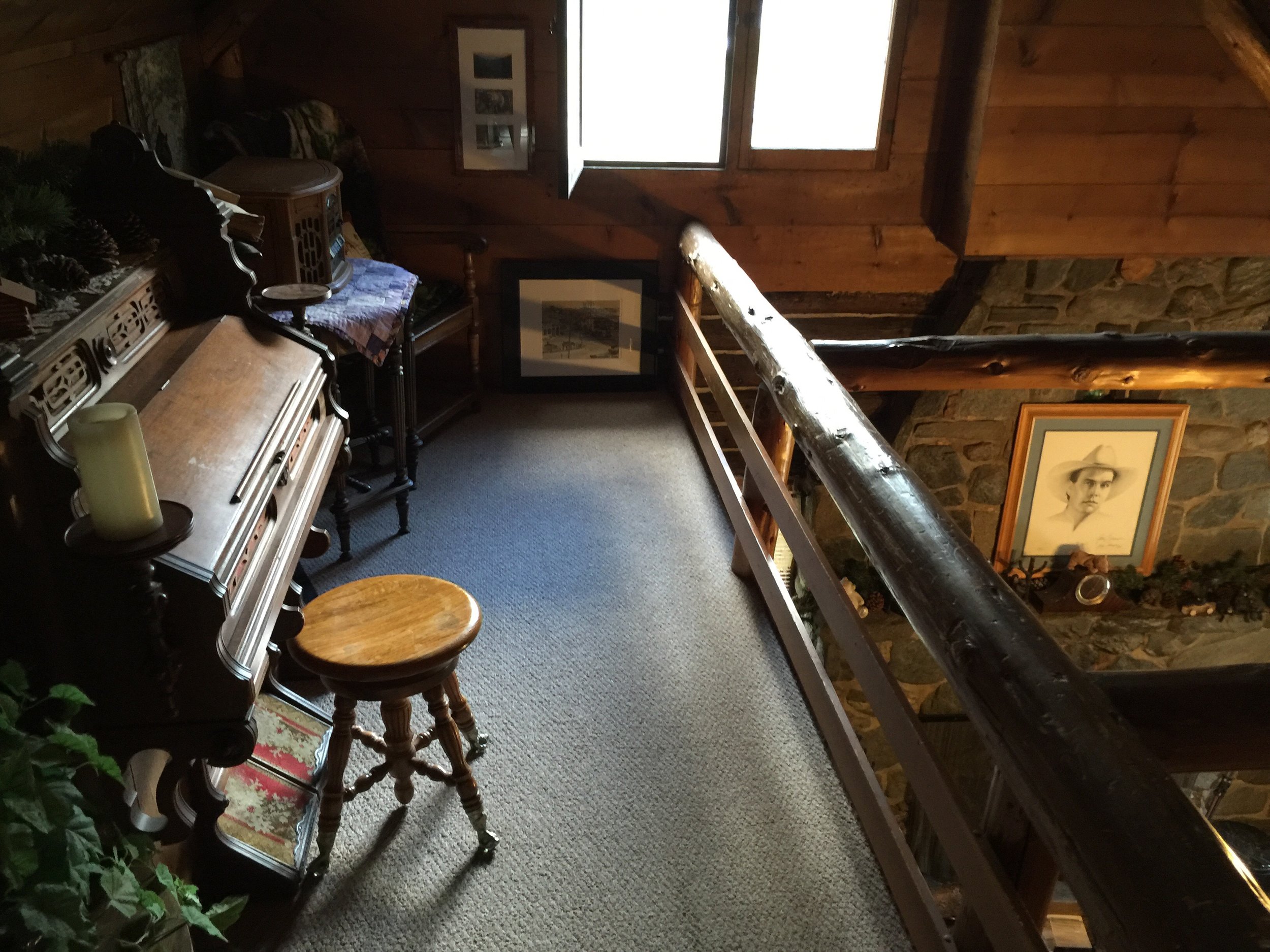
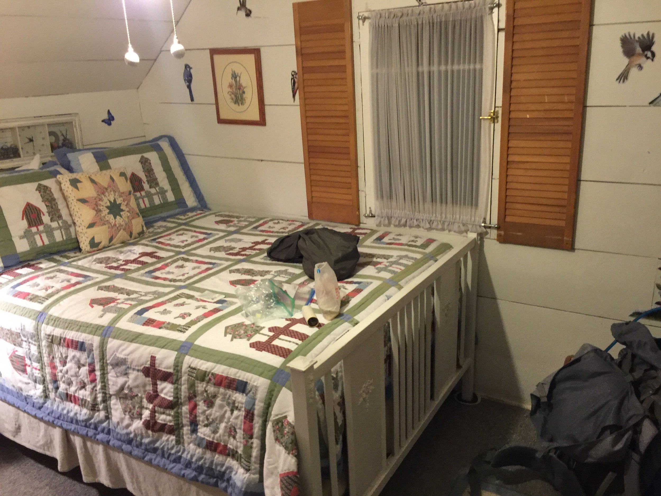
He drops us off at Mountain Hardware (where my resupply box was shipped to) and then ST and I find our way to the lodge Riley booked for us tonight.
It is one of the coolest places I've stayed so far this hike. My mom and dad would love it.
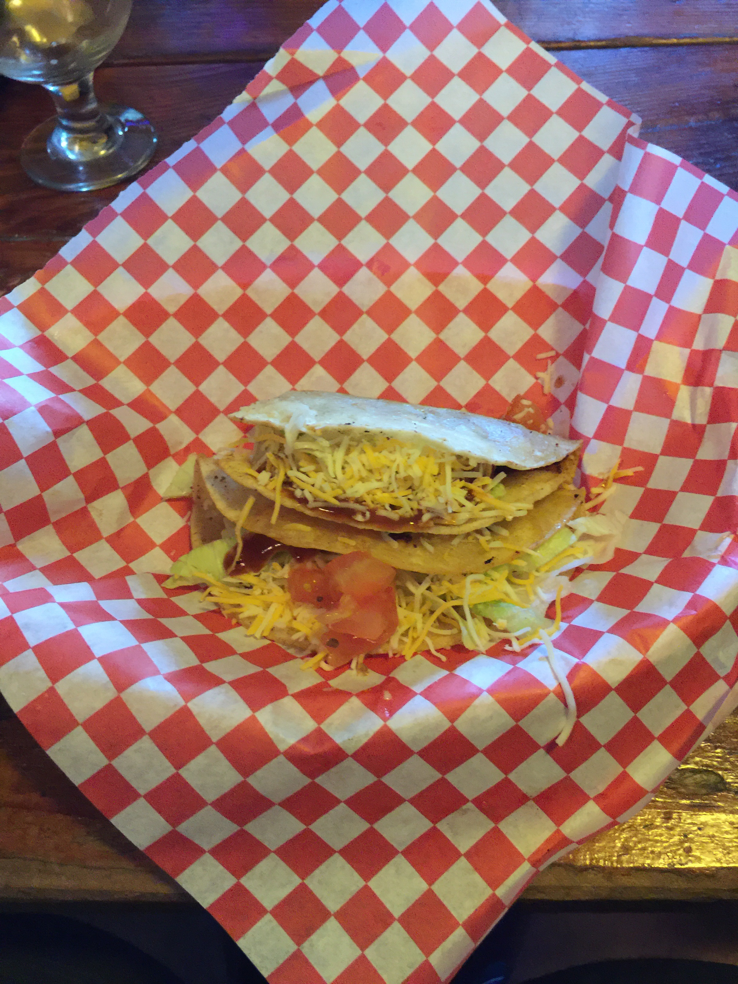
All of us get cleaned up and then head out for tacos. Evidently we timed it just right for $1.50 tacos at a local bar.
Afterward, we stop in at the grocery store for a few more snacks the hangs for the rest of the evening at the lodge. It was a late night! We all went to bed between 9:30 and 10pm.


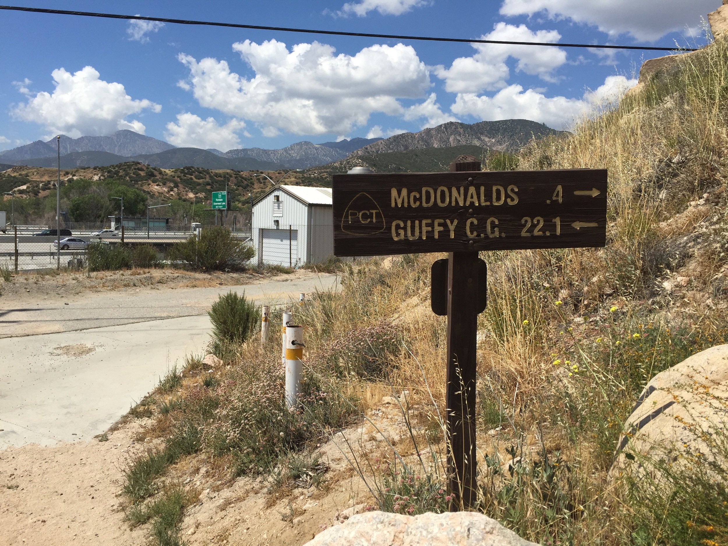
Day 20 - Poison Oak and McDonald's. 347.5 (15.6)
Only needing 10 miles to McDonald's today which gave me a nice boost of motivation when cleaning up camp. It was a beautiful sunrise from on top of the hill I climbed yesterday evening. 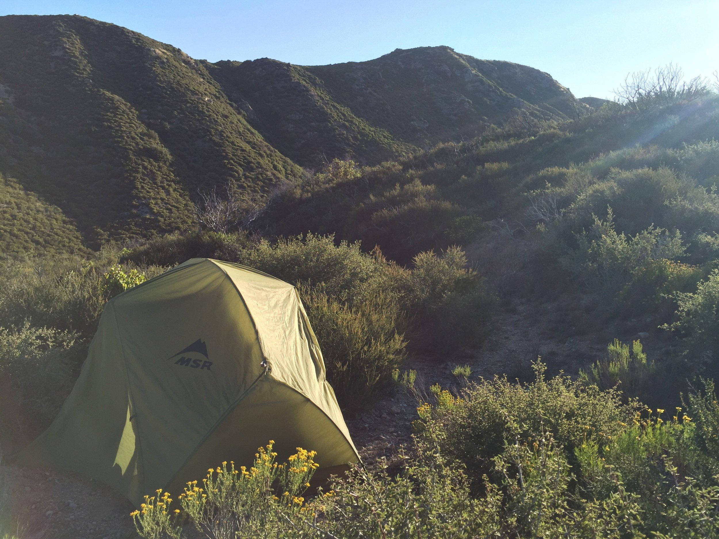
 My legs were TIRED! The muscles still hadn't recovered/relaxed from walking nearly 22 miles.


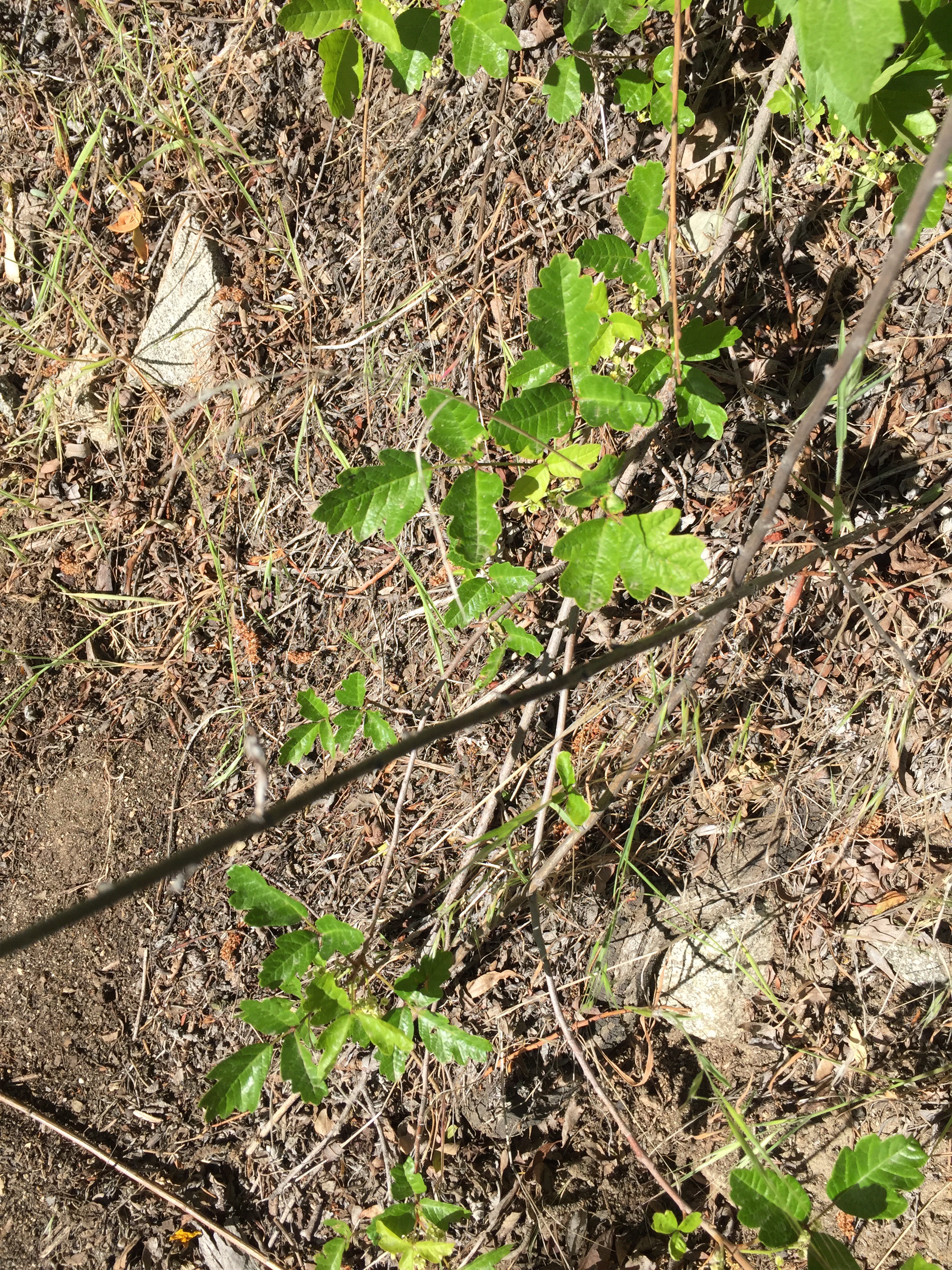
 I had the fortune to learn about Poison Oak today before it was a real issue. Once I learned what it looked like as well as the pneumonic "leaves of three, leave it be", I started to see it everywhere. In some spots, had I not known what to look for, I would have actually hit a lot of it with my bare legs.
 The last stretch before Micky D's was very enjoyable. There was a small creek flowing through the canyon. I would have stopped to take a mid day break had it not been 0.5 miles before McDonald's.


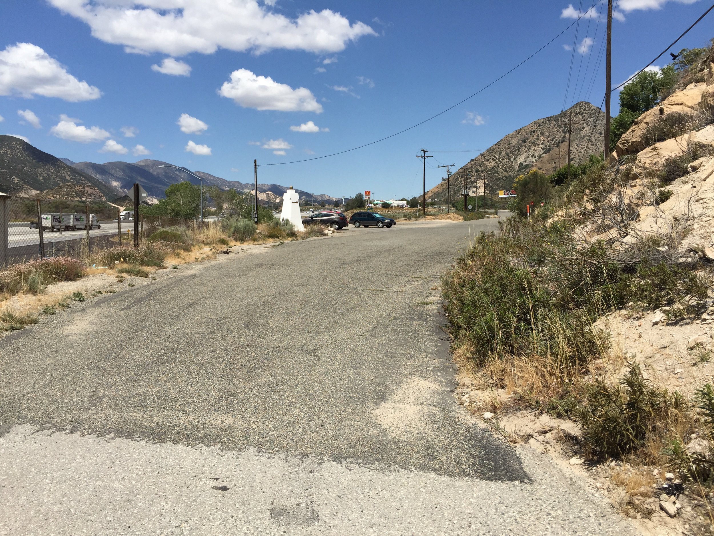 I started with a salad, two chicken sandwiches and an Oreo McFlurry. It was the perfect first lunch. As more and more hikers trickled in, the entry area was completely taken over by hikers. Some with their shoes on... Others with them off. It was a fun place to hang till 4ish. My second lunch consisted of an iced coffee, a second salad and a chocolate milkshake. Once again, I'm not every good st taking pictures of all these things.

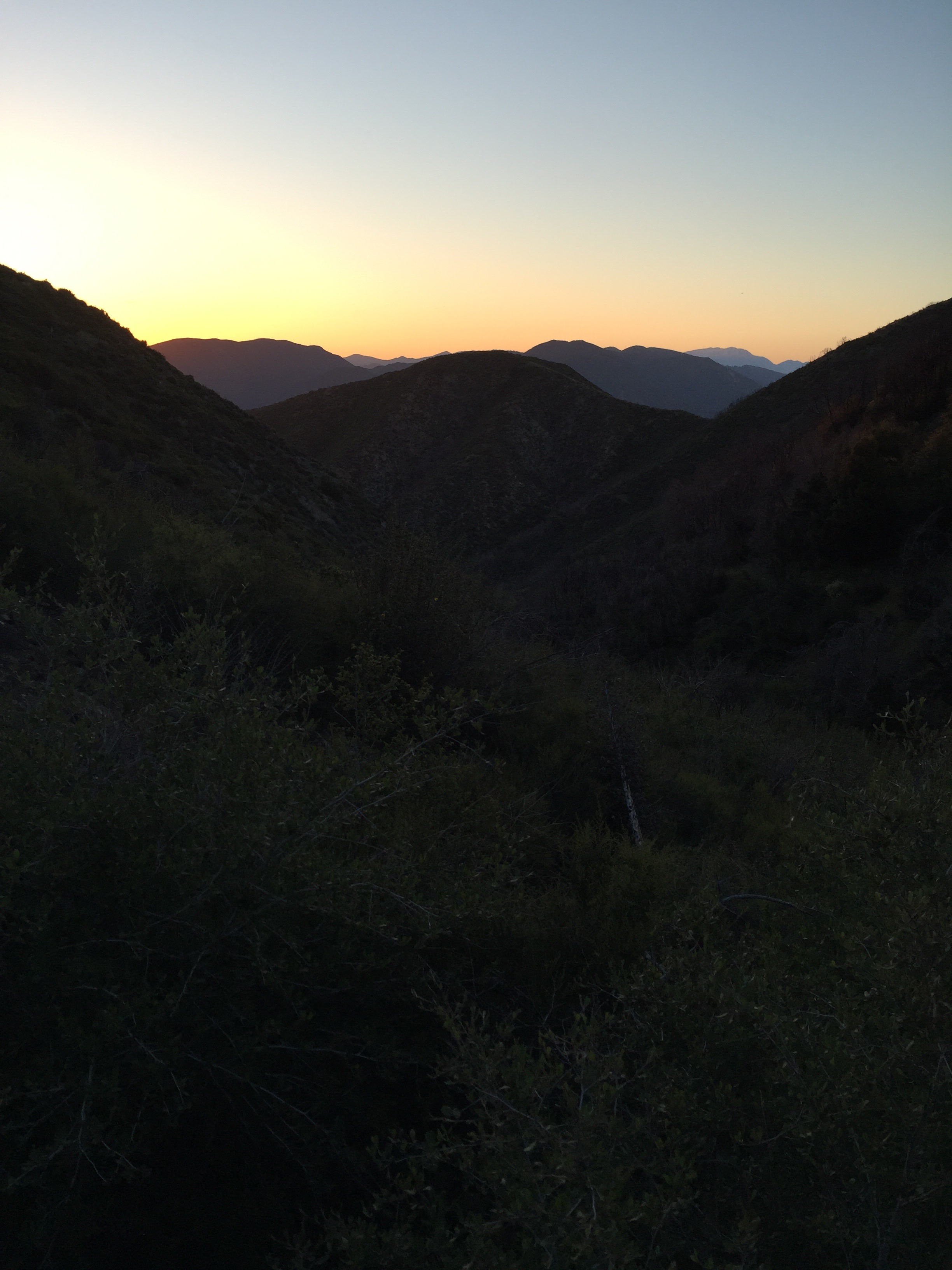
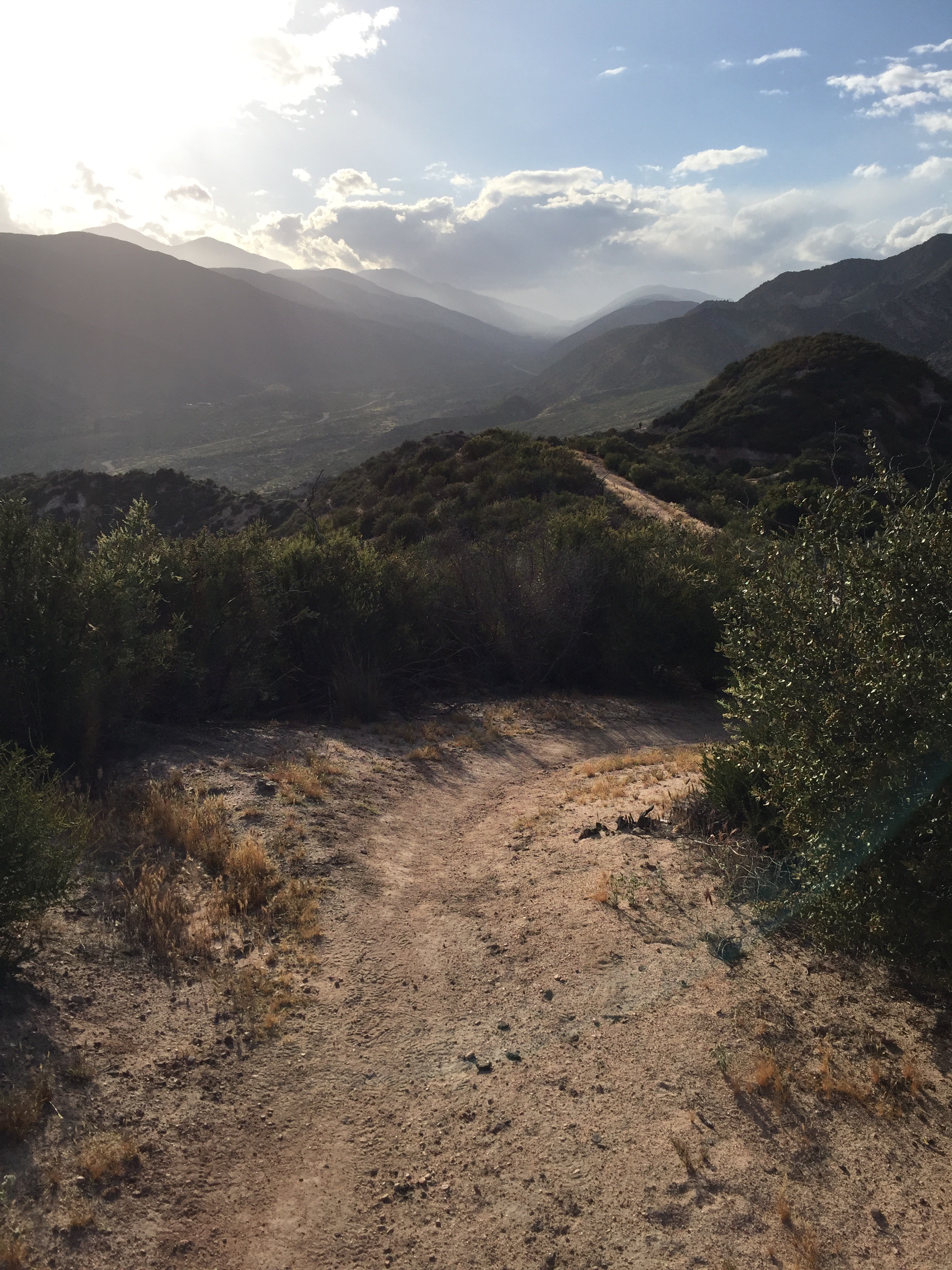
 The last part of the day was only 5 miles and it seemed to go by really fast. Despite me constantly stopping to take pictures as the evening sun presented incredible views. One of these posts I'll not used that phrase... But this is a scenic trail, which is all about the views from the "crest" of the hills.


 At the campsite, I met Faraday, Monte and David. The group (Riley, Alyssa, skinny Thor, Anna, Leah, Viet, and Alex), were also there. Despite all of us eating 2000+ calories at McDonald's, we were all hungry after setting up camp. Also, it was warm out so we all sat around telling stories and eating dinner until it was dark which is normally bedtime.
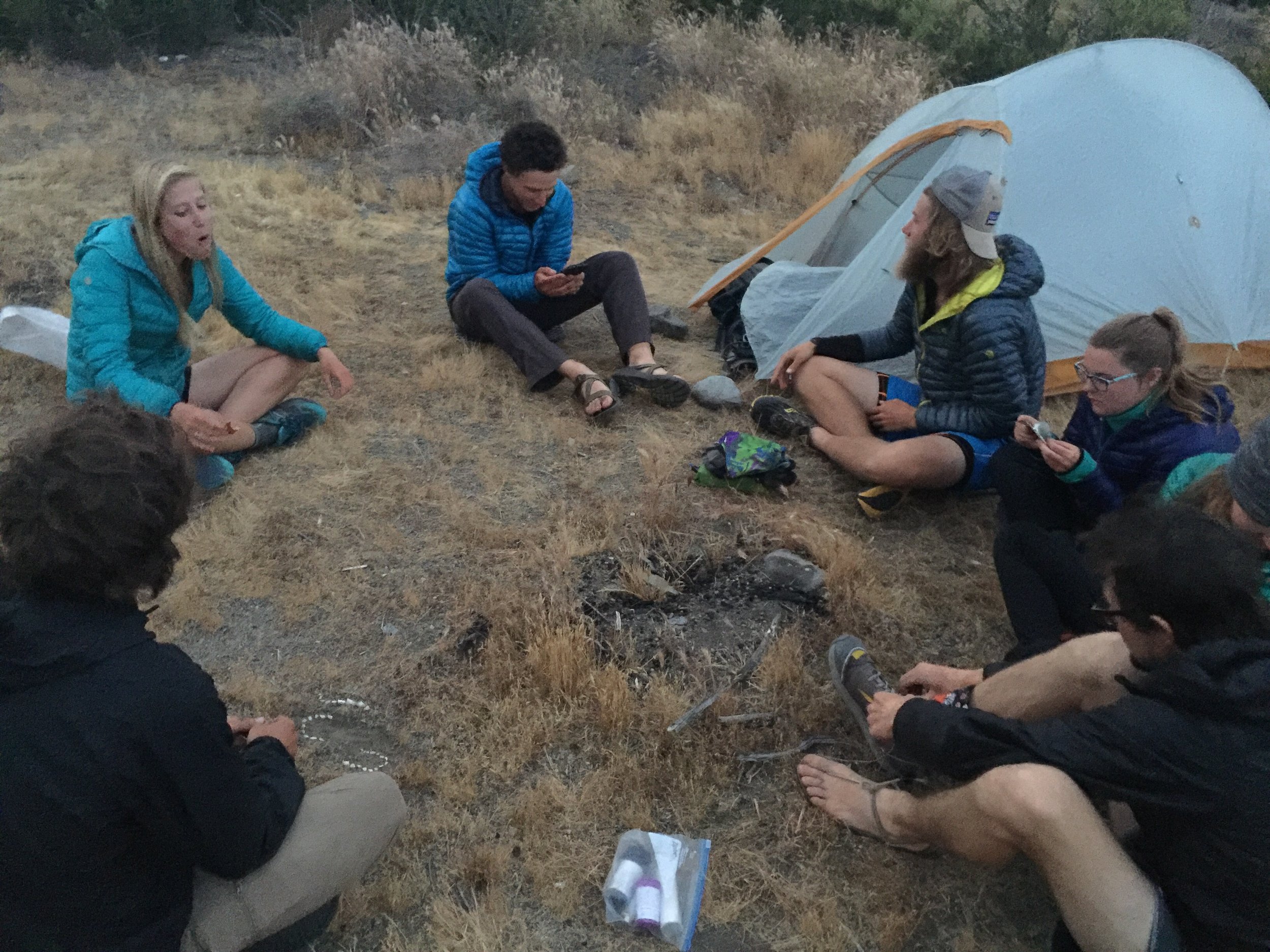
 The game plan for tomorrow is to wake up at 4:30 and hit the trail early enough so that we all arrive in Wrightwood by early to mid afternoon. We'll see if that actually happens.

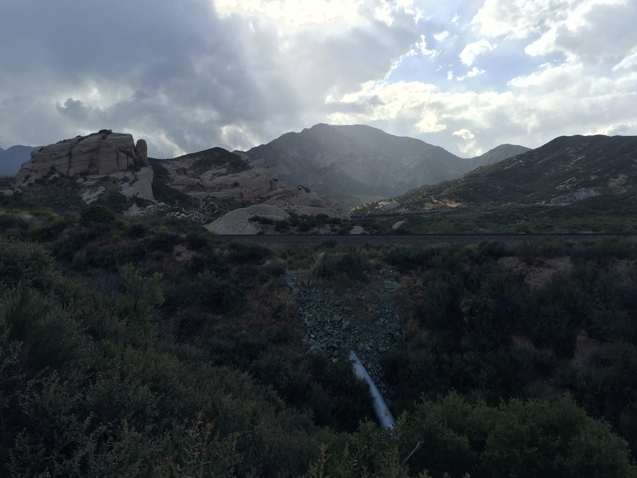
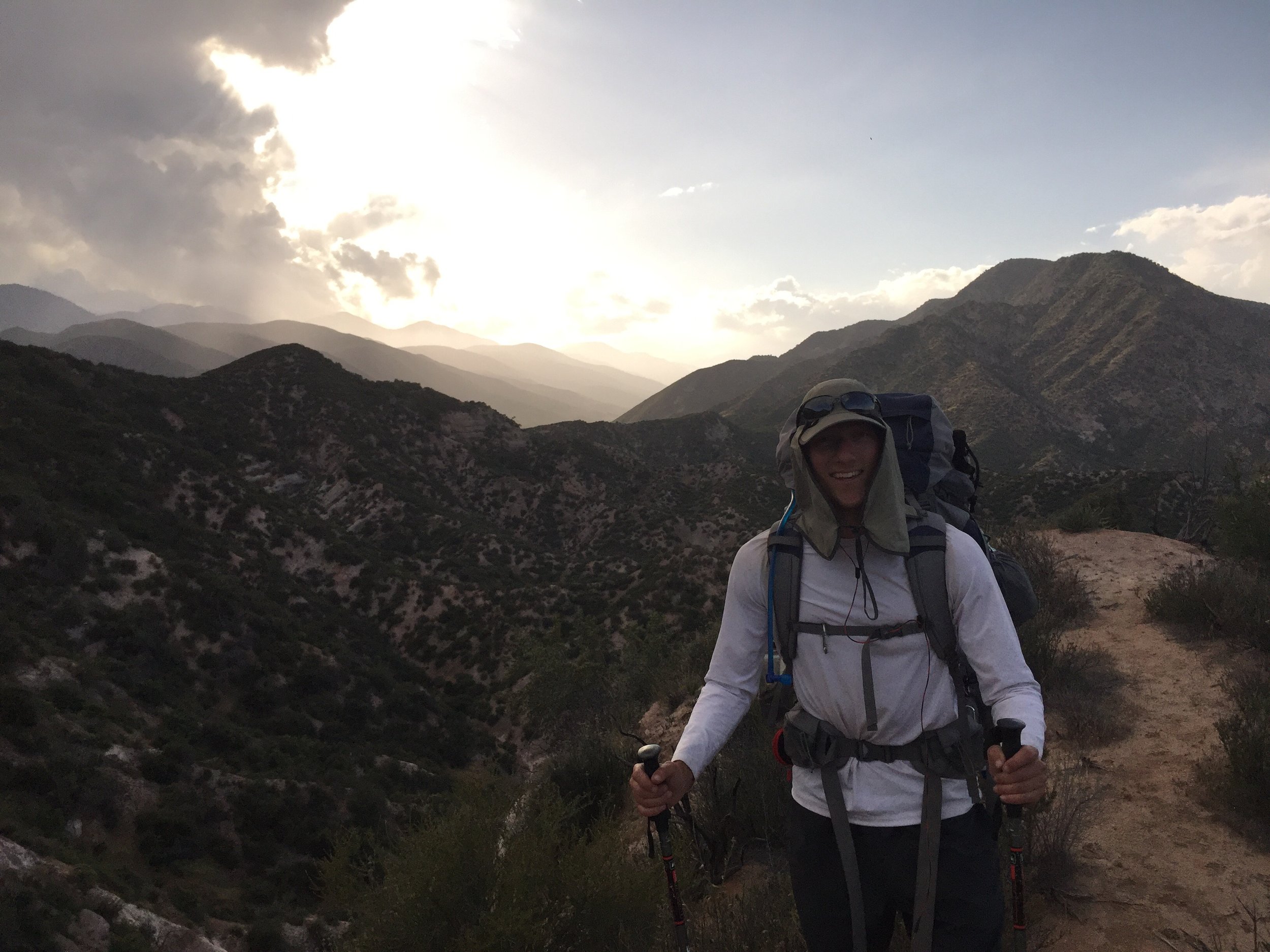
Day 19 - A long day. 331.9 (21.7)
Today I hiked further than any prior day. And I felt it too. The morning started off the same as most. As I was packing up, rain clouds rapidly moved in. I made sure I had all of my rain gear on before leaving camp. The moment I stepped foot on the trail, it started to rain. It did so for the next 20-30 minutes. It wasn't really cold compared to the other days I've seen rain.

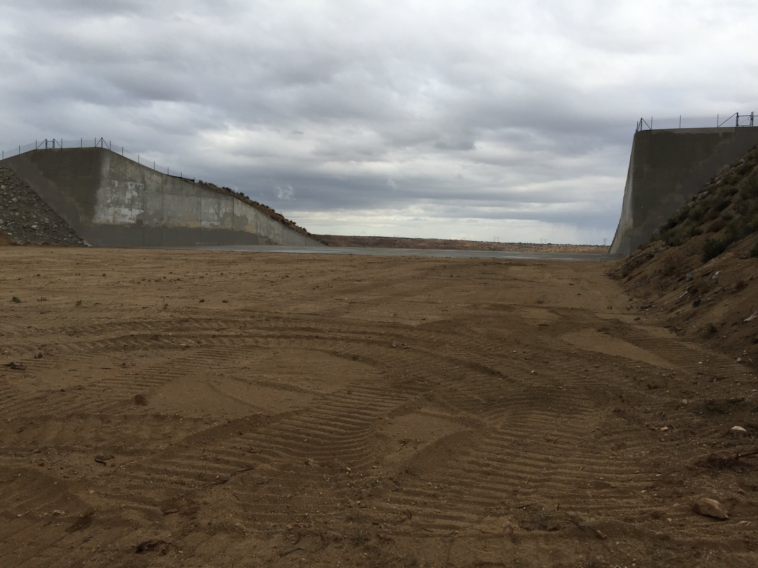
 The first 3 miles flew by. Very easy hiking. I arrive at a spillway. Later I learn it is there to help direct water flow if the upper dam breaks. When making a sound in the middle of its walls, it created a very long echo.

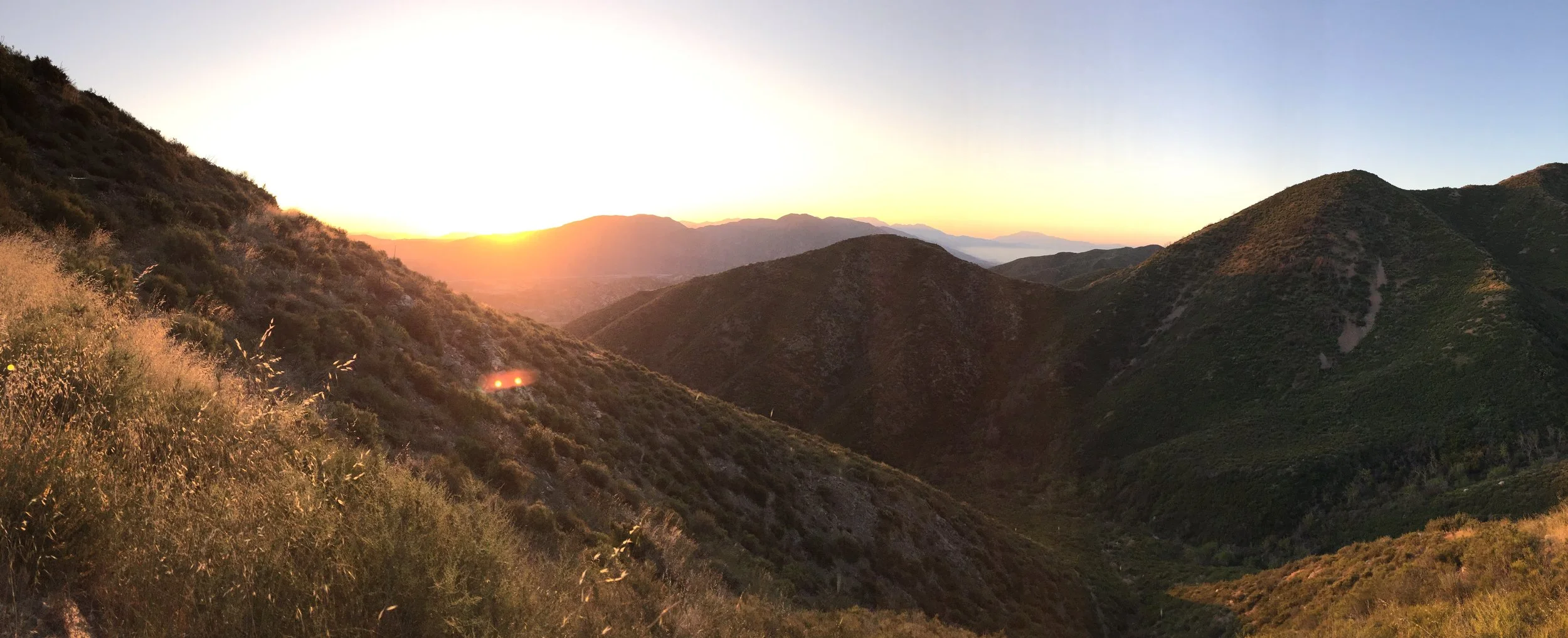
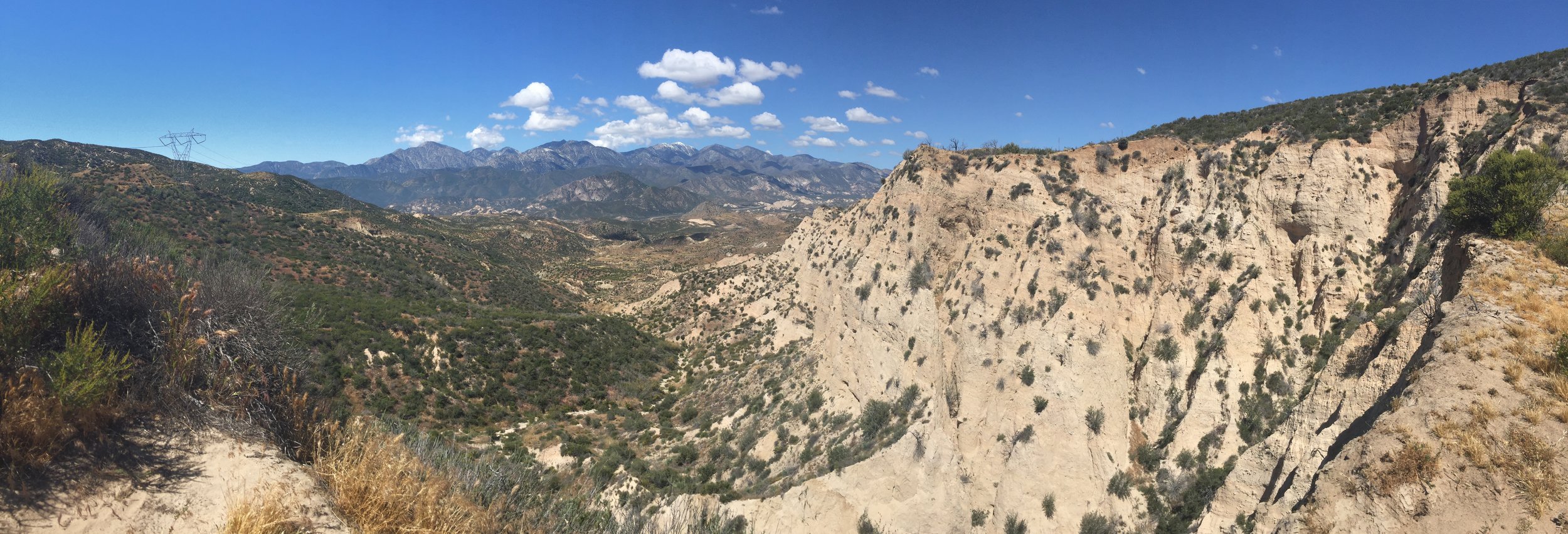
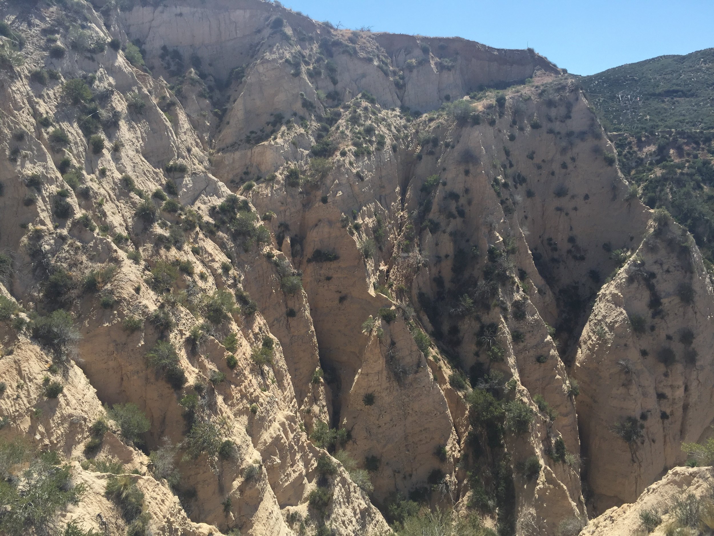
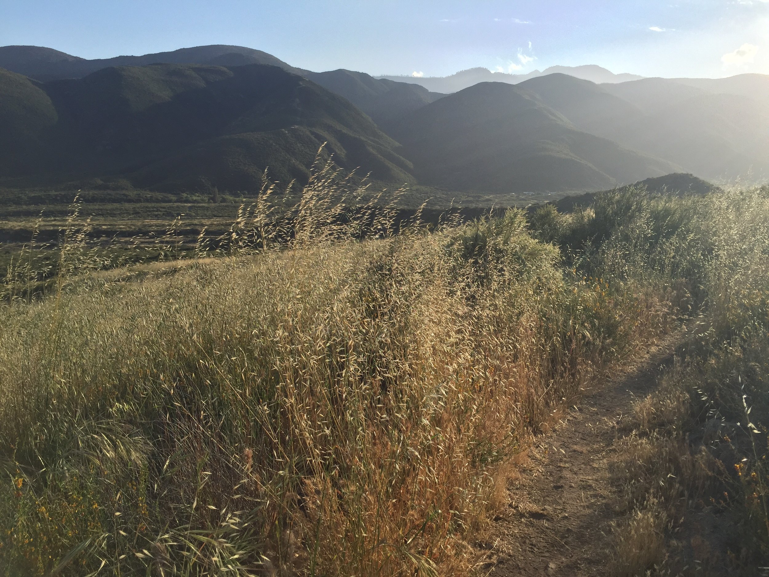
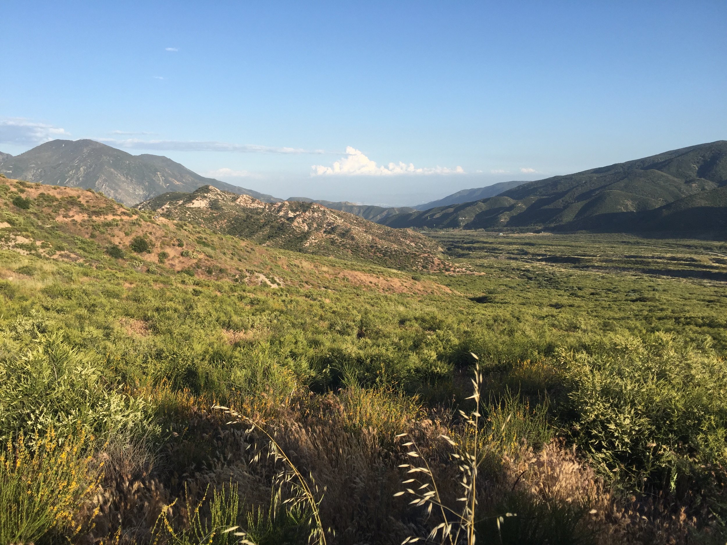
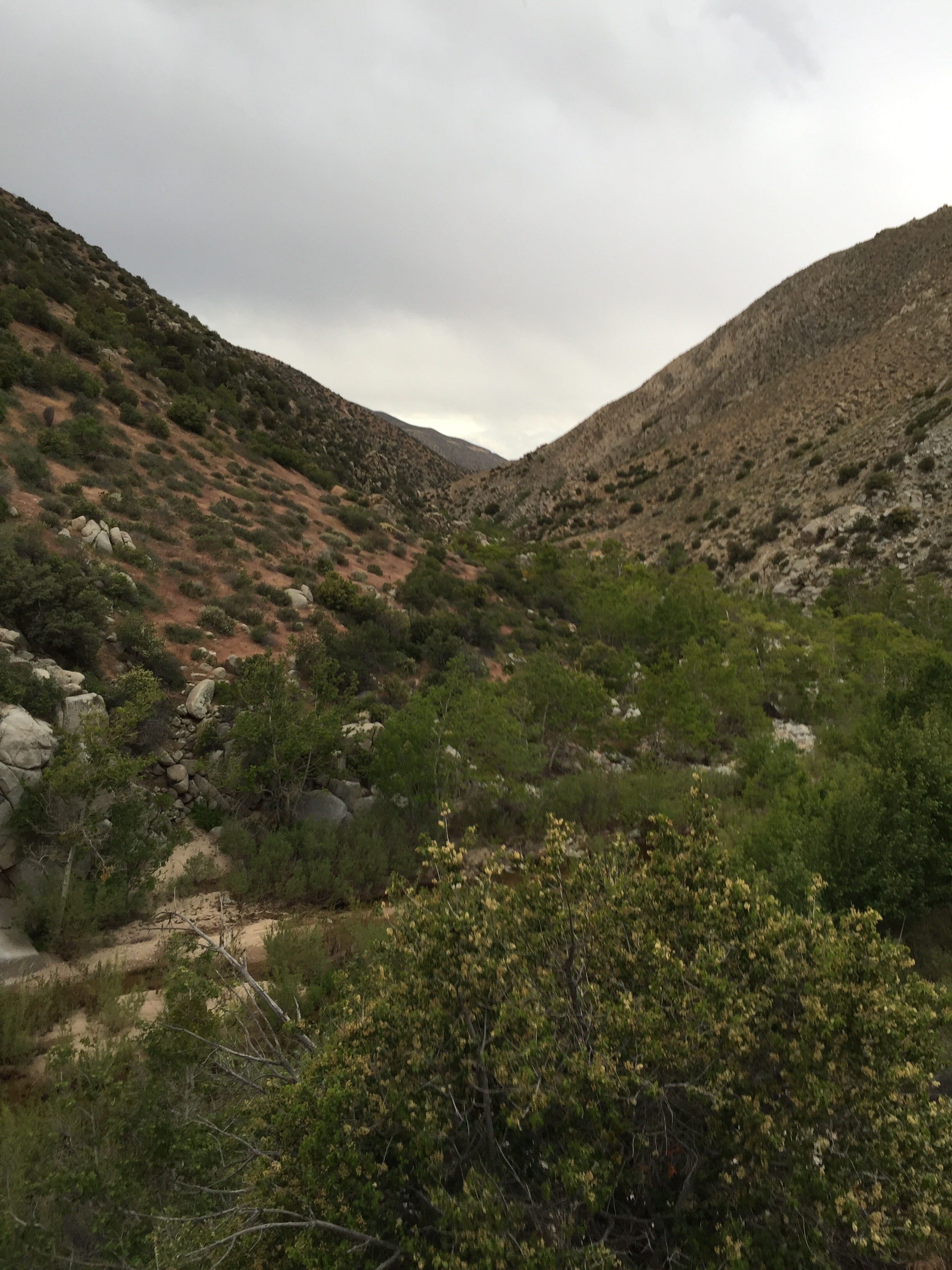
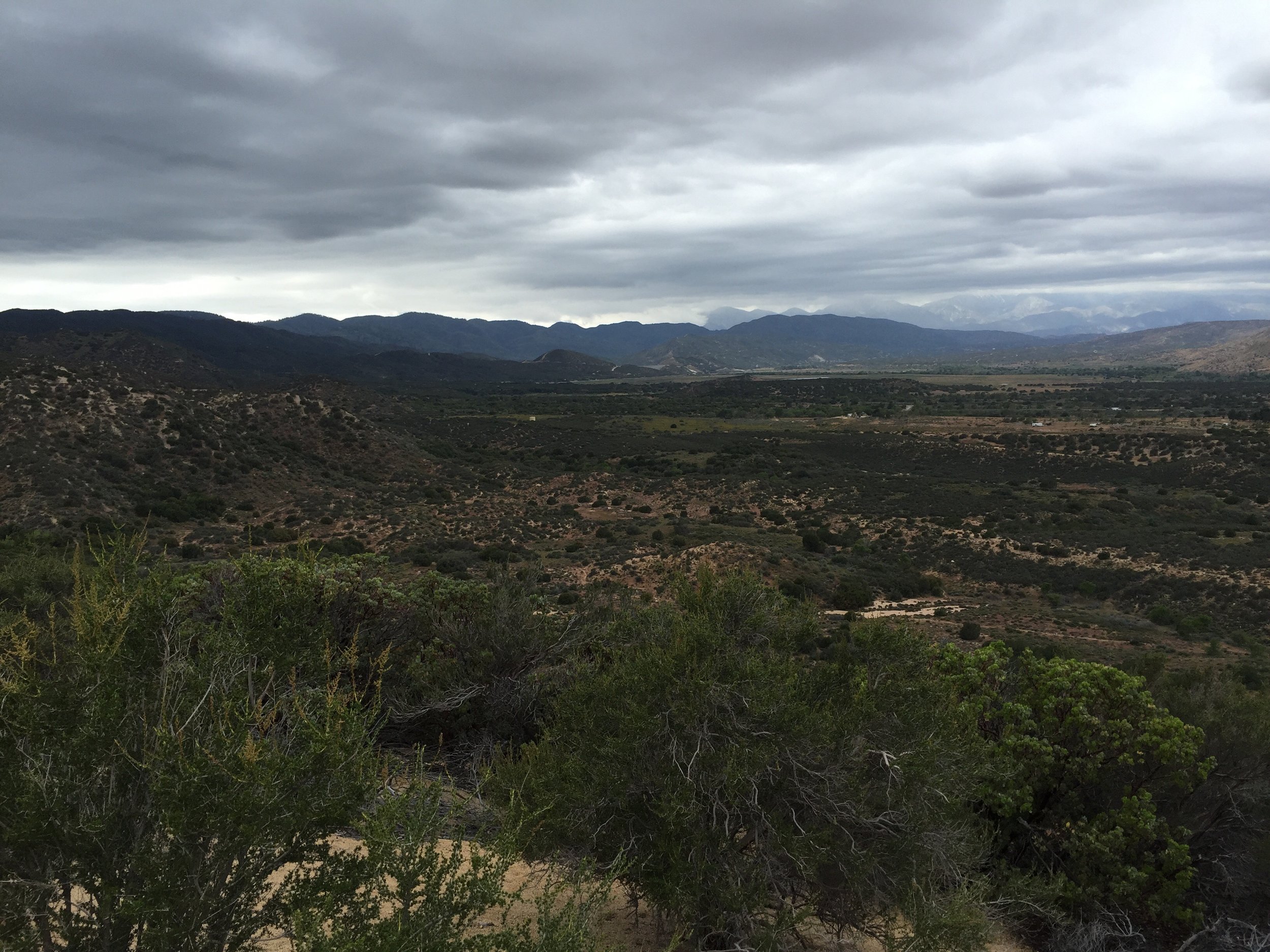
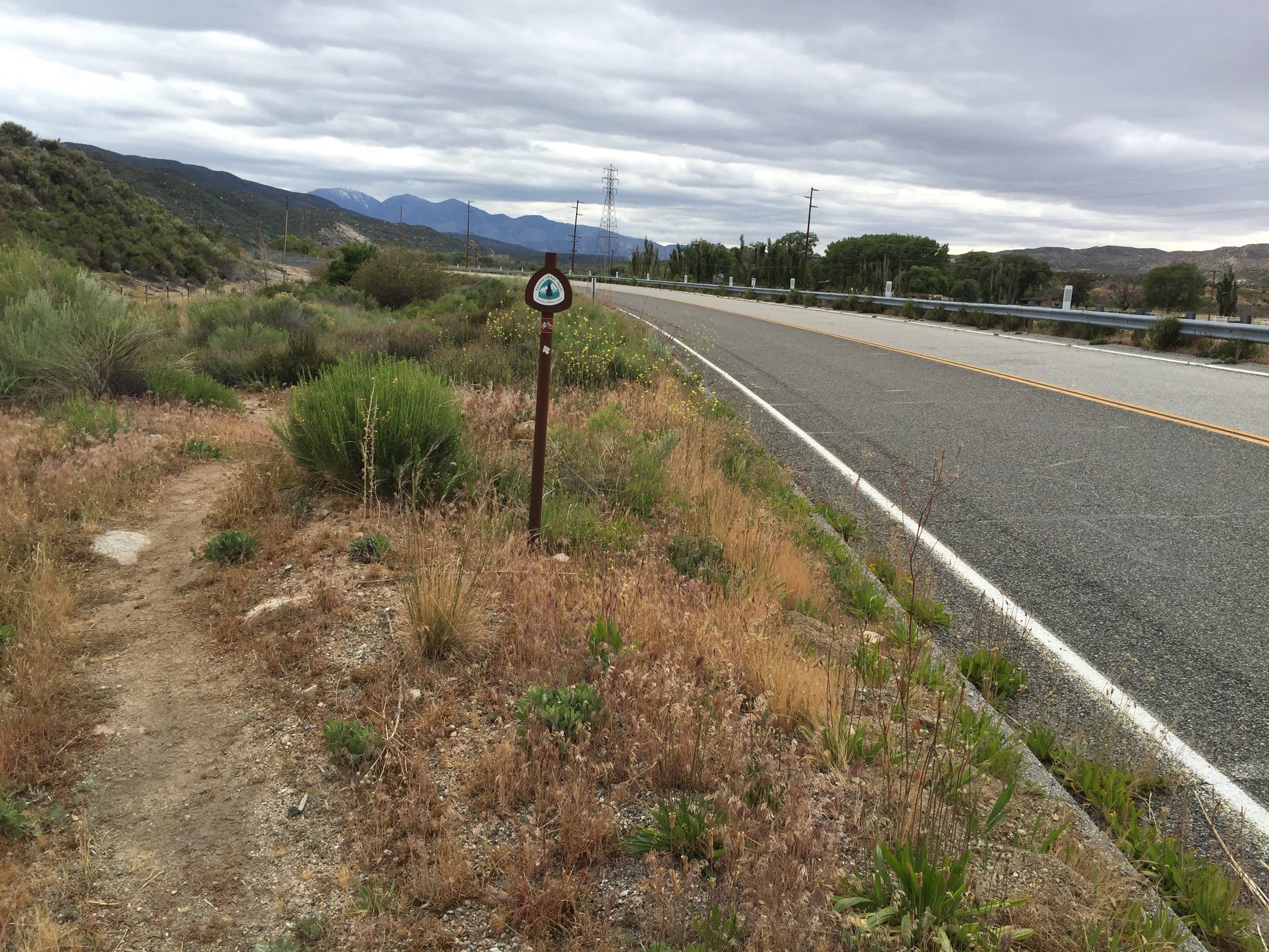
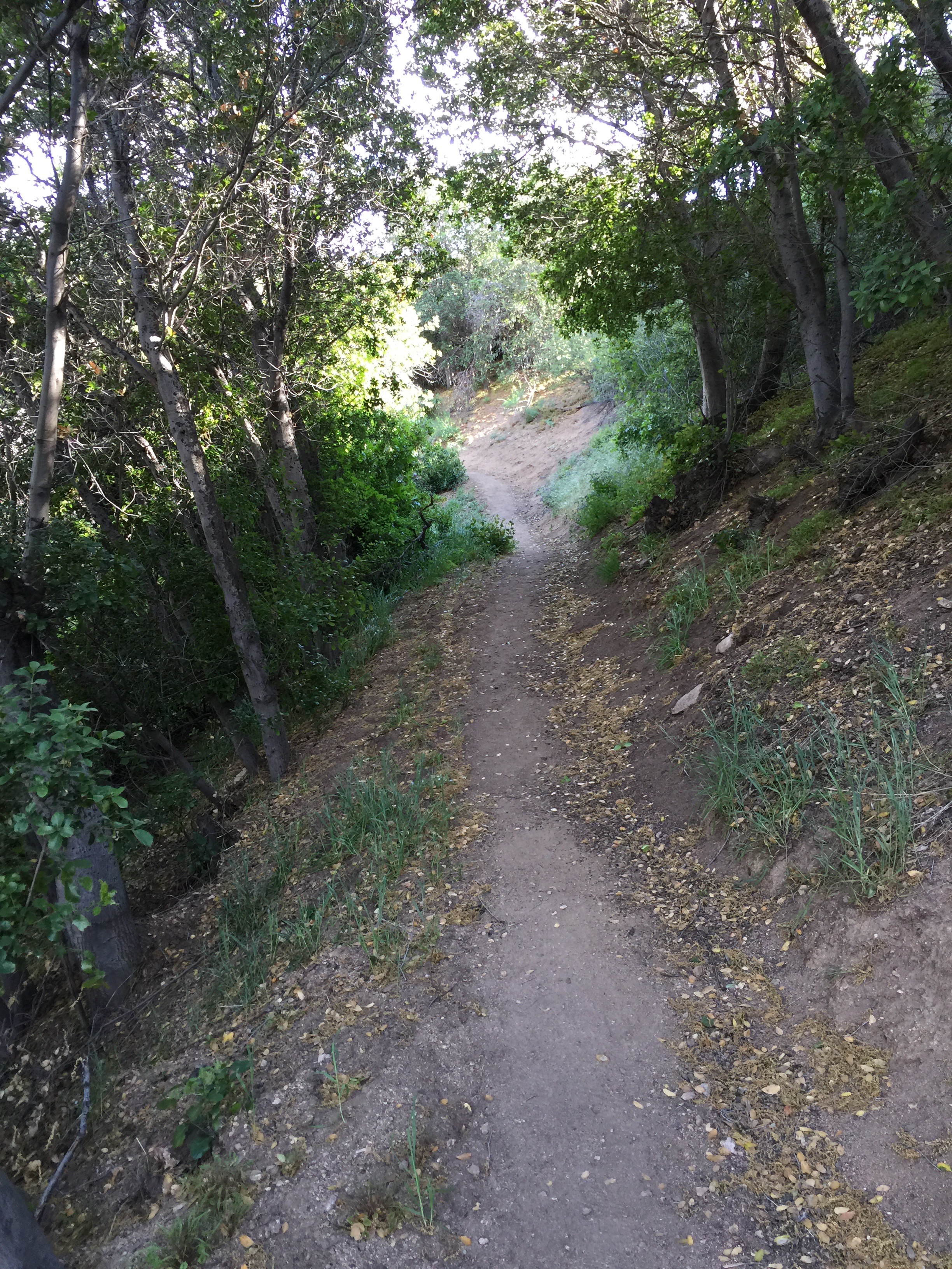
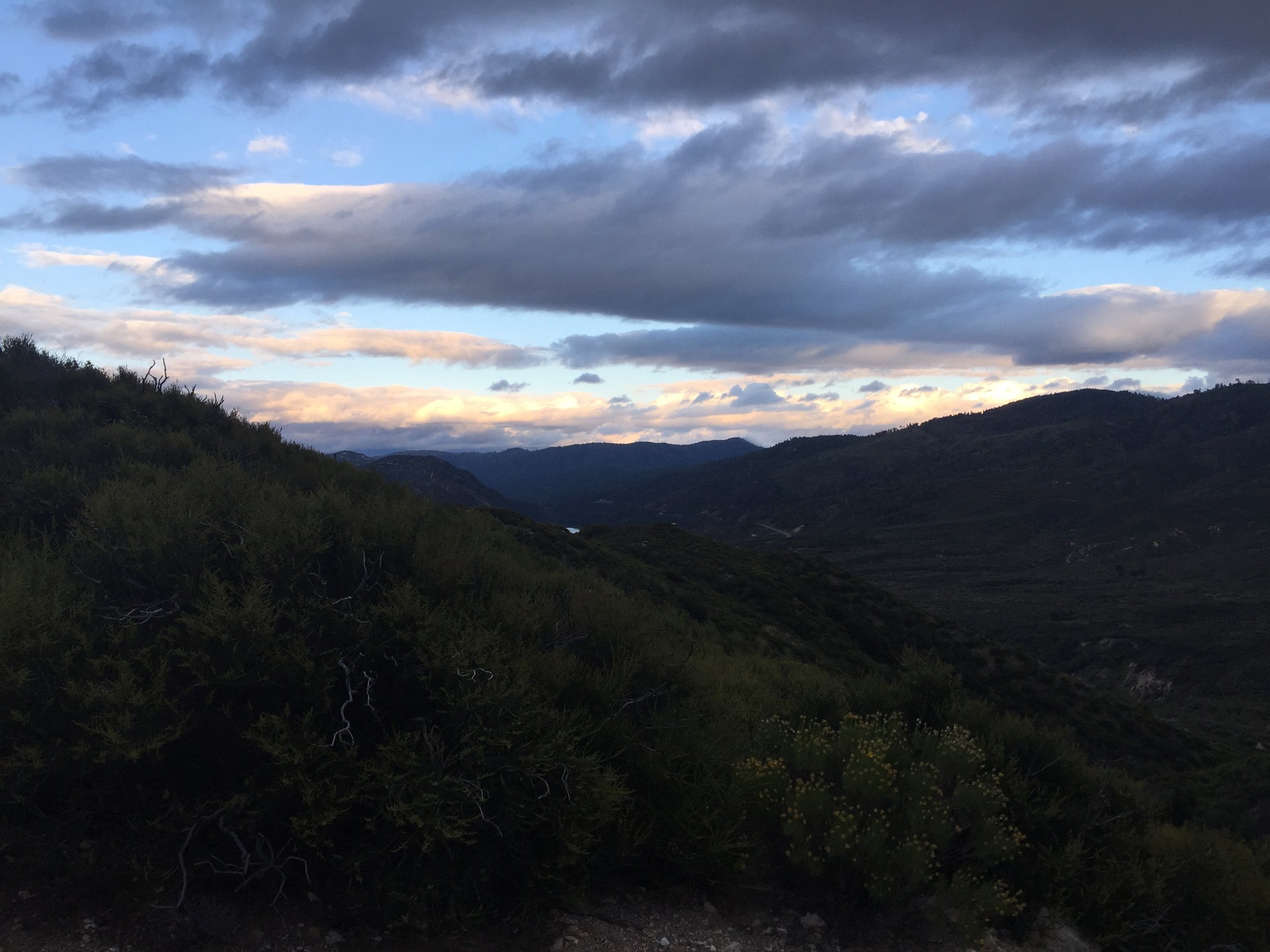
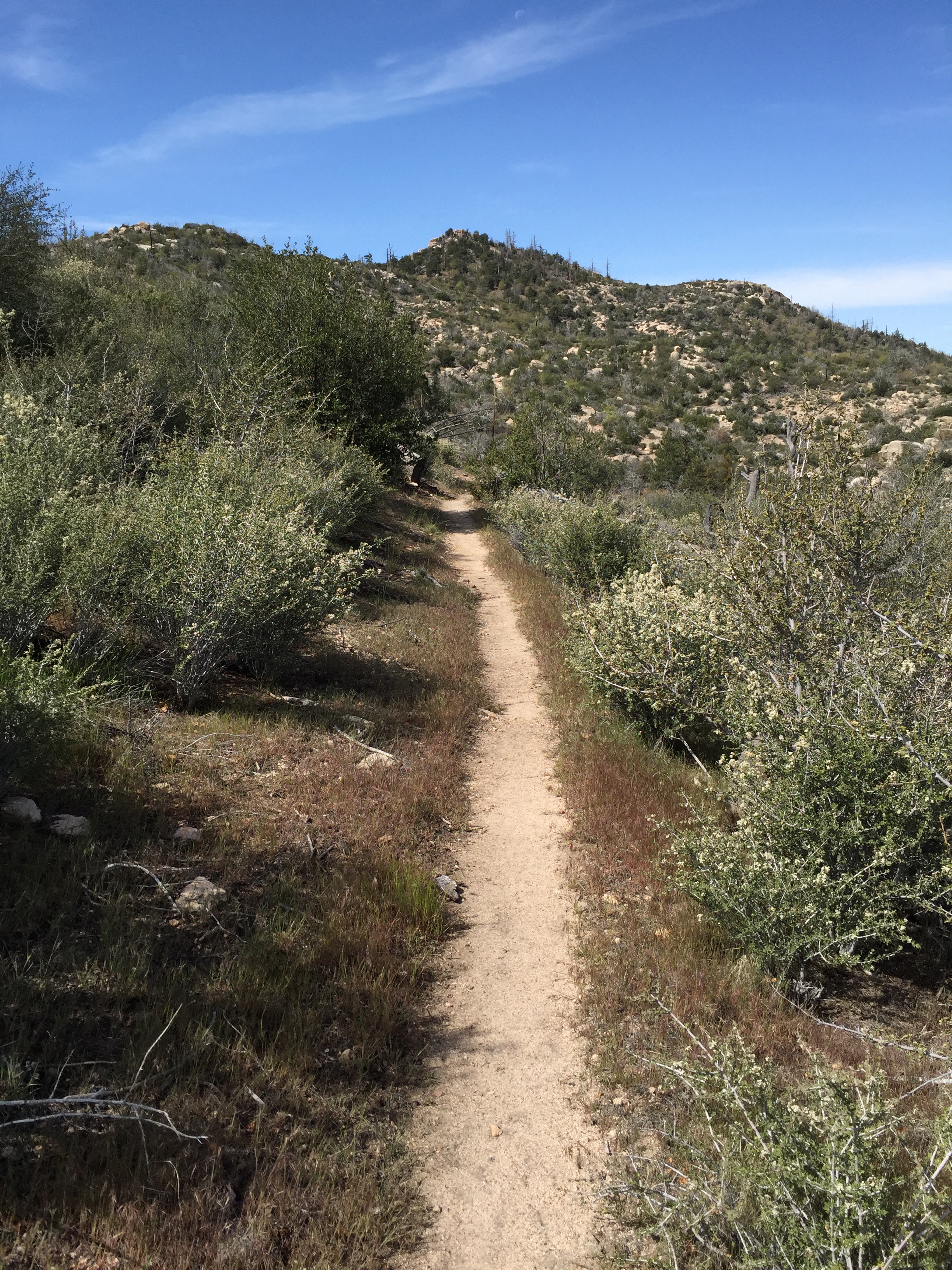
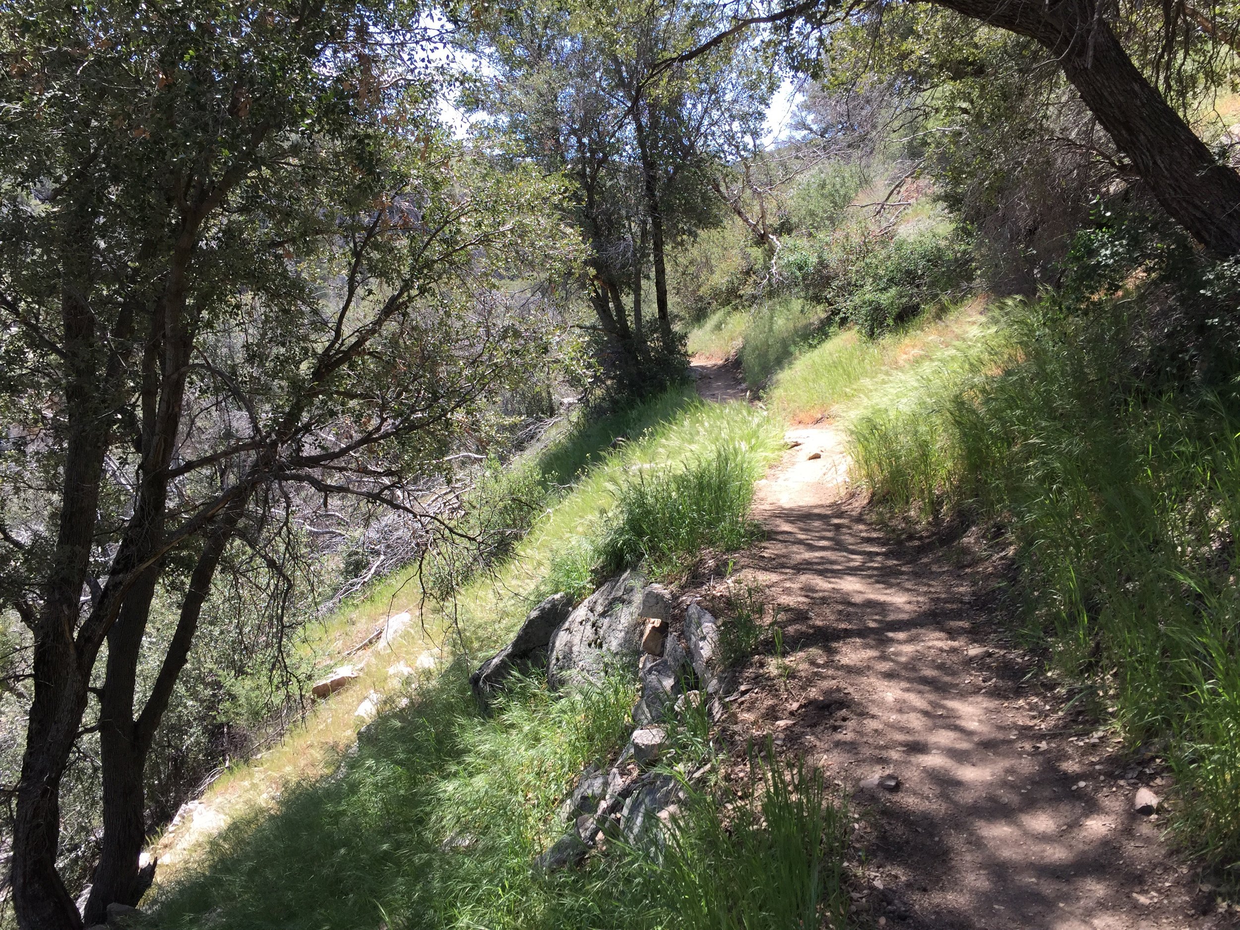
 The PCT is all about traversing the hillsides. In doing so, it weaves in and out of every little hillside valley. This provides hikers with views that seem to change after ever turn of a corner. So I took a lot of photos.


 I was needing water around mile 317. There was a campground with water 3/4 mile on a side trail. I tried going there, but the trail was very poorly marked and turns into a vast area of paths that could be the trail. I decided it wasn't worth getting lost and I really needed water after about an hour of wondering around. If say I walked at least 1.5 miles during this time.
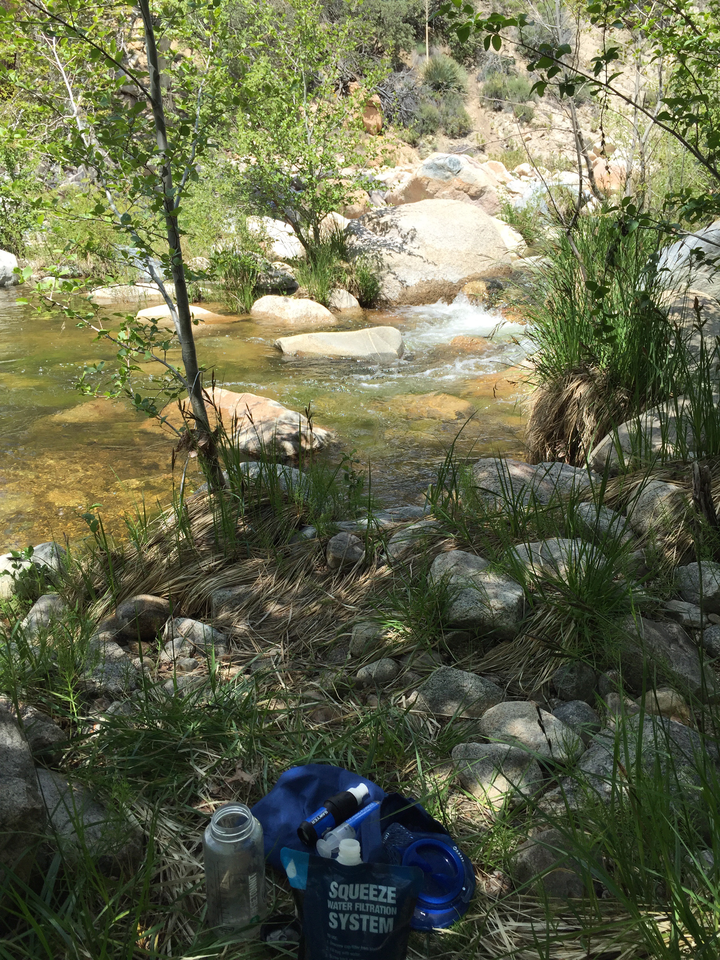
 Walked back on the PCT and literally .3 miles later was a good water source. Feeling a little frustrated I refilled with a couple liters of water and stretched a bit. Feeling better I marched on.
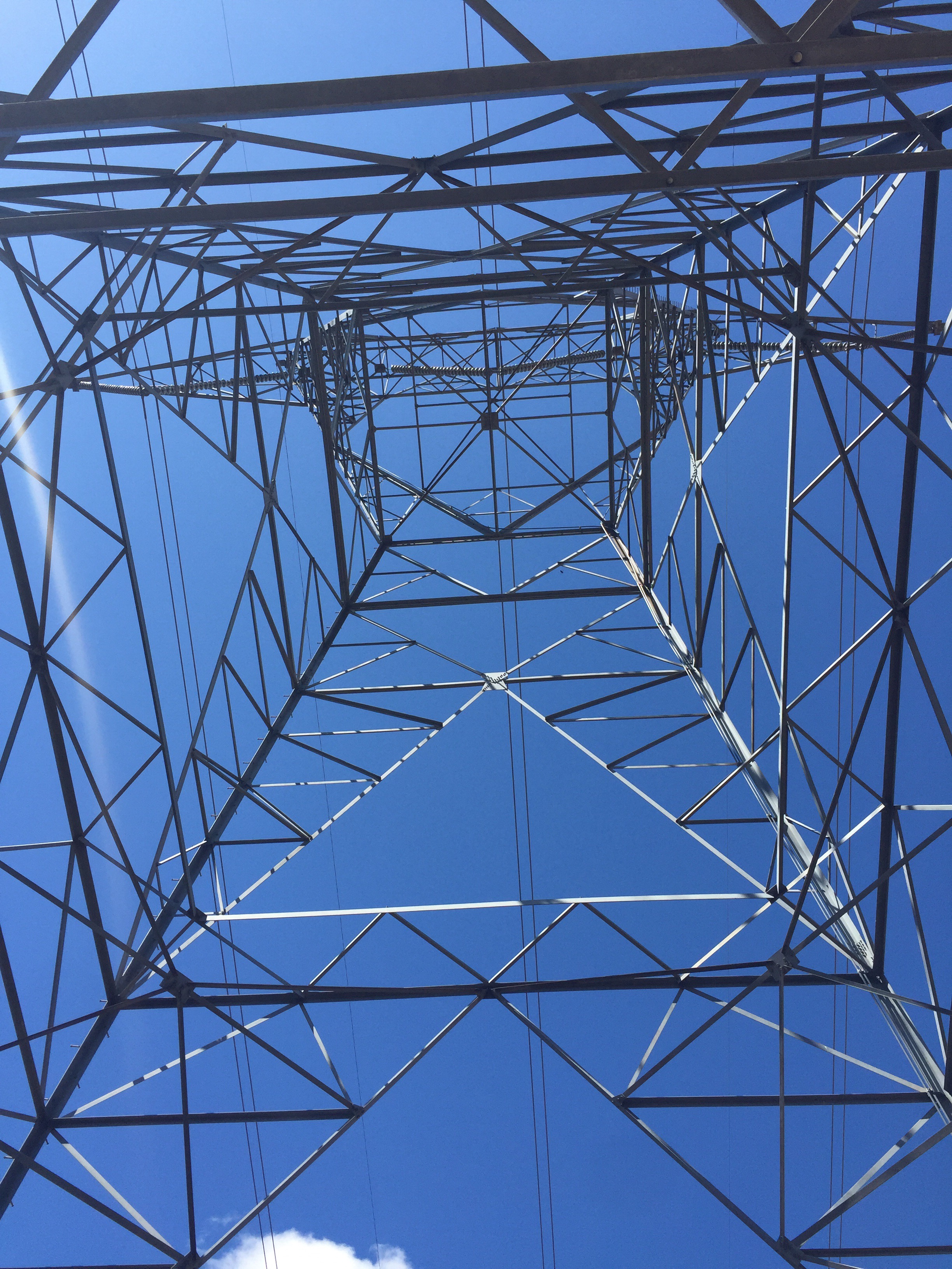
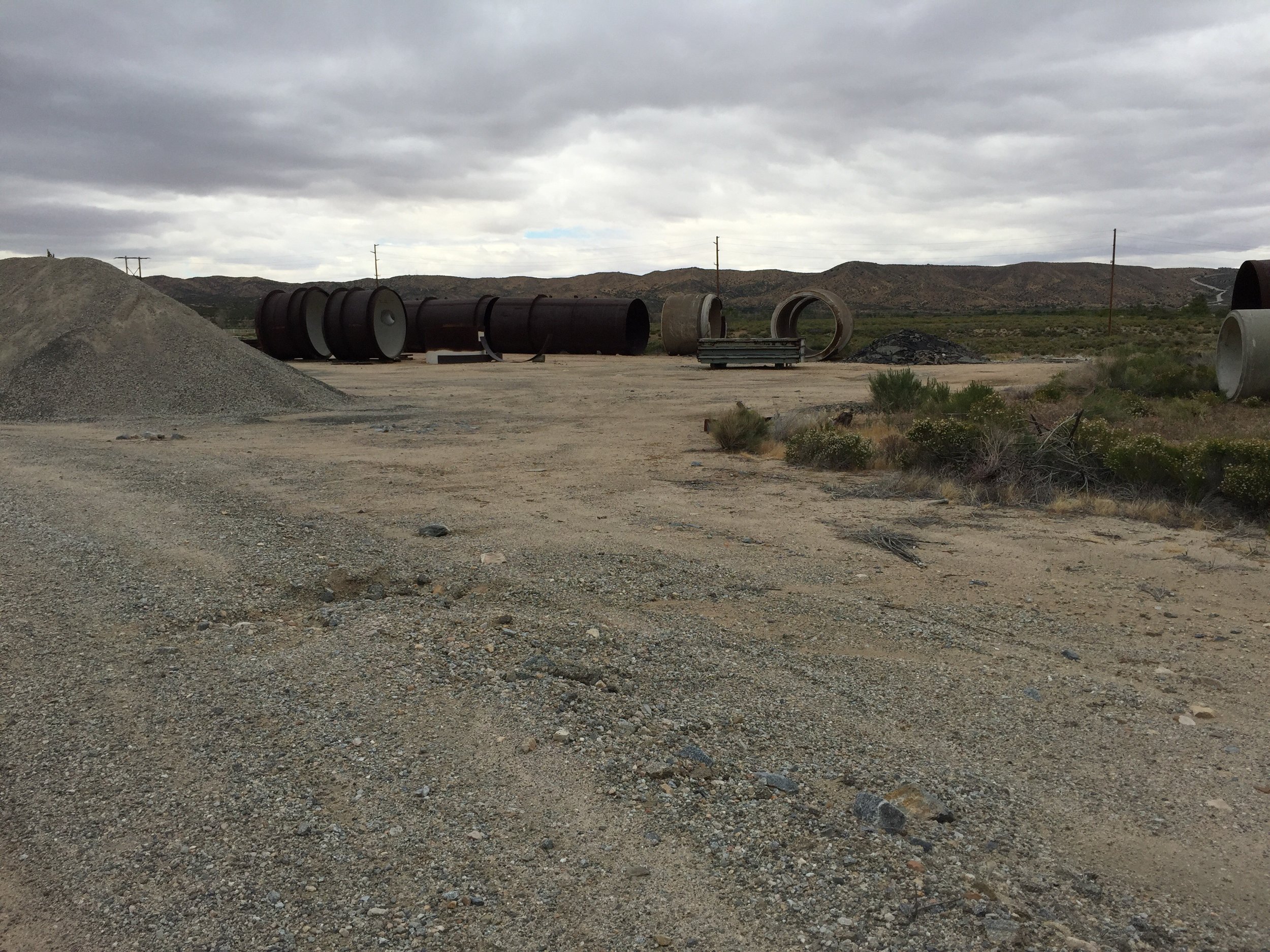
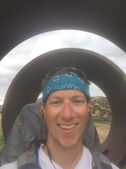
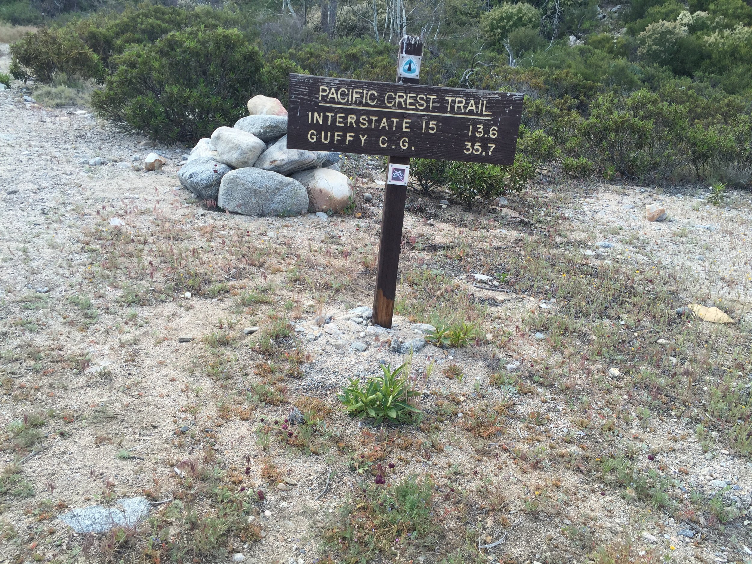
The trail passes by a gravel yard and a power station, both of which are alongside a paved roadway.
Walked back on the PCT and literally .3 miles later was a good water source. Feeling a little frustrated I refilled with a couple liters of water and stretched a bit. Feeling better I marched on.
The trail passes by a gravel yard and a power station, both of which are alongside a paved roadway.
 A short while later it goes up onto the ridge surrounding a lake (all created from the dam). It was pretty cool sight.


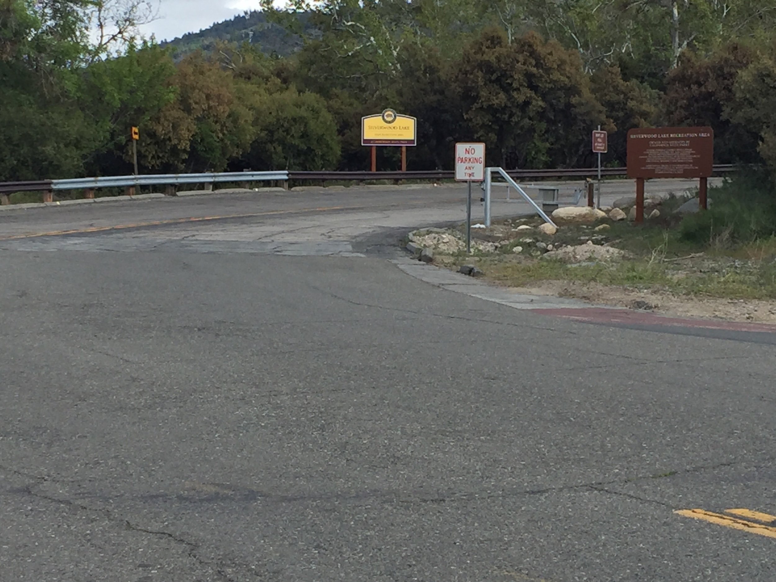
 The trail walks the half of the lakes edge. At the far end , before it heads back into the hills, it comes to a state park (mile 328ish). Here I expected to see the group I'd been hiking with for the past few days. Unfortunately I did not.
I had two choices. One, I could wait for Anna and Alex who where behind me 30-60 minutes (according to one of the other hikers I ran into). Or two, I could continue on and select a site a little ways out of the public park.
The trail walks the half of the lakes edge. At the far end , before it heads back into the hills, it comes to a state park (mile 328ish). Here I expected to see the group I'd been hiking with for the past few days. Unfortunately I did not.
I had two choices. One, I could wait for Anna and Alex who where behind me 30-60 minutes (according to one of the other hikers I ran into). Or two, I could continue on and select a site a little ways out of the public park.

 I chose the second and it kicked my ass. It started off with a gentle slope which I thought I could find a nice campsite. It was covered in dense vegetation. So I slowly continued, and the slope got steeper and steeper. To the point of where there weren't any plants, it was a cliff. I hiked 2.8 miles past the state park (a point where I was already mentally ready to setup camp. That's 2.8 less miles to the McDonald's tomorrow. I can't wait.


Day 18 - Deep Creek Canyon and Mile 300. 310.2 (17.8)
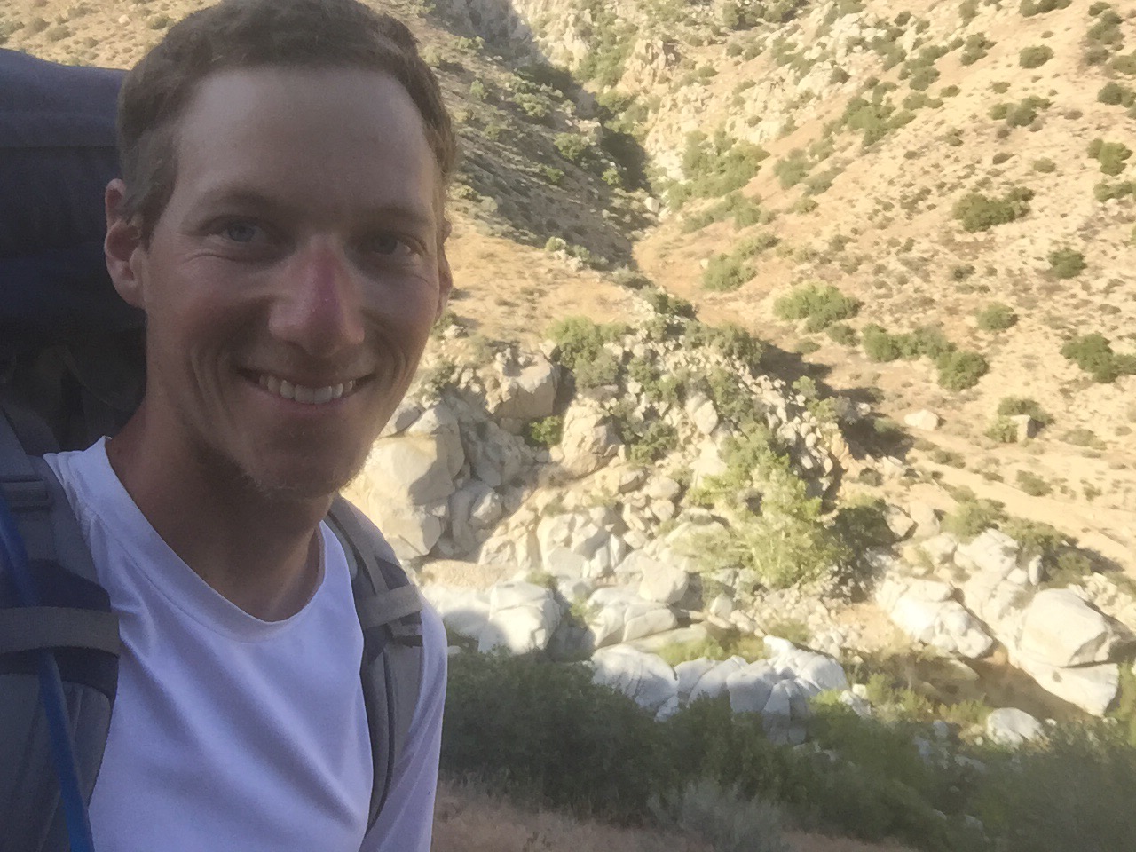
Today was one of the best days on the trail so far. 
 Last night was COLD! None of us were prepared for it. Also, it didn't help that I had to get up around 1:30am to relieve my bladder. I tried going back to sleep instead, but there was no way I was going to hold it for another 5 hours. So I went out maybe 5 feet from my tent, bare footed, shorts and my coat. I say again, it was Cold.
Took my time eating breakfast and packing up. Talked with Alex (who also was taking his time) for a while as we let our rain flies thaw then dry just a little.
I left camp dressed head to toe in my warm clothes. Not 15 minutes later, I had to pull off the trail to strip everything off. I knew I was going to need to, but I just couldn't get myself to do it before leaving camp.
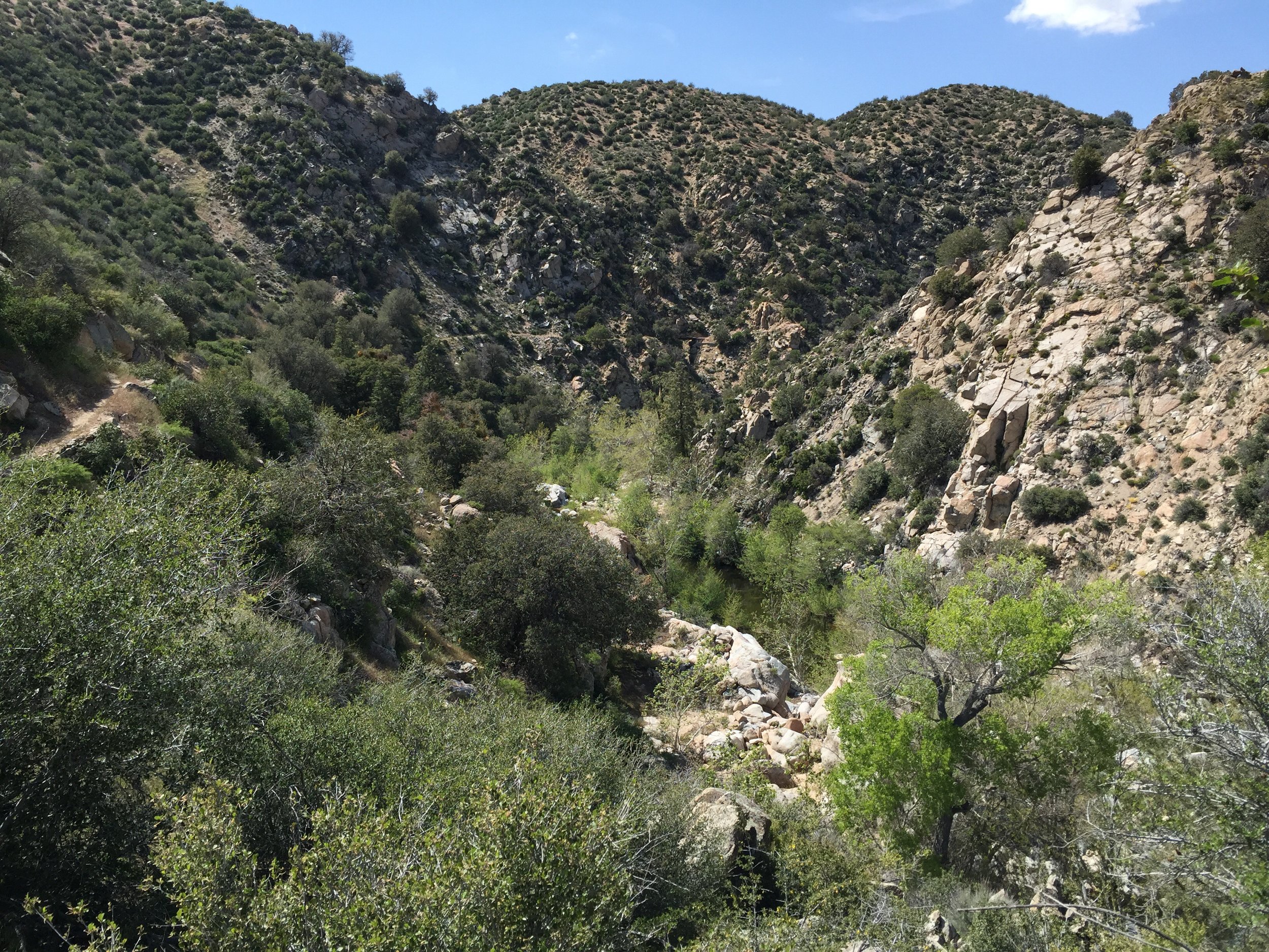
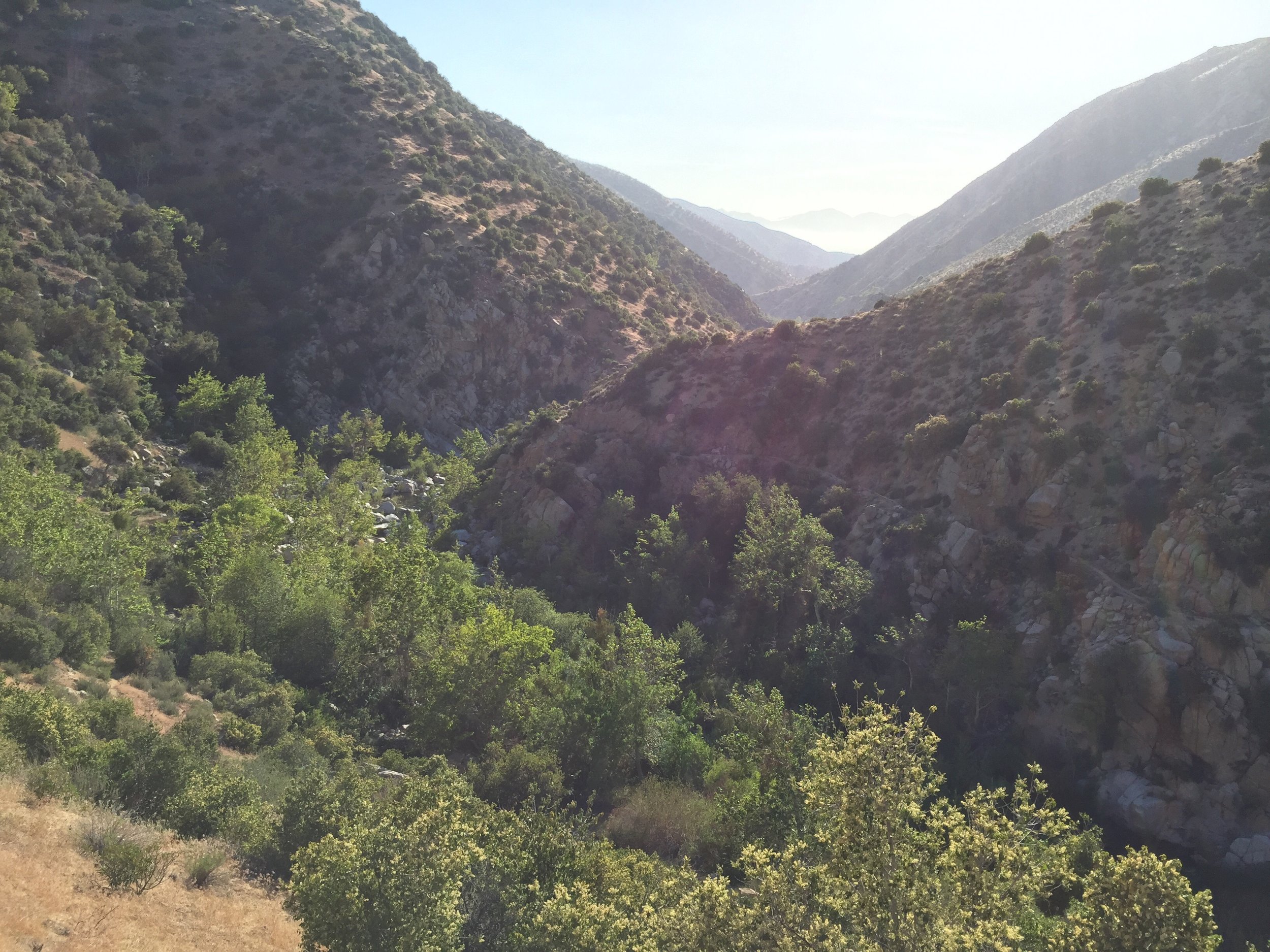
The next 6 miles were uneventful. The scenery was very desert like. The last 12 miles were incredible.
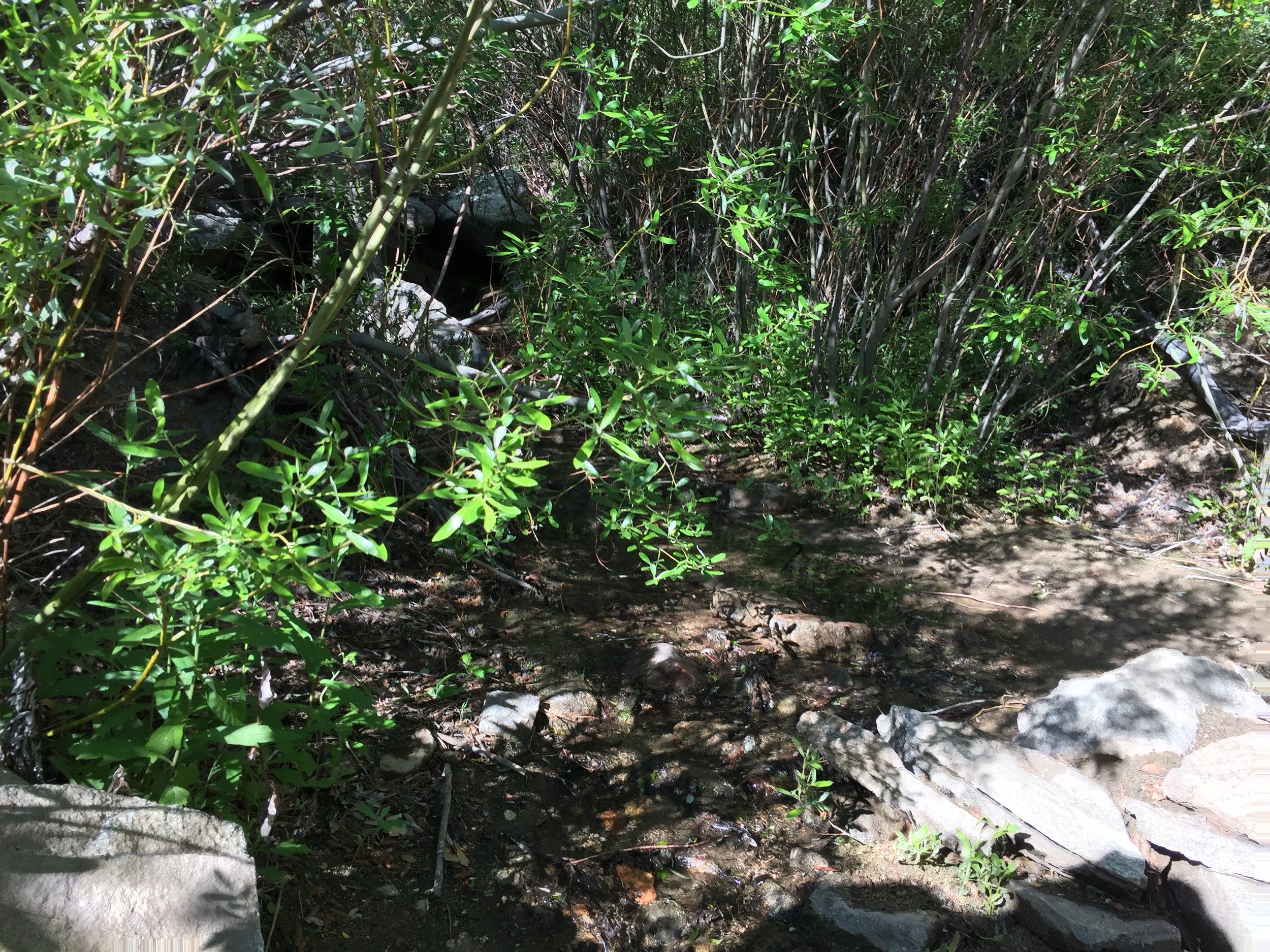
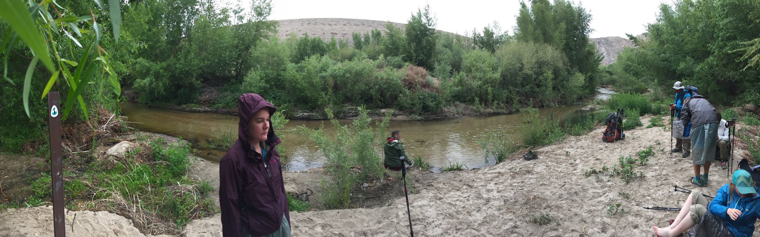
 Last night we had camped next to Deep Creek, which I would agree was a creek. By mile 298, the creek turned into a river (but doesn't change its name). Ever curve/corner that I went around provided a new view that I couldn't help take pictures of.


 Around 12:30pm, shortly after passing the 300 Mile point, I found a way to the river. I needed more water and was ready for lunch. Anna and Alex were already there eating and drying out their gear from last nights frost. I chose to do the same. There were a ton of flies in this area and they drove me crazy. There were always 5 in my face at all times. I would take out 10 of them and there would still be 5 more. Tolerated them till 2:00pm. I would rather hike in the heat then deal with them.


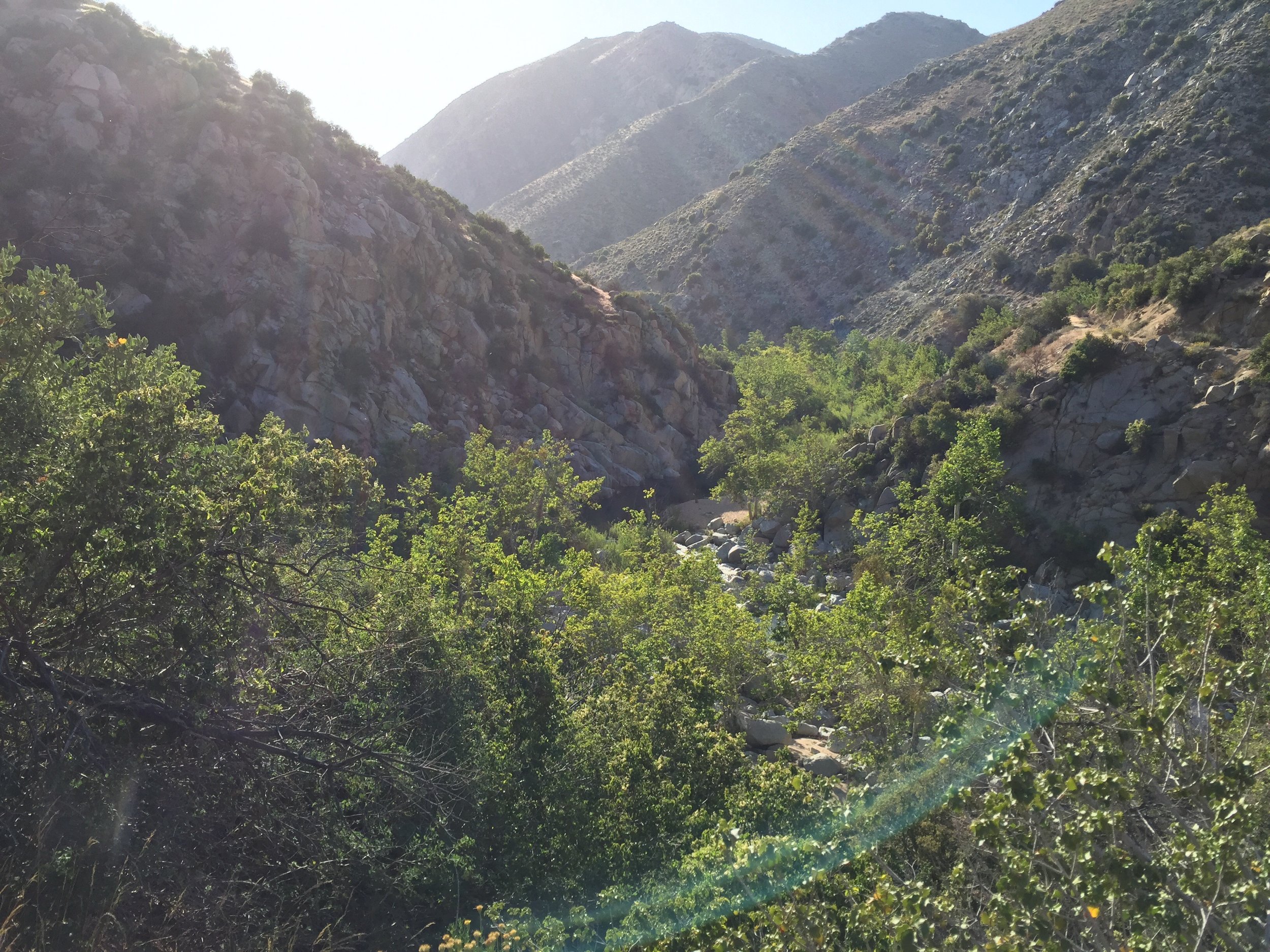
 Lunch was followed by more views. It would have taken my mom a lifetime to walk through this canyon. Around every corner she would have wanted a picture. So did I.


 [wpvideo Dgtte4pM]
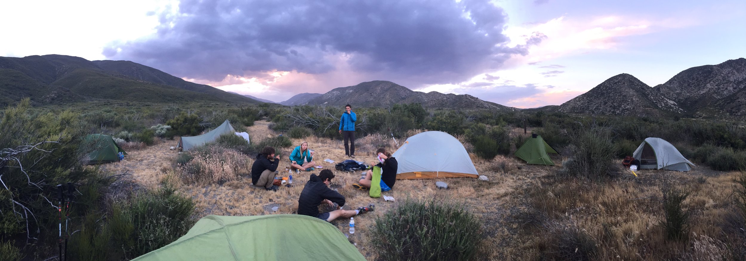
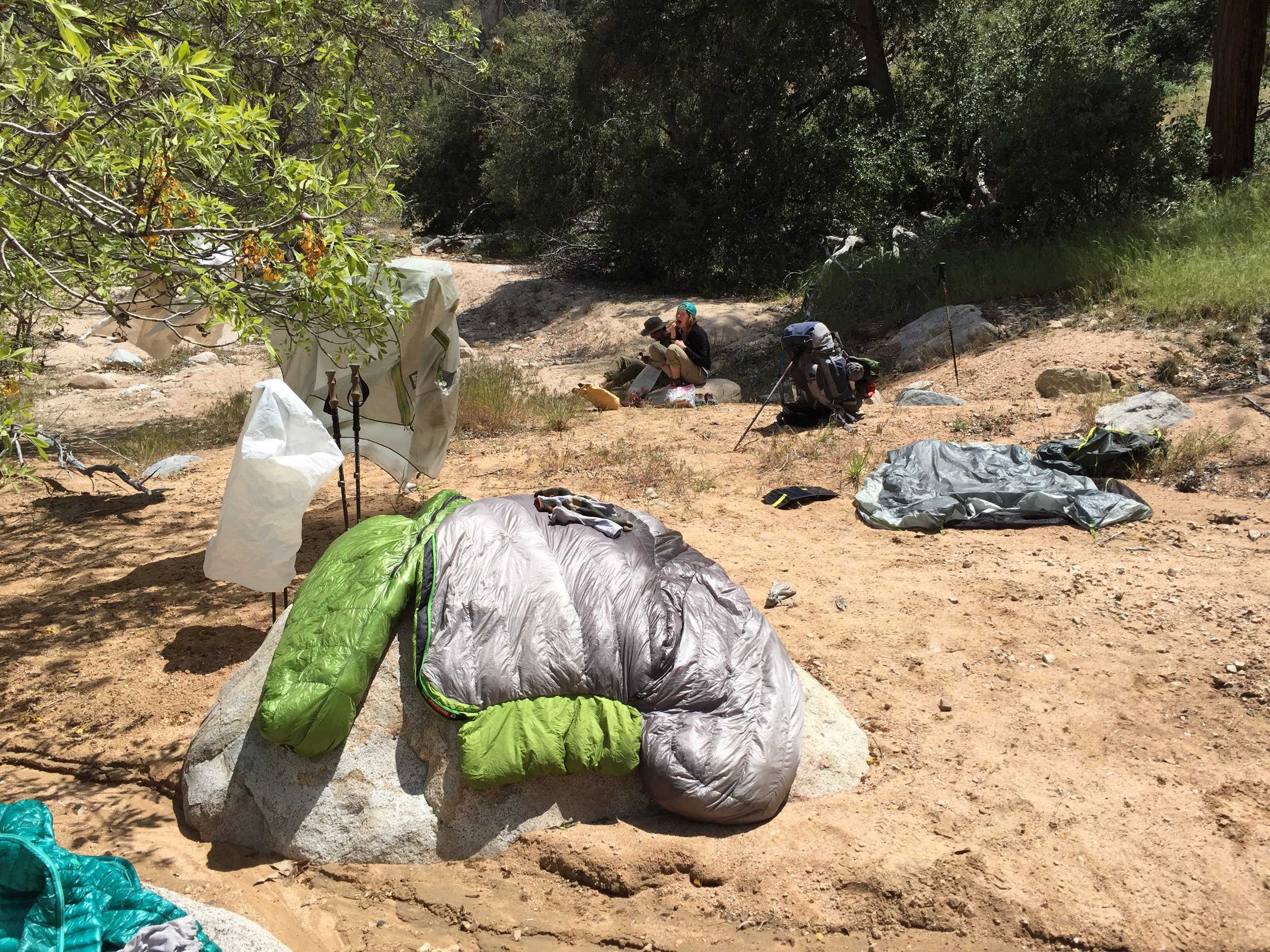
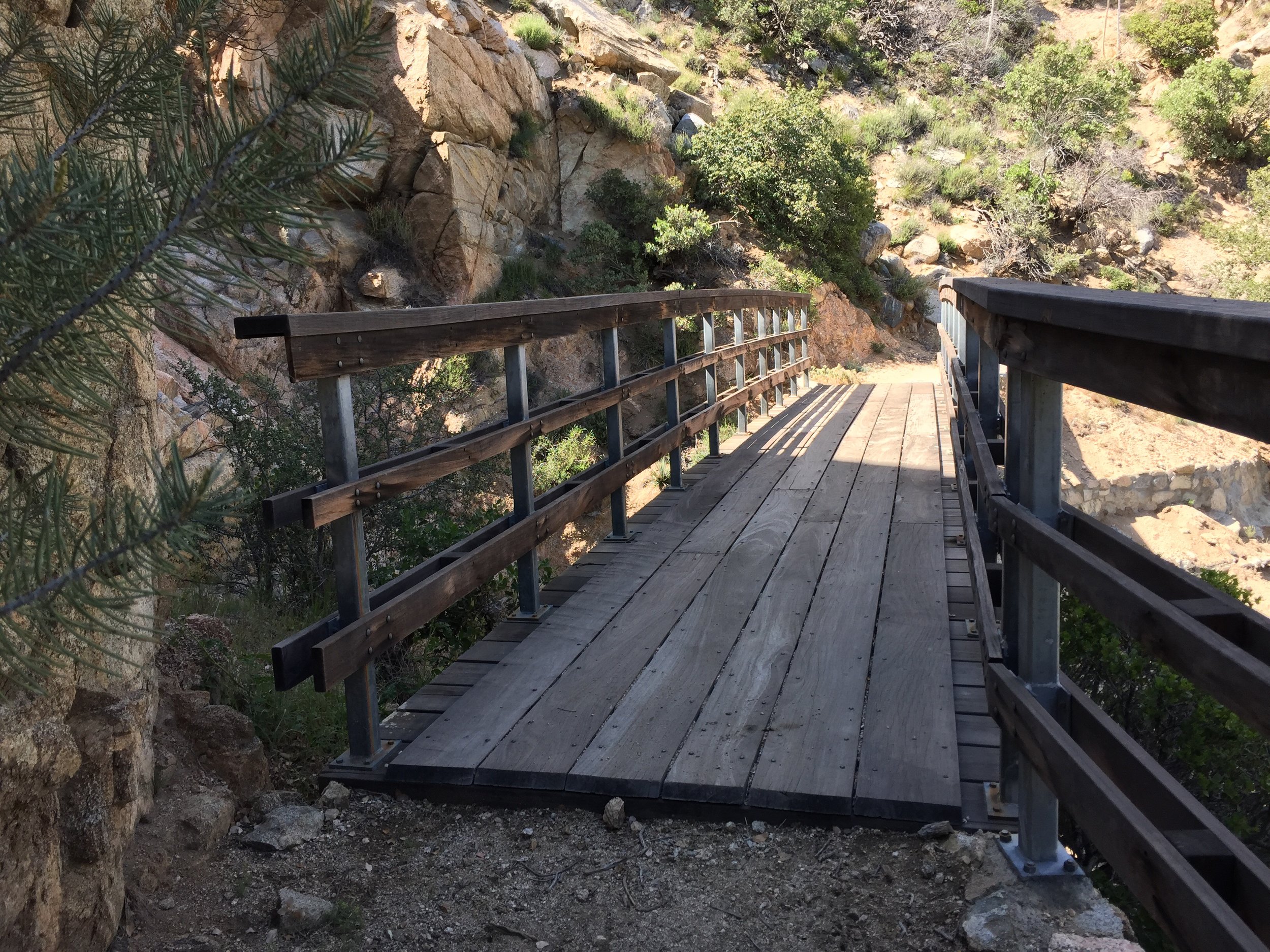
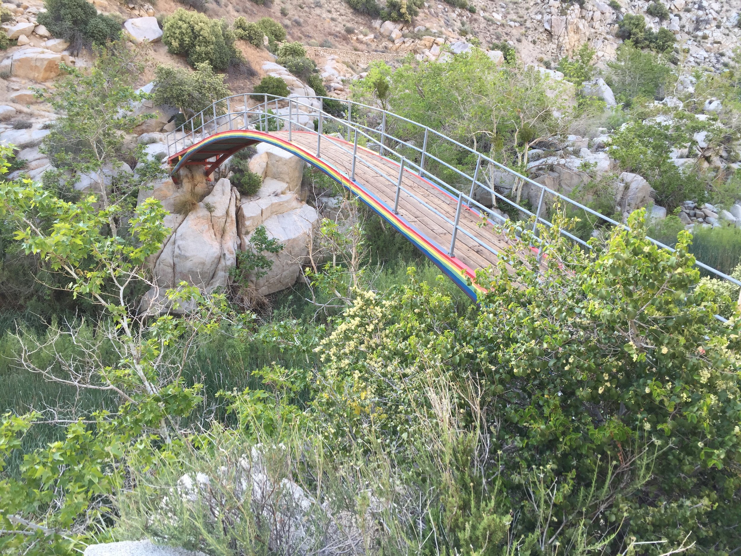
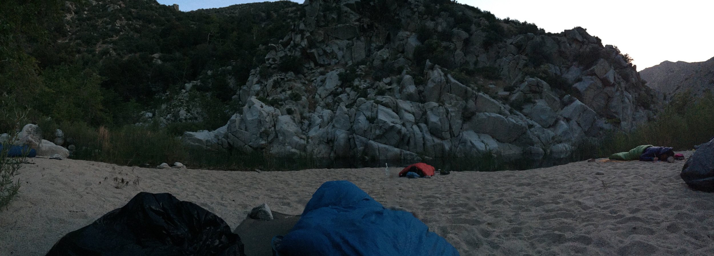
As I approached the third bridge of the day, I looked down at a beach area to find Leah, Riley, Alyssa, Viet and Skinny Thor yelling at me that they had found a good spot. This was awesome as I was becoming concerned that the next campsite was 8 miles down the trail (which was published on the Topo Maps).
[wpvideo Dgtte4pM]
As I approached the third bridge of the day, I looked down at a beach area to find Leah, Riley, Alyssa, Viet and Skinny Thor yelling at me that they had found a good spot. This was awesome as I was becoming concerned that the next campsite was 8 miles down the trail (which was published on the Topo Maps).
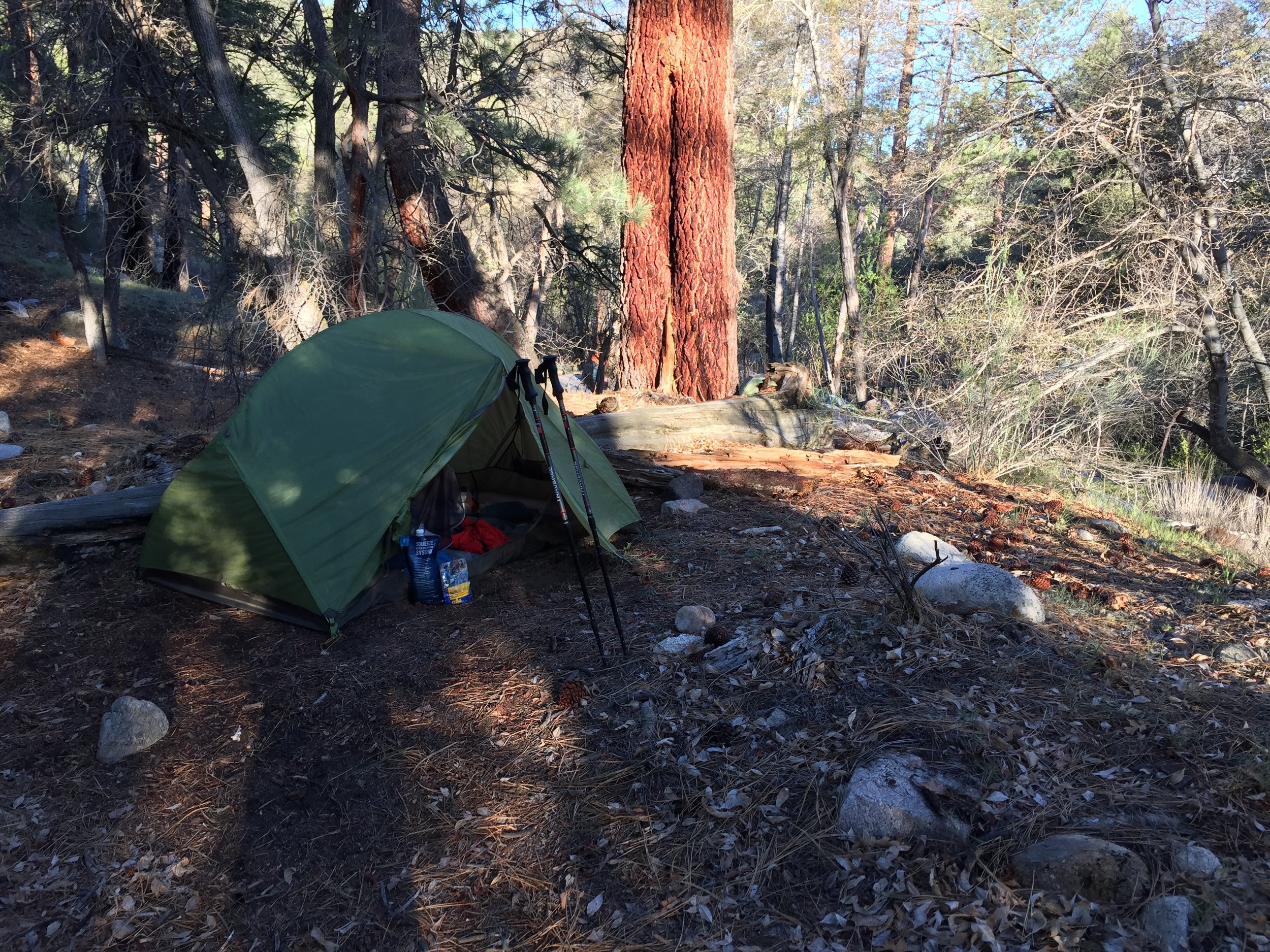
Setup camp, which was easy. Cowboy camping... This will be my first time on the PCT, not including once in San Diego and once at Ziggy and the Bear. They were in town, so I don't count them. It was the same group as last night. It was much warmer than last night, but we are also 2500 feet lower in elevation.

 Took care of the normal chores and worked on this blog till it was dark.
The sound of the river and being able to gaze at the stars is nice.