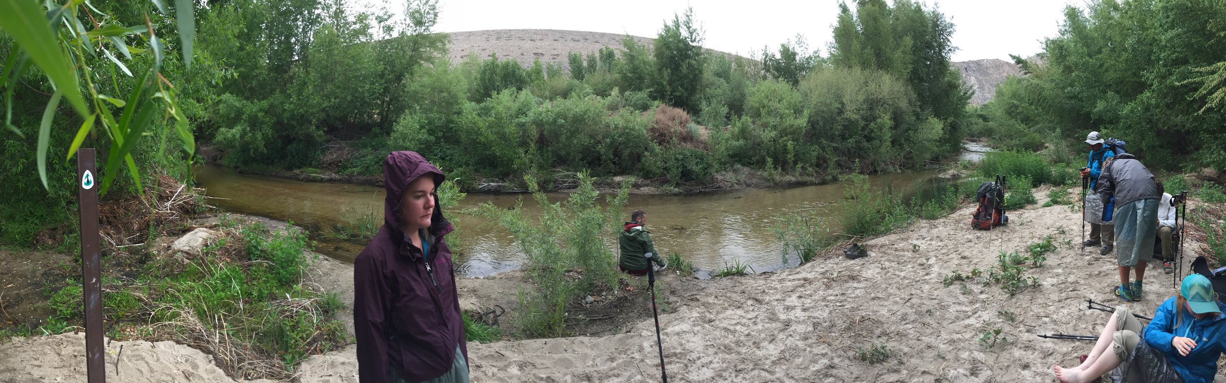
Today I hiked further than any prior day. And I felt it too. The morning started off the same as most. As I was packing up, rain clouds rapidly moved in. I made sure I had all of my rain gear on before leaving camp. The moment I stepped foot on the trail, it started to rain. It did so for the next 20-30 minutes. It wasn't really cold compared to the other days I've seen rain.

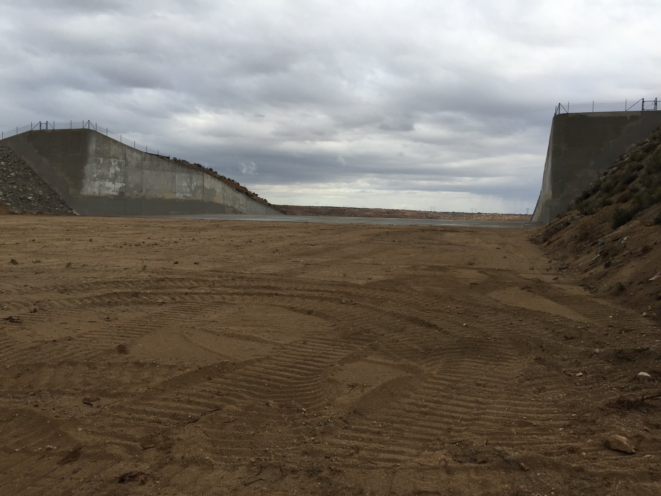
 The first 3 miles flew by. Very easy hiking. I arrive at a spillway. Later I learn it is there to help direct water flow if the upper dam breaks. When making a sound in the middle of its walls, it created a very long echo.

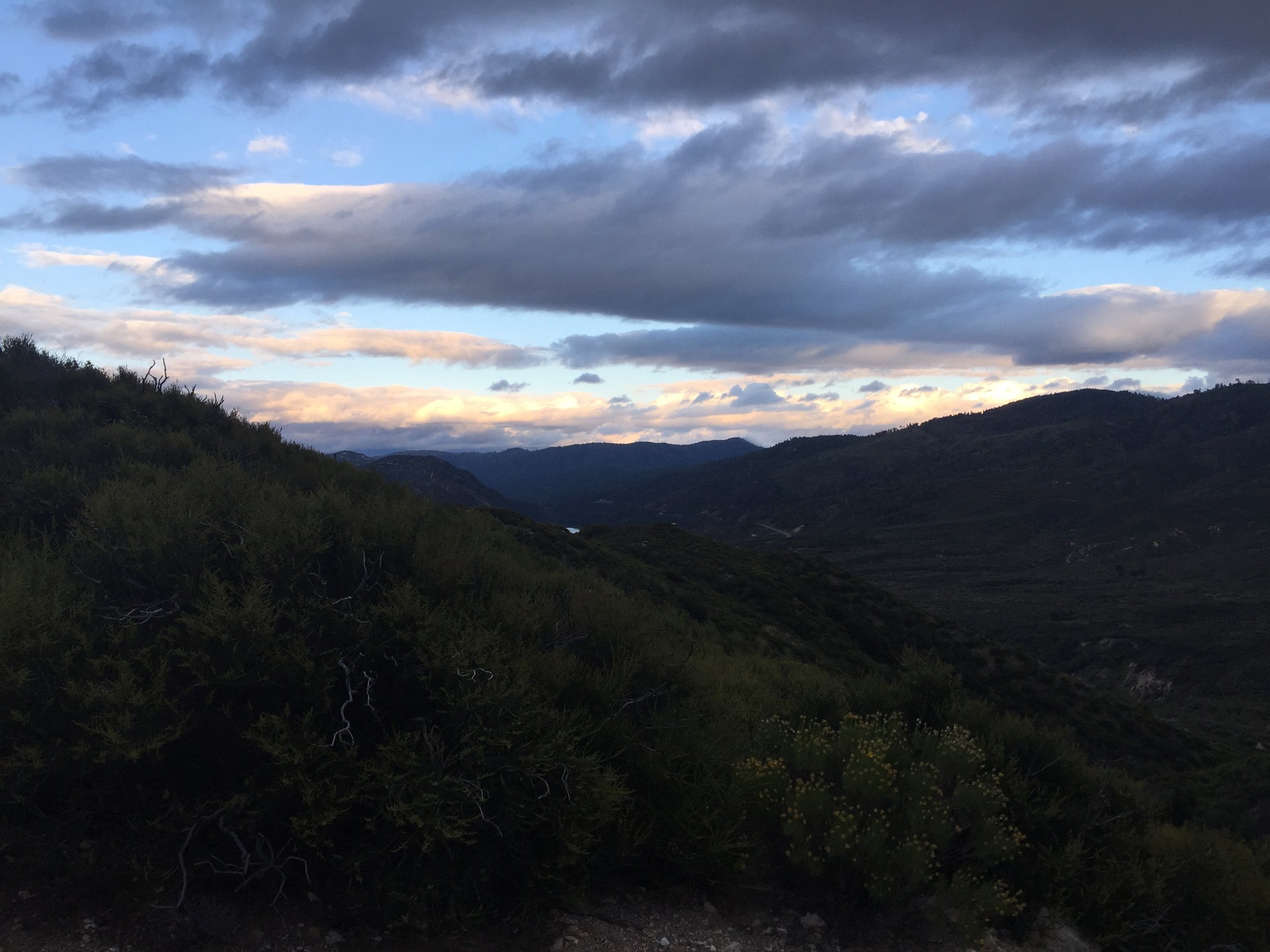
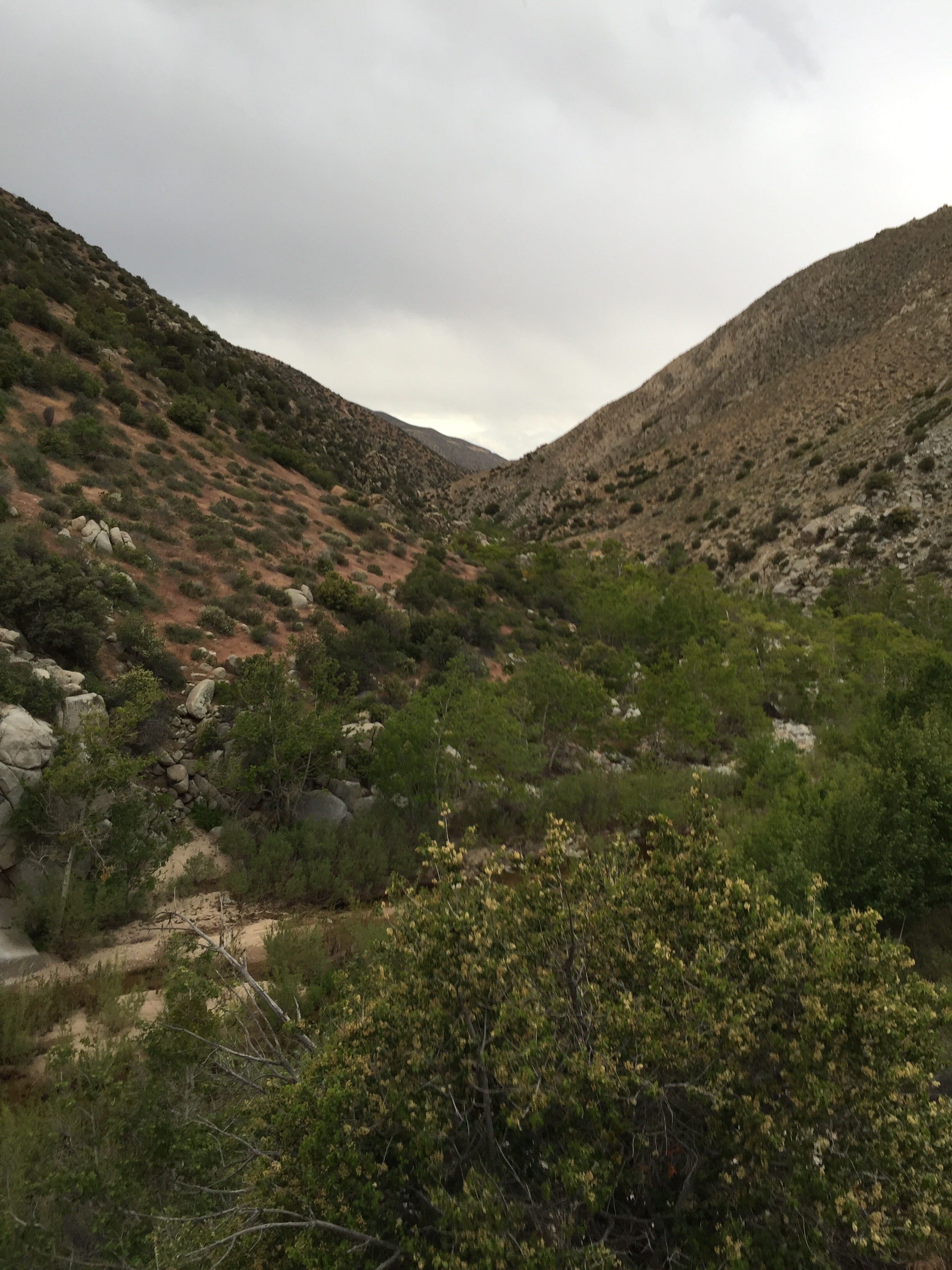
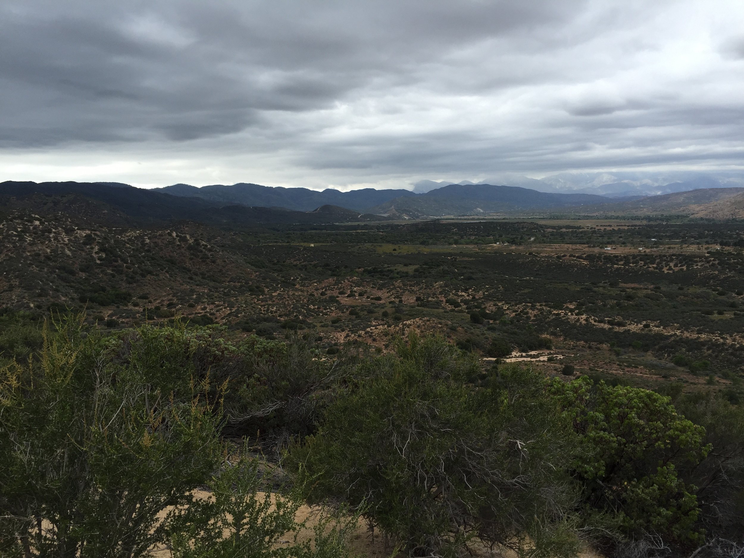
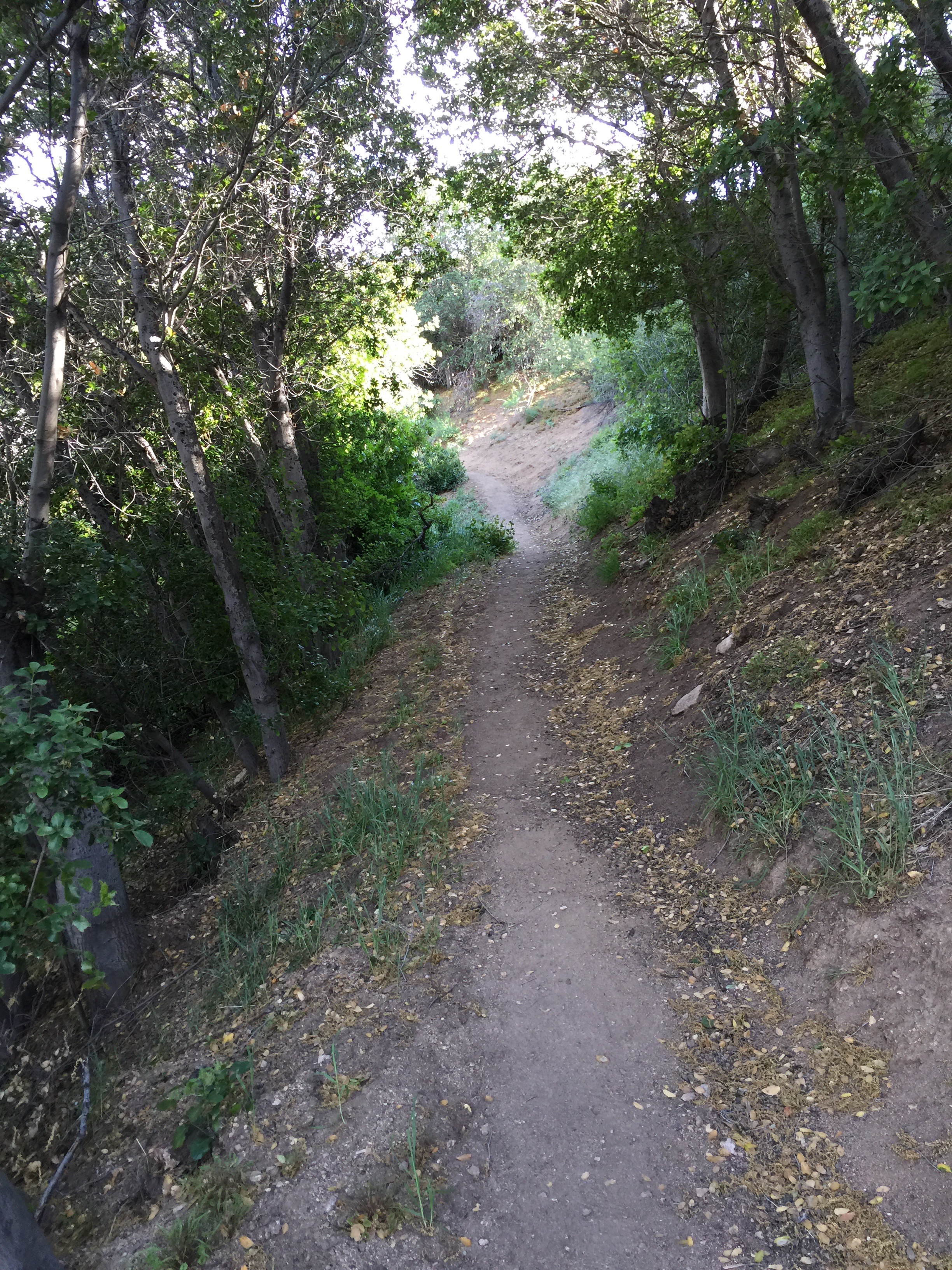
 The PCT is all about traversing the hillsides. In doing so, it weaves in and out of every little hillside valley. This provides hikers with views that seem to change after ever turn of a corner. So I took a lot of photos.


 I was needing water around mile 317. There was a campground with water 3/4 mile on a side trail. I tried going there, but the trail was very poorly marked and turns into a vast area of paths that could be the trail. I decided it wasn't worth getting lost and I really needed water after about an hour of wondering around. If say I walked at least 1.5 miles during this time.
 Walked back on the PCT and literally .3 miles later was a good water source. Feeling a little frustrated I refilled with a couple liters of water and stretched a bit. Feeling better I marched on.
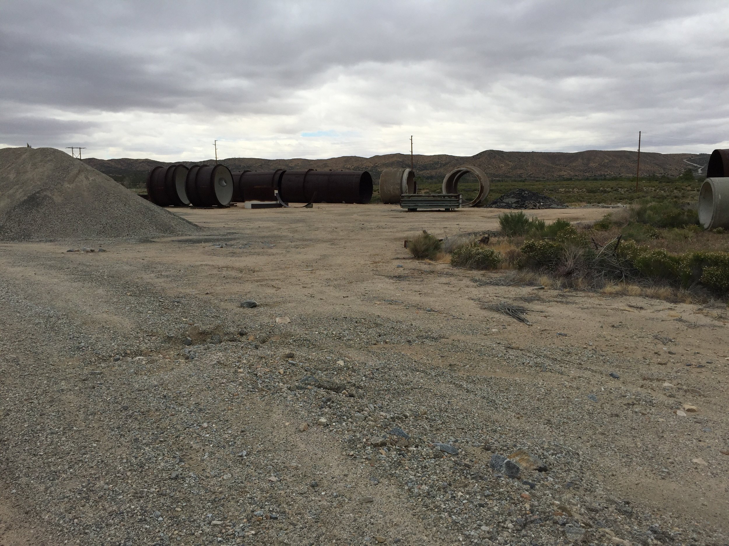
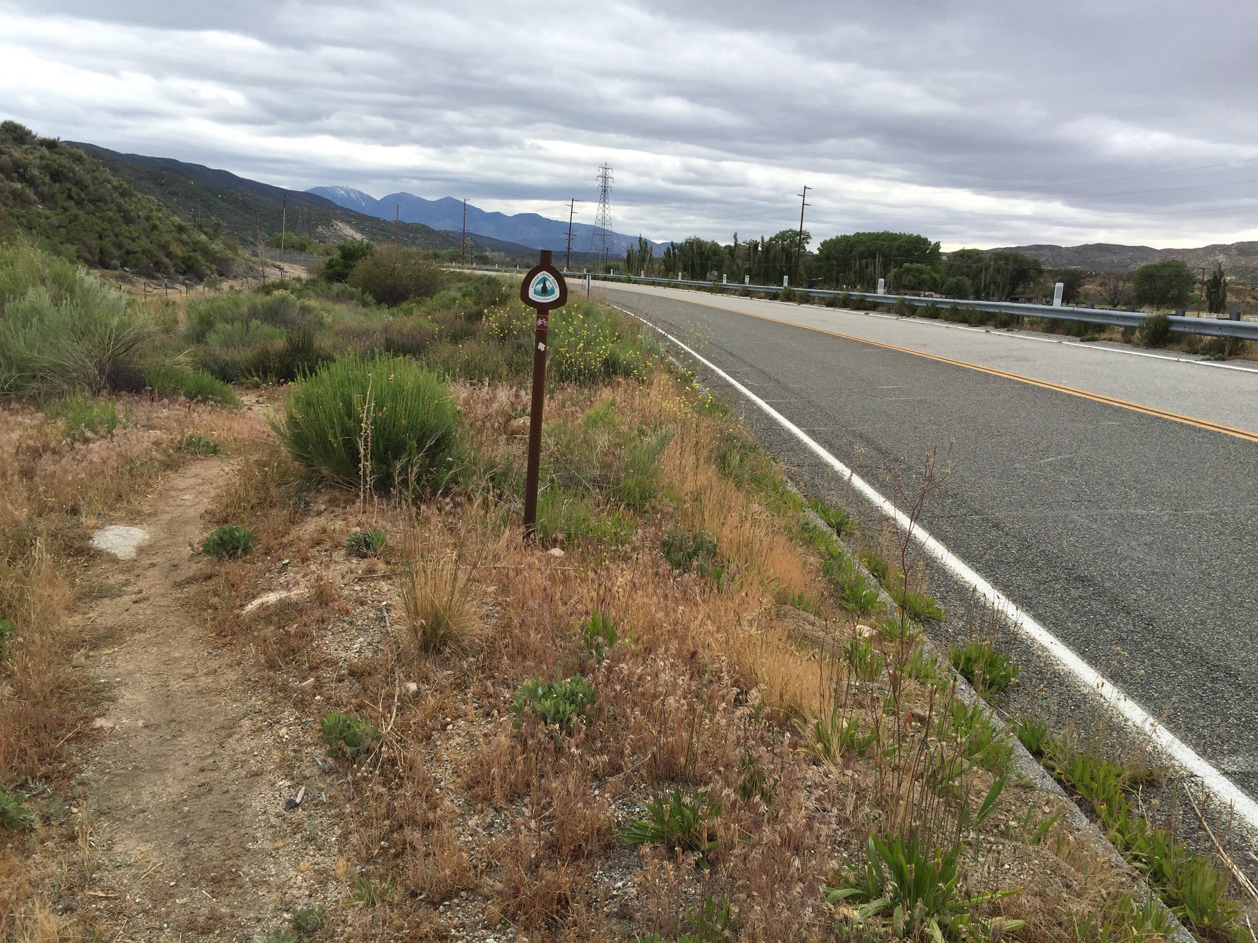
The trail passes by a gravel yard and a power station, both of which are alongside a paved roadway.
Walked back on the PCT and literally .3 miles later was a good water source. Feeling a little frustrated I refilled with a couple liters of water and stretched a bit. Feeling better I marched on.
The trail passes by a gravel yard and a power station, both of which are alongside a paved roadway.
 A short while later it goes up onto the ridge surrounding a lake (all created from the dam). It was pretty cool sight.


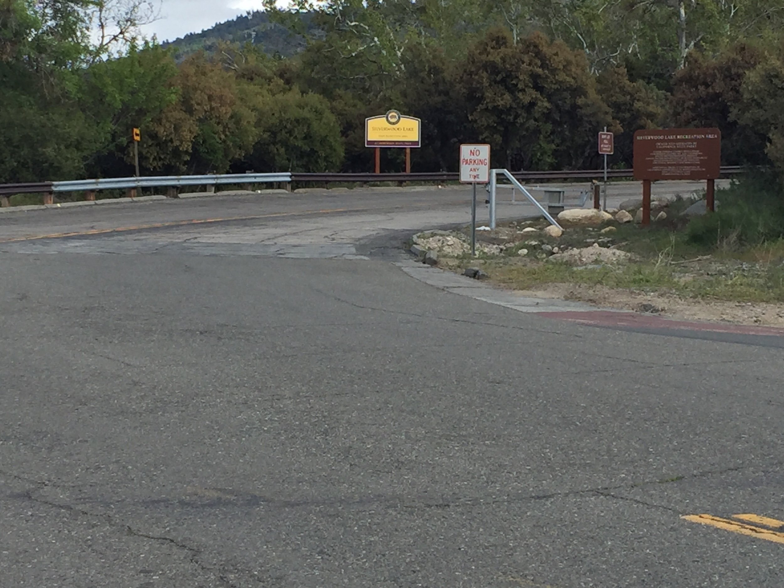
 The trail walks the half of the lakes edge. At the far end , before it heads back into the hills, it comes to a state park (mile 328ish). Here I expected to see the group I'd been hiking with for the past few days. Unfortunately I did not.
I had two choices. One, I could wait for Anna and Alex who where behind me 30-60 minutes (according to one of the other hikers I ran into). Or two, I could continue on and select a site a little ways out of the public park.
The trail walks the half of the lakes edge. At the far end , before it heads back into the hills, it comes to a state park (mile 328ish). Here I expected to see the group I'd been hiking with for the past few days. Unfortunately I did not.
I had two choices. One, I could wait for Anna and Alex who where behind me 30-60 minutes (according to one of the other hikers I ran into). Or two, I could continue on and select a site a little ways out of the public park.

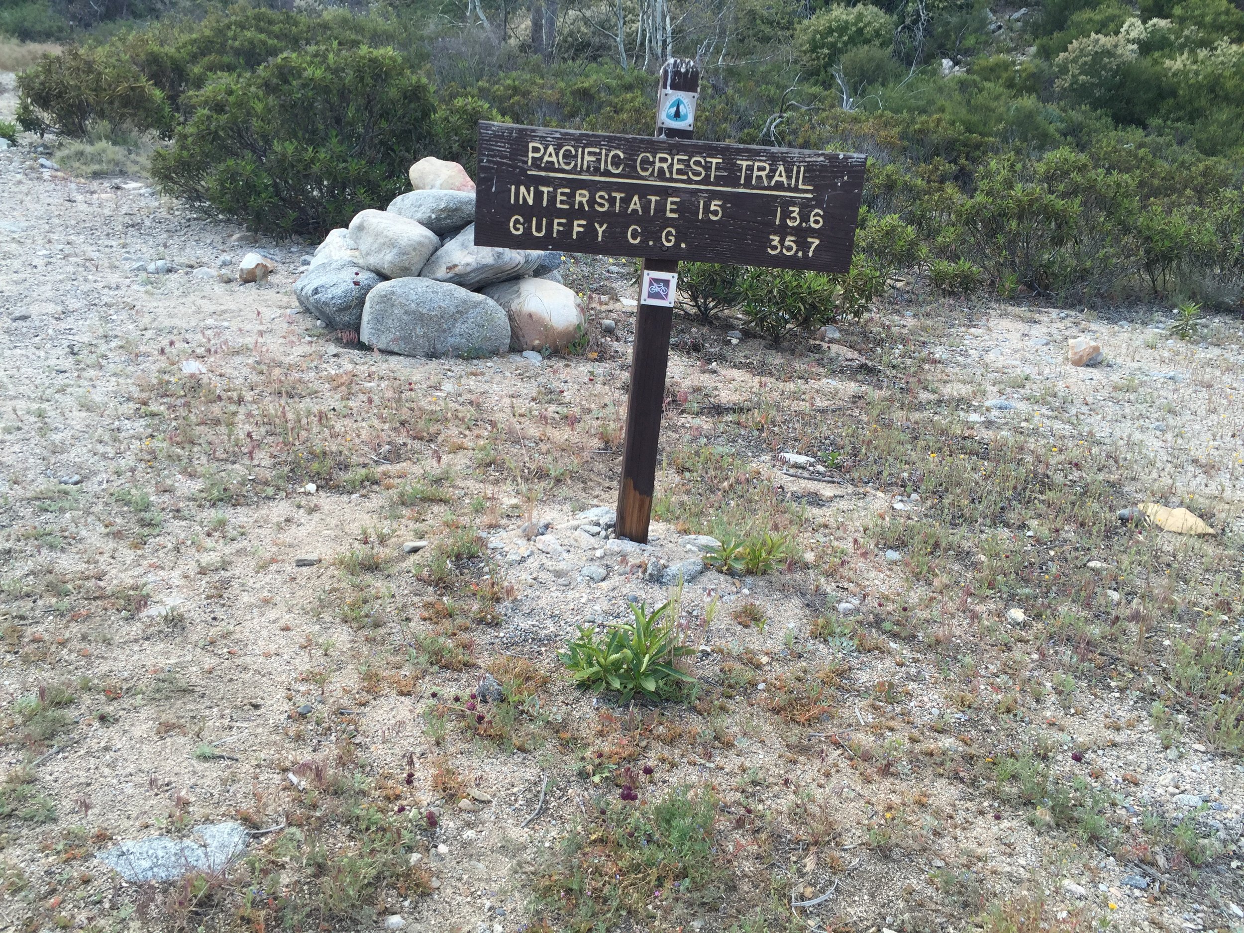
 I chose the second and it kicked my ass. It started off with a gentle slope which I thought I could find a nice campsite. It was covered in dense vegetation. So I slowly continued, and the slope got steeper and steeper. To the point of where there weren't any plants, it was a cliff. I hiked 2.8 miles past the state park (a point where I was already mentally ready to setup camp. That's 2.8 less miles to the McDonald's tomorrow. I can't wait.