• Northern Colorado Trail
    • NOCO Trail 2024
    • NOCO Trail Blog Overview
    • Colorado Trail 2023
    • CT Blog Overview
    • CDT 2021
    • CDT Blog Overview
    • Gear
    • AT 2018
    • AT Blog Overview
    • Gear
    • PCT 2016
    • PCT Blog Overview
    • Gear
    • Grays and Torreys
    • Bierstadt - Sawtooth - Evans
    • Long's Peak
    • Belford - Oxford - Missouri
    • Bierstadt
    • DeCaLiBron
    • Quandary Peak
    • Mount of the Holy Cross
    • BroLiDemCam
    • Elbert - Massive
    • La Plata
  • Off-Trail Gallery
    • Bierstadt Bloody Knee
    • PCT2016 Blister
    • About
    • Contact
Menu

Long Trails

All About The Adventure
  • Northern Colorado Trail
    • Northern Colorado Trail
    • NOCO Trail 2024
    • NOCO Trail Blog Overview
  • Colorado Trail
    • Colorado Trail 2023
    • CT Blog Overview
  • Continental Divide Trail
    • CDT 2021
    • CDT Blog Overview
    • Gear
  • Appalachian Trail
    • AT 2018
    • AT Blog Overview
    • Gear
  • Pacific Crest Trail
    • PCT 2016
    • PCT Blog Overview
    • Gear
  • 14ers
    • Grays and Torreys
    • Bierstadt - Sawtooth - Evans
    • Long's Peak
    • Belford - Oxford - Missouri
    • Bierstadt
    • DeCaLiBron
    • Quandary Peak
    • Mount of the Holy Cross
    • BroLiDemCam
    • Elbert - Massive
    • La Plata
  • Off-Trail Gallery
  • Bloody Pictures
    • Bierstadt Bloody Knee
    • PCT2016 Blister
  • Info
    • About
    • Contact
×

Day 68 - PCT, The Stream Trail. 996.1 (18.7)

Kevin Silvernale December 26, 2016

Not everyday of hiking is equal (as you've most likely figured out by now). Today was up there in terms of enjoyment on the Trail.  Though a bit longer miles wise, tomorrow will be fairly short because of the extra effort.

I woke up and was the most comfortable, in my sleeping bag, I've been in a long time.  All despite having a flat sleeping pad...

The whole I patched last night wasn't the only one.  But I couldn't find the other pin head sized holes till it was light out.  I ended up making all the repairs during lunch.

I took my time packing up camp, relaxed and chatted for a while with Christopher, a thru hiker I'd met a couple days ago.  Once on the trail, the snow quickly tapered off as I lost more and more elevation.  This made me very happy.  At this time, I was starting to get really tired of snow.

Kerrick Creek was today's first of many water crossings.  Reports have said this is the hardest crossing on the PCT.  At this point, I stopped trusting reports and chose to see the conditions for myself.  Kerrick was no worse than any other crossings.  In fact, 1/4 mile down stream there was a log Christopher found to cross on.  Though the vertigo hit hard mid log, I and many others were able to cross without getting wet.  Others found a crossing through the Creek that wasn't so bad, and was closer to the trail.

The last 10 miles of the day consisted of a VERY gradual uphill.  1500 feet in 10 miles make the trail seem as though it was flat.  For the last 6 miles of the day the trail was little more than a stream.  Water every which way I turned started to take a toll on my mind.  I listened to some JRE podcast which helped pass the tough miles.

Camp and sunset were breathtaking.

8304.JPG
8305.JPG
8307.JPG
8308.JPG
8309.JPG
8310.JPG
8311.JPG
8314.JPG
8315.JPG
8320.JPG
8322.JPG
8323.JPG
8324.JPG
8327.JPG
8328.JPG
8329.JPG
In Pacific Crest Trail Tags Kerrick Creek, Sierra Nevada, Pct, pacific crest trail
Comment

Day 67 - Benson and Seavey Passes. 977.4 (17.5)

Kevin Silvernale December 24, 2016

I decided to wake up early once more to catch the snow when it was nice and icy.  This makes the snow much easier to walk on.  My thermometer read 20 degrees and I believed it.  My rain fly had a solid coating of ice and my shoes were bricks.  Everything was frozen, but I was warm in my sleeping bag that I didn't want to get out of.  With the nearby hills killing any prospect of receiving some early morning sunlight, I pushed through numb fingers and toes to get out of camp around 7:15 am.

The downhill Mr. Clean and I had to tackle right out of camp was insanely steep!  But with the help of our micro spikes and the cold temperatures, the snow blanketed hillside wasn't too difficult to descend.

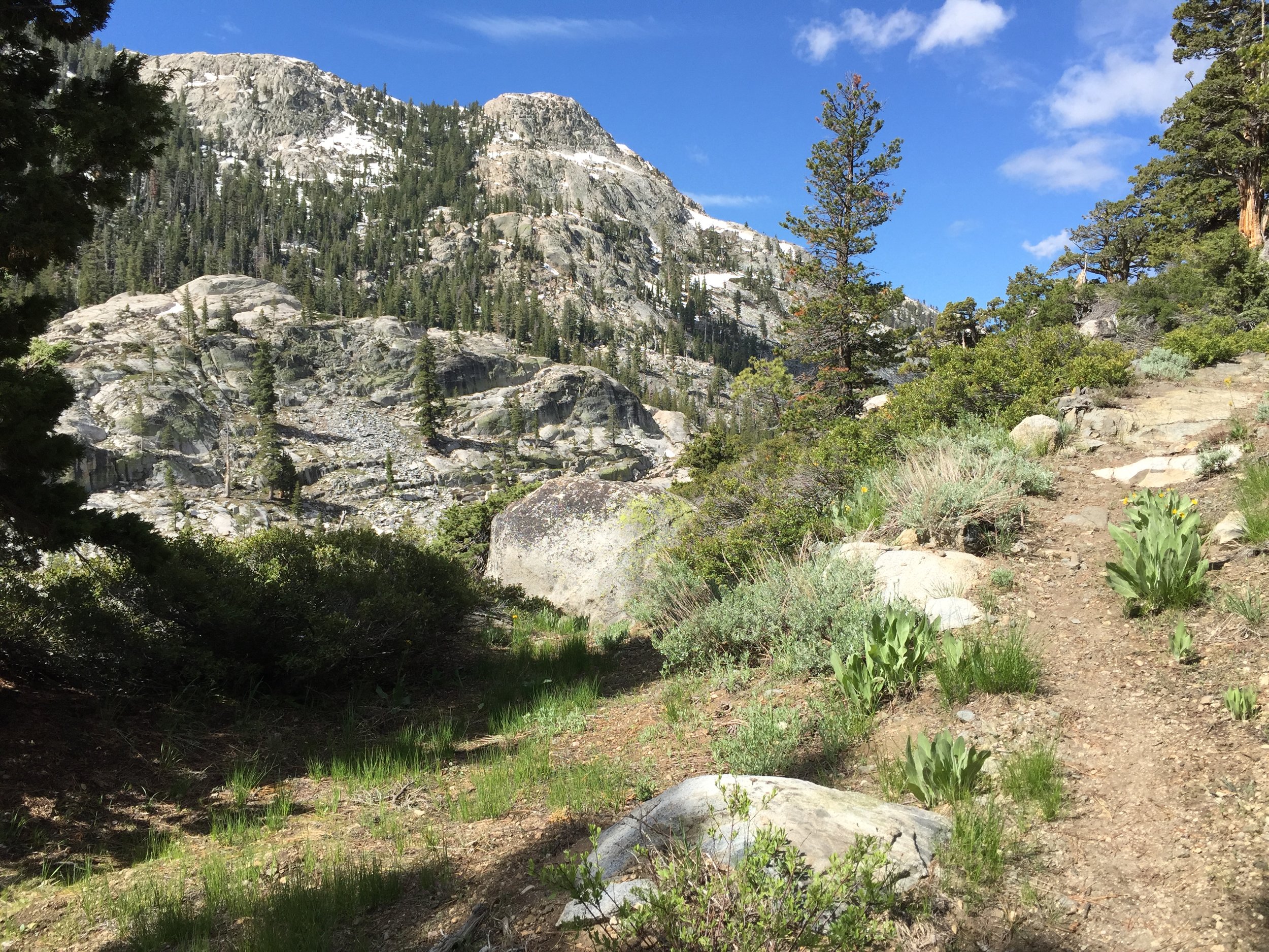
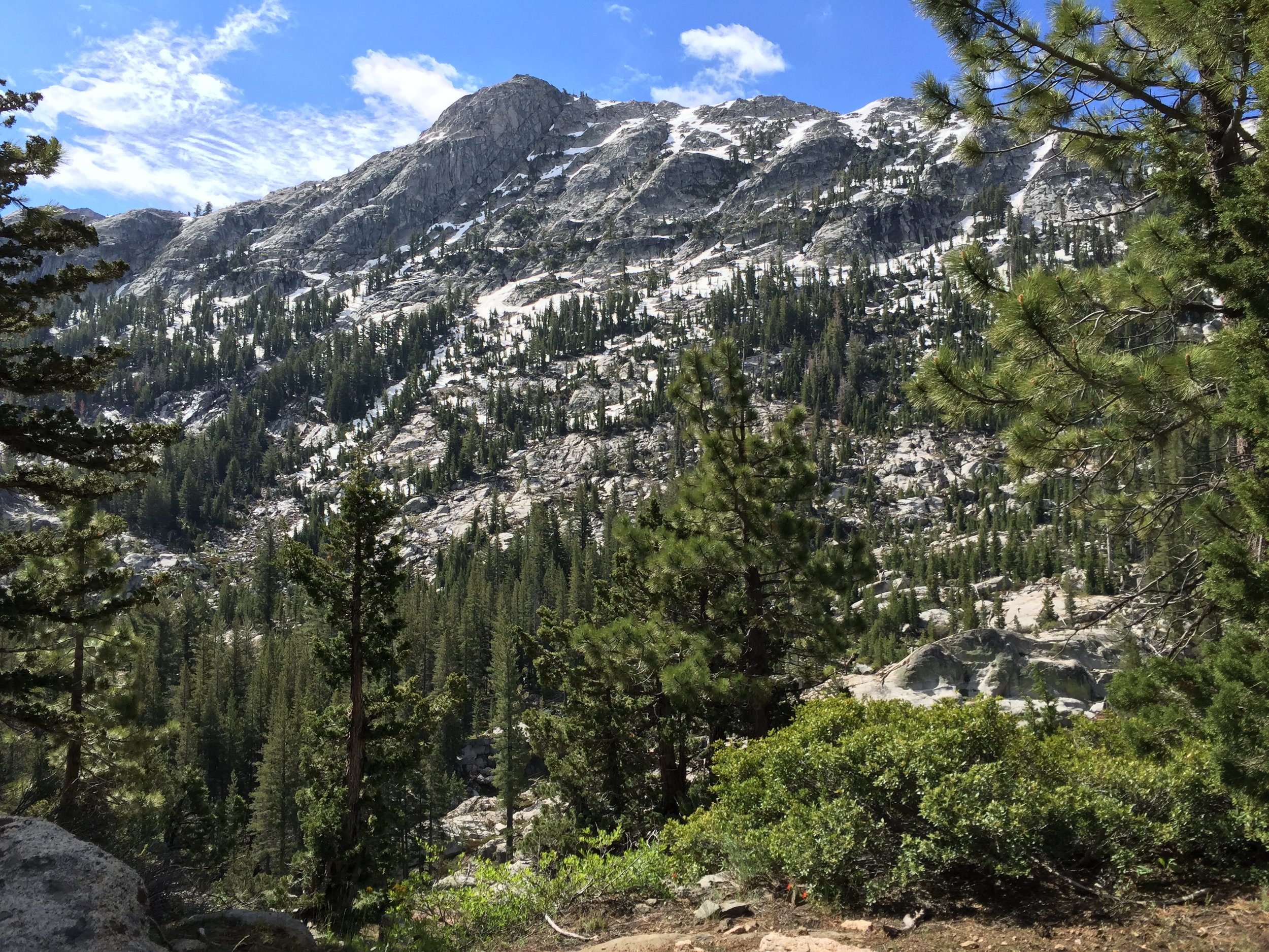
Benson pass was the next challenge.  The trail disappeared during the accent, so I relied mainly on my GPS to navigate up the hillside.  The ascent was filled with slushy snow, prone to post-holing and covered with sun-cups (see picture above).  At the top of Benson Pass, the ground was bear dirt.  A lovely sight after the difficult snow conditions.

The decent was quite difficult as well.  With lots of snow cover and a lack of trail markings, it took 5 of us working together to stay not only on the trail, but to stay on the correct trail.

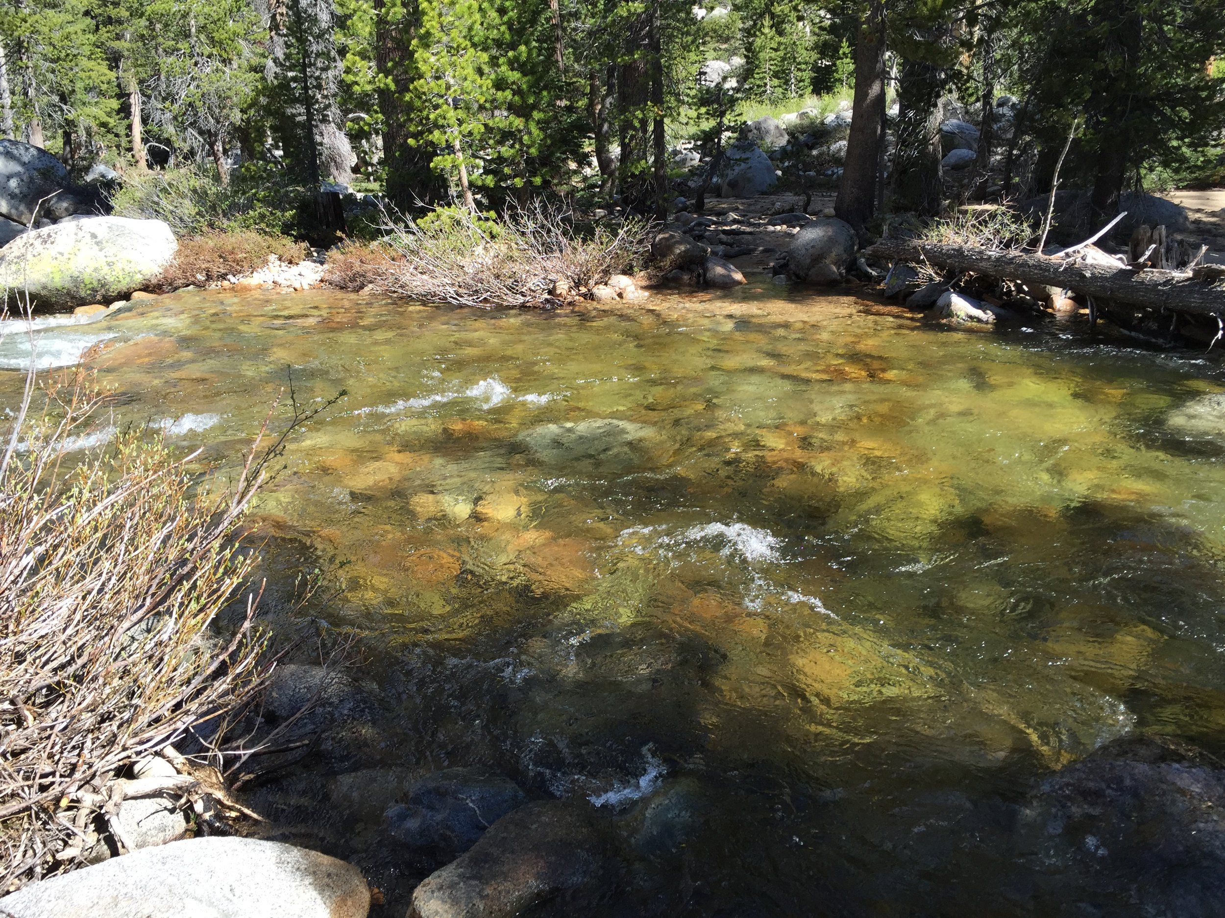
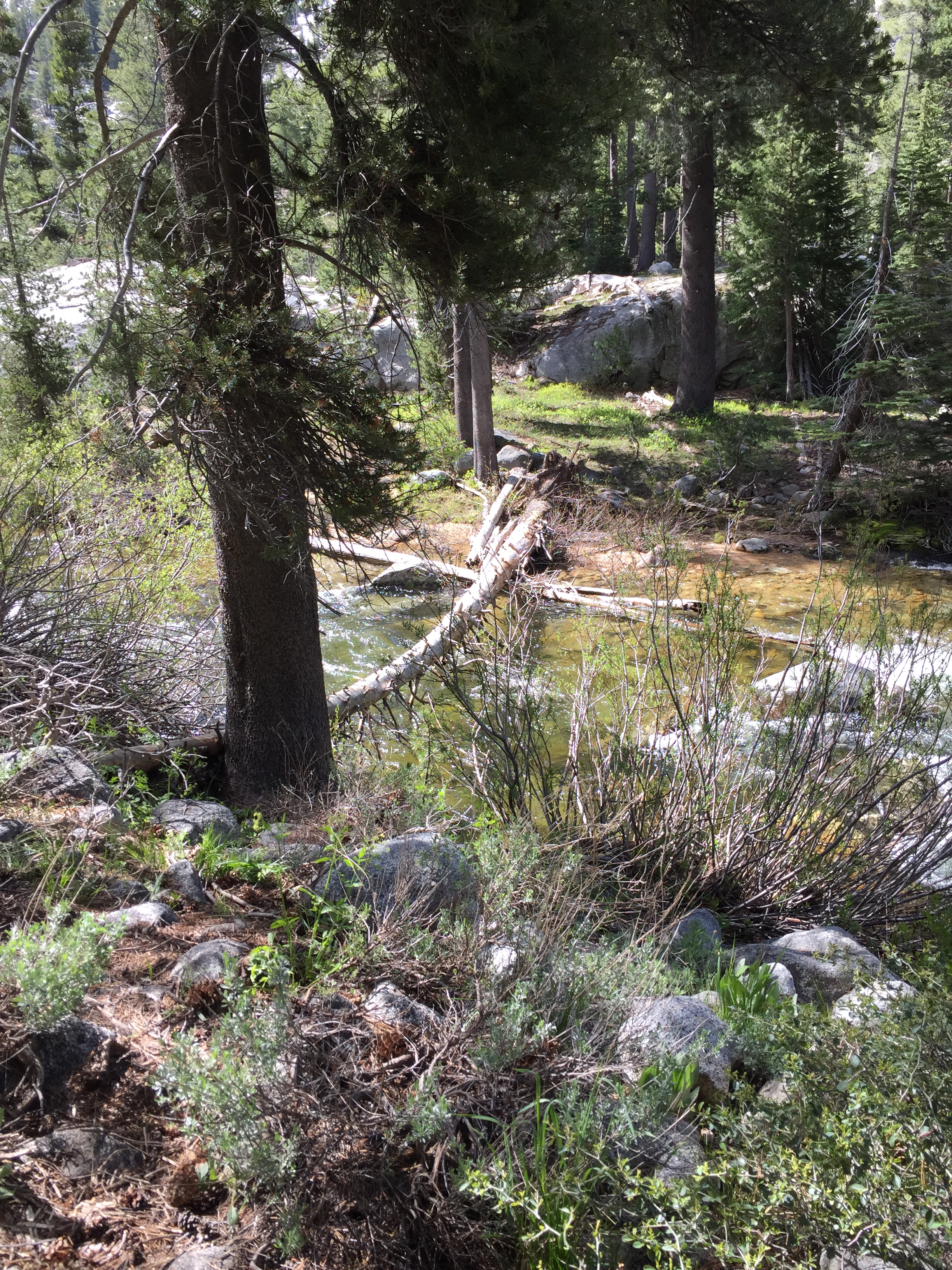
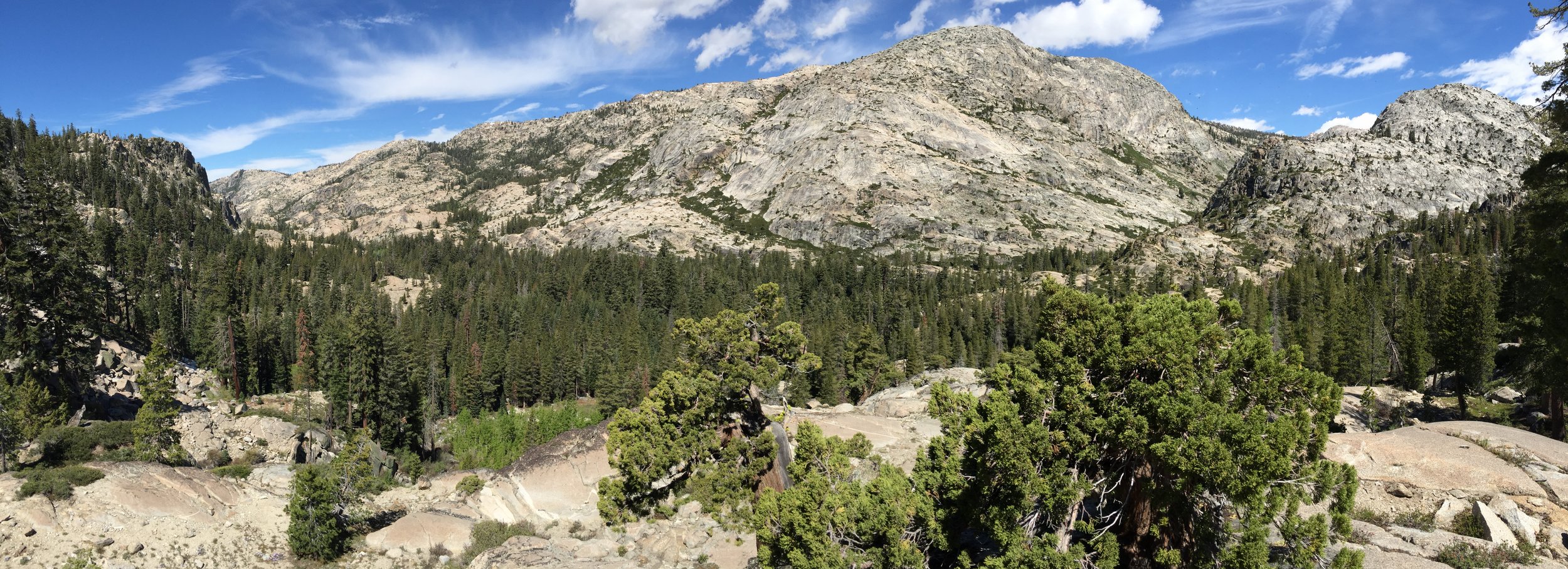
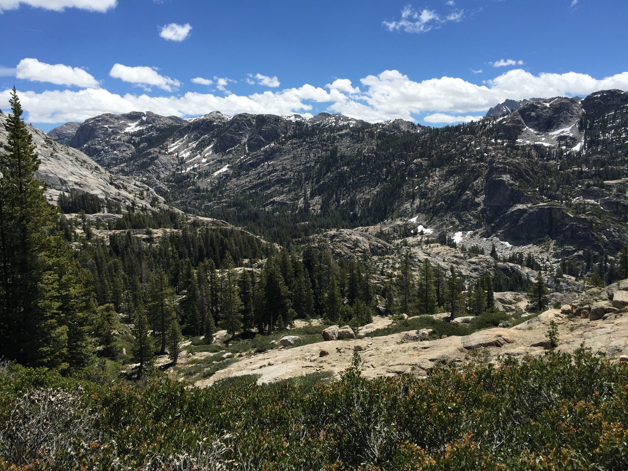
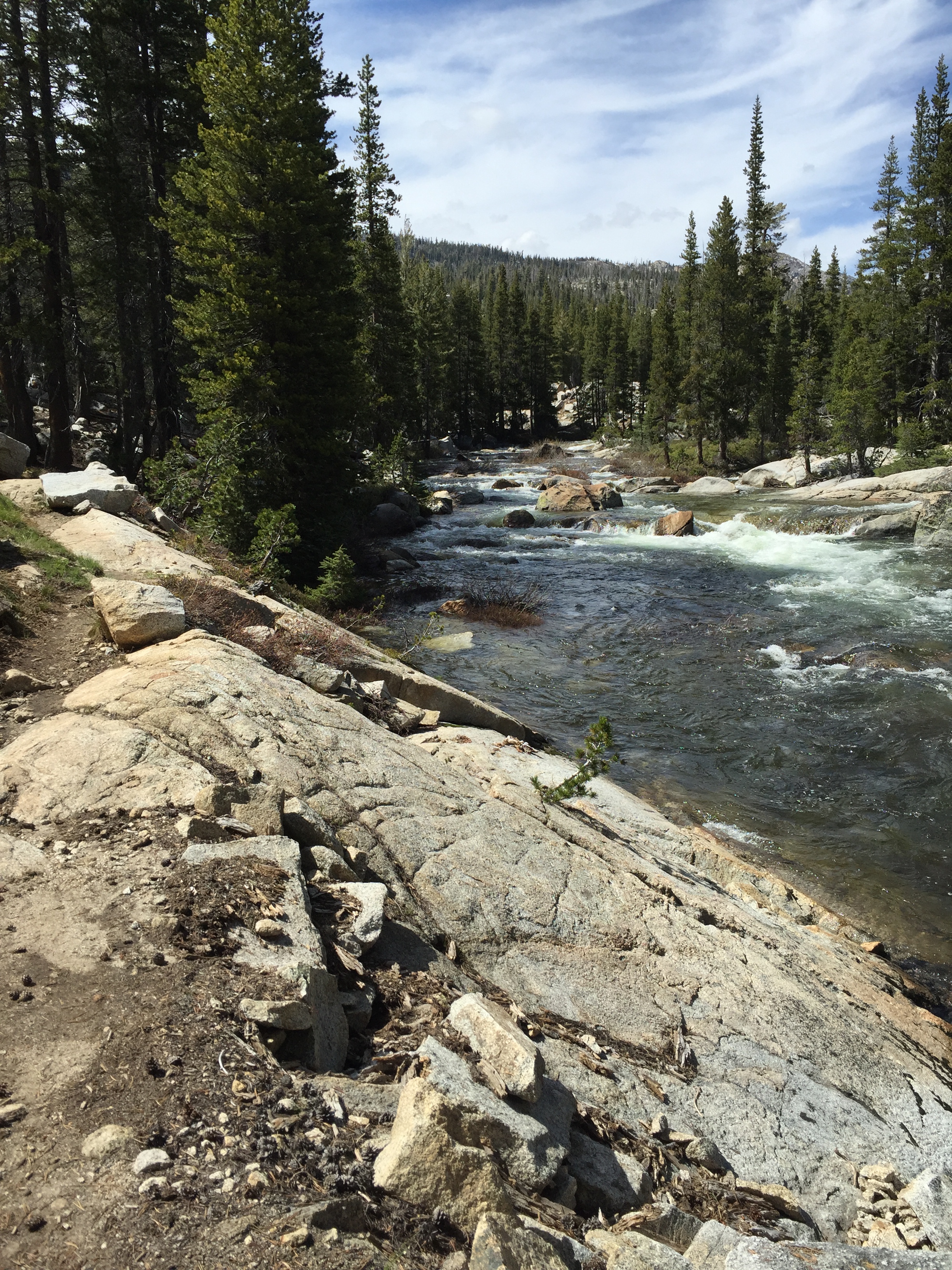
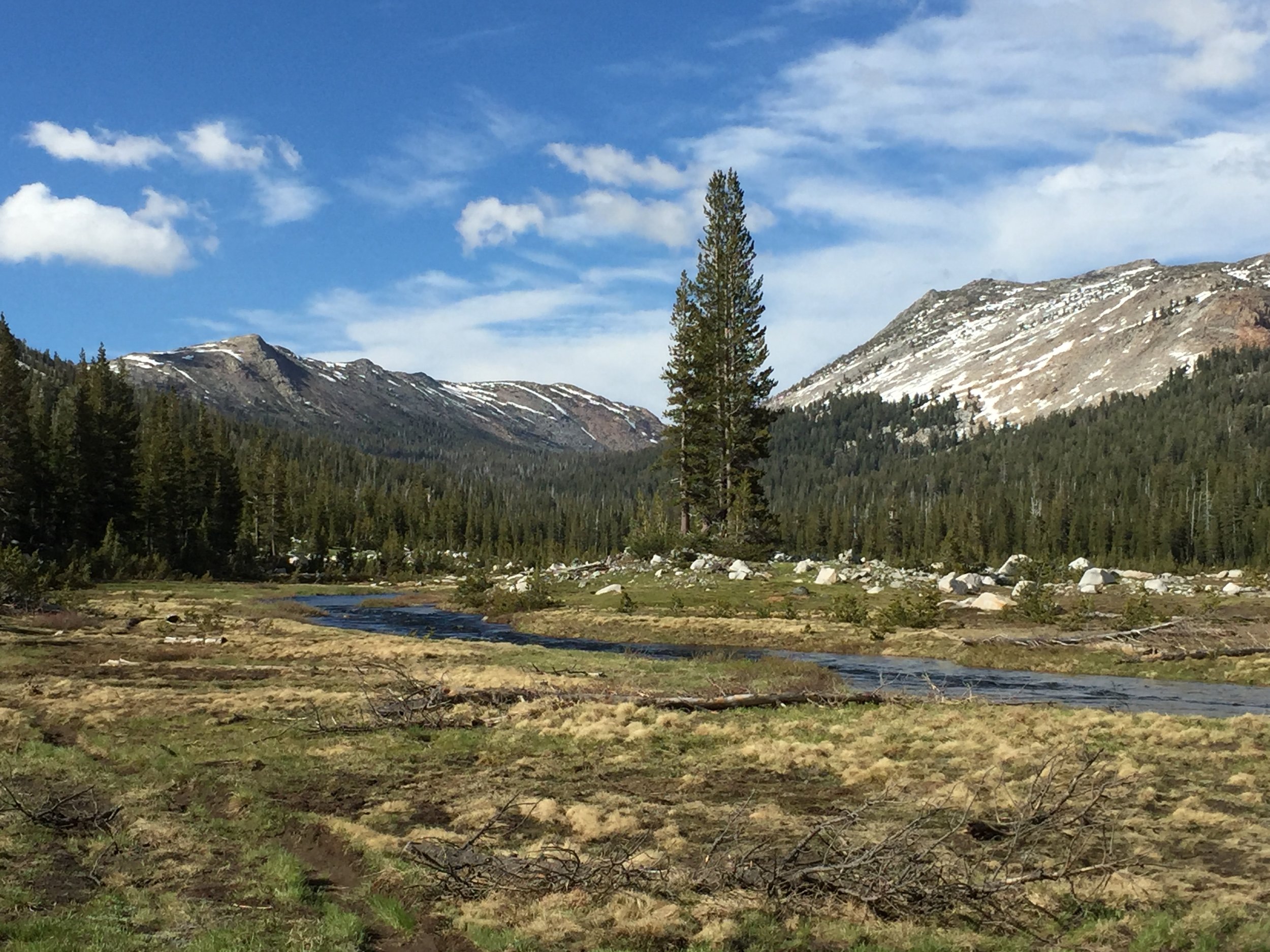
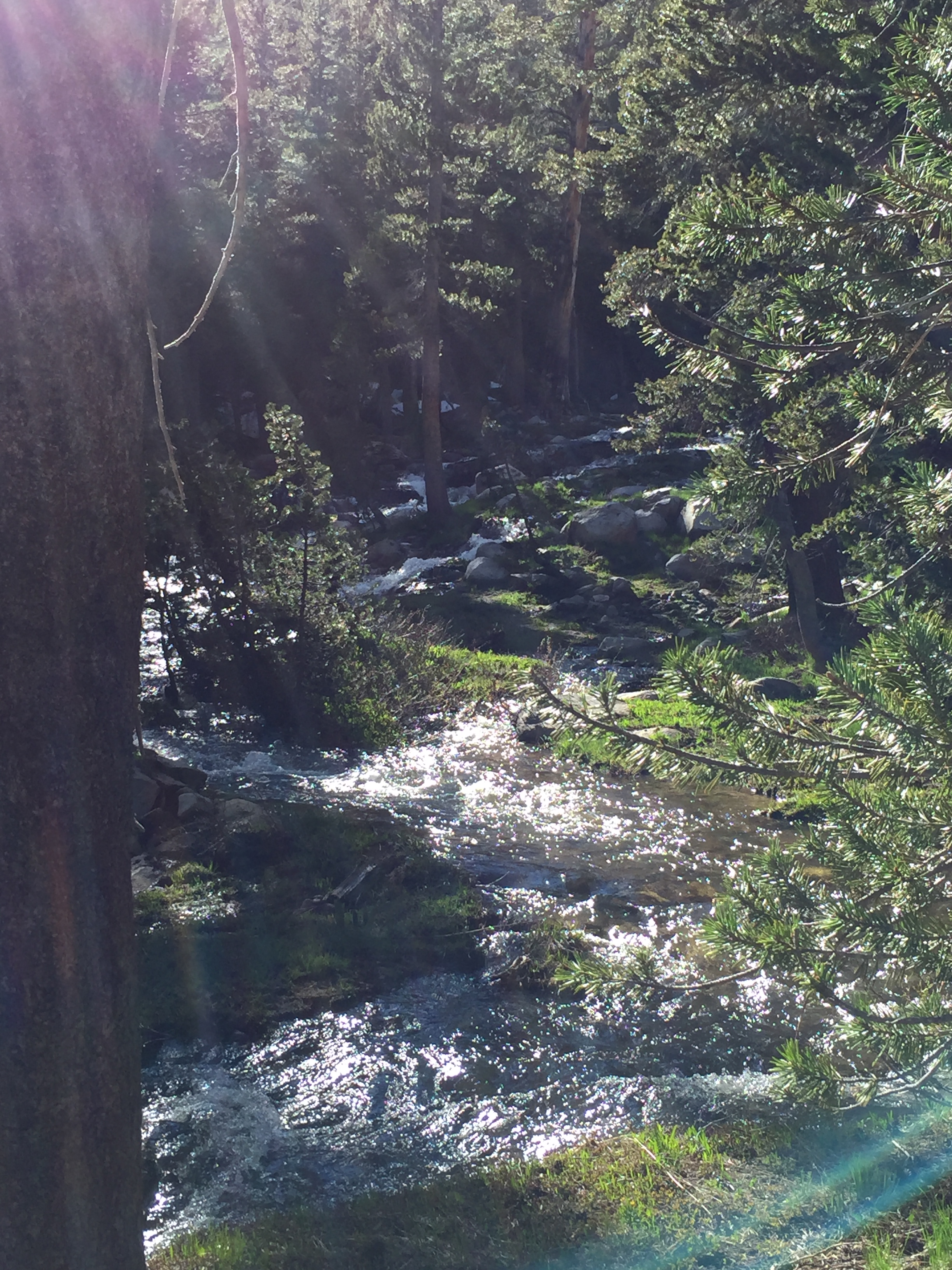
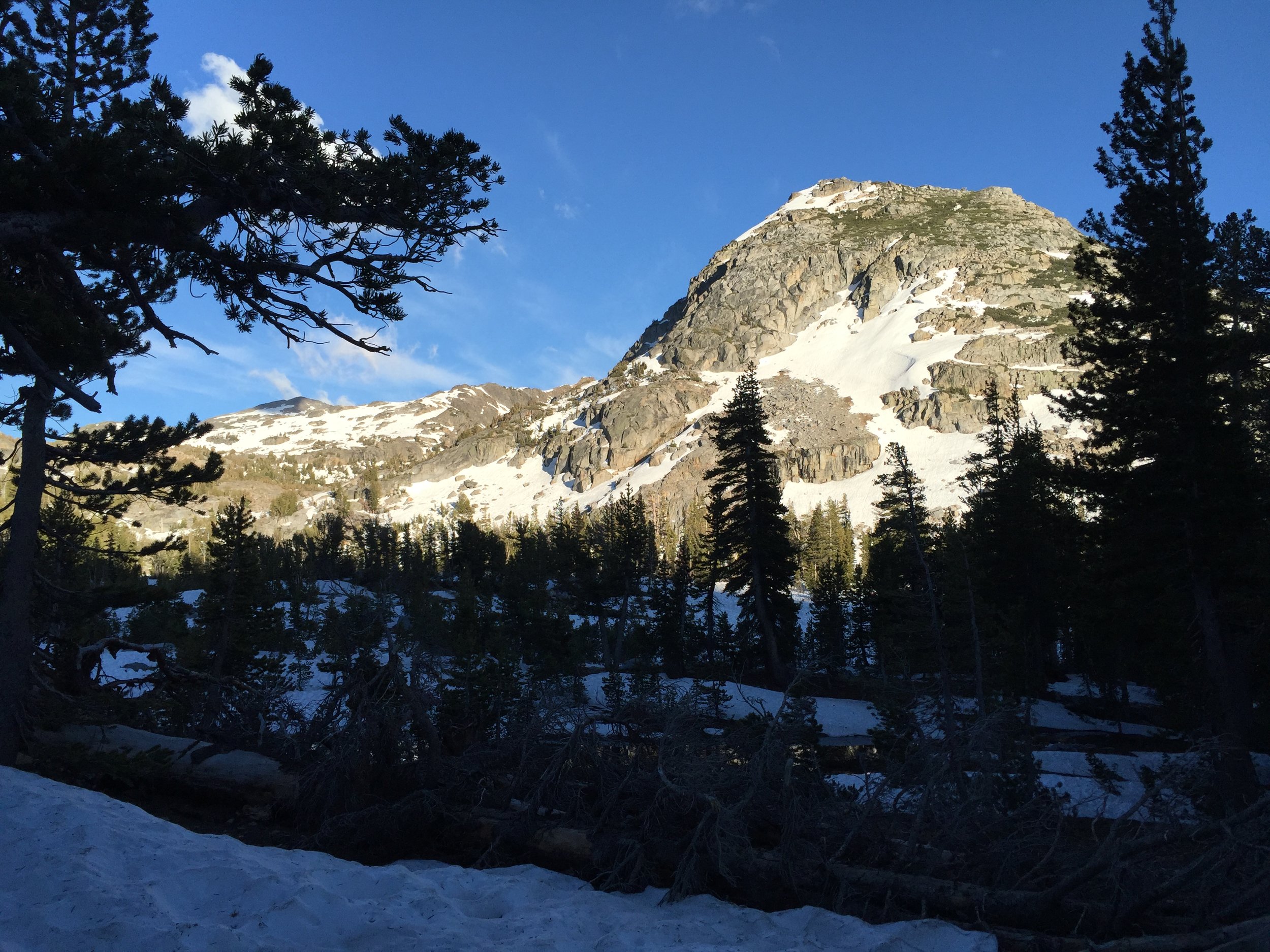
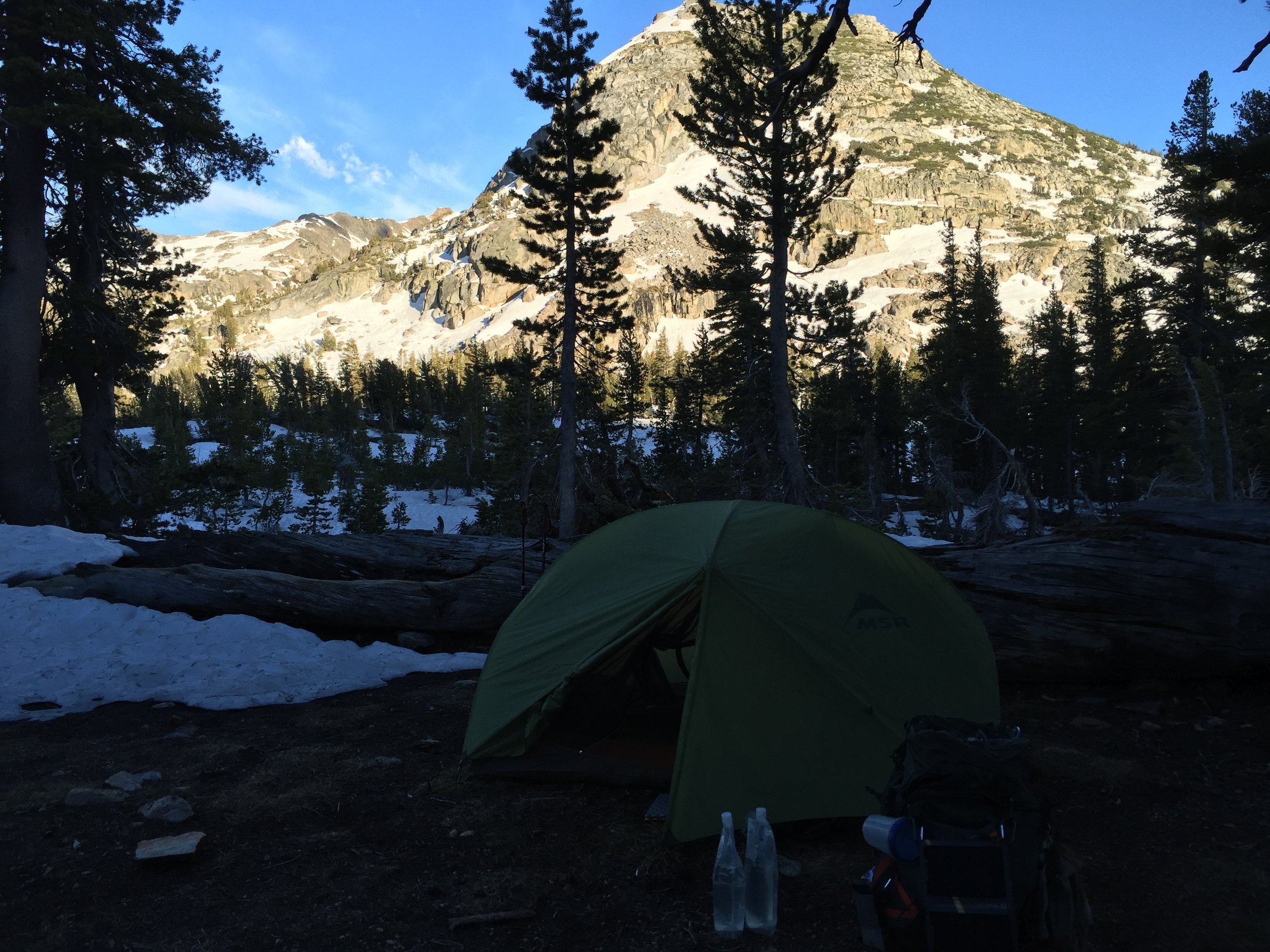
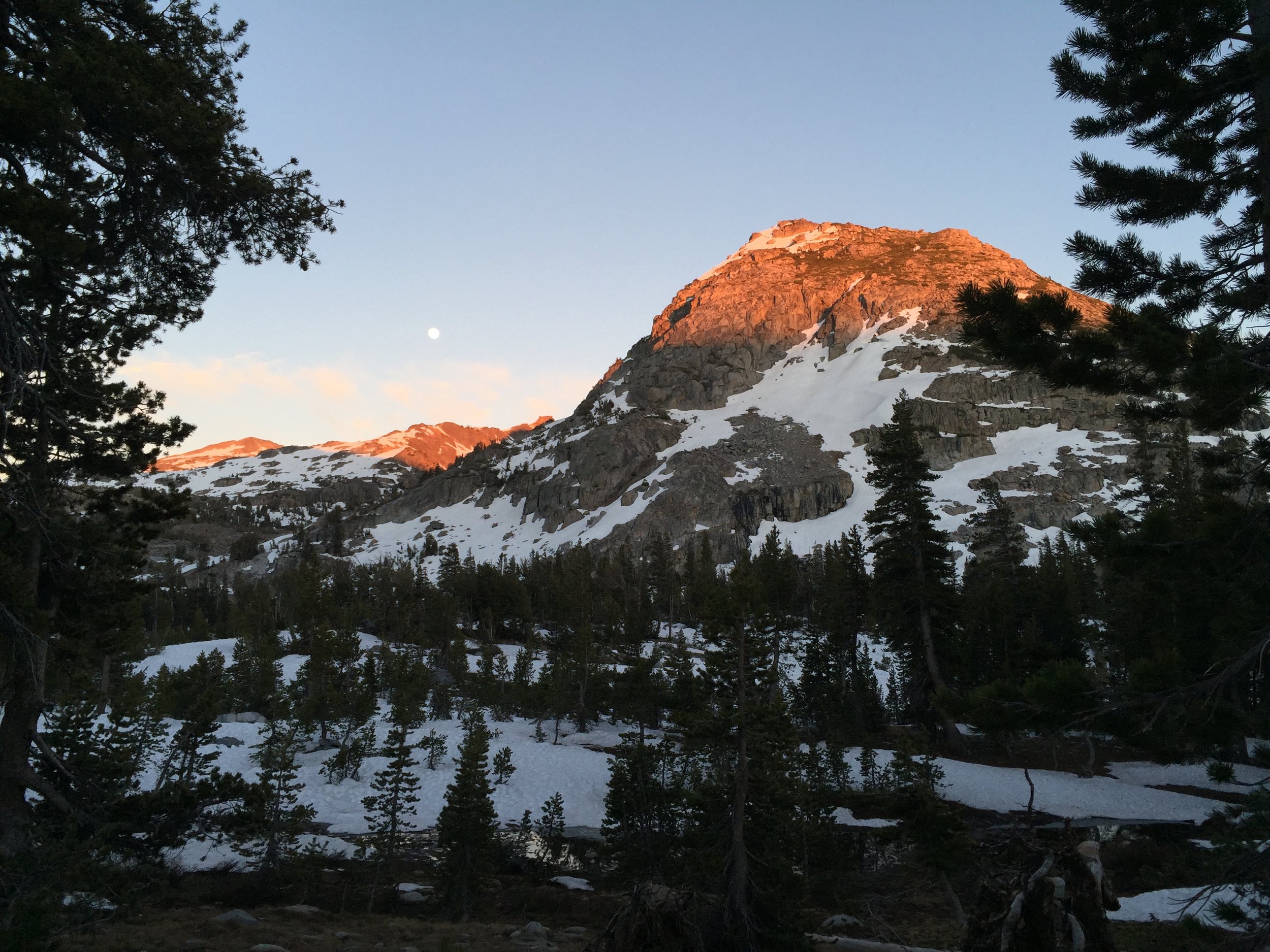
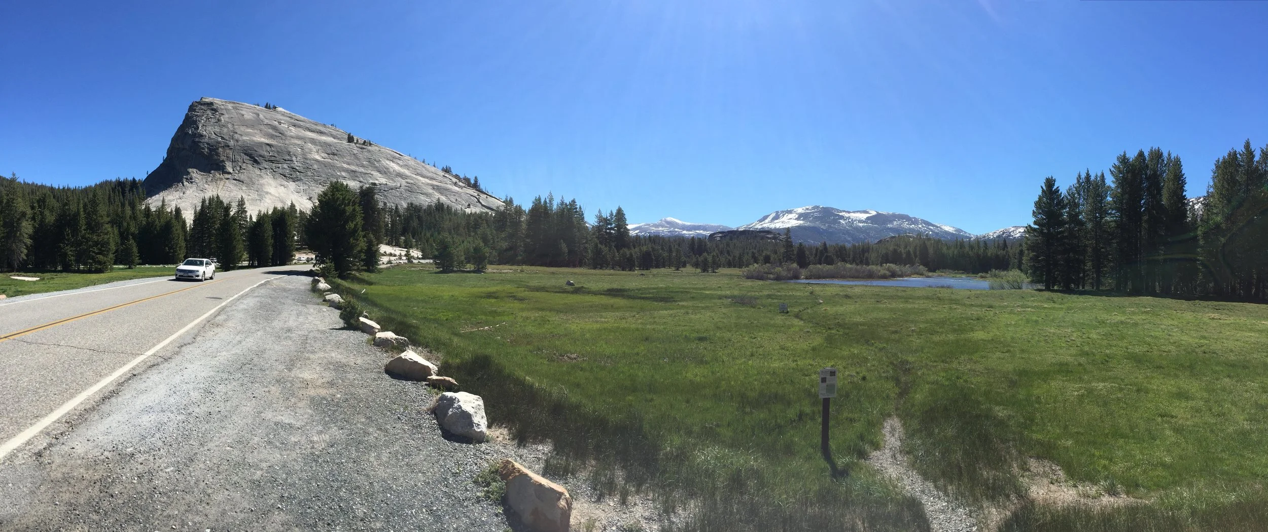
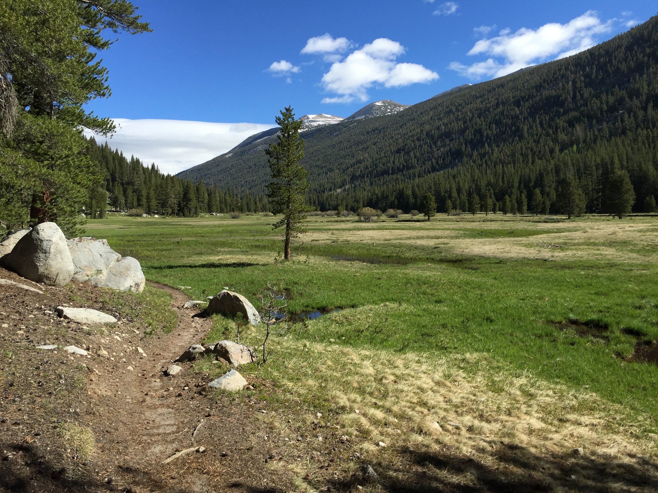
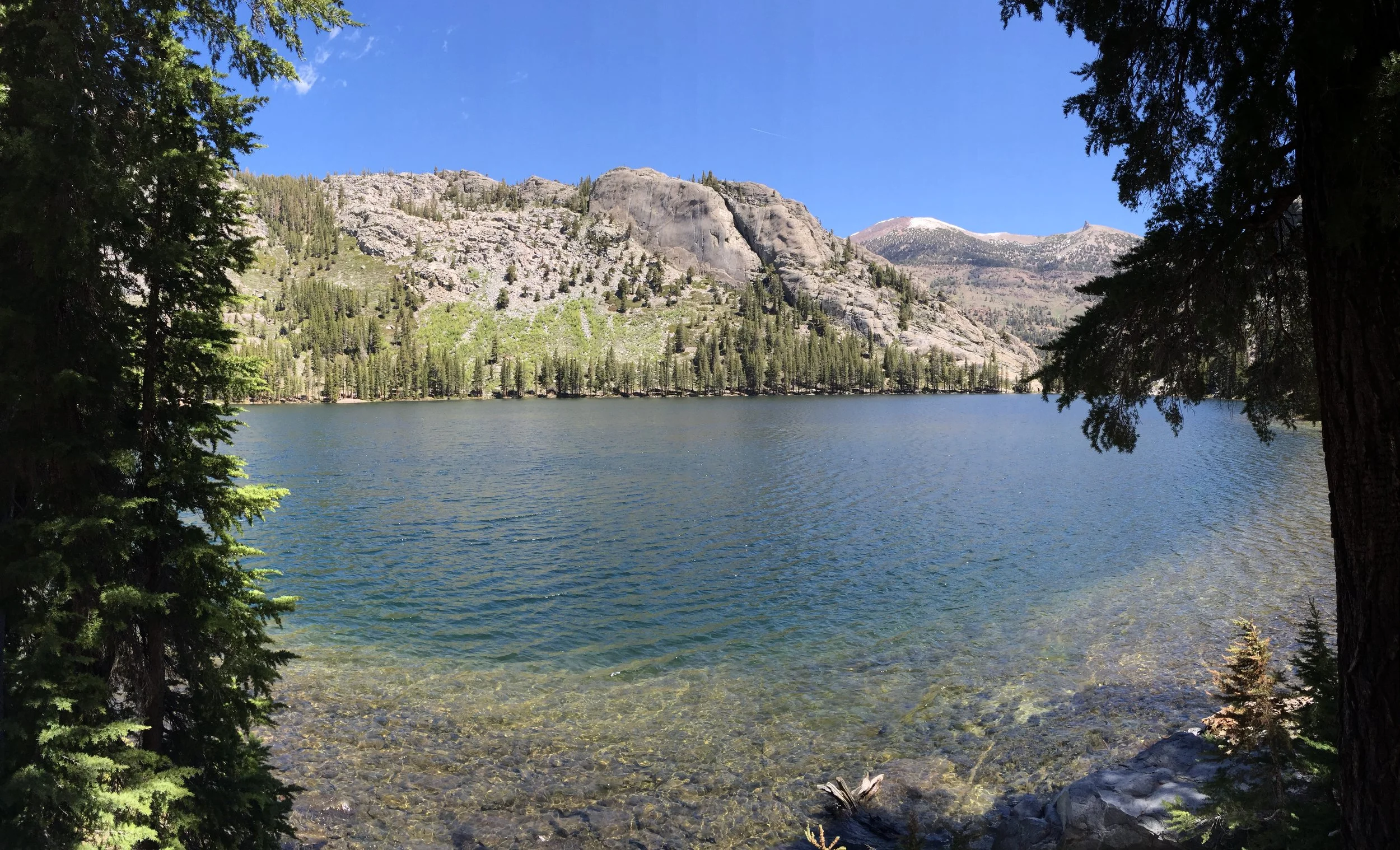
Between Benson and Seavey Pass, there were some difficult water fords, beautiful scenery and an awesome lunch spot.  At the top of Seavey Pass there were quite a few ponds and Mr. Clean suggested we stop there for the day and take on the descent early in the morning again when the snow would be frozen.  I was tired of waking up early and convinced everyone to camp and the bottom of the descent, next to the river.  Also, going further on this day would mean we reach a very difficult river ford early tomorrow when the river is at it's lowest point.  I'm still not sure what the best decision would have been.

The descent was very steep, slippery and almost all of us slid down the hill on our butts.  At the bottom, we reached the river were we were immediately confronted with a snow bridge (last picture).  On one side of the bridge was a steep 15 foot drop between the snow and a rock wall.  On the other, the raging river which if fallen into would mean lost of all gear, night of being wet and possible helicopter rescue... that is if you could get out of the river.  Less than 1/4 mile down stream, the river turns into a cascade of water falls and carved out canyons.  This was the riskiest part of the trail we had come across thus far.

Some went ahead of me.  I waited for Back Track and Mr. Clean before starting across. The slushy snow was roughly the width of your shoe and the the angle and short drop of the slope meant there would be little or no time to self arrest if fallen on.  

I had crossed.  The tunnel vision I had experienced started to diminish and some relief came to mind.  That's when I heard it.   Back Track had lost balance and slipped.  Hanging on the edge of the snow, with her backpack trying to bring her into the river, I had to go back.  Spending the next half hour or so trying to get my micro spikes on her, while Mr. Clean worked to position himself to help lift her up from the very awkward position she lay in.  We all started to get cold by the end of the ordeal.  But we got through it and made it the the last 1/4 mile to camp for the night.  I was definitely shaken.  "What would I have done had she fallen in the river?" came to my mind a lot.  The temperature this night was much warmer than the last.

8276.JPG
8278.JPG
8282.JPG
8283.JPG
8286.JPG
8287.JPG
8288.JPG
8289.JPG
8290.JPG
8292.JPG
8293.JPG
8296.JPG
8297.JPG
8299.JPG
8302.JPG
8303.JPG
8492.JPG
In Pacific Crest Trail Tags Benson Pass, Seavey pass, Ice Bridge
Comment

Day 66 - More Yosemite. 959.9 (17.4)

Kevin Silvernale December 24, 2016

I had to wait for the post office to open before hitting the trail.  I wanted to send home my heavy jacket along with an extra pair of shorts and some maps I was carrying.

Mr. Clean and I hit the trail. around 9:45am. We made it to Glen Aulin (pronounced: Allen), a pack camp along the Tuolumne River, for lunch around noon.  One of the better lunch spots I've had so far on the Trail.

The next 12 miles were filled with forest walking (no views) into large meadows that released the filling of claustrophobia the dense forest can cause.  The meadows made me feel happy I was there.

After a couple creek fords, the trail climbed 1,000 feet over a little more than 1 mile (very steep incline).  With a lot of scattered snow piles, it kicked my ass.

Pushing a little further, Mr. Clean and I made it to Miller Lake... our campsite for the night.
 

8248.JPG
8249.JPG
8250.JPG
8251.JPG
8252.JPG
8253.JPG
8254.JPG
8255.JPG
8256.JPG
8258.JPG
8262.JPG
8263.JPG
8264.JPG
8265.JPG
8266.JPG
8268.JPG
8272.JPG
8273.JPG
8274.JPG
In Pacific Crest Trail Tags tuolumne meadows, yosemite, yosemite valley, yosemite np, day 66, more yosemite., glen aulin, pack camp, tuolumne river, miller lake
Comment

Day 65 - The Last Pass on the JMT, Donahue. 942.5 (16.4)

Kevin Silvernale December 23, 2016

An absolutely stunning day.  With Donahue Pass being the last pass for a couple days, I woke up with a little extra vigor.  It's easier to pack up knowing town is waiting for you as well.

Donahue Pass is the beginning of the Yosemite Wilderness (where National Park rules start to take effect). On the decent down from the pass, I passed a lot of JMT hikers.  Most of them were on day 3 or 4 of their 25 to 30 day journey.  The Yosemite Valley is the most popular starting point for the JMT mainly because everyone wants to finish at the top of Mount Whitney rather than having to climb it at the very start.

The valley after Donahue Pass is some of the flattest trail thus far on the PCT.  The aqua duct walk after Hiker Town (Day 32) may be the only section similar in flatness. 

As I got closer to Tuolumne Meadows, it became apparent we were in a national park and it was summer! Lots of people visiting from all over the world.  It felt a little strange, after having spent nearly 3 weeks in remote areas and small mountain resorts, to be surrounded with people in a hurry to go see the next thing in the park.

I relaxed with the group at the general store and bought lots of snacks and some beer before wandering over to the camp ground.  There were a few people already set up in camp when I arrived.  By the time it was sunset, there were easily 30+ people setup and we had a huge campfire in one of the pits.  

8205.JPG
8206.JPG
8207.JPG
8211.JPG
8214.JPG
8217.JPG
8219.JPG
8220.JPG
8222.JPG
8225.JPG
8226.JPG
8230.JPG
8235.JPG
8237.JPG
8238.JPG
8245.JPG
8246.JPG
In Pacific Crest Trail Tags PCT, pacific crest trail, john muir trail, JMT, donahue pass, tuolumne meadows, yosemite, national park, wilderness, np, yosemite valley, yosemite np
Comment

Day 64 - JMT Alternate Part 2 and Island Pass. PCT 926.1 (17.8)

Kevin Silvernale December 23, 2016

Mileage Breakdown: 11.3mi JMT Alternate + 3.2mi PCT + 3.0mi Unplanned Detour = 17.8 miles.

Very challenging day.  Though very beautiful, the terrain mainly consisted of steep incline followed by steep decent.  The snow, slush, water and mud added a nice touch to the whole experience.  

About half way into the day, I missed a crucial turn at a fork in the trail.  Instead of leading on toward the PCT and Island pass, I wandered 1.5 miles in the wrong direction.  It was very disheartening, but I had an even longer ways to go before the end of the day, so all I could do was turn around and move on. 

About 100 yards after turning around, I found Butterfingers had followed me down the wrong trail.  The look on her face screamed, "NOOOOO, don't tell me we went the wrong way".  But we had, so together we hiked as quickly as we could to avoid getting into camp before dark.  This also meant we didn't take very many breaks.

The views were gorgeous.  The wind and cooler tempuratures kept me from stopping to take them all in, so I took a ton of pictures which I could appreciate from the comfort of my sleeping bag.  

Island Pass is nothing like the other passes along the PCT/JMT.  more of a rolling hill, I never really knew when I had passed it.  It's shallower slopes held a lot more snow which caused the end of the day to be mainly post holing in the slushy mess.

In camp, we had a large group.  Primarily due to the fact this was the last good campsite before tomorrows pass.  I'll plan on being up bright and early one more time.  Hopefully it will be the last early morning for a while.

8176.JPG
8178.JPG
8180.JPG
8183.JPG
8185.JPG
8187.JPG
8188.JPG
8190.JPG
8192.JPG
8193.JPG
8194.JPG
8195.JPG
8196.JPG
8197.JPG
8199.JPG
8200.JPG
8201.JPG
8203.JPG
8204.JPG
In Pacific Crest Trail Tags PCT, pacific crest trail, 2016, john, JMT, Island Pass, Sierra Nevada, Thru hike
1 Comment
← NewerOlder →