Though I didn't take ANY pictures of it, the trail was covered in snow for 4 of the 7 miles to the Highway. I was constantly misplacing the trail. The worst was a 30 minute scenic detour where I traveled nearly perpendicular to the trail. The extra challenge was this area had poor GPS coverage and very few foot tracks. I can understand how easy it would be to lose the trail not find a way out of the wilderness for days! I was fortunate to be able to navigate back to the trail in a timely manner.
After descending to a elevation with less snow, I was close enough to civilization to have good cell service. Taking a break around 5 miles into the day, I chose to call my family. It had been since Mammoth Lakes (Day 62) since I had talked to them last.
The last few miles into South Lake Tahoe were relatively easy. The lower in elevation I went, the more vegetation there was. This caused some concern about poison oak in the area. I am entering into Northern California, where there are lots of warnings of poison oak and though I've never had a reaction to poison oak, I'm not interested in experiencing it if I can help it.
Highway 50 is where hikers are able to either hitch into South Lake Tahoe or call one of the many trail angels who have provided there personal number to hiker. For once I was the only one with cell service. Thus it was my job to call a few of the trail angels and set up some rides for the dozen or so hikers waiting at a parking lot along the highway.
While we waited for our angels to arrive, a wilderness fire fighter was getting ready to check on a call he'd received about a possible fire. Christopher, a hiker, mentioned he had come across an area this morning where someone hadn't put out their camp fire properly. The coals had spread through ground to about a 20 foot radius around the pit. Doing all he could, Christopher dug up the ground and dumped all his water on the area, then proceeded to covered it with snow. Feeling good about having contained it he left and planned on notifying someone once he could. We had an interesting conversation with the fire fighter and shortly after he left up the trail, our rides showed up.
Our angel was an elderly gentleman who use to be an avid backpacker. His body couldn't take the physical demands anymore, but he still enjoyed interacting with hikers. He dropped 3 of us off at Lake of the Sky Outfitter where there is a hiker lounge and hiker friendly staff. My first mission was here; I needed new socks.
The past month of crossing creek fords, walking through snow, freezing temperatures at night and constantly being we, caused my Darn Tough (brand) socks to all be worn out. An impressive feat if you ask any hiker. 1090.0 miles on 3 pairs of socks. In comparison, a pair of cotton socks are have said to not last more than 3 days of solid hiking. Less if your feet are wet.
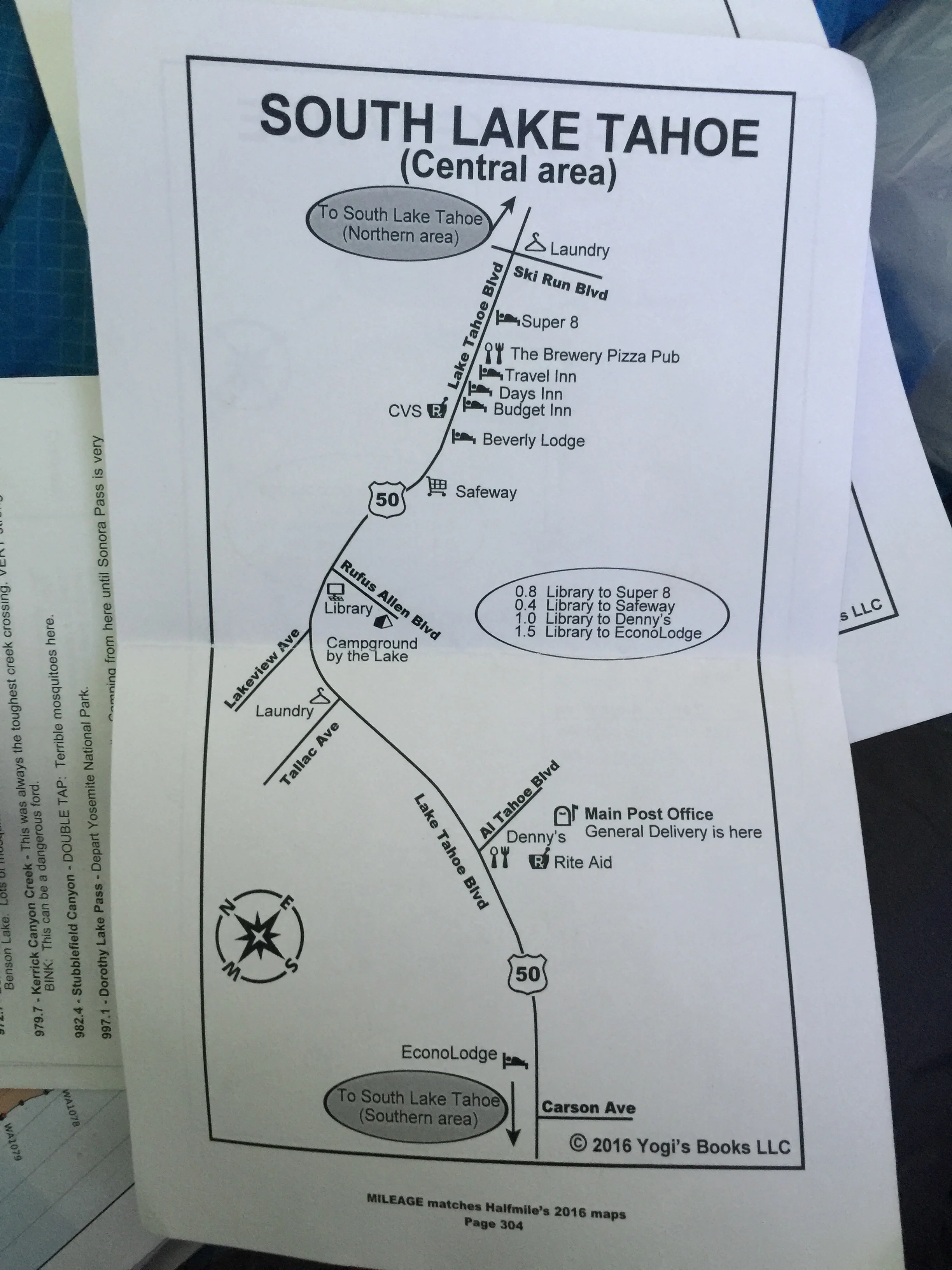
My second mission was food. South Lake Tahoe has a bus system, but it was often faster to travel by foot. With that, I accumulated many in-town miles between doing a full in-town resupply, getting some Pho and mailing packages home.
A large group of us split a campsite at one of the local RV parks. We all hung out, had some drinks and enjoyed having running hot water.