
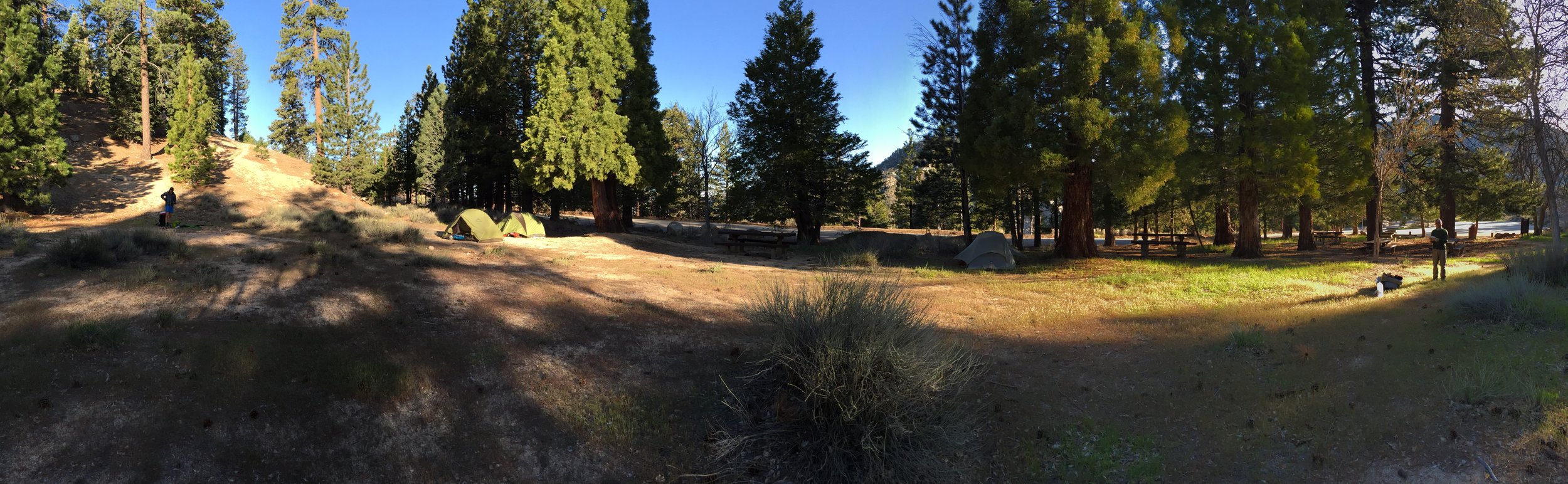
It was a standard morning for me. Wake up, eat, make some coffee and when the sun hits my tent, start packing up.
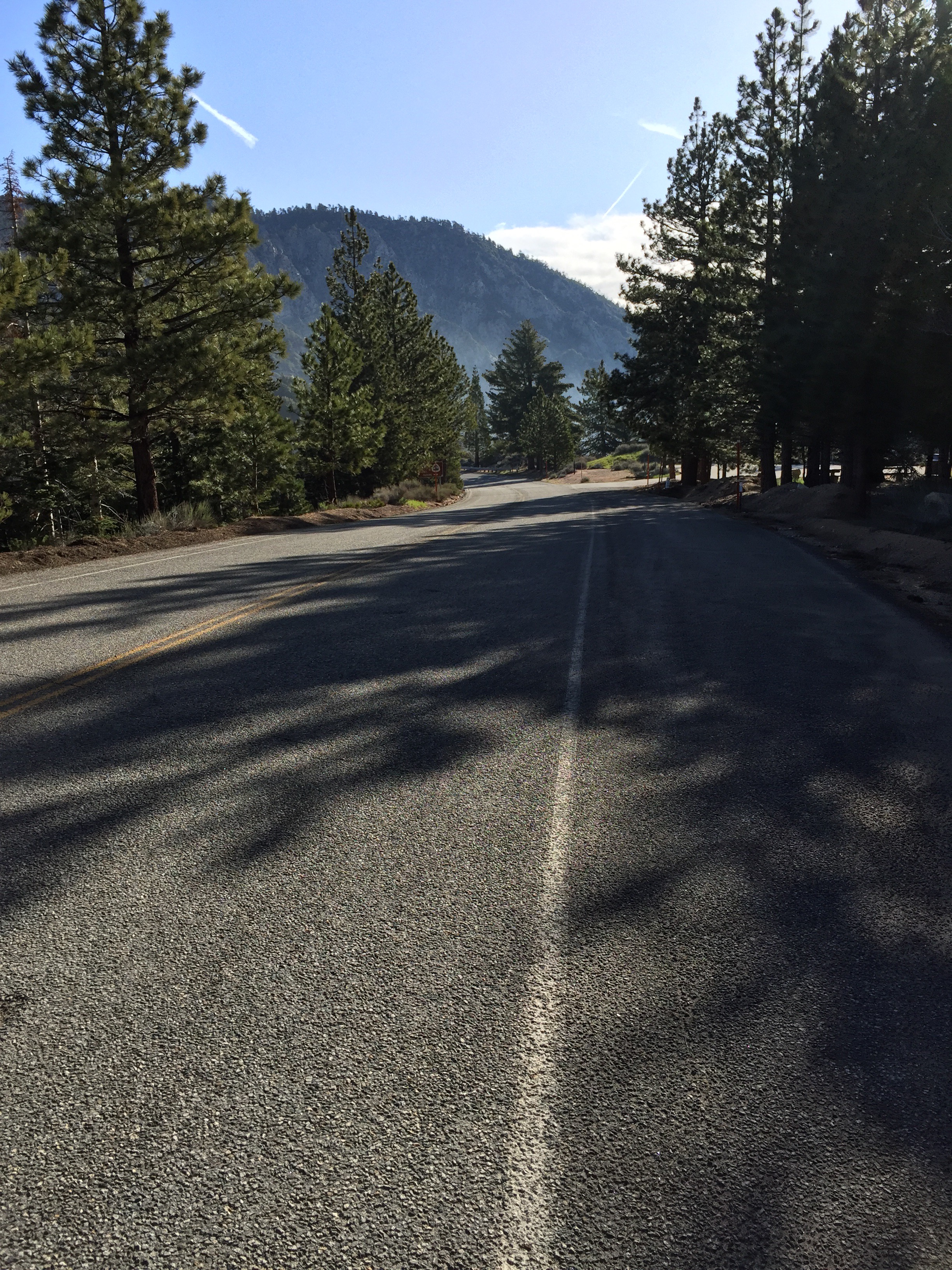
 The first 5ish miles of the day were an alternate trail required due a long term closure of the PCT. This one caused by an endangered frog in the area. The alternate included a 2.7 mile road walk to the Buckhorn Campground which is the trailhead for the Buckhorn Trail. It wasn't too difficult of an alternate and the road walk was a nice change of pace (not going up and down large hills).
 [wpvideo 6NfcMvjk]
 I missed the turn where the Buckhorn Trail connects to the PCT. Fortunately I only made it a quarter mile before I saw Leah and Anna walking the opposite direction. They had only walked a little further before it was obvious that they had made the same mistake. This type of thing happens often when walking alternate trails.
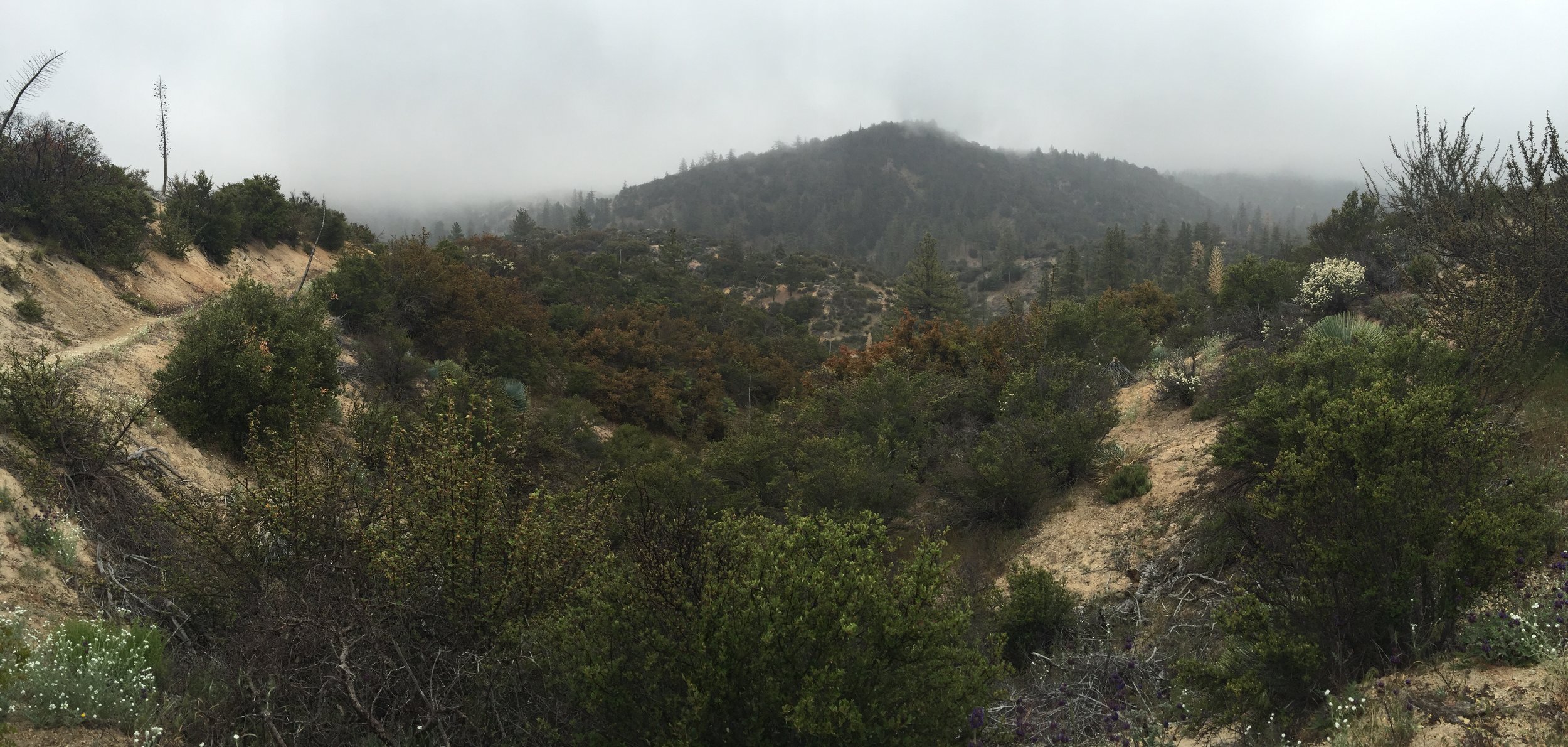
The next few miles were steep uphill switchbacks. ST and I leap frogged each other often as we alternated taking pictures of the clouds rolling over the hills.
I missed the turn where the Buckhorn Trail connects to the PCT. Fortunately I only made it a quarter mile before I saw Leah and Anna walking the opposite direction. They had only walked a little further before it was obvious that they had made the same mistake. This type of thing happens often when walking alternate trails.
The next few miles were steep uphill switchbacks. ST and I leap frogged each other often as we alternated taking pictures of the clouds rolling over the hills.
 [wpvideo UPC0qg7P]
 [wpvideo C3xKiSYH]
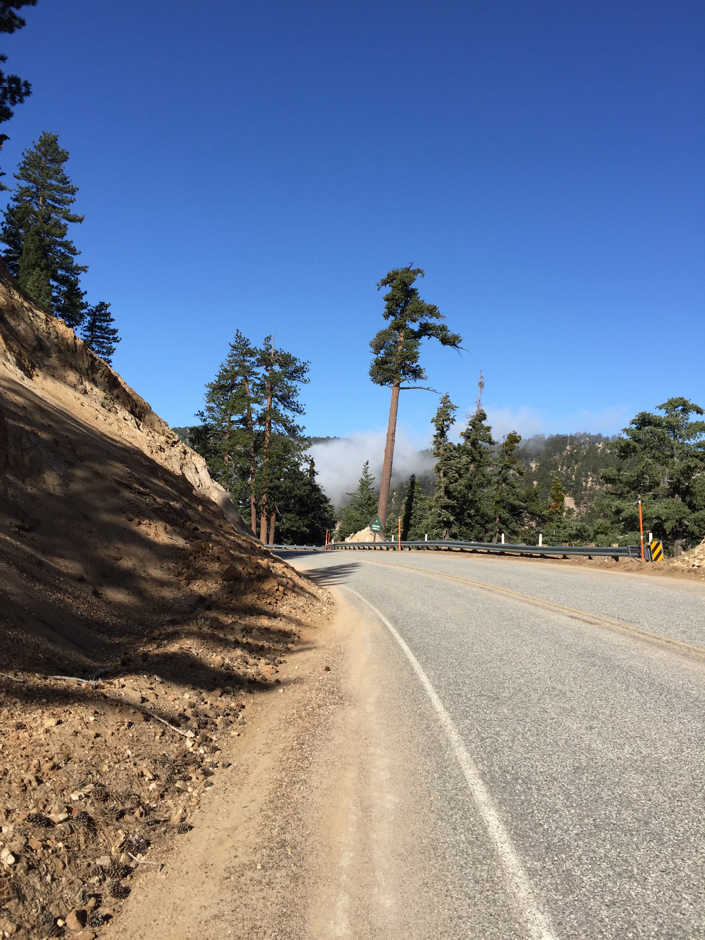
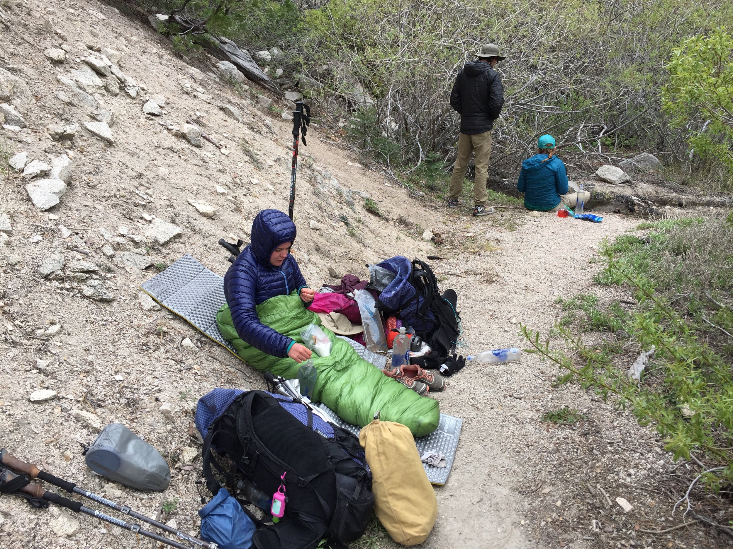
At the next water source I ate lunch and filled up 5 liters of water. It really sucked to carry. My left foot was giving me hell for the second half of the day. I think my legs were tired and stiff. Also, the trail end up crossing Highway 2 9 times (between yesterday and today). Some hikers walk the road instead of the trail. It saves only a few miles and you end up missing some of the views.
[wpvideo C3xKiSYH]
At the next water source I ate lunch and filled up 5 liters of water. It really sucked to carry. My left foot was giving me hell for the second half of the day. I think my legs were tired and stiff. Also, the trail end up crossing Highway 2 9 times (between yesterday and today). Some hikers walk the road instead of the trail. It saves only a few miles and you end up missing some of the views.
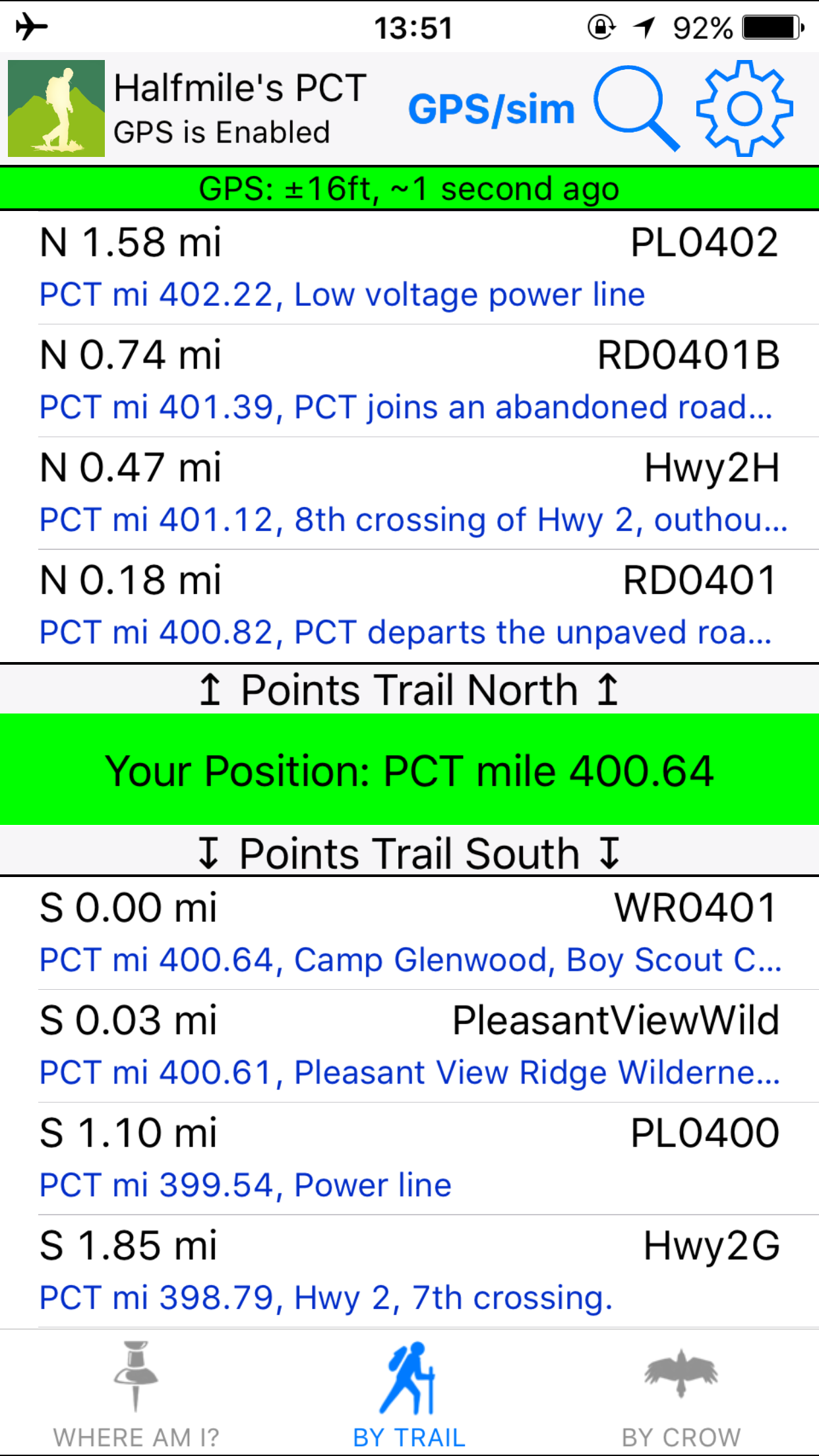
 It was pretty cold out and the weather was moving in. The forecast was for rain and wind today and tomorrow. This made it tough to relax and stretch. Every time I would stop, the sweat would give me a good chill. Mile 400 was a sweet achievement. Missed it by a little on my gps. I wasn't going back though.

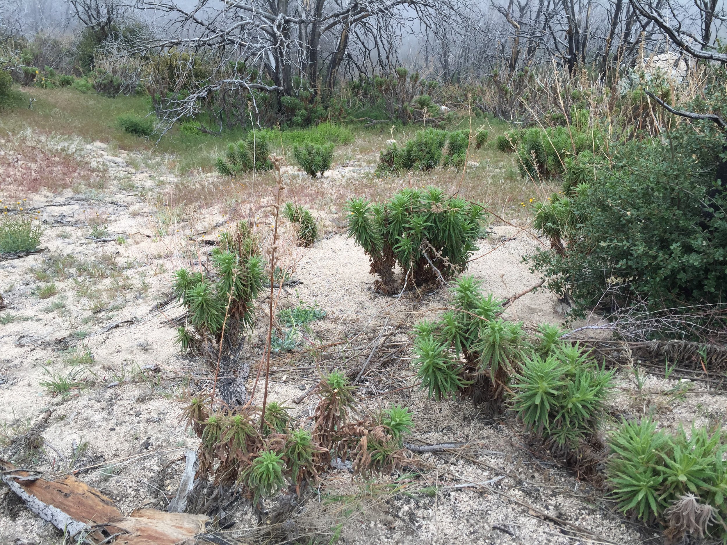
 I was moving very slow... 1.75 mph. Mainly from the pain in my left foot. But the Poodledog Bush was definitely on my mind. The next 30 miles are infested with the plant.


 Eventually I reached the campsite and quickly setup my tent. The group and I were right under a large pine trees canopy. This didn't do anything for us. The moisture in the fog would collect on the needles and drop water. This happened all night.

 P.S. - Funny thing is, when I was walking around the next morning, the only wet area was under the tree. It didn't actually rain all night... It was just the damn tree.