• Northern Colorado Trail
    • NOCO Trail 2024
    • NOCO Trail Blog Overview
    • Colorado Trail 2023
    • CT Blog Overview
    • CDT 2021
    • CDT Blog Overview
    • Gear
    • AT 2018
    • AT Blog Overview
    • Gear
    • PCT 2016
    • PCT Blog Overview
    • Gear
    • Grays and Torreys
    • Bierstadt - Sawtooth - Evans
    • Long's Peak
    • Belford - Oxford - Missouri
    • Bierstadt
    • DeCaLiBron
    • Quandary Peak
    • Mount of the Holy Cross
    • BroLiDemCam
    • Elbert - Massive
    • La Plata
  • Off-Trail Gallery
    • Bierstadt Bloody Knee
    • PCT2016 Blister
    • About
    • Contact
Menu

Long Trails

All About The Adventure
  • Northern Colorado Trail
    • Northern Colorado Trail
    • NOCO Trail 2024
    • NOCO Trail Blog Overview
  • Colorado Trail
    • Colorado Trail 2023
    • CT Blog Overview
  • Continental Divide Trail
    • CDT 2021
    • CDT Blog Overview
    • Gear
  • Appalachian Trail
    • AT 2018
    • AT Blog Overview
    • Gear
  • Pacific Crest Trail
    • PCT 2016
    • PCT Blog Overview
    • Gear
  • 14ers
    • Grays and Torreys
    • Bierstadt - Sawtooth - Evans
    • Long's Peak
    • Belford - Oxford - Missouri
    • Bierstadt
    • DeCaLiBron
    • Quandary Peak
    • Mount of the Holy Cross
    • BroLiDemCam
    • Elbert - Massive
    • La Plata
  • Off-Trail Gallery
  • Bloody Pictures
    • Bierstadt Bloody Knee
    • PCT2016 Blister
  • Info
    • About
    • Contact
×
img_3228-1.jpg

Day 25 - Rain with a Chance of Sun. 430.4 (20.0)

Kevin Silvernale May 8, 2016

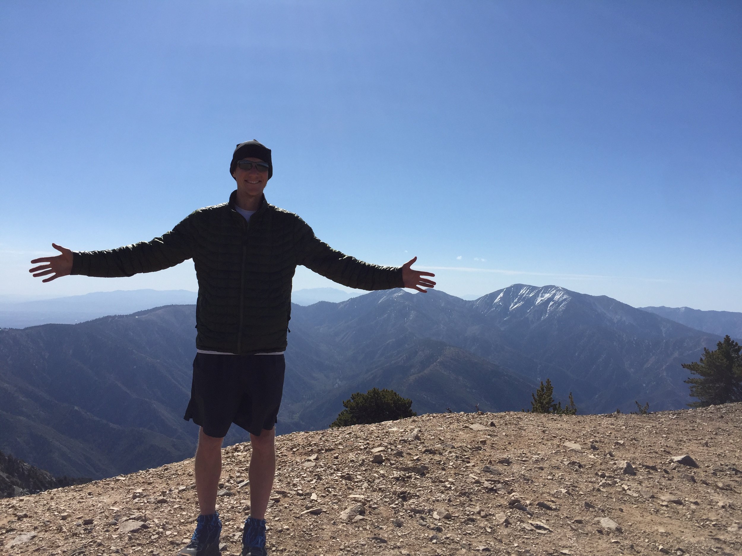
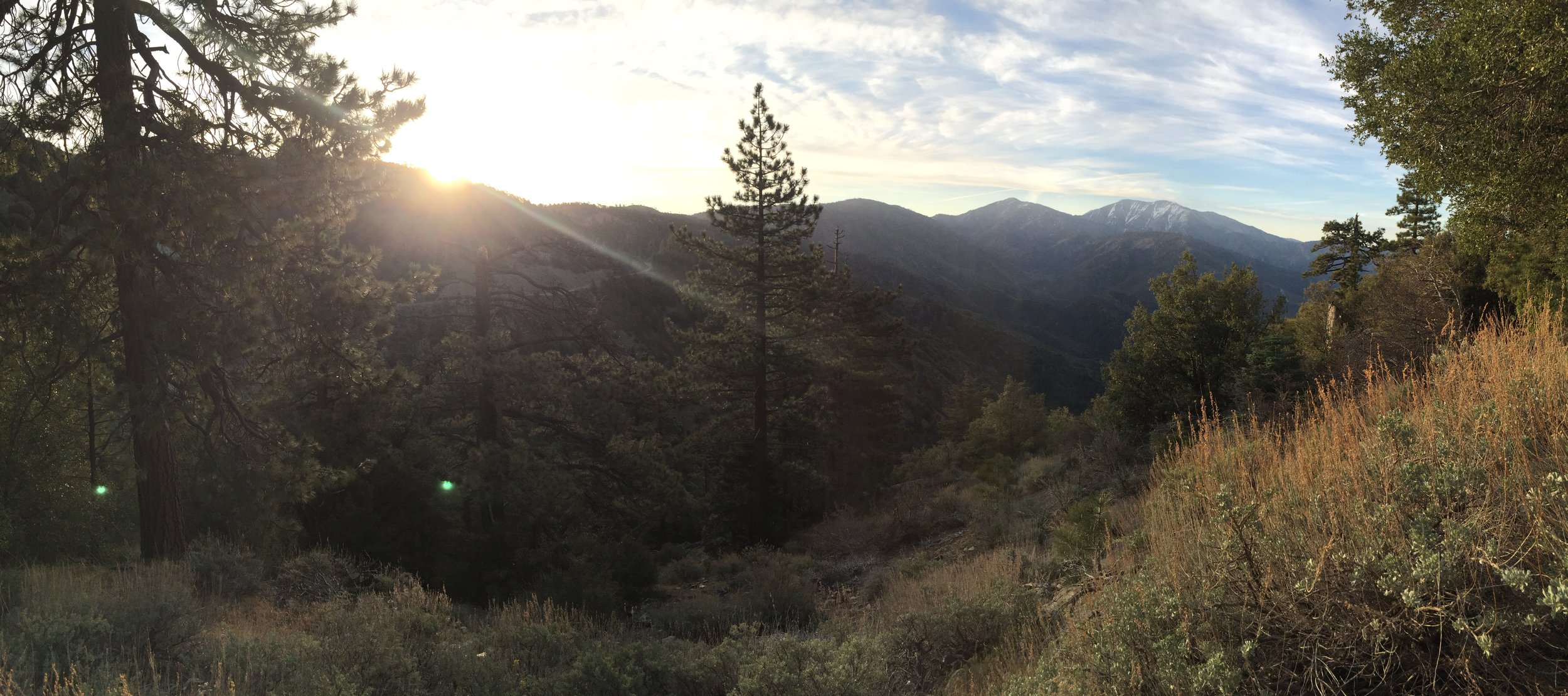
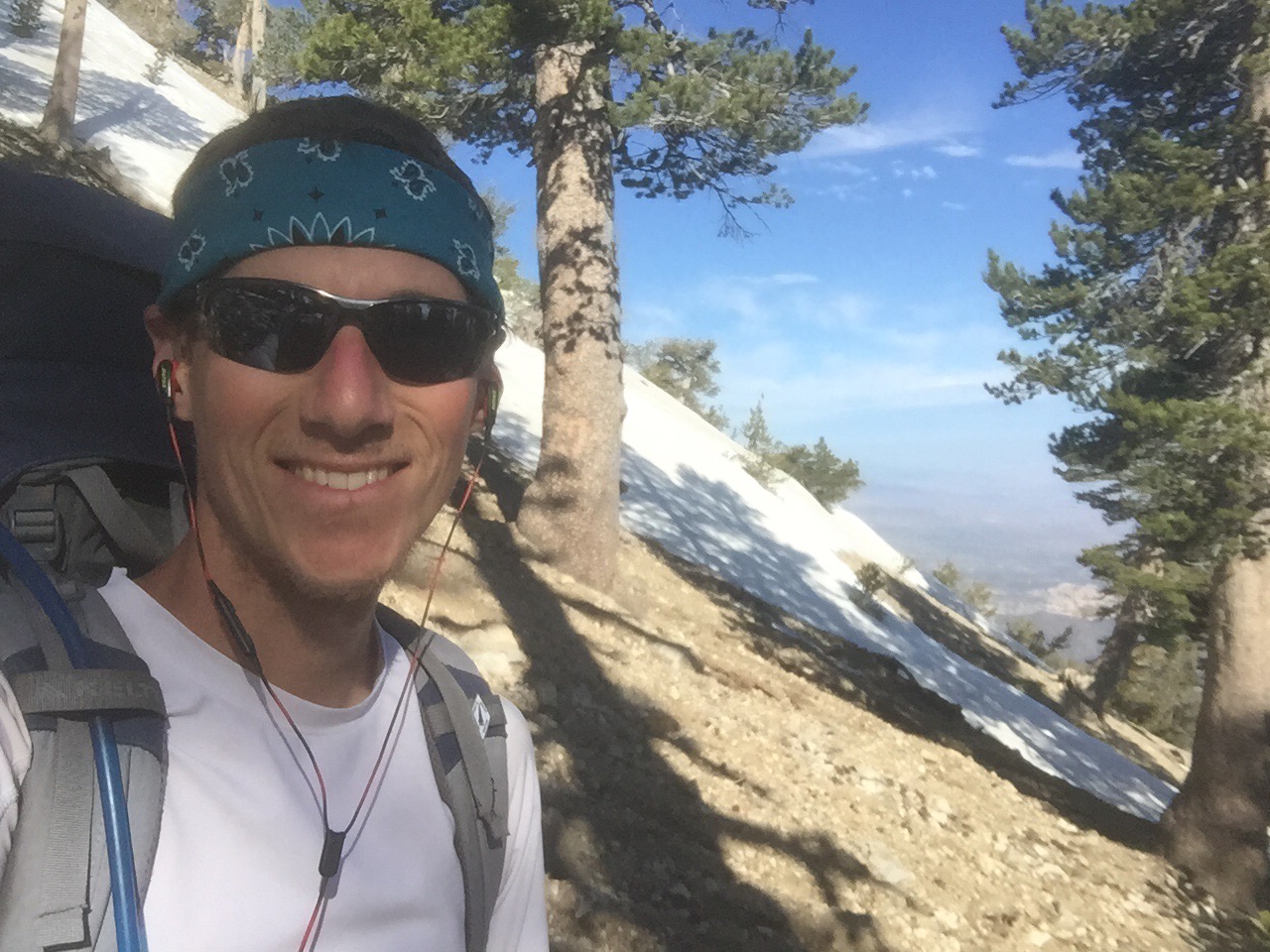
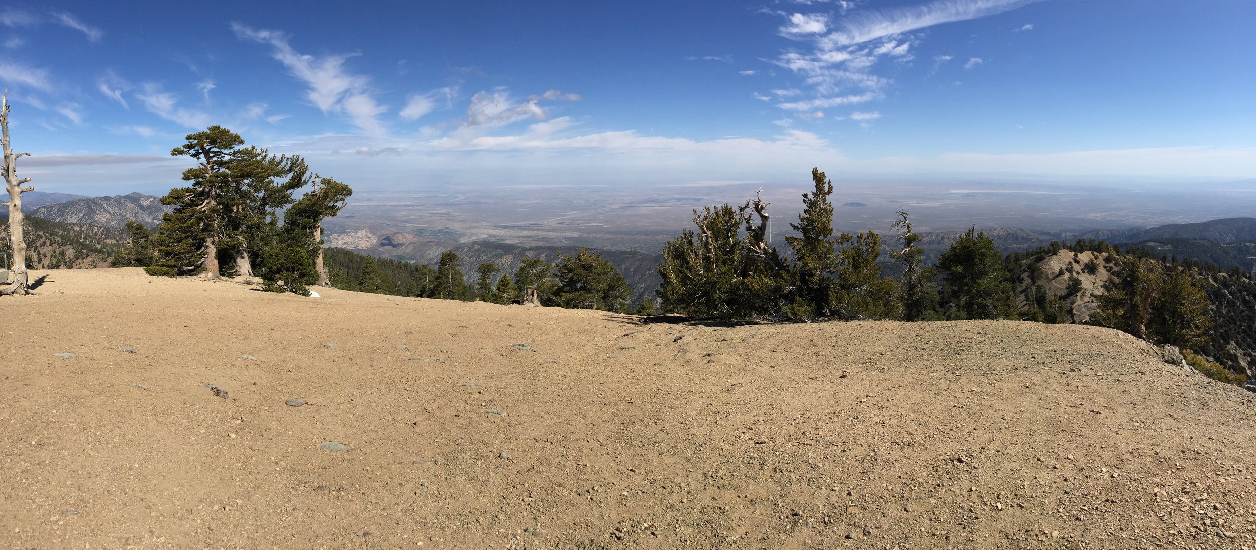
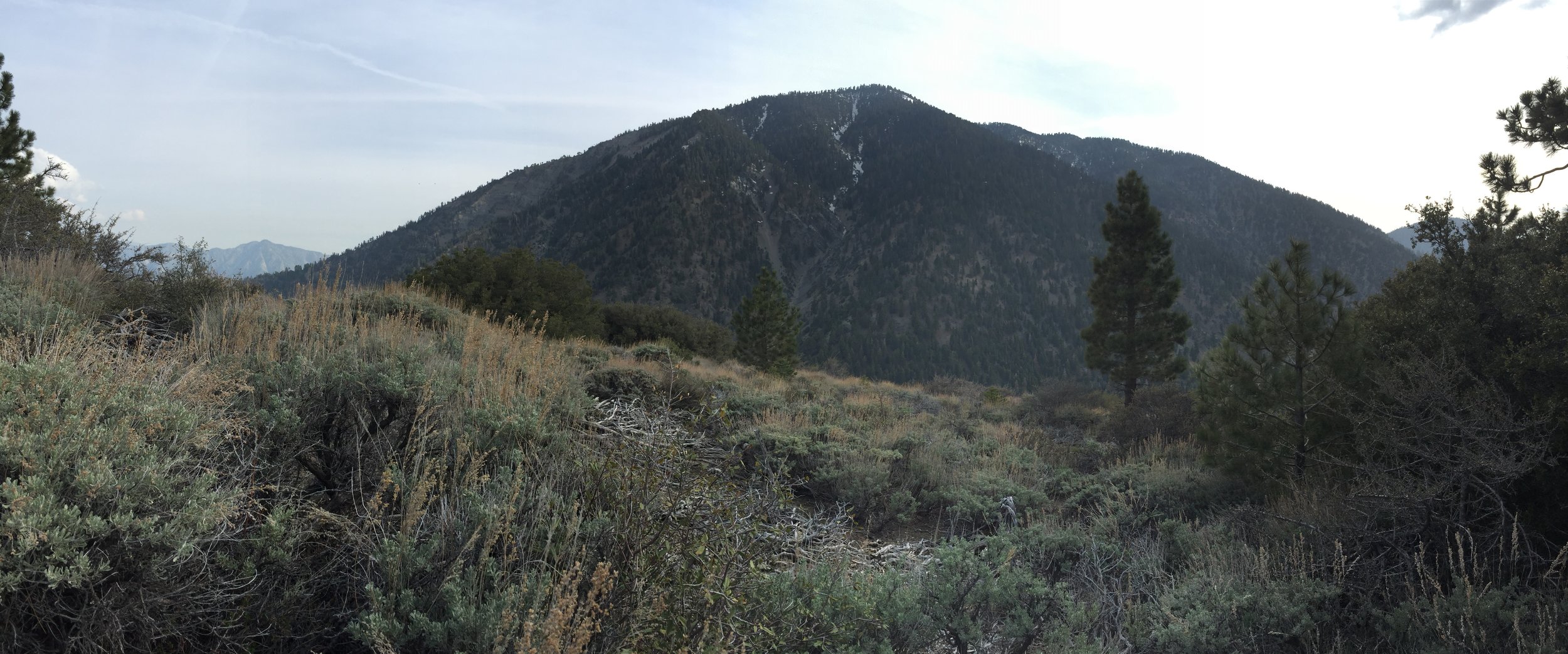
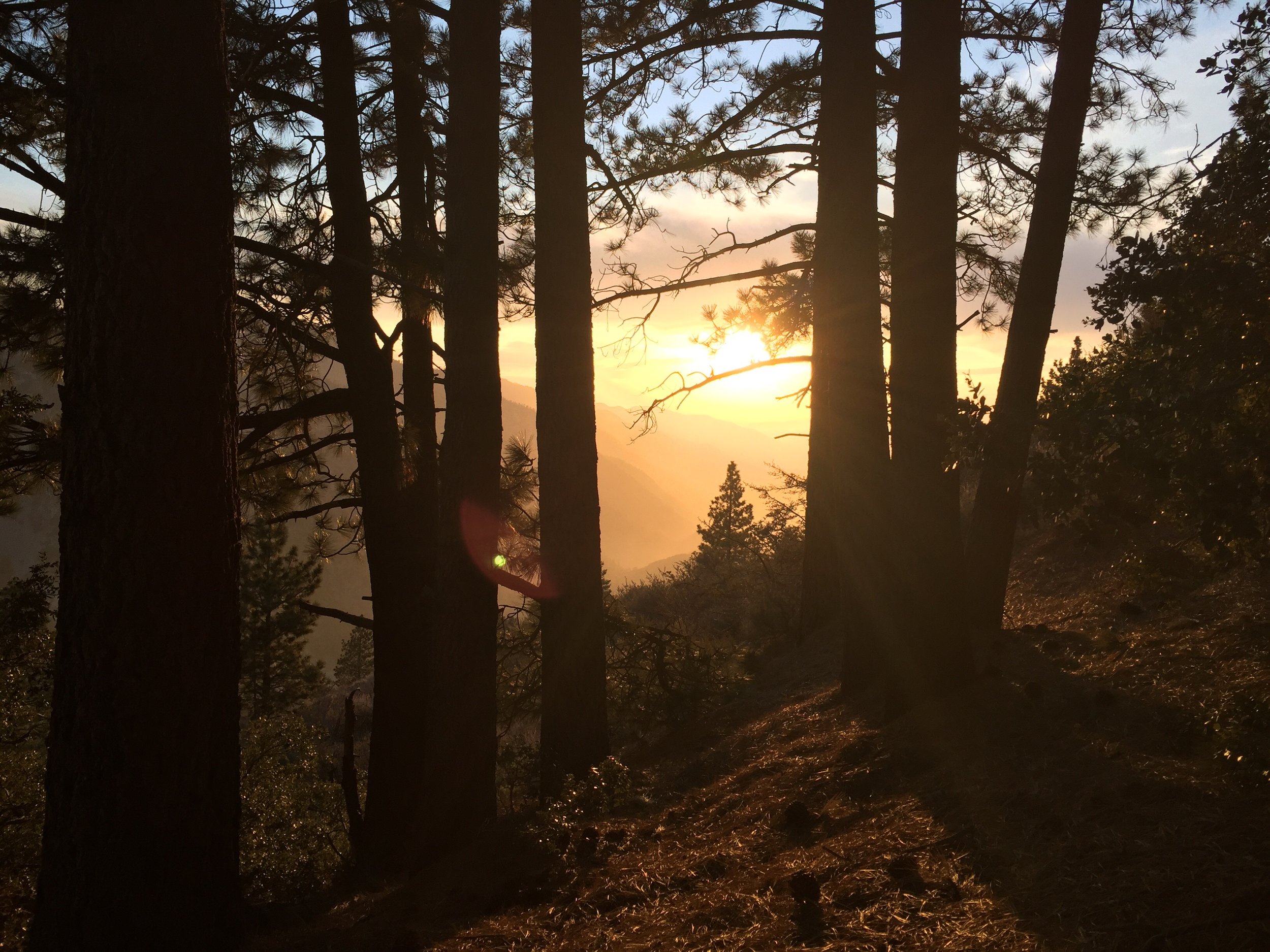
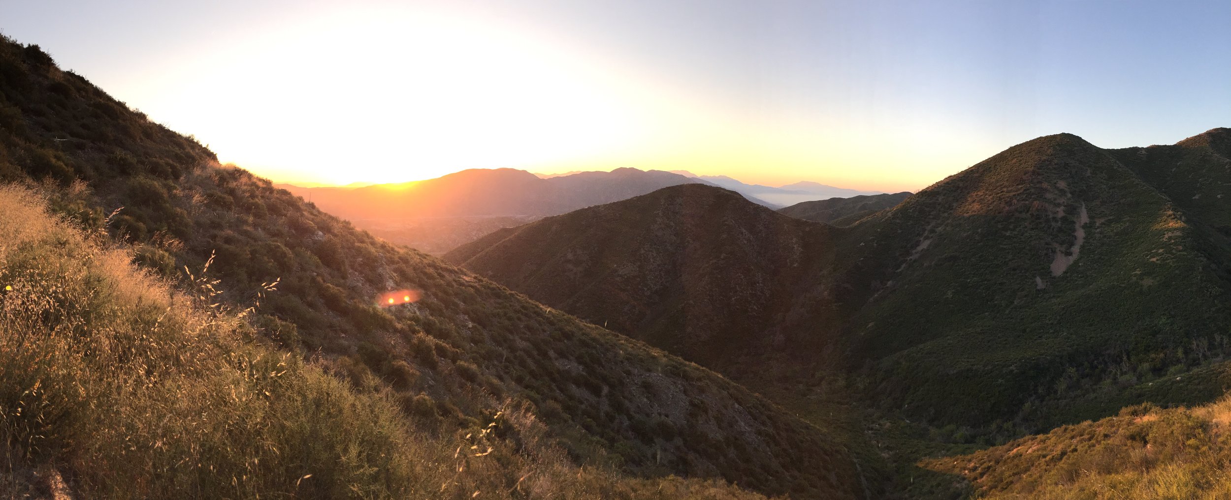
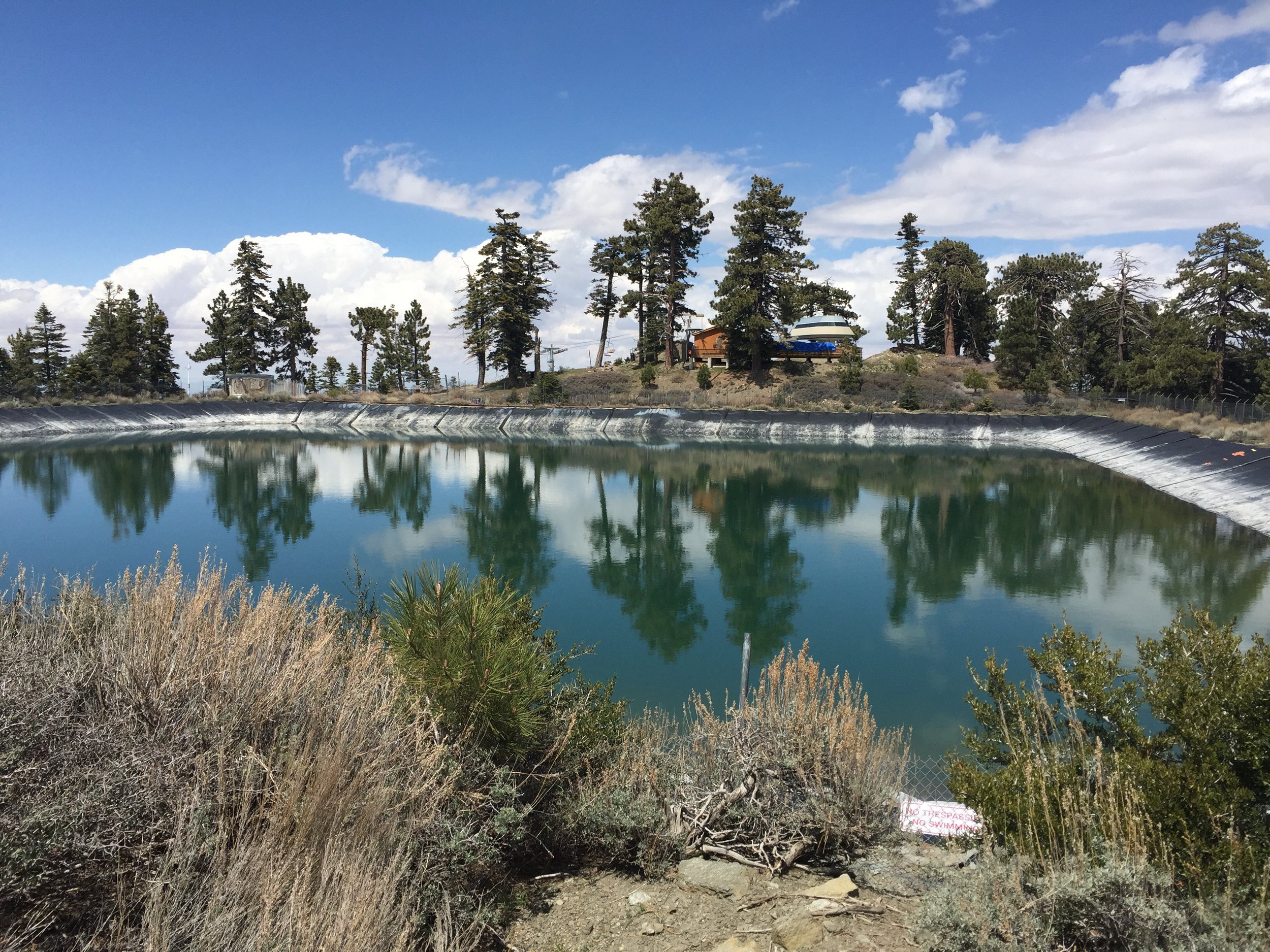
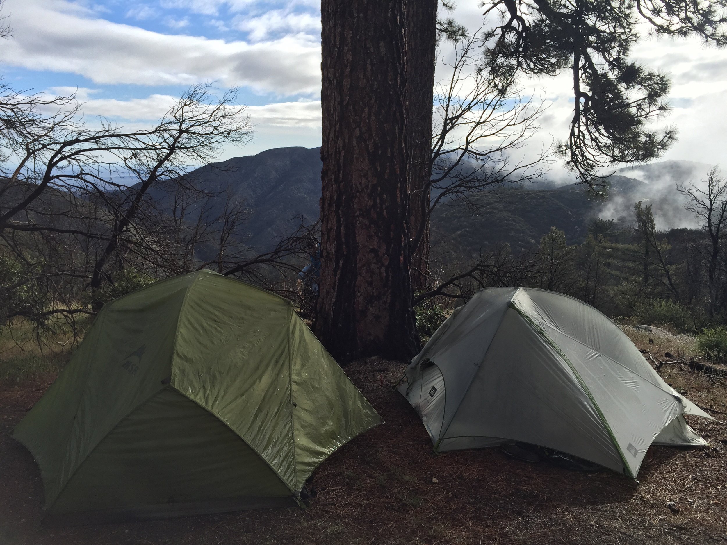
I was in no rush to get up and hit the trail this morning. It still sounded like it was raining (though it really wasn't). I made breakfast in bed and looked at the topo maps for the day. The sun started to break through the clouds and I thought it was the best chance to stay warm while packing up. I opened my tent to an awesome view. Yesterday evening when setting up, the fog blocked out all views.

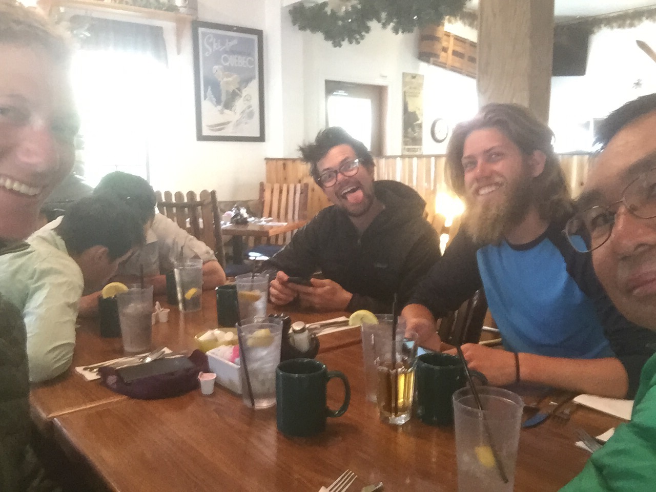
After walking a couple miles I finally had cell reception. It has been a while since I've had solid reception on the trail. I'm so busy and rushed in town that in forget to make them. I had a chance to talk to my brother and mom. But I was so cold by the end of those conversations that I had to run down the trail for a bit to get warm. Guess what? No more cell reception. 
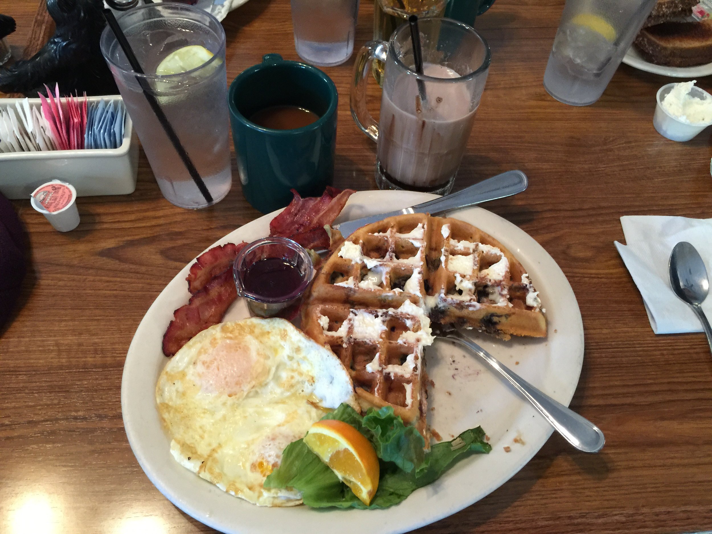
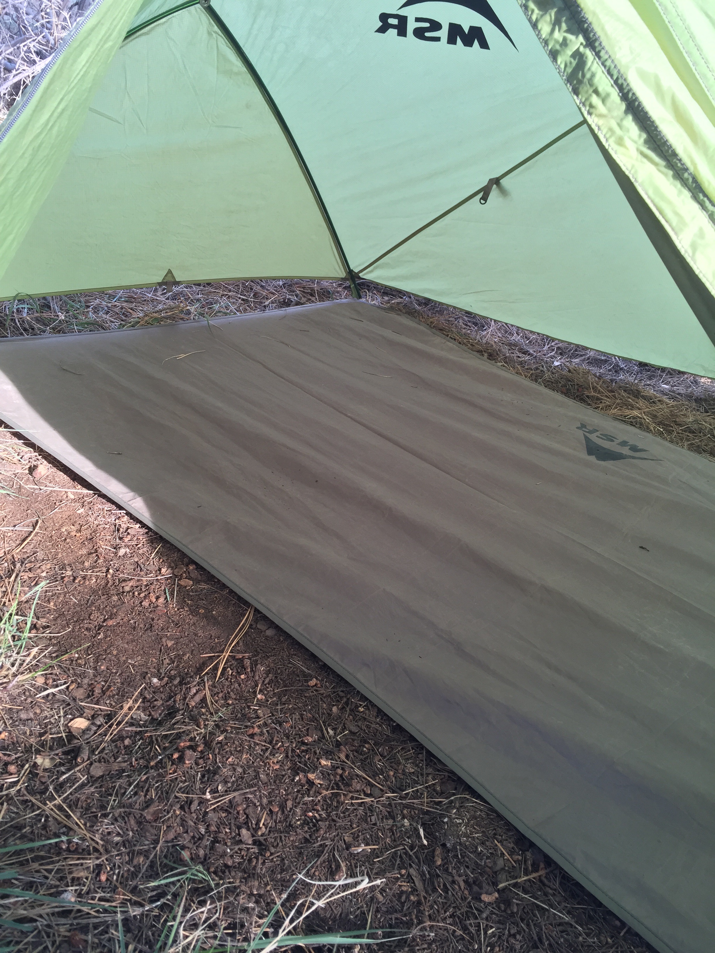
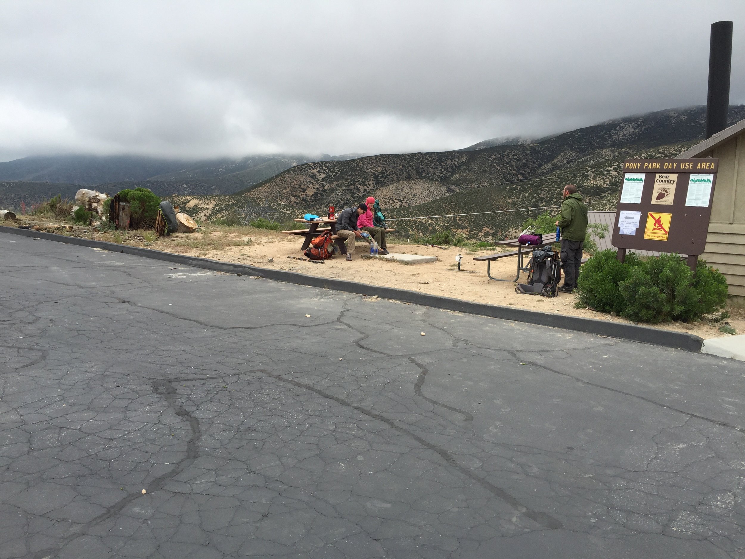
After about 8 very quick miles, a rest area and water source was the stopping point for lunch and drying out some very wet gear (socks, shoes, tent). I took a nice long break so that my feet could rest. My left foot was feeling better, but still not 100%. I think it is hurting from a combination of long days, heavy loads, and worn out insoles. I should be able to pick new ones up in the next town. 

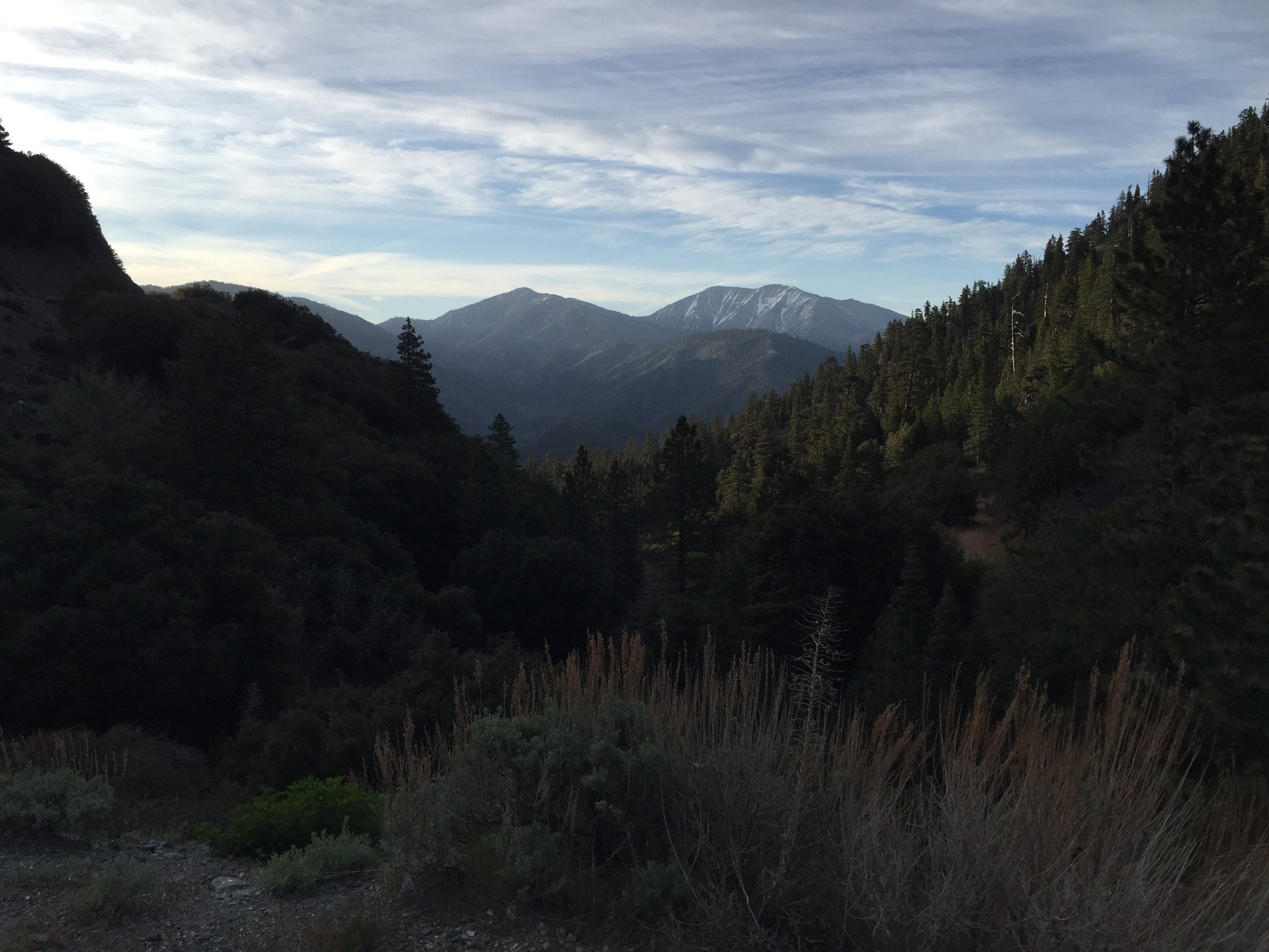
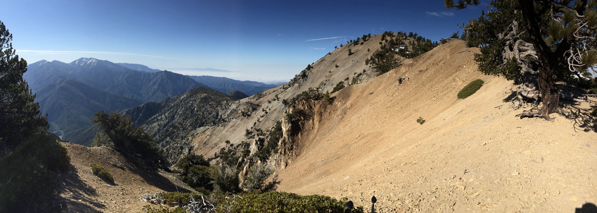
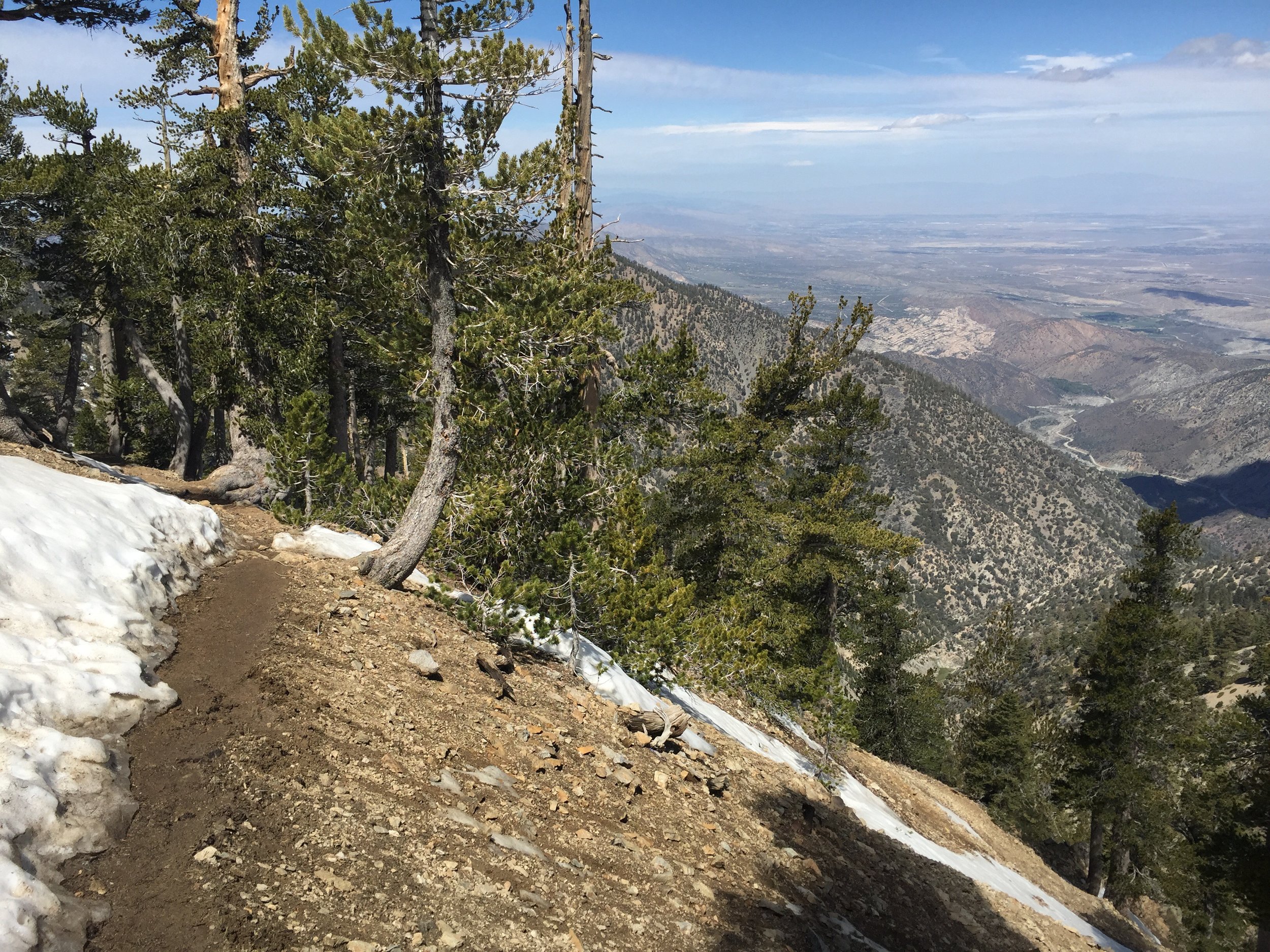
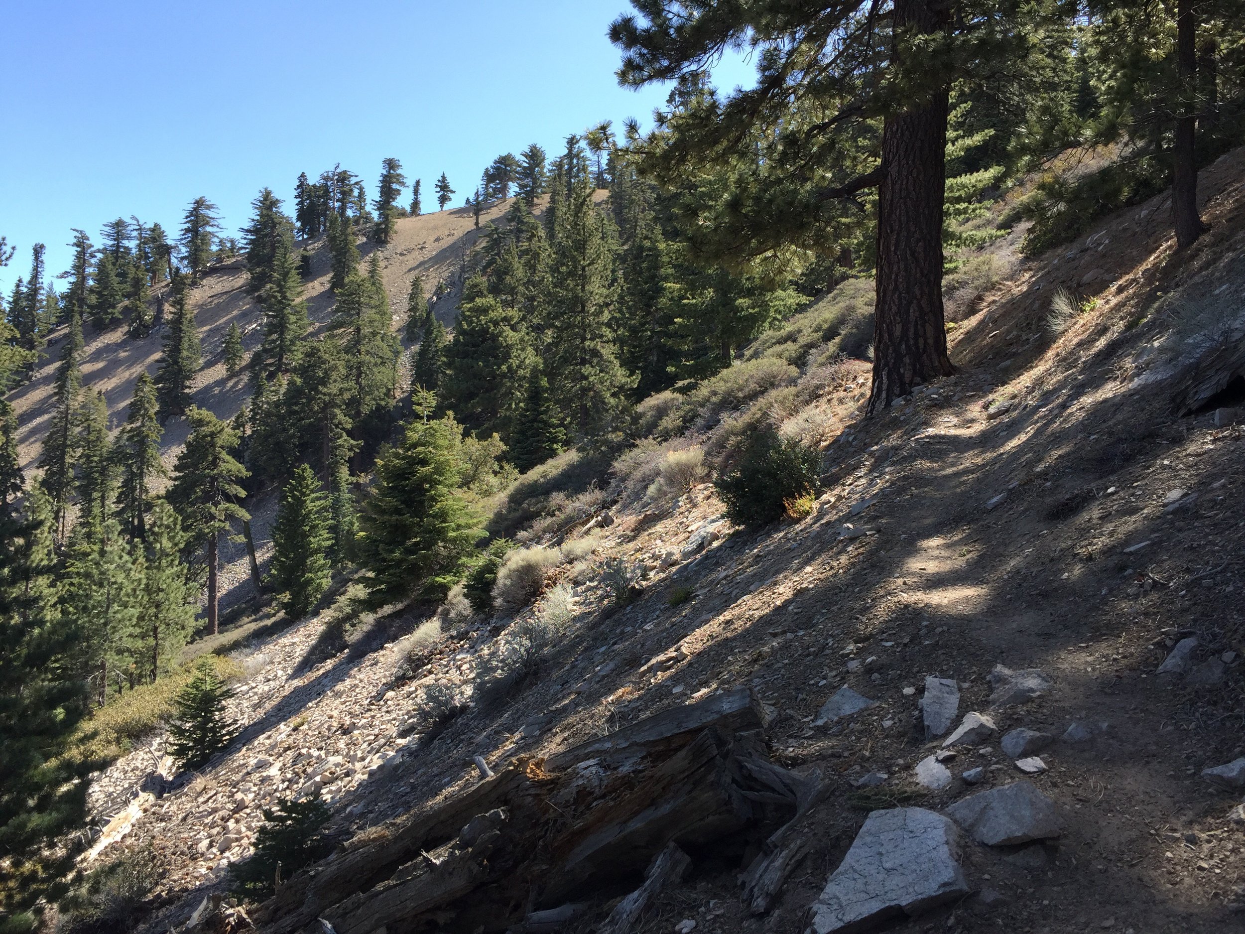
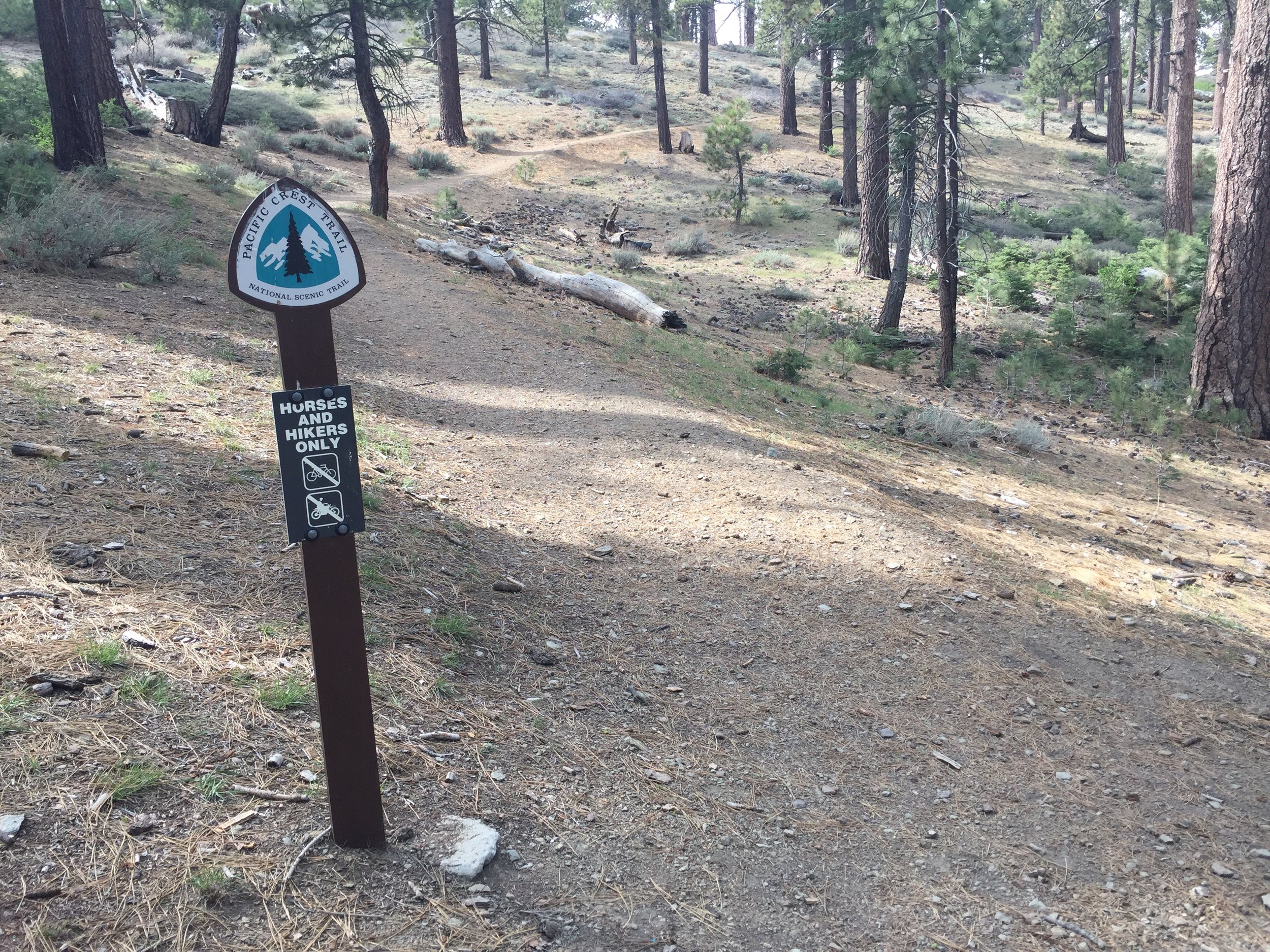
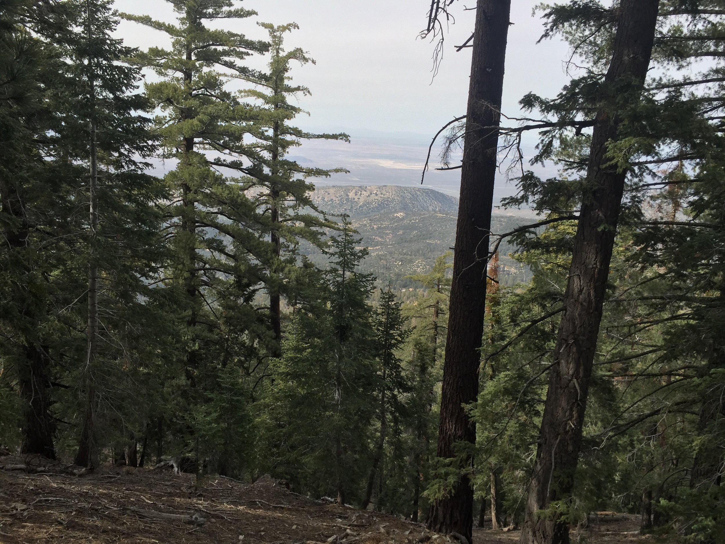
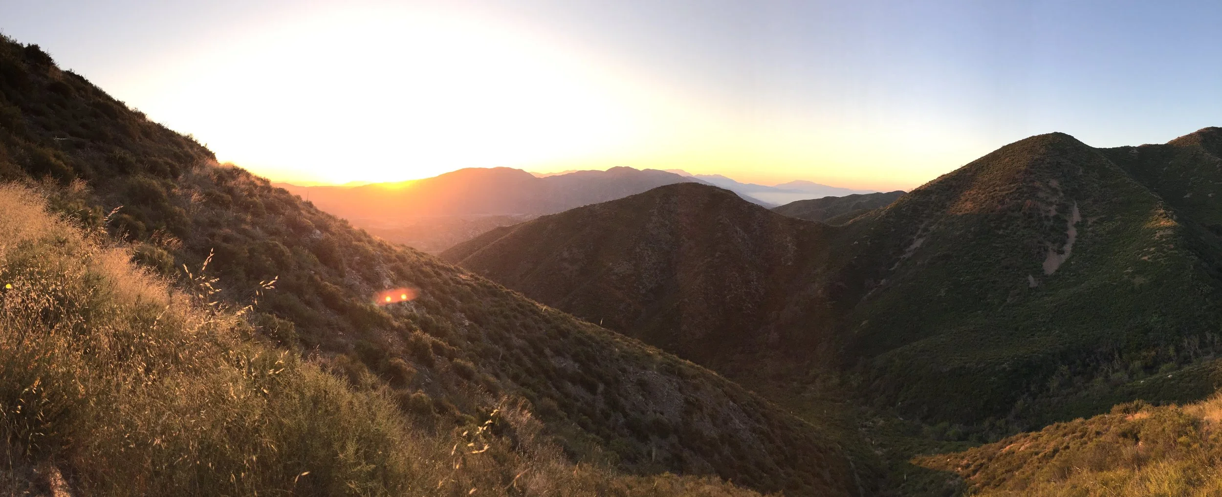
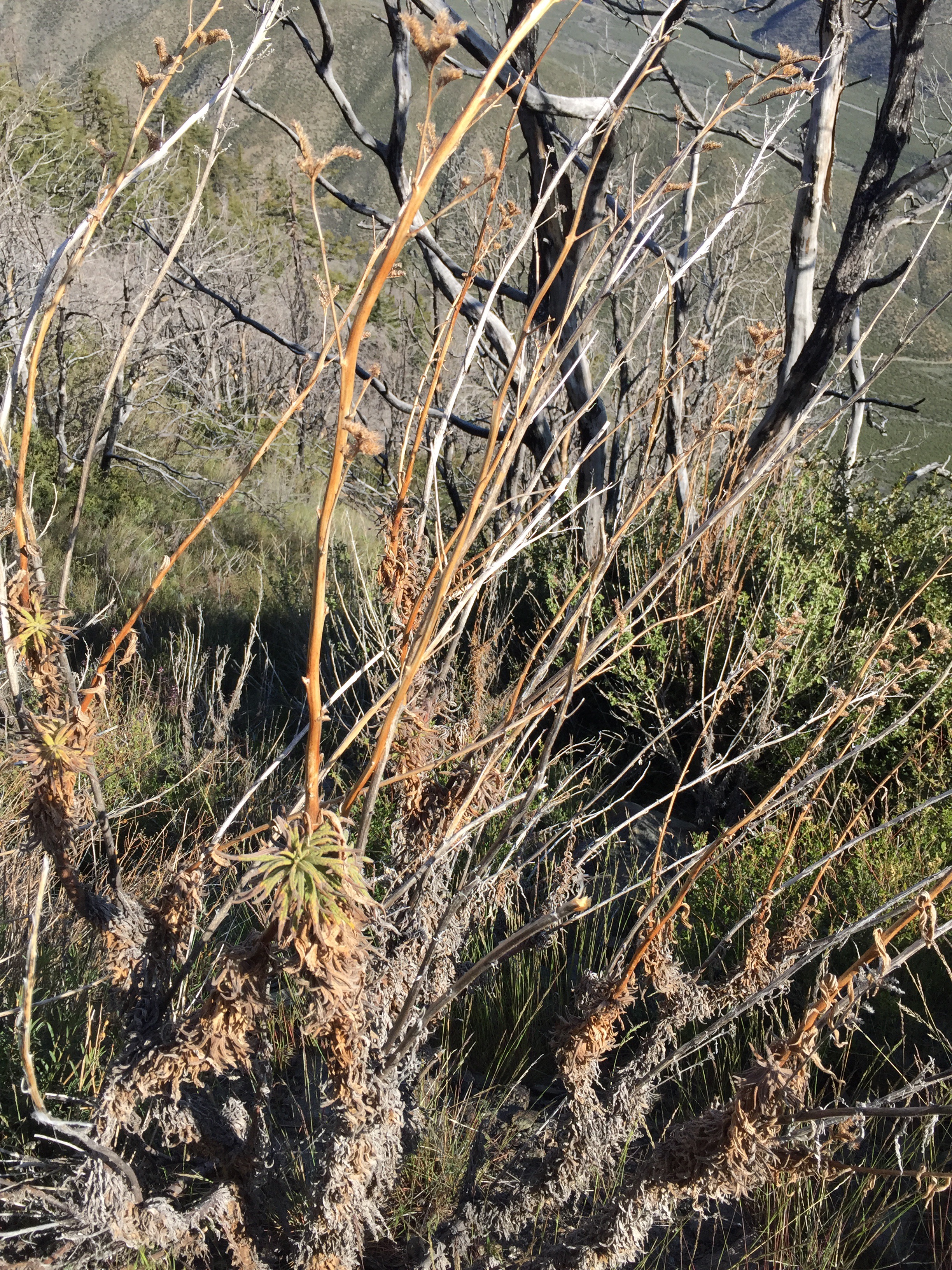
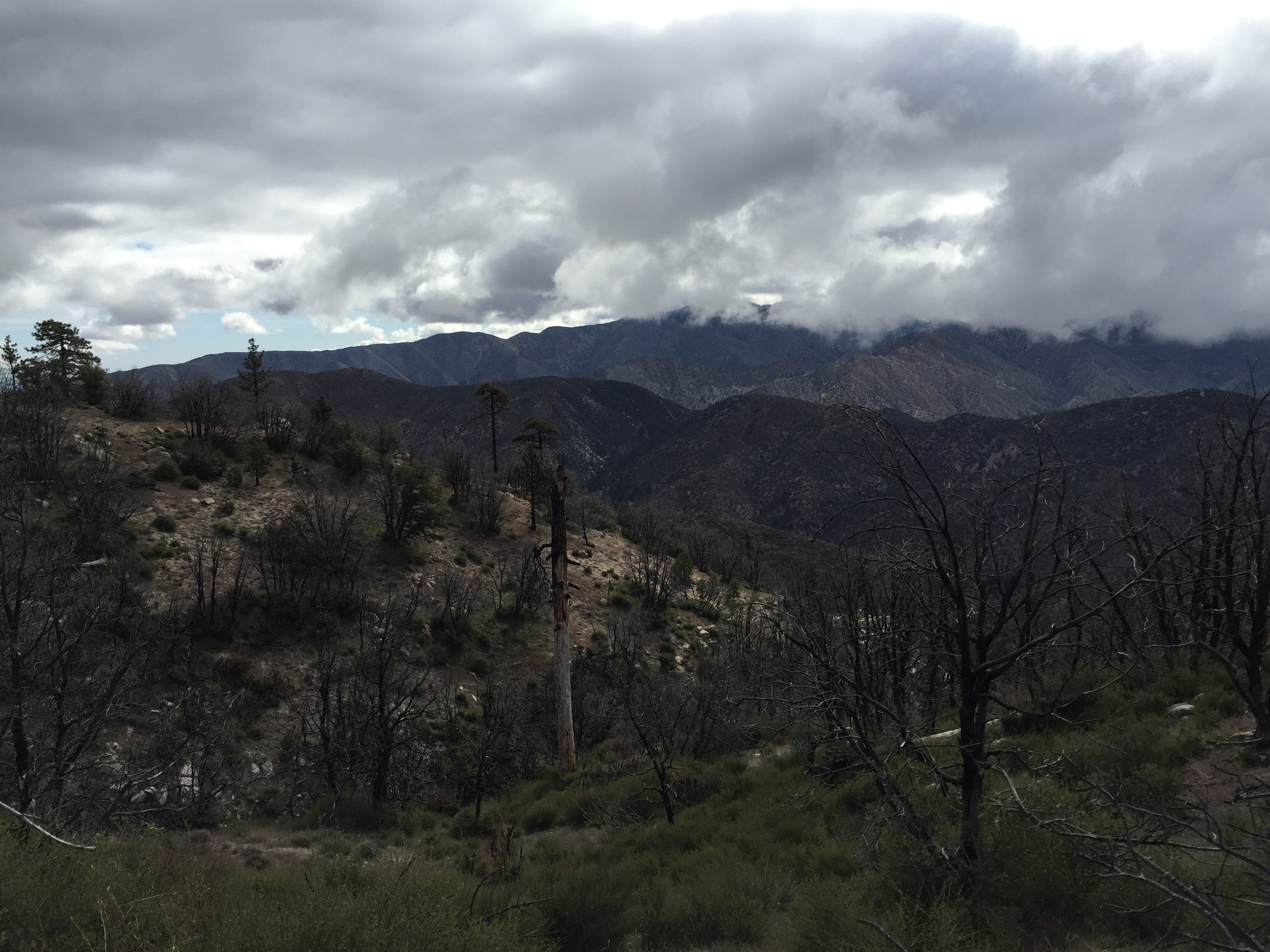
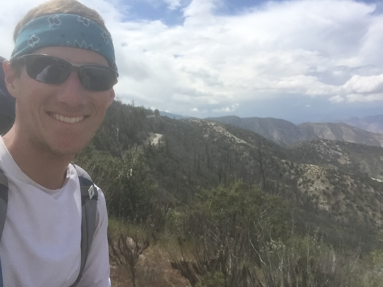
The next 6 miles were sunny and warm. I had a few good views of the flat desert below. But the area was completely covered with Poodledog Bush. This stretch is suppose to be the worst of the worst on the trail. In previous year, many hikers would take an alternate around this area because it was near impossible to get through without being exposed to the plant. 

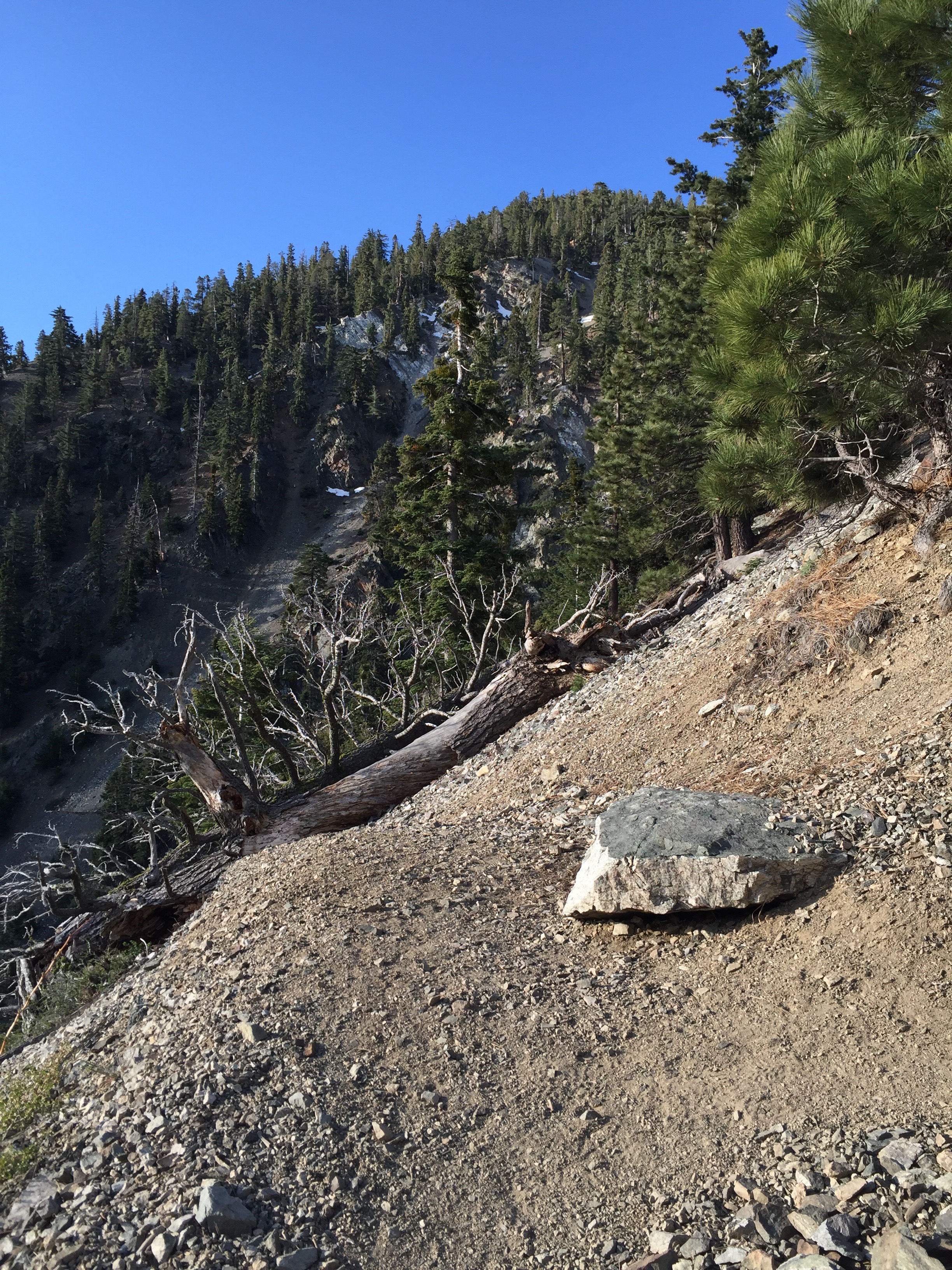
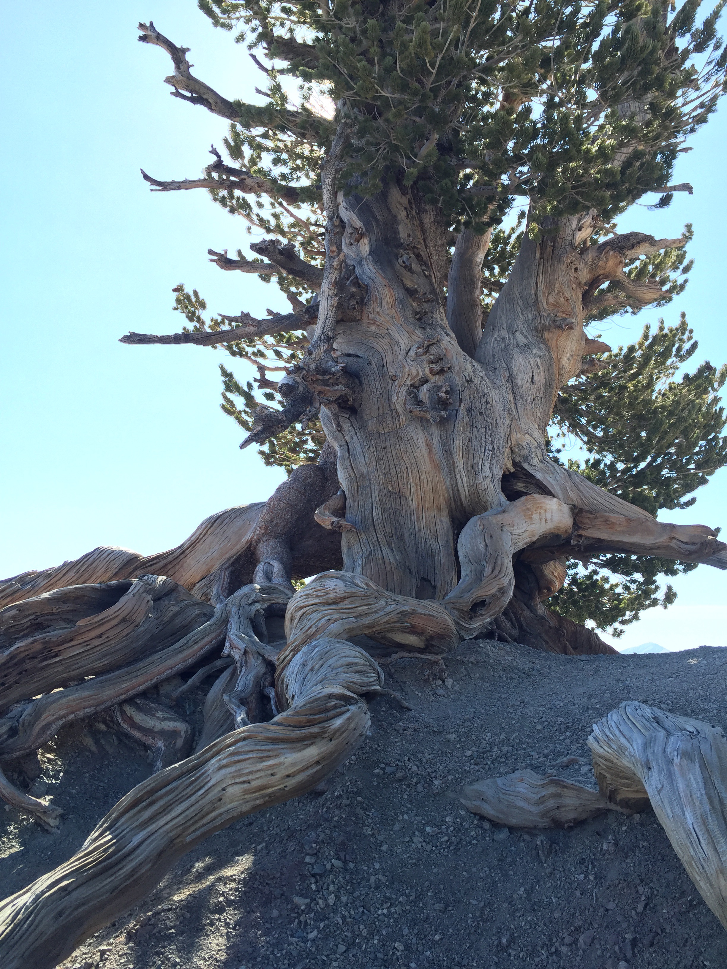
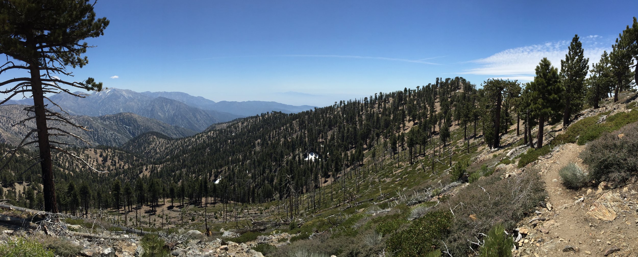
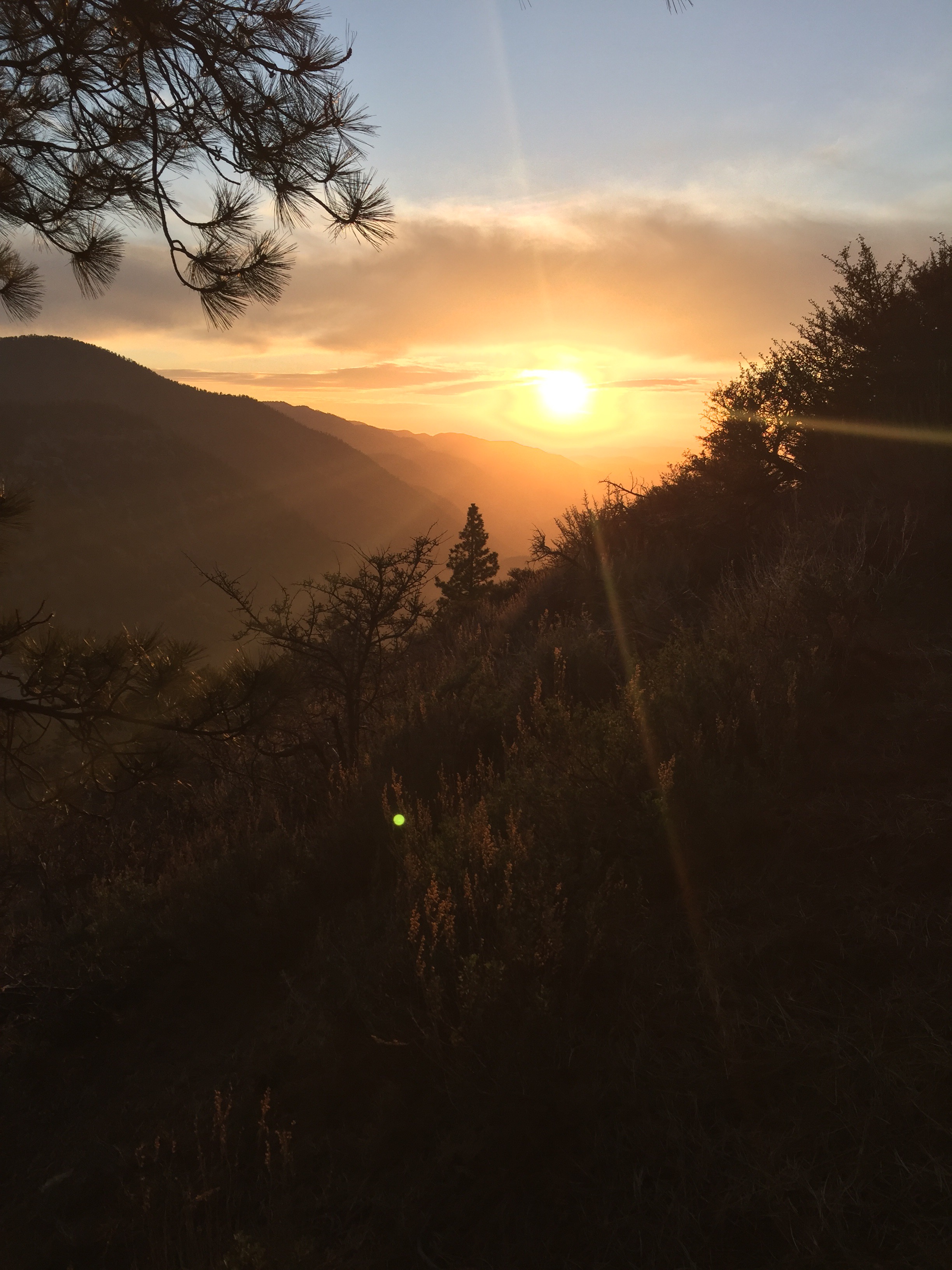
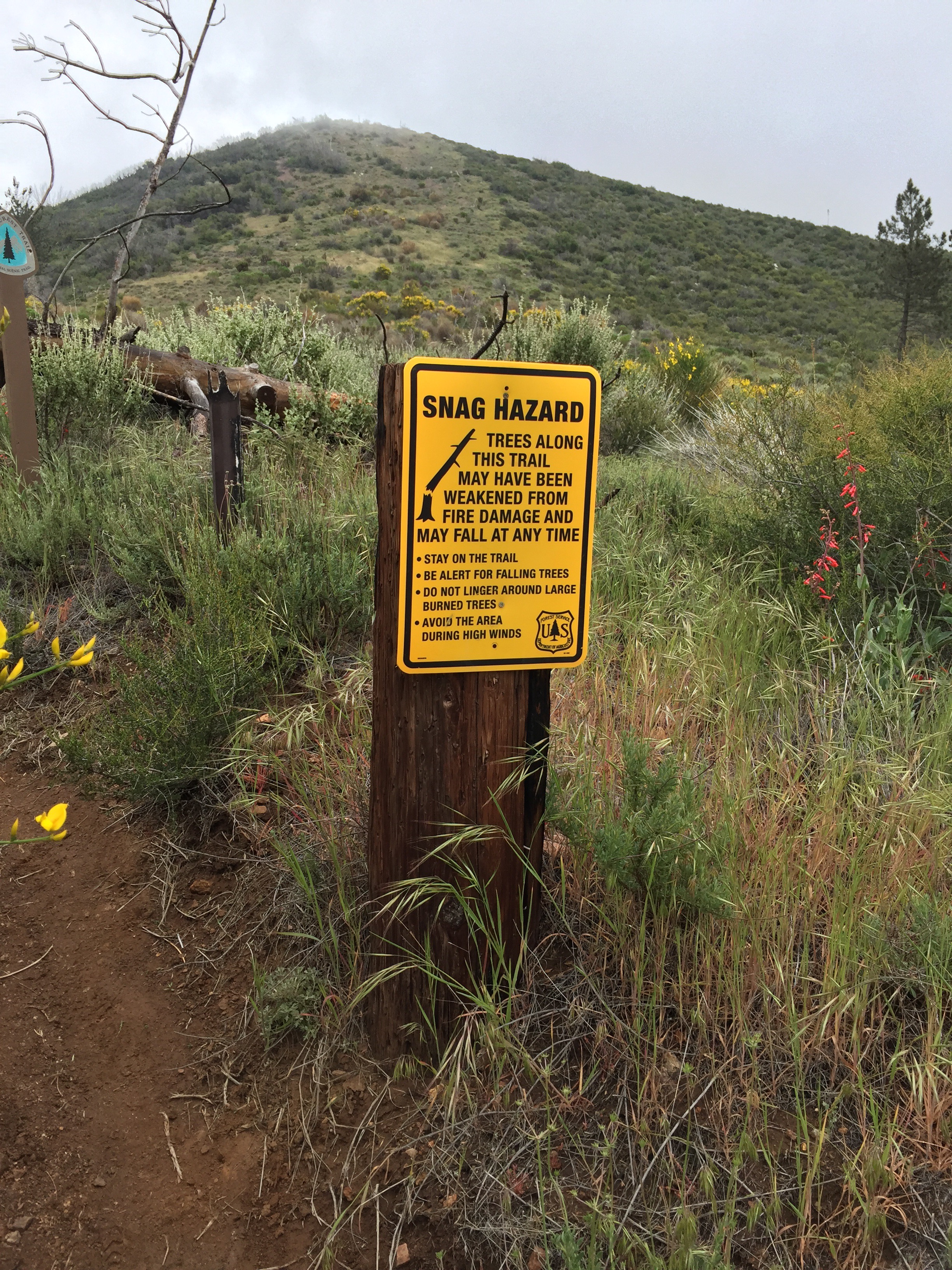
Can you spot the Poodledog Bush?  This made this section difficult.

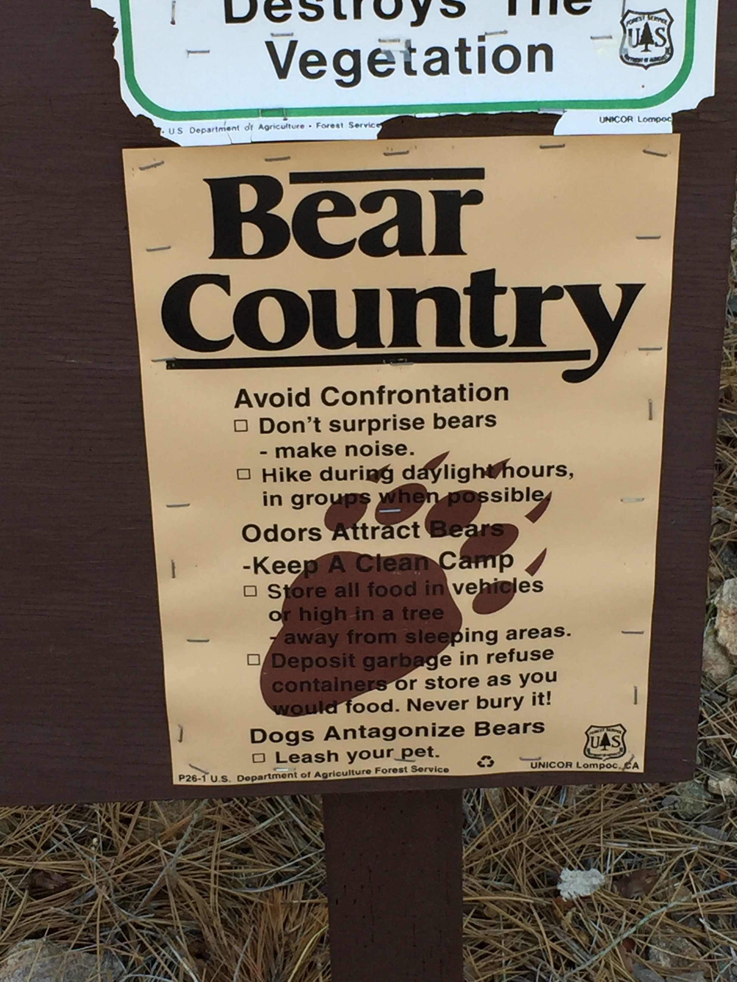
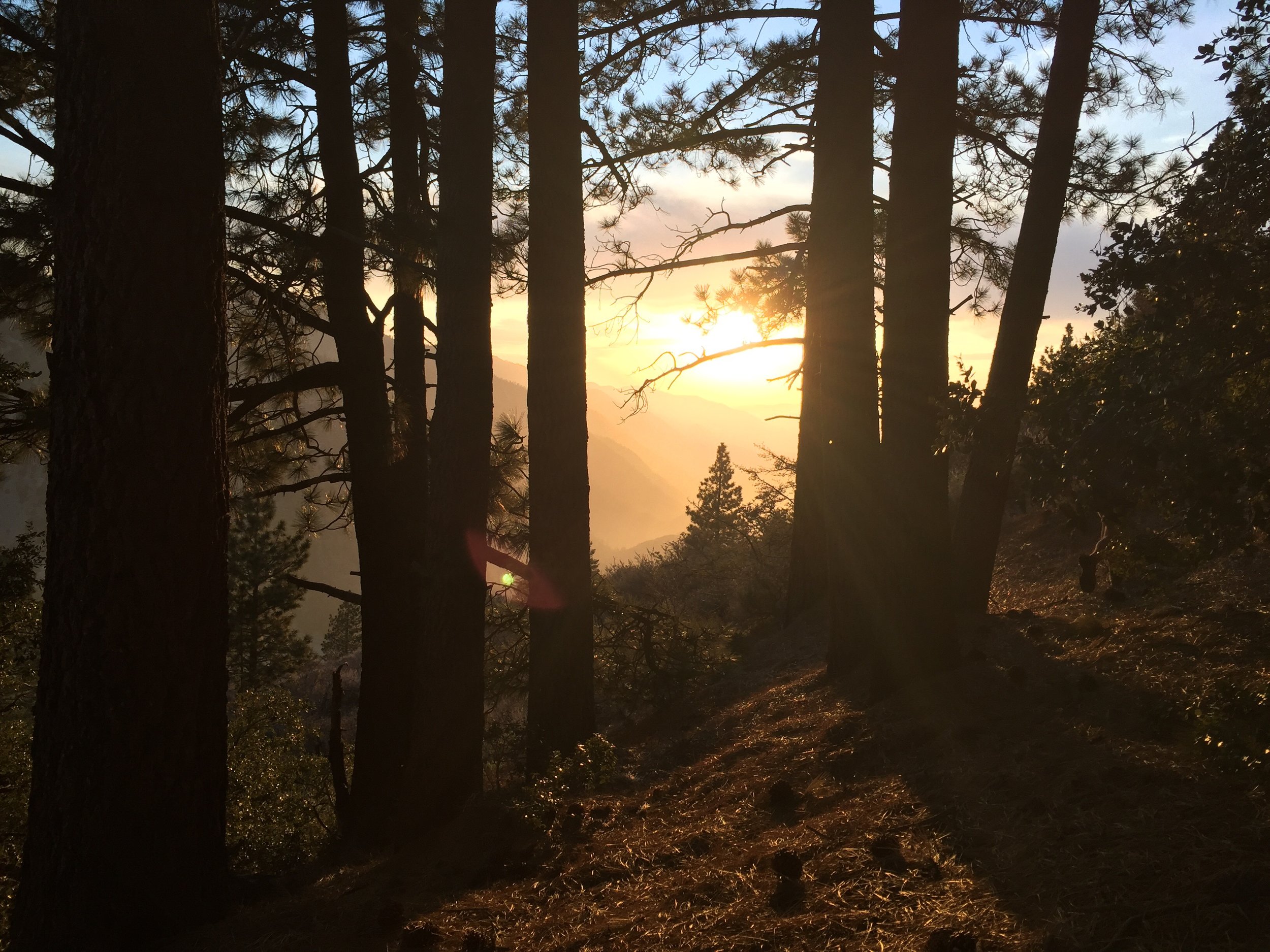
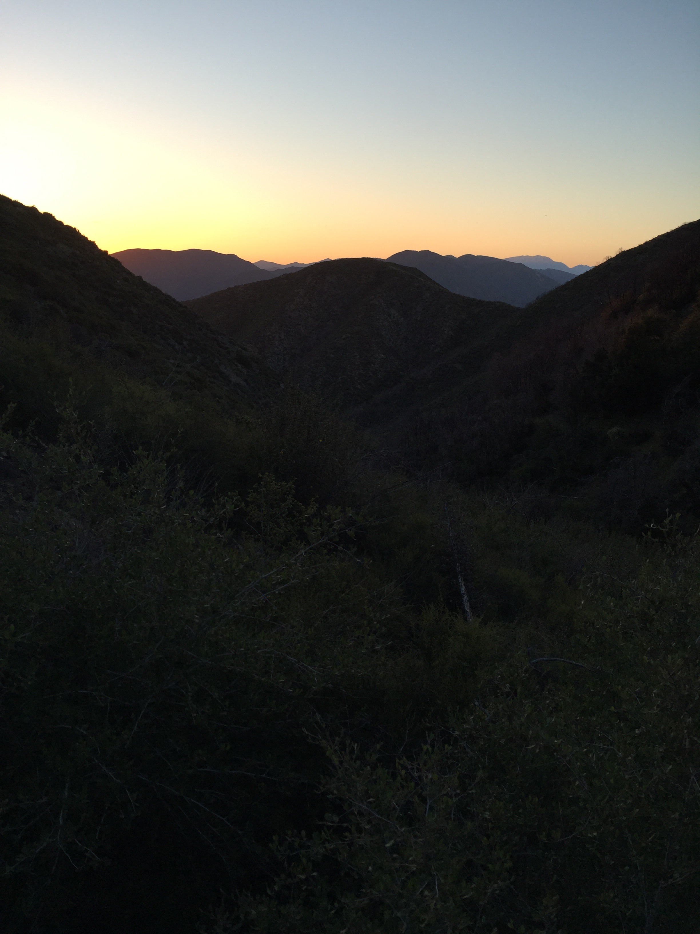
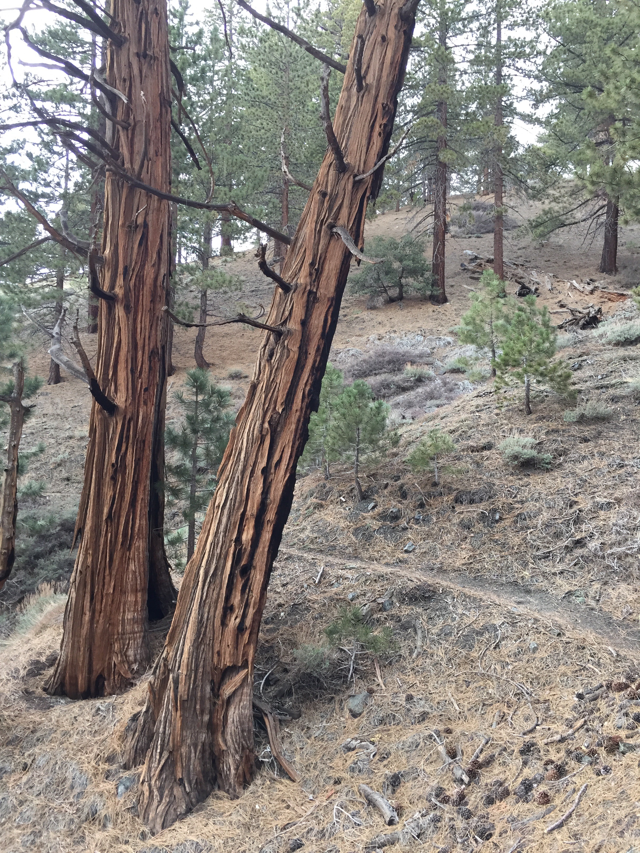
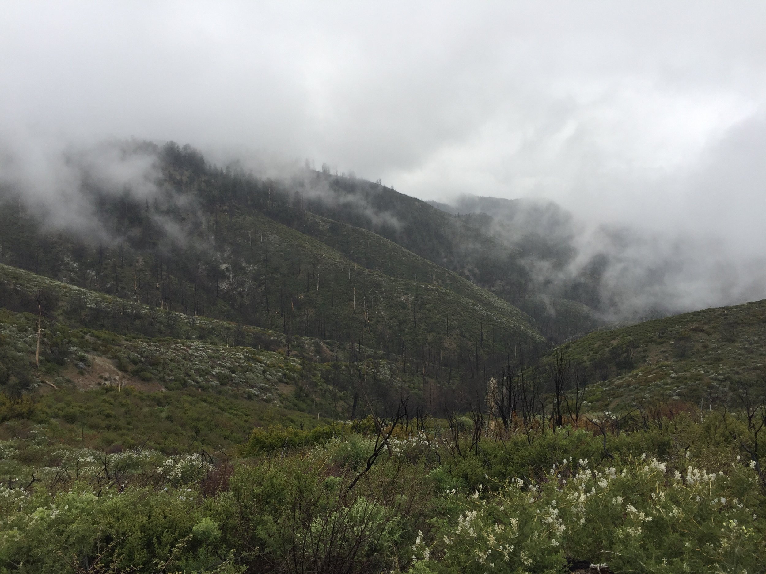
The last 6 miles of the day, I was still dodging Poodledog Bush when the weather rapidly changed.  The fog and wind were back, then it started to rain. I quickly put on my pack cover and rain jacket and nearly ran to the Messenger Flats Campground. I think my average pace was 3.5 mph for this section. Also there where Widow Maker warning signs everywhere.  
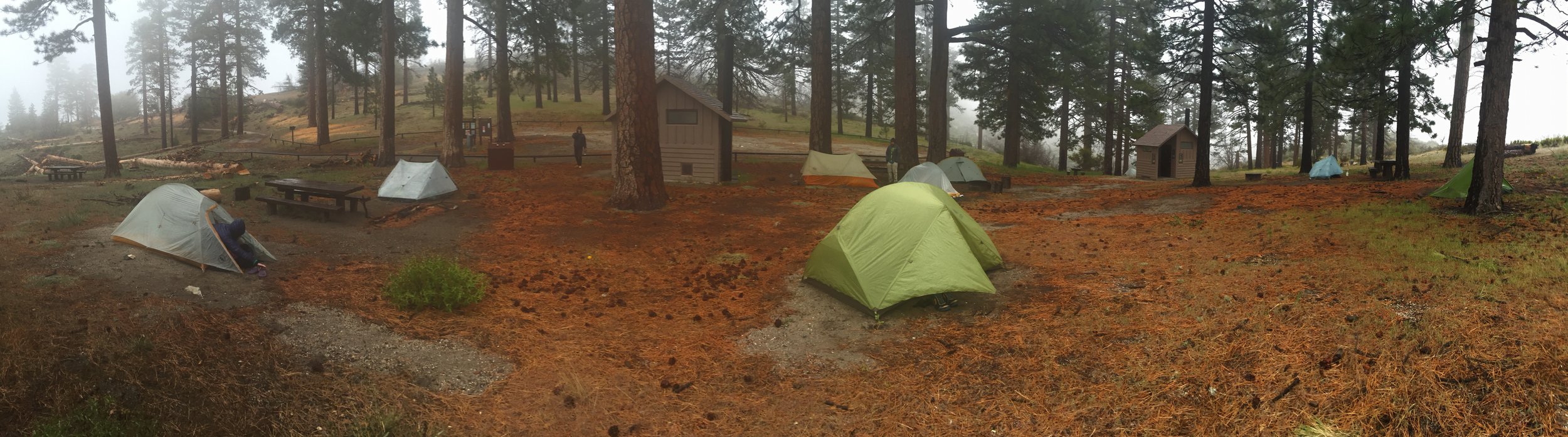
When I arrived at camp, almost everyone else in the group was already setup. I was cold and caught a break in the weather. I setup my tent in, for me, record time. I think in less than 5 minutes I was in my tent changing my wet clothes.

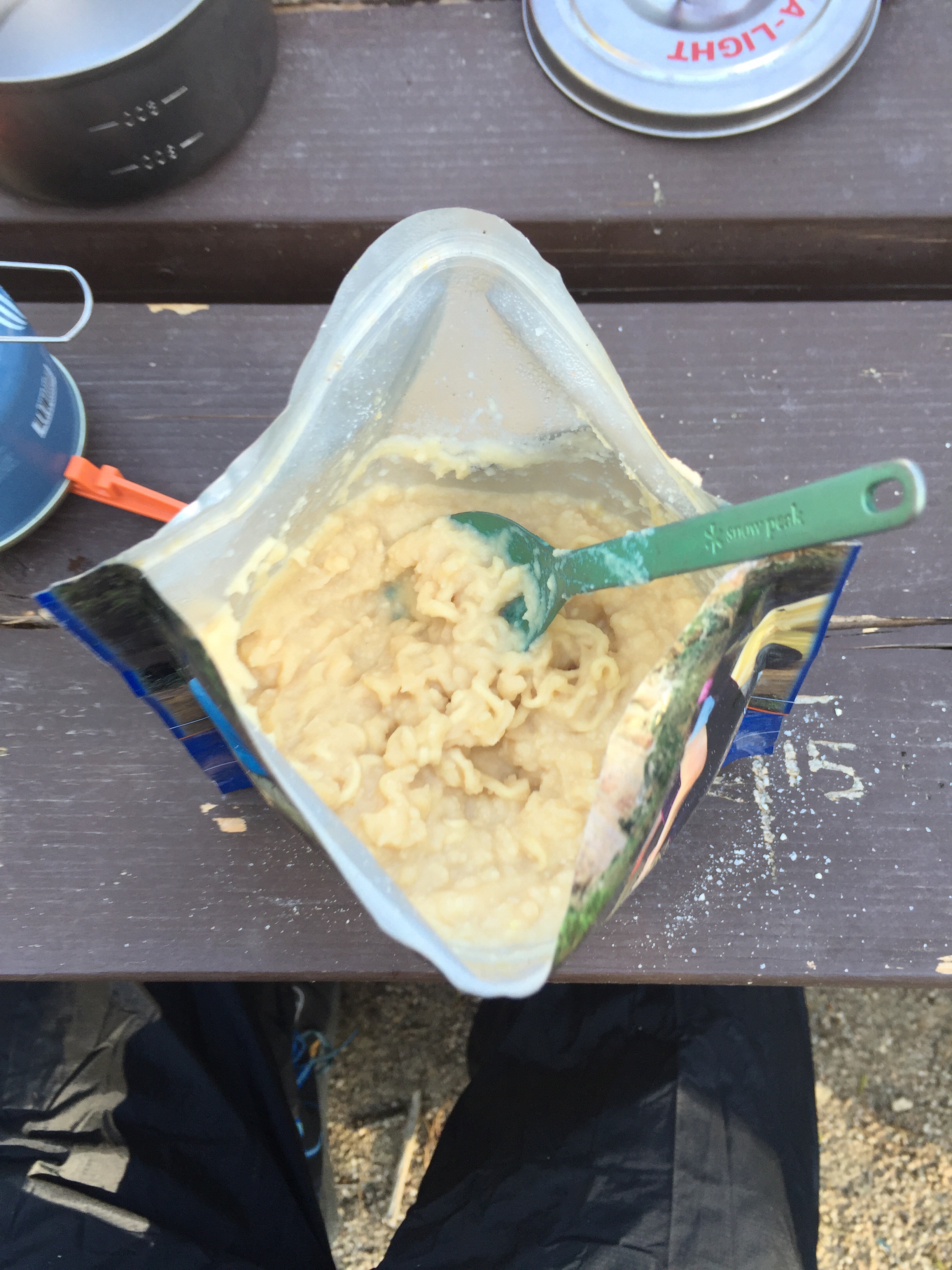
I spent the evening staying warm, eating and writing this entry. Tomorrow it is suppose to be sunny and warm... I really hope the forecast is correct. 

In Pacific Crest Trail
img_3127.jpg

Day 23 - Mt. Baden Powell. 390.2 (17.2)

Kevin Silvernale May 8, 2016

I was awake and up by 5:30. I thought it would be fun to get up really early to watch the sunrise on top of Mt Baden Powell, but decided sleep was more important. I was the first one up and out of camp. The climb up Baden Powell wasn't too difficult. It did turn into a bit of a scramble for the last mile or so. Lots of icy snow blocked the trail. I was the first one to the summit trail, so I waited 10 minutes or so for a few others to arrive. It was a perfect opportunity to eat some breakfast. The summit was both windy and cold... A brutal combination.  Back at the bottom of the summit trail, I relaxed and ate second breakfast. I would eat nonstop during climbs if I had enough food. 

The summit pictures speak for themselves. 

The next 10 miles were windy! About 2 miles prior to the next water source, I ran out of water. I was a little dehydrated when I arrived, so, that was the first thing I took care of. There were a lot of people eating lunch there which made for a fun atmosphere.  

The last part of today's hike was Mt. Williamson which was another +1800 feet in elevation. Coming down the back side of it, my legs were tired and I was ready to stop for the day. 

Arrived at Eagle Roost (a large picnic area) shortly before ST. Sauna was there, a friend of Alex's, and she gave us some apricots and Oreos. 

I forgot to take off my sweaty shirt until after dinner, which meant I was really cold just before bed. Might have been the coldest I'd been this trip so far. Won't make that mistake again. 

Too cold, only took a picture of dinner. Instant potatoes with ramen. 

In Pacific Crest Trail
img_3075.jpg

Day 22 - Getting out of Wrightwood. 373.0 (4.6)

Kevin Silvernale May 8, 2016

Getting out of town is tough. This will be said many more times during this trip I'm sure.  I actually set my alarm today. 6:10. I had a lot of things I needed to take care of... Before anything else was going to the Grizzly Cafe this morning. 

My order was The Grizzly Waffle Combo. I chose to add blueberries to the waffle. It also included 2 eggs, and 2 bacon strips. The chocolate milk tasted too good.

Next I needed to figure out how much food I needed to buy and what needed to be shipped home. Then actually go to those places.  I relaxed at the lodge for a bit and had some lunch. As noon passed, I figured i should start packing up. This took a while as my pack had exploded all over the room. 

Around 2:30 I was all packed up and on my way. I met up with the group at the grocery store and Mr. Clean (formerly Viet, will be referred to as MC from now on), ST and I caught a hitch with Rocky. She is the manager at the Cedar Lodge in town. She also gave us a full guided tour along the San Andreas Fault, which runs nearly directly through Wrightwood. Once again, no pictures.  Only put in 4.6 miles on the day. More importantly we got out of town. This always takes time. A little more charge on the cellphone, get talking now with some people, etc.

Out campsite has a pretty sweet view of Mount Bolden-Powell. I will be climbing that tomorrow morning... 5 miles starting with -800 then +3000 feet ending at just under 9300 feet above sea level. 

I learned a different way of setting up my tent, tarp tent style. 

The haze did make for a beautiful sunset. 

In Pacific Crest Trail

On Trail Update: 5/6/2016

Kevin Silvernale May 6, 2016

Due to poor cell/data service I will not be posting day 22 until Sunday. In the meantime here is a photo from a few days ago. It literally took 20 minutes to upload. 

In Pacific Crest Trail
img_2984.jpg

Day 21 - 9 Thru 12 By, 9 Thru 12. 368.4 (21.9)

Kevin Silvernale May 5, 2016

My alarm went off at 4:15am and I was all packed up and out of camp by 5:15! Immediately I was in a rhythm. My goal was simple. Hike at least 10 miles by 10am. I did one better. 9 miles by 9am. I even had 15 minutes to spare and I took a bunch of photos of the sunrise.  By doing 9x9... It makes it easy to hit all the others. 10x10, 11x11, and 12x12. I think in the desert when it is flat I will by 8x8. 

Today was all uphill with a short and steep downhill to highway 2 (which leads into Wrightwood). To be exact, elevation gain was 7200 feet and loss was 3500 feet. 

It was filled with really cool views as well as my first view of Poodle Dog Bush. P.D.B is a plant that has an oil which is similar to Poison Oak, but only grows in areas that recently (last 20 years) had a fire. However it's description says that the effects last longer and the irritation is more intense. I made sure to keep my distance. There is more of this plant ahead, especially in the early 400's (miles).

After mile 10 (around 9am), I stopped and ate breakfast. I figured I had an hour or so before I needed to hit the trail again for the 11 and 12 marks.  Around 9:30 Riley, Alyssa, Viet and ST (Skinny Thor) met up at the breakfast spot and then we all hit the trail together. Riley, ST and I bolted ahead (I lead the group as I will still feeling really good). Soon Riley dropped back to walk with Alyssa (they're engaged) and ST and I continued our fast pace. Near the top of the climb, about 8000' above sea level, the storm clouds (which had been building all day) dropped hail on us which passed after an hour or so.


It was cooler up top, but the wind stayed calm. There was a lot of the same views and terrain. As we approached highway 2, the PCT wonders onto a ski slope and travels around all the chair lifts. There were also large ponds (man made) which are used to make snow. 

Finally, we reach highway 2 and there wasn't a car in sight. This was my first real hitch (all the other times a ride was offered). For the first 10 minutes we only saw a couple motorcycles. Then there was a guy that pulled over and said he was heading away from town, but he had beer. He pulled out a cooler and gave each of us a can. 

About 20 minutes later, a pickup truck pulled over for us and we all hop in. He was a firefighter for CalFire. He and his son were on their way back from a day hike. 


He drops us off at Mountain Hardware (where my resupply box was shipped to) and then ST and I find our way to the lodge Riley booked for us tonight. 

It is one of the coolest places I've stayed so far this hike. My mom and dad would love it. 

All of us get cleaned up and then head out for tacos. Evidently we timed it just right for $1.50 tacos at a local bar. 

Afterward, we stop in at the grocery store for a few more snacks the hangs for the rest of the evening at the lodge. It was a late night! We all went to bed between 9:30 and 10pm. 

In Pacific Crest Trail
← NewerOlder →