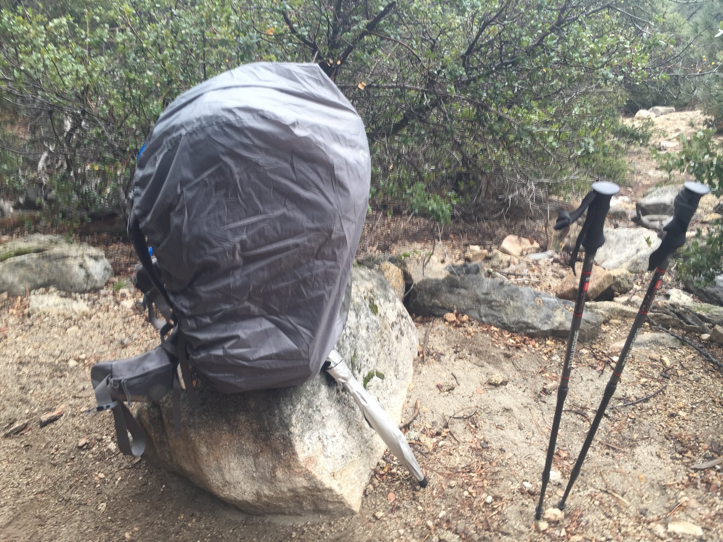
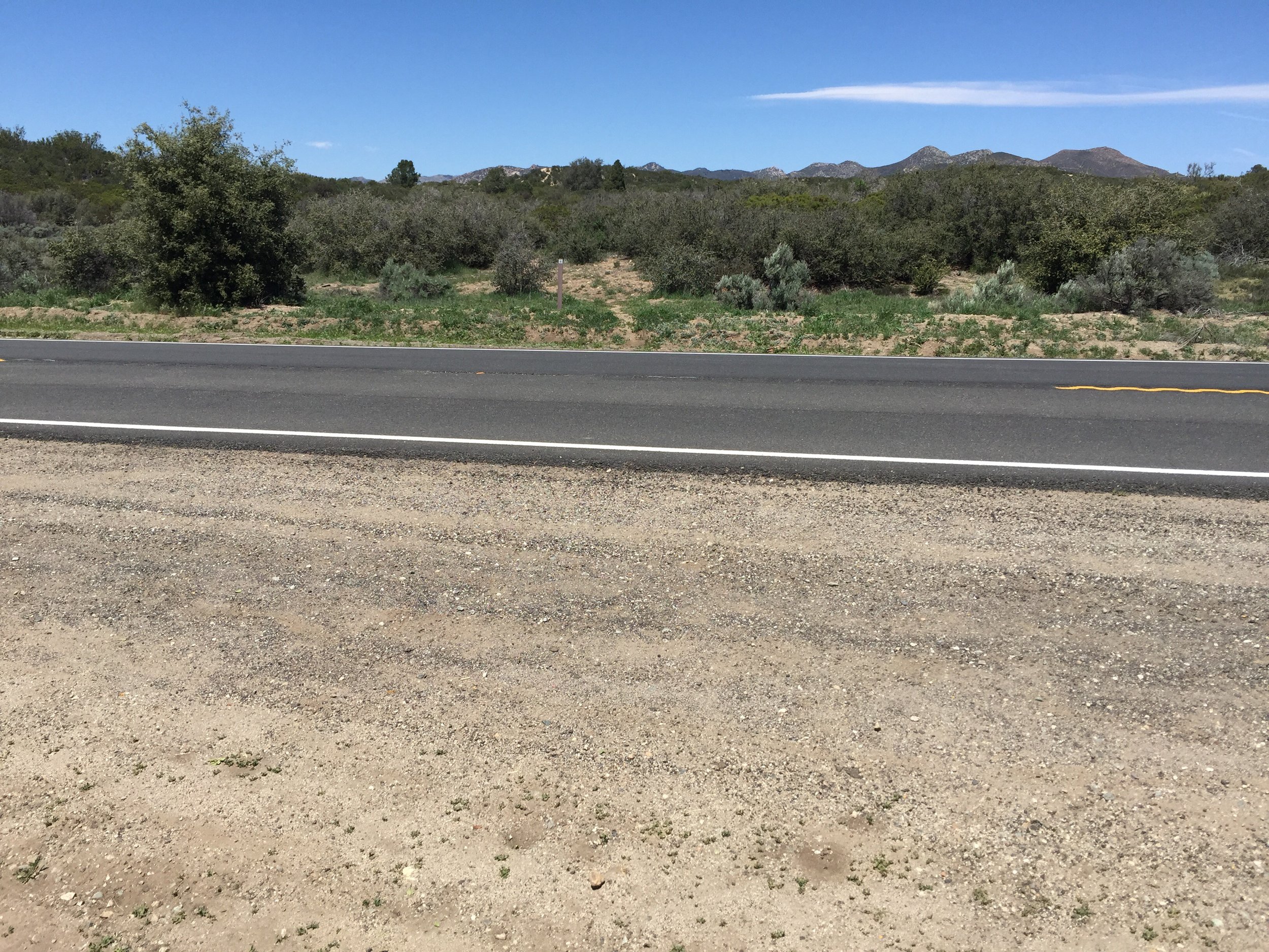
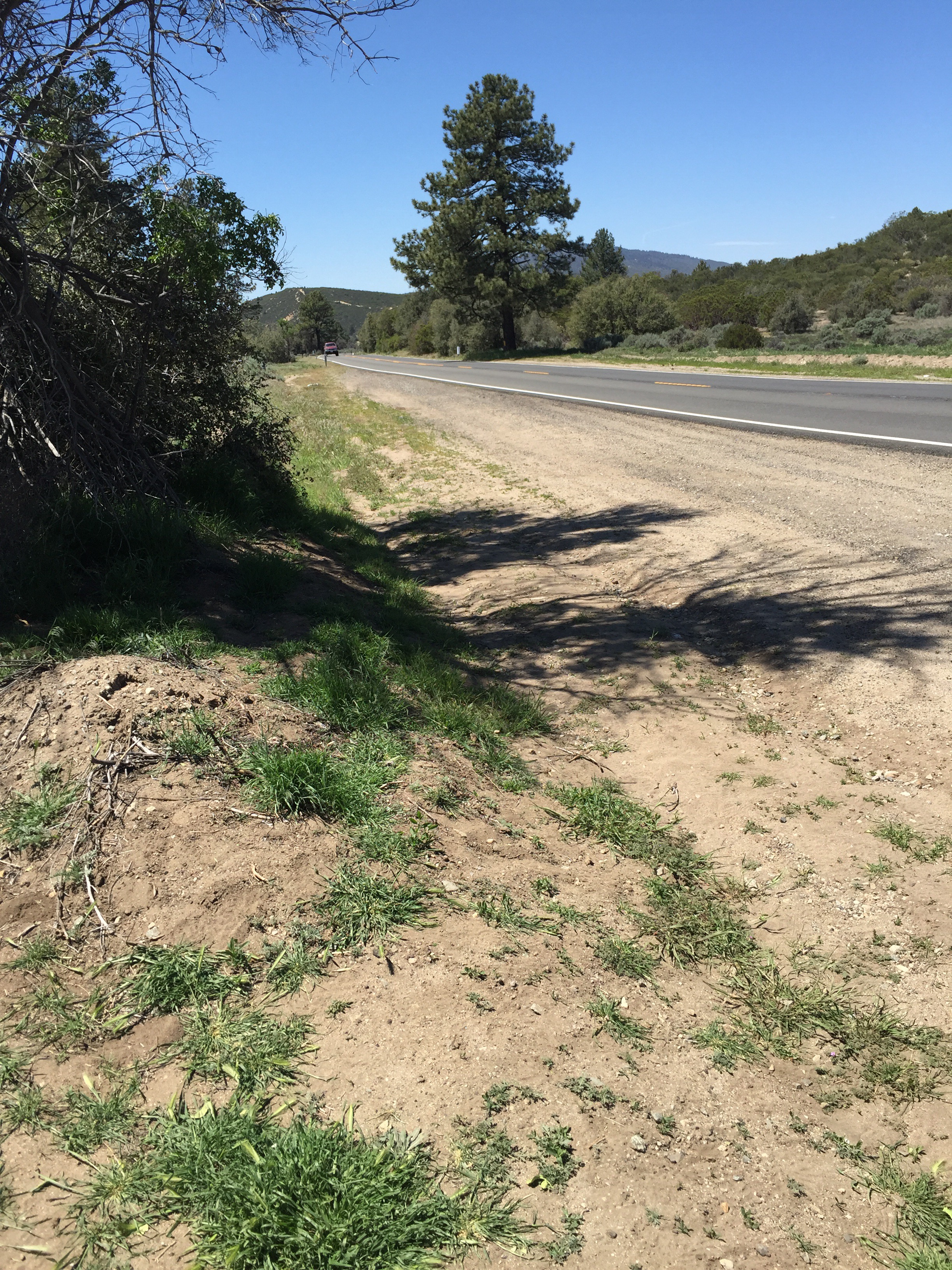
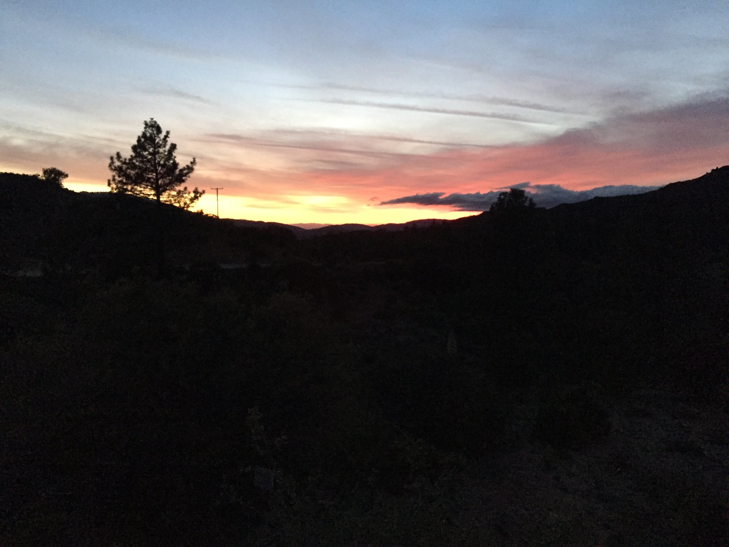
Today was a bit different than any prior days. Only roads. Mostly dirt, but I did hike for almost 2 miles on a very busy Highway 74. 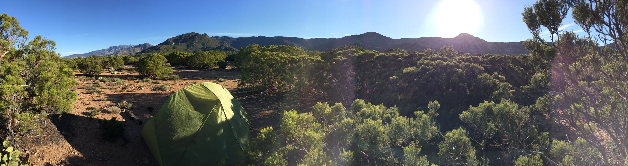
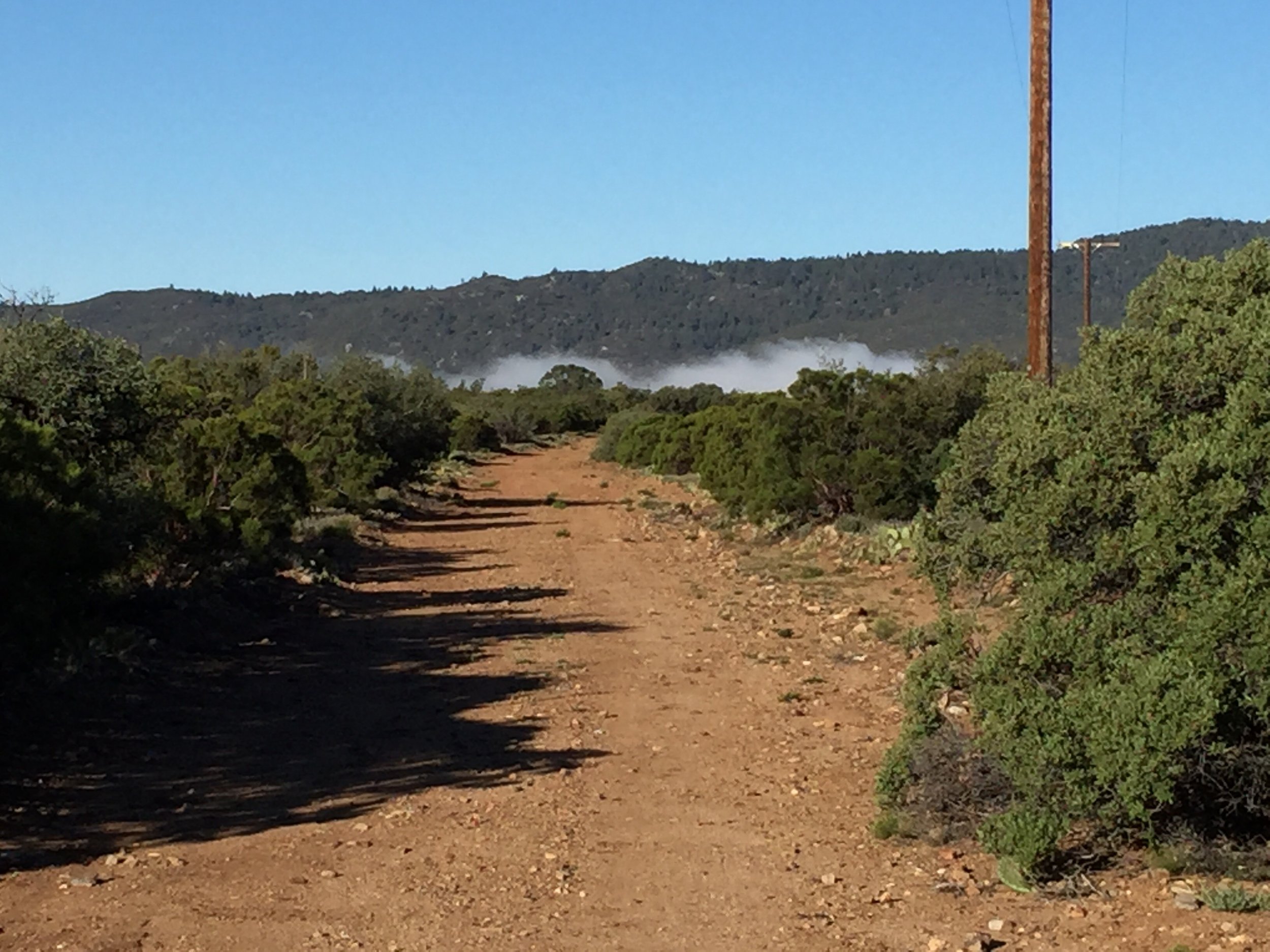
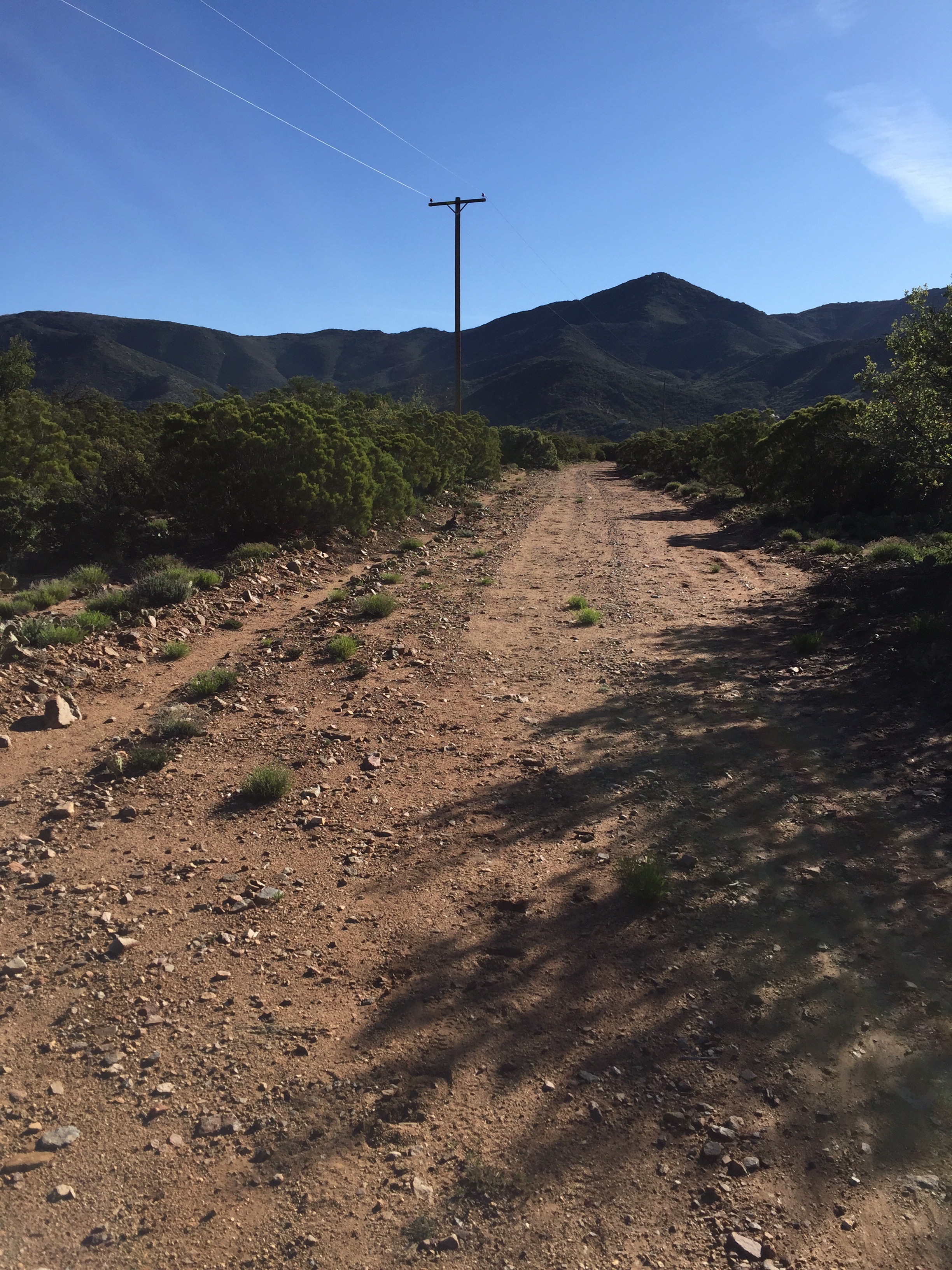
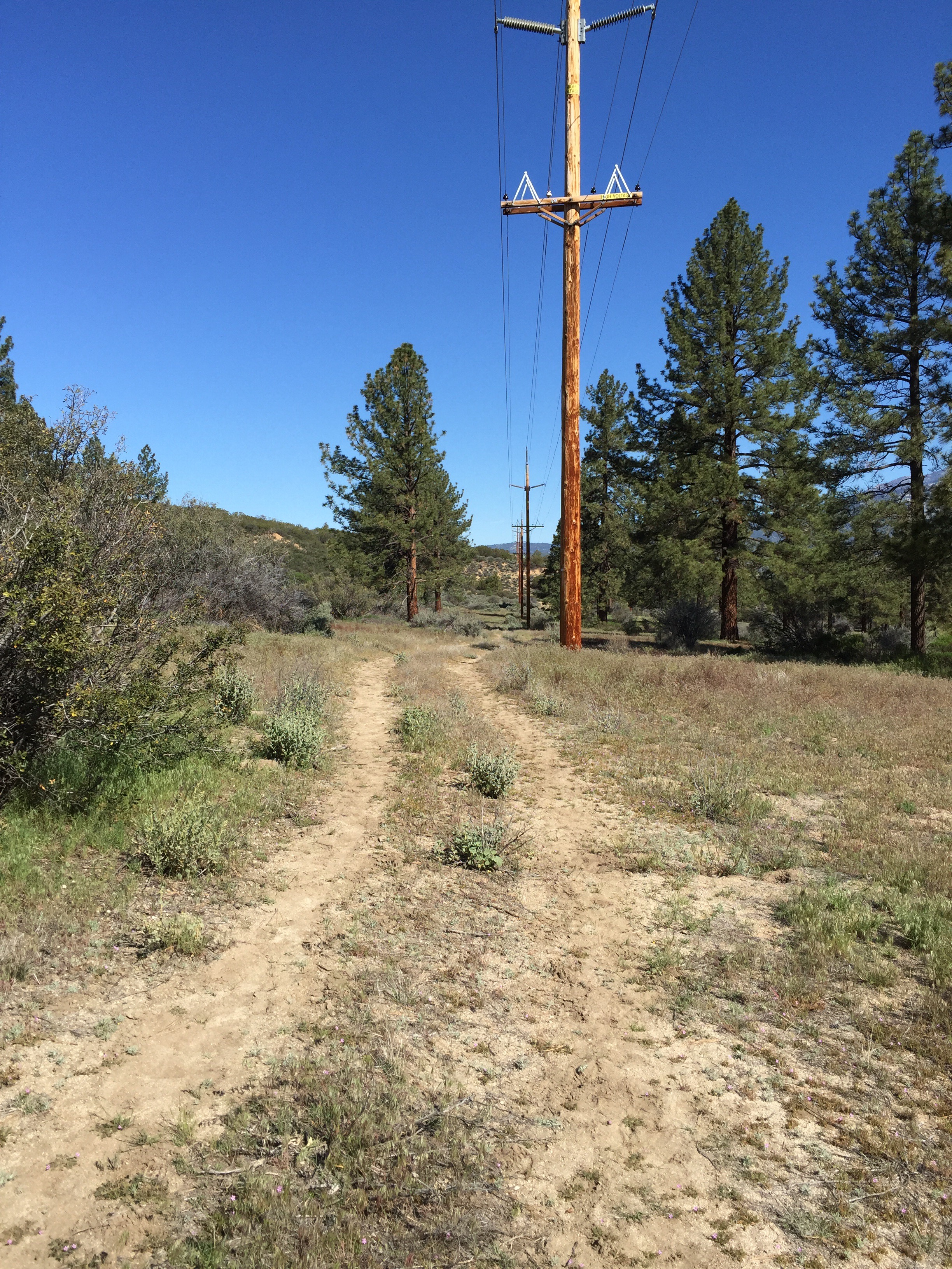
 The dirt roads were primarily along power lines. It made the confusing direction, a little bit easier to understand. Started off listening to some music, then finished off a podcast of The Joe Rogan Experience with Brian Cox as the guest. All of which helped pass the long road walks.

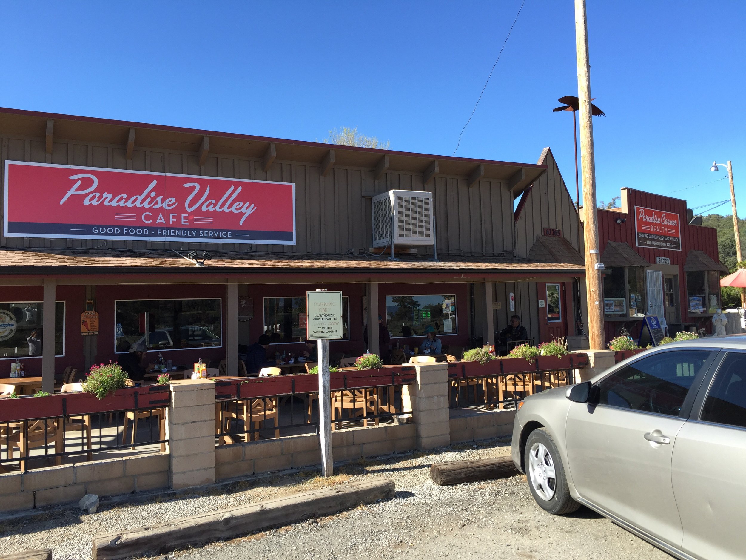
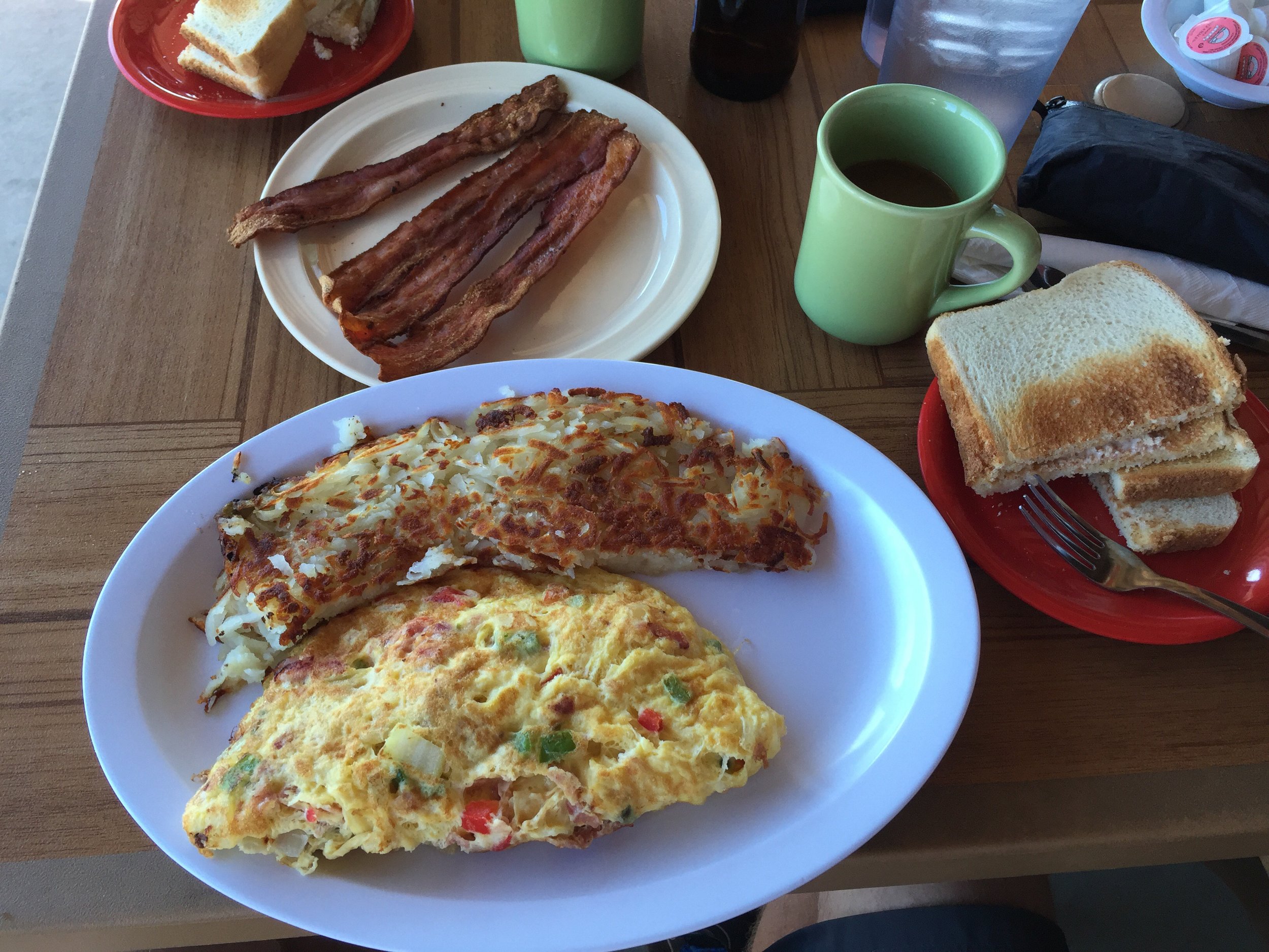
 I see a lot of hikers hitching from Highway 74 to Idyllwild. I am glad I didn't. A little over a mile down the highway walk, I stopped at a market to grab lunch. I was craving a sandwich and some milk. As I am eating, I start talking to Dax (not a pct hiker). He is staying at the campground with his son for a weekend get together. We talk about the trail, life and cross country biking. He is riding over by Durango, CO this summer for 400+ mile bike event/race.

 I wrapped up and started out when Beast Master (the guy who gave me my trail name) is in a van that pulls over next to me. He asked if I wanted a ride into town. I tell him I am going to walk it.
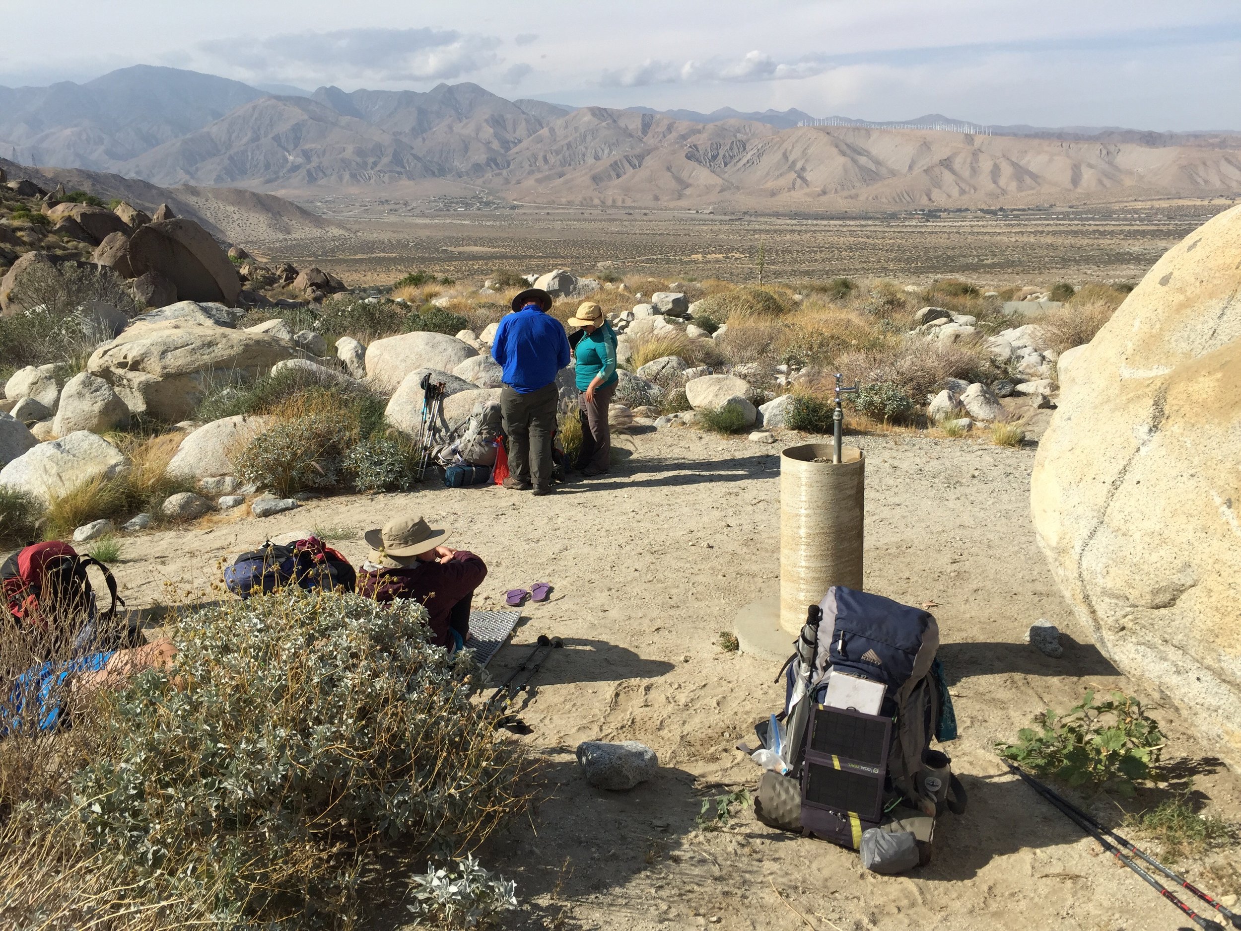
After a little more highway walking I arrived at the Hurkey Creek Campground. From there I resupplied on water and wondered around trying to find the next path I needed to take.
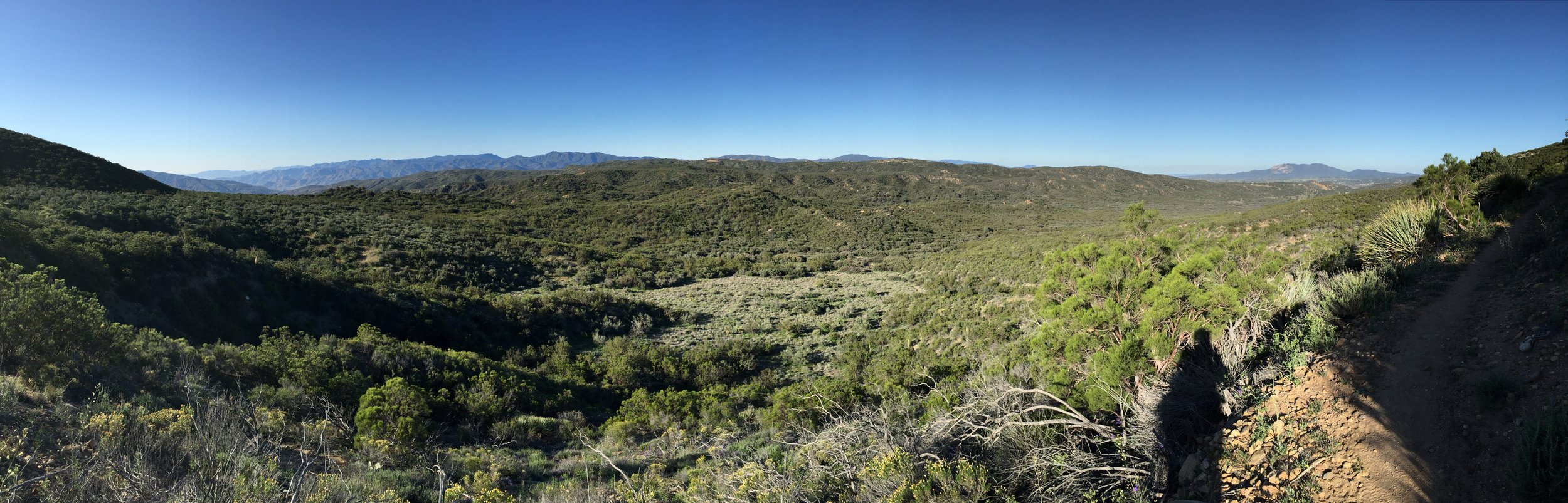
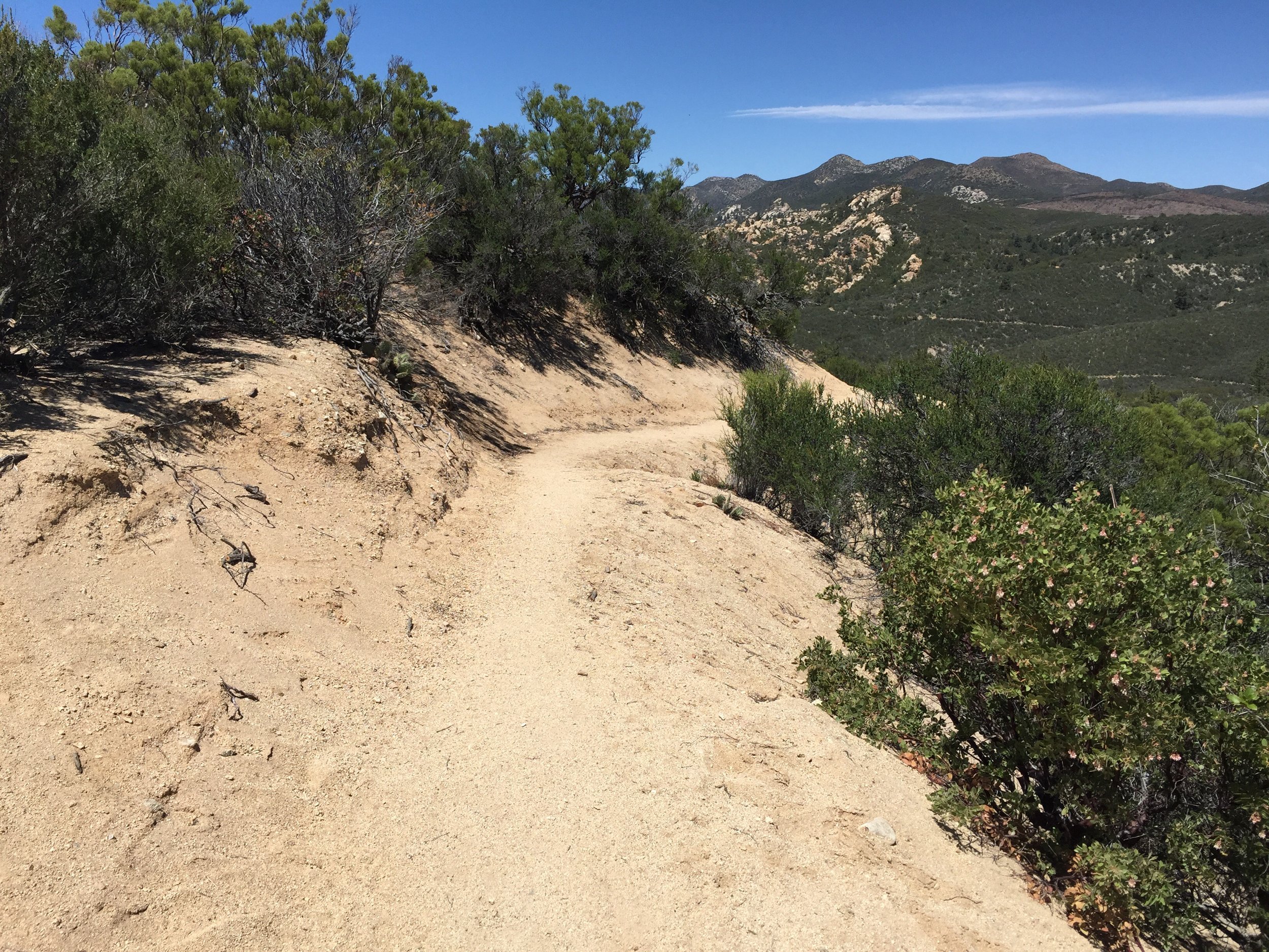
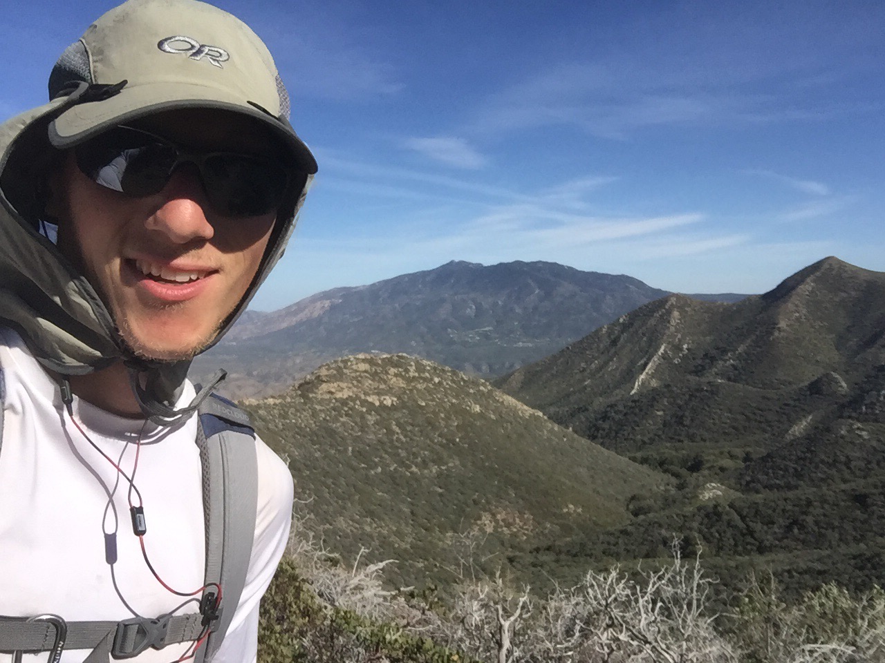
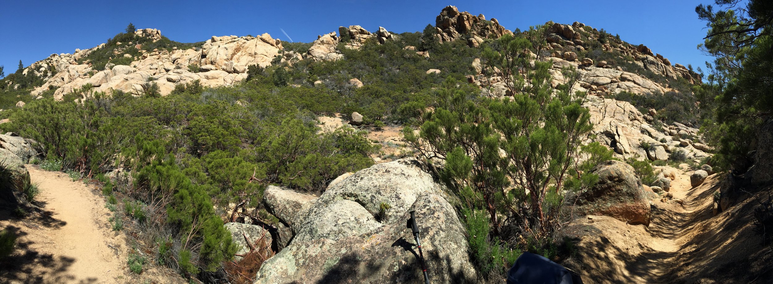
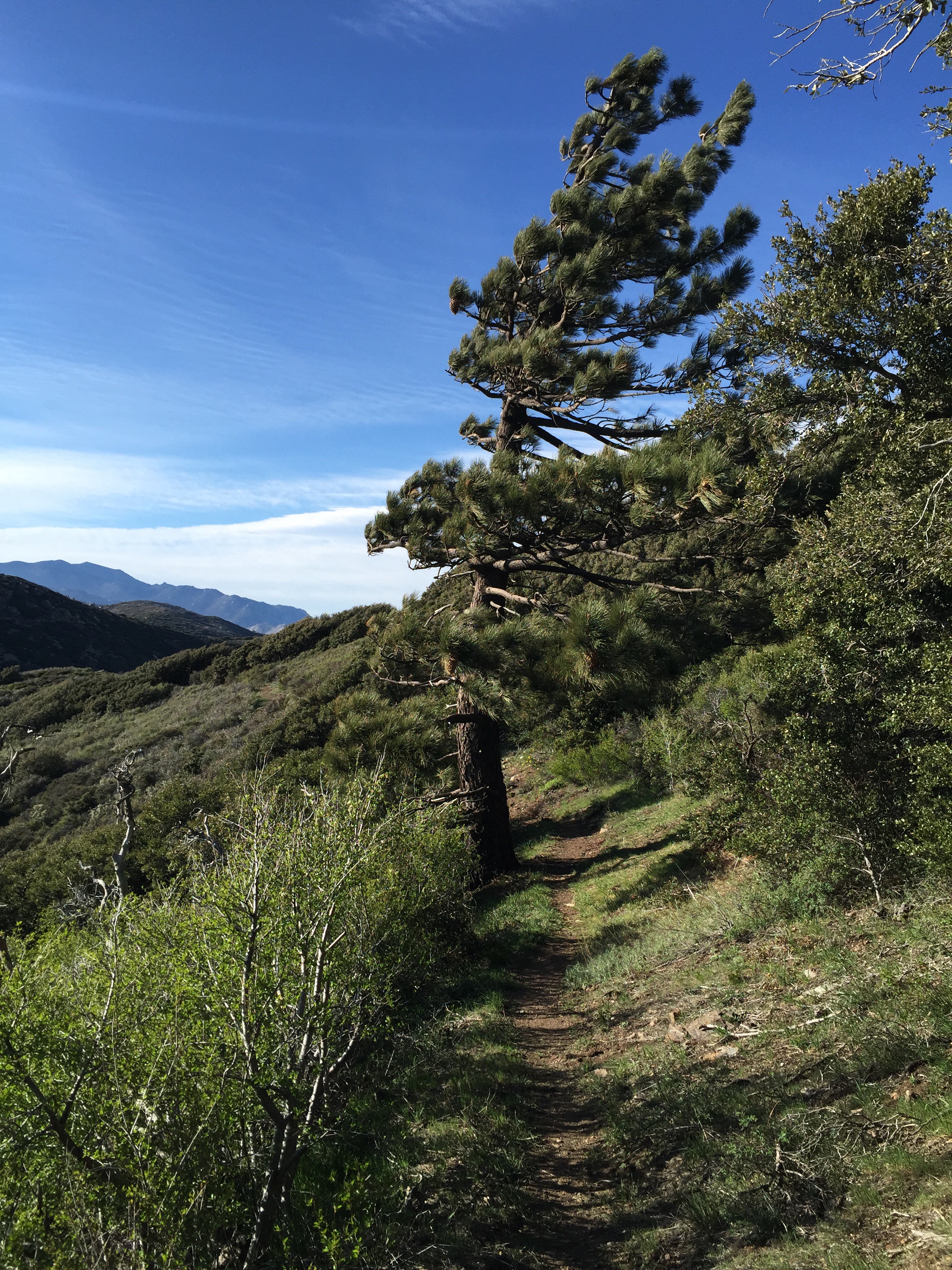
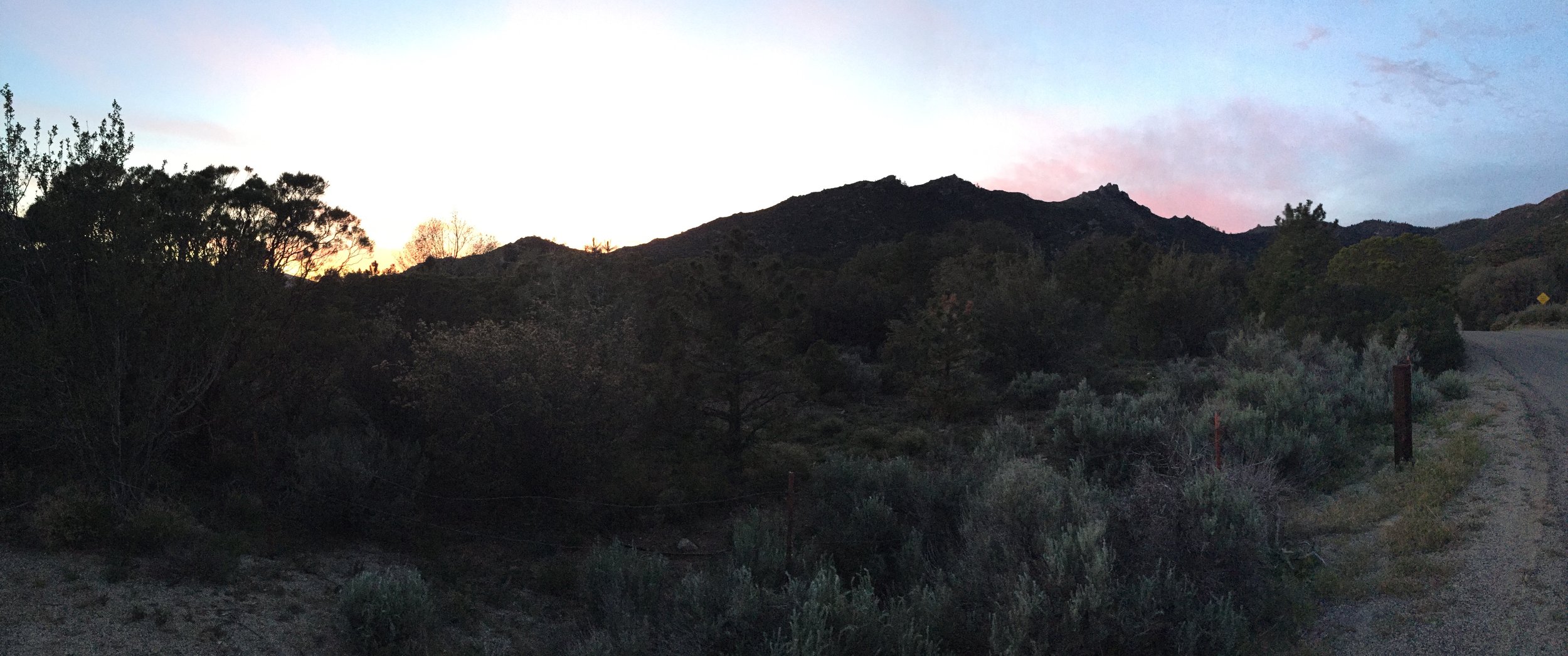
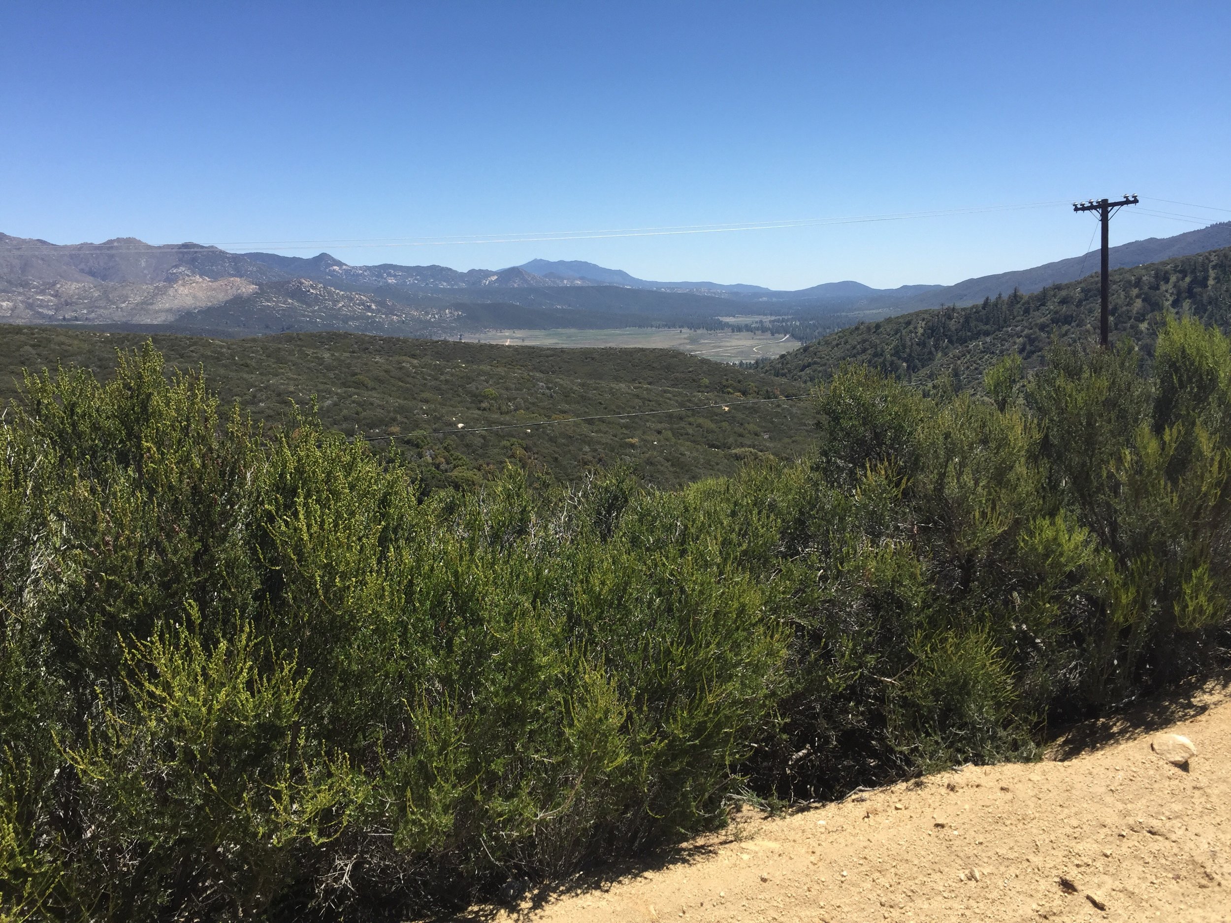
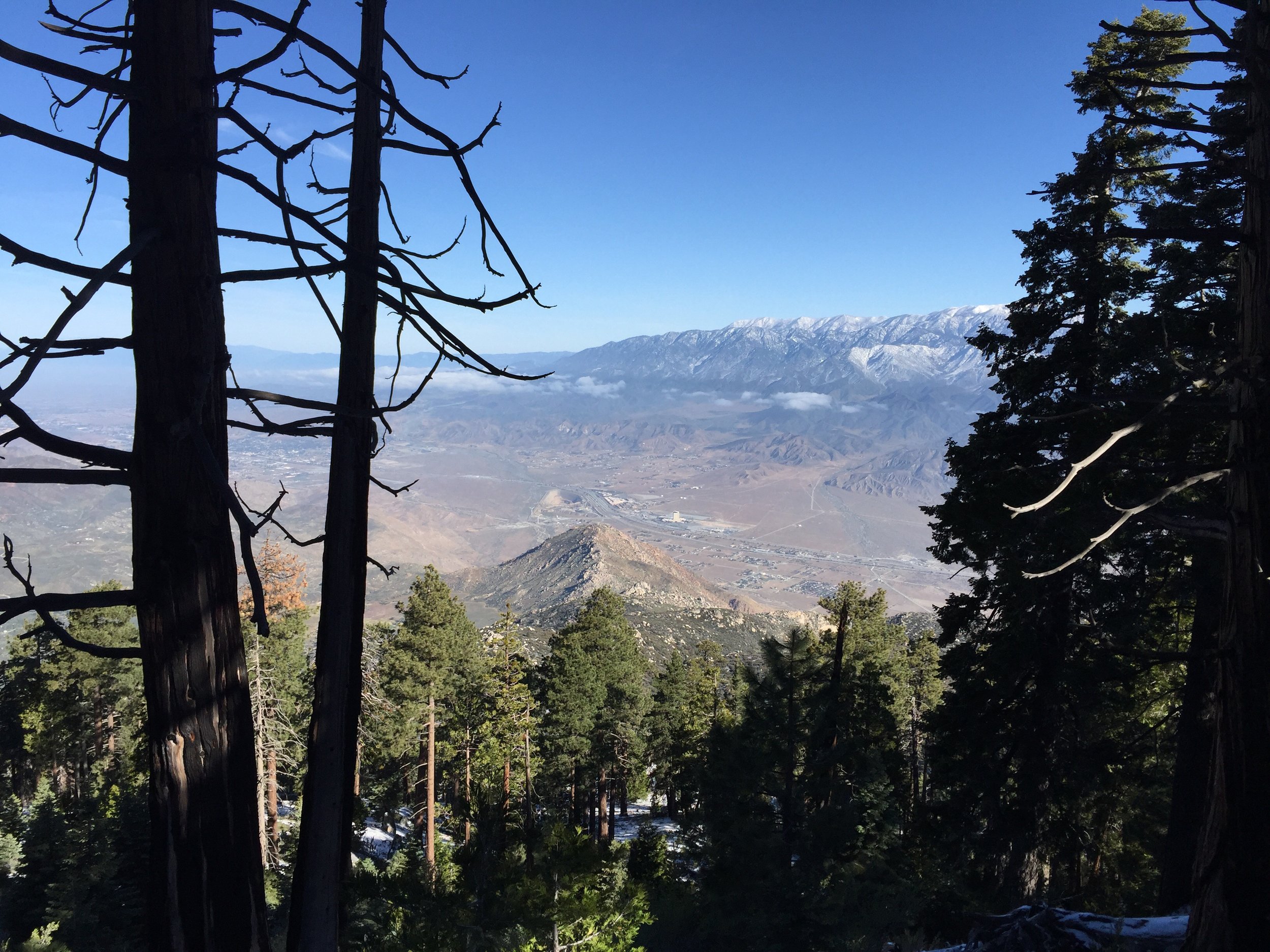
As I walked up the steep power line road, the views only got better. Was unsure exactly how far I needed to walk till I would turn onto the last road of the day.


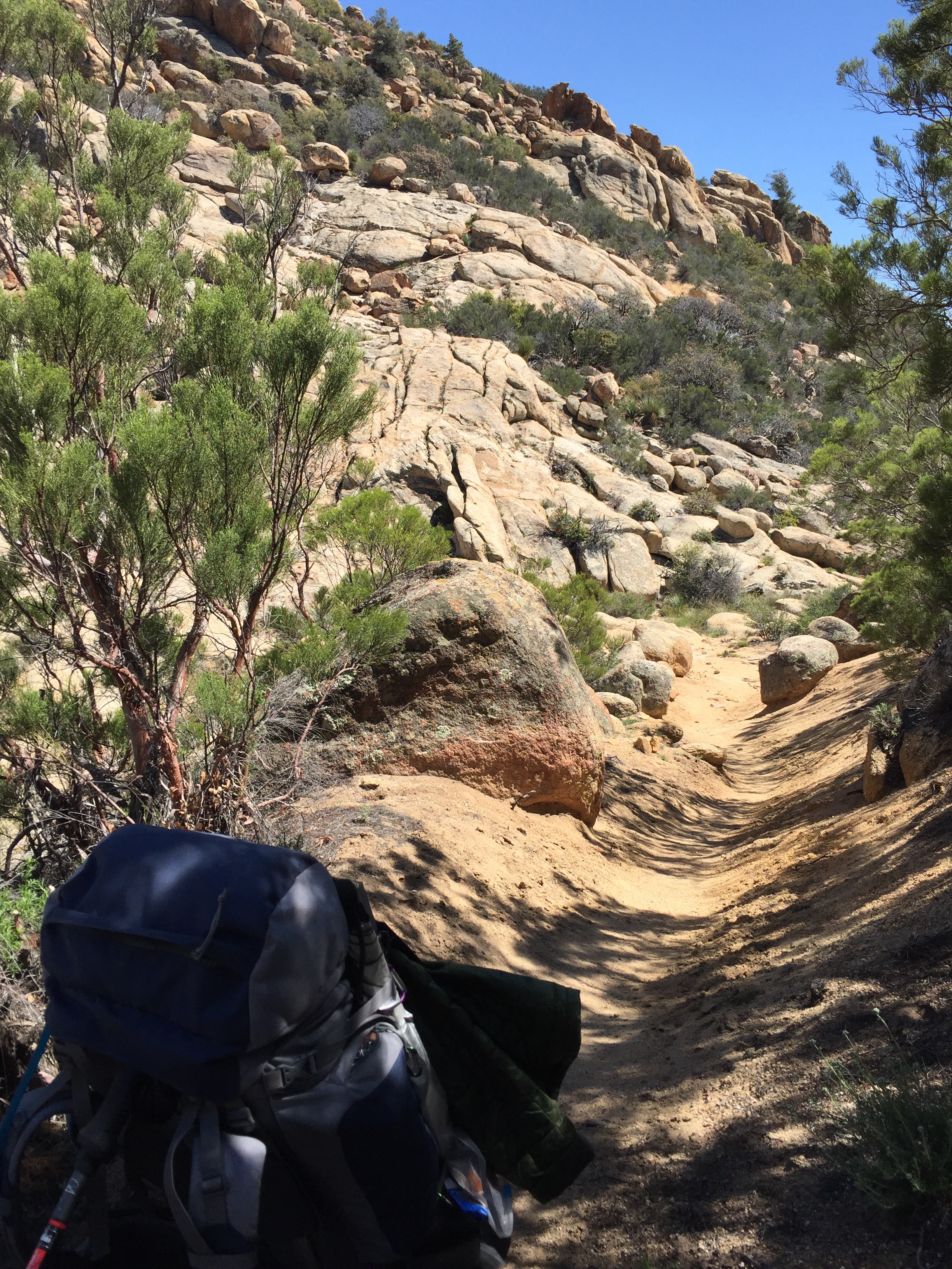
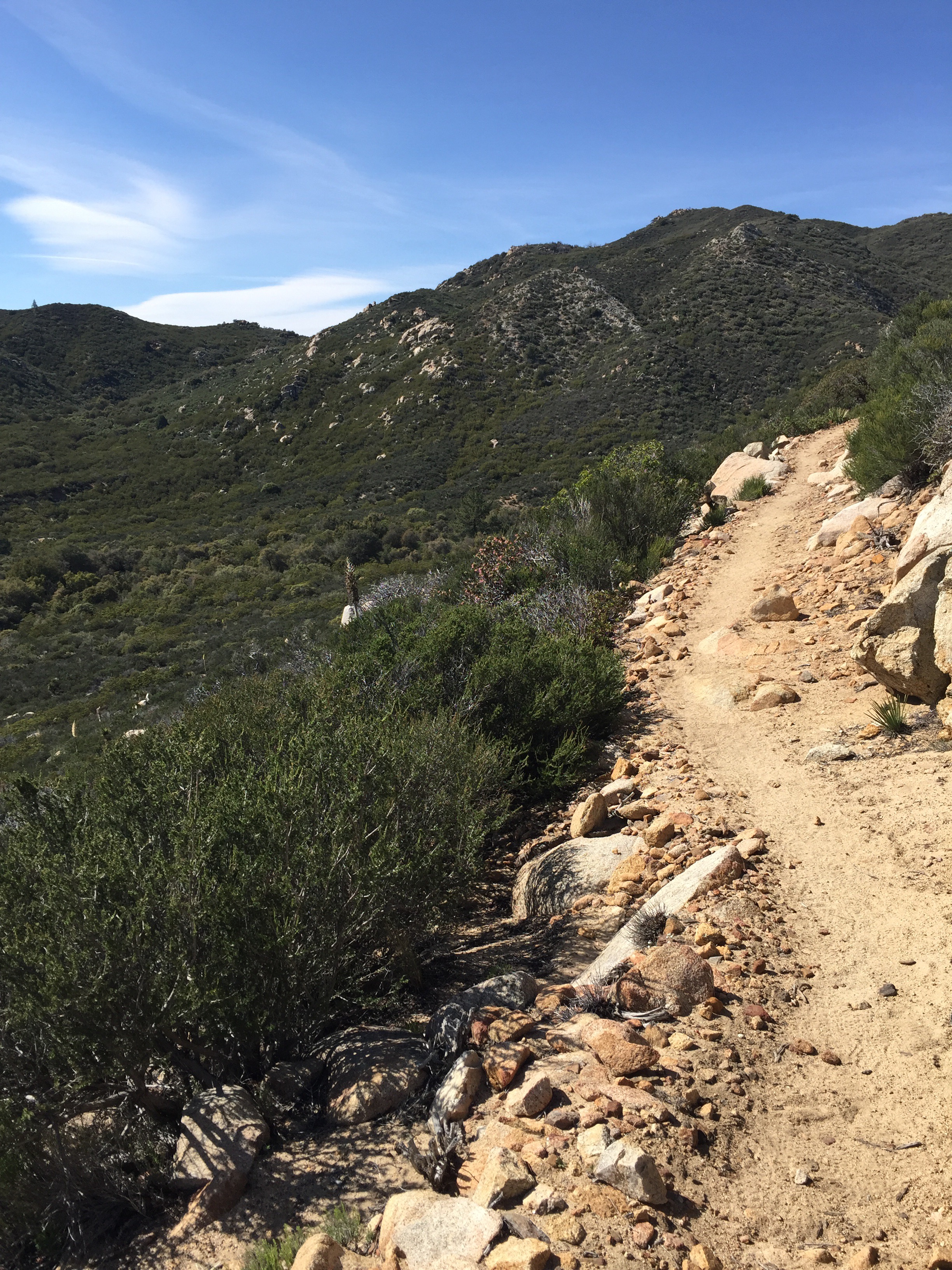
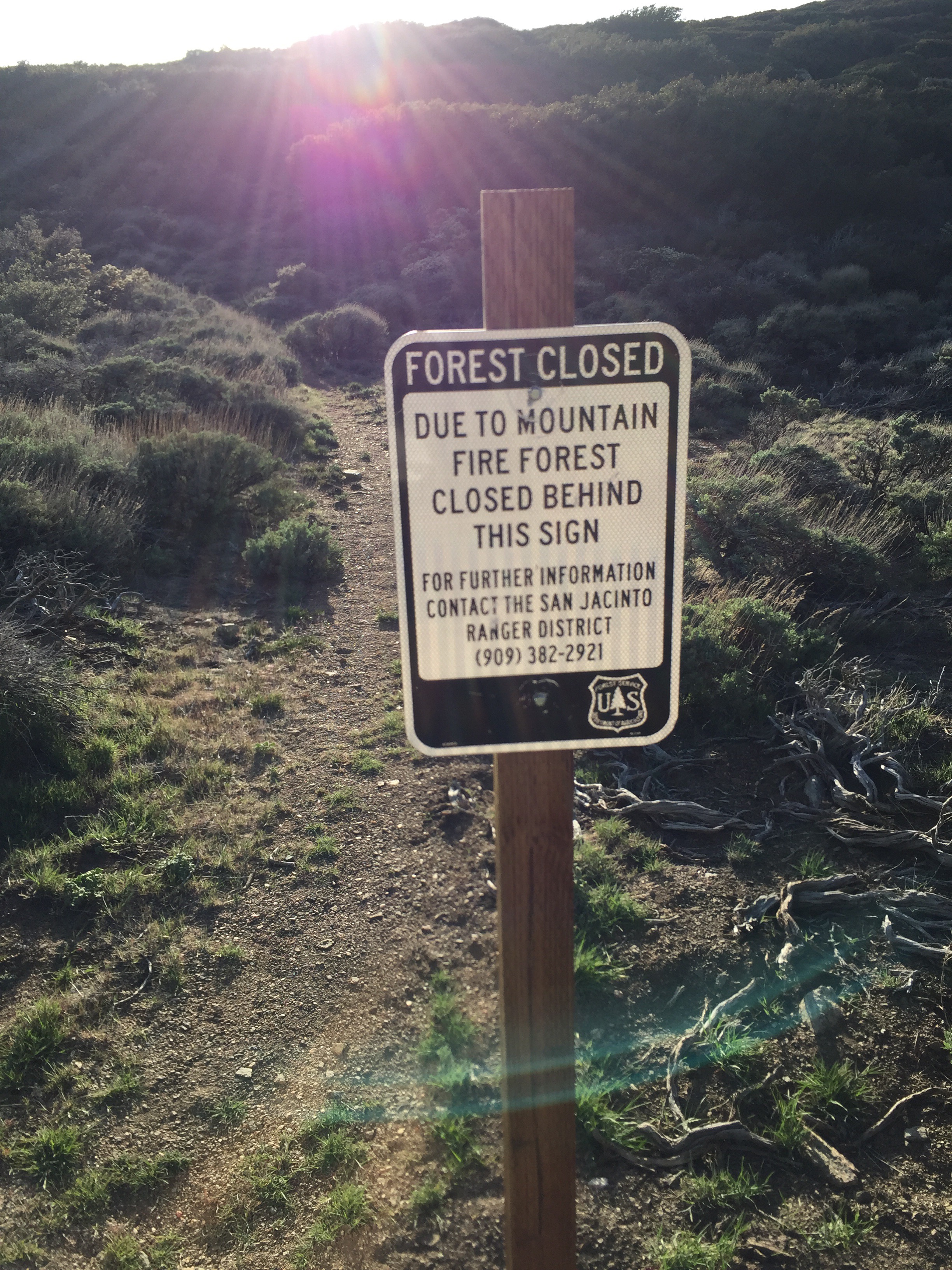
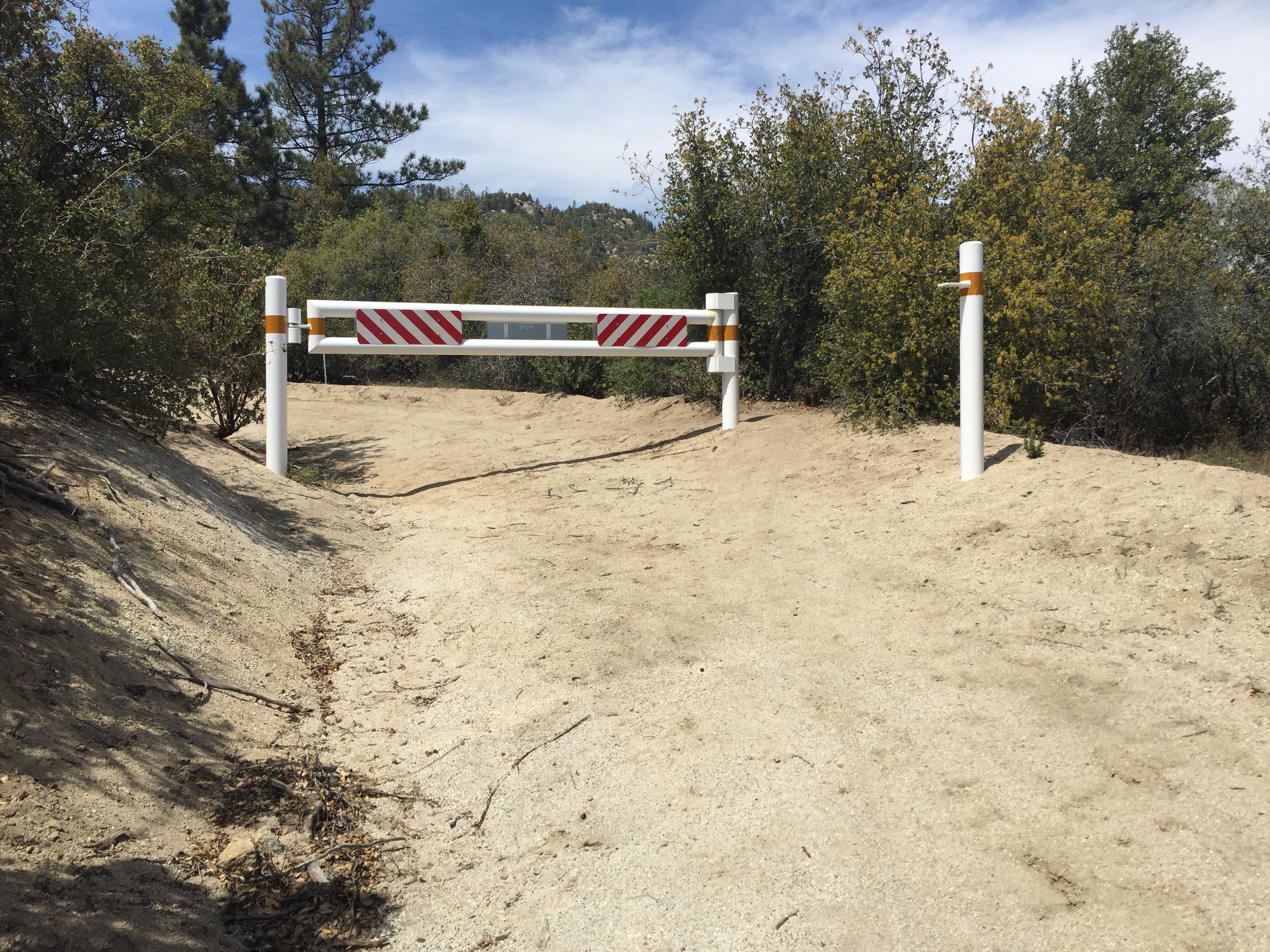
 It was weird to see, what looked like a brand new gate in an area that was closed to all motorized vehicles. Beyond the gate was a trail crew getting the area ready to open back up to the public.
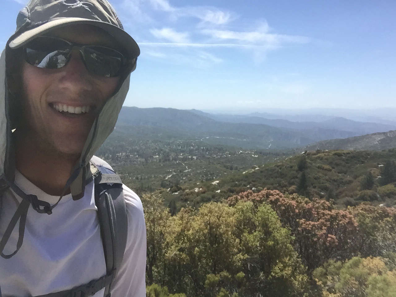
 As I was maybe a half mile from the top of the hill, the trail crew passed me, each asking if I wanted a ride into town. I passed on the offers. I really wanted to be able to say that I walked the full alternate. Also I wouldn't have been able to take some of the pictures I did.


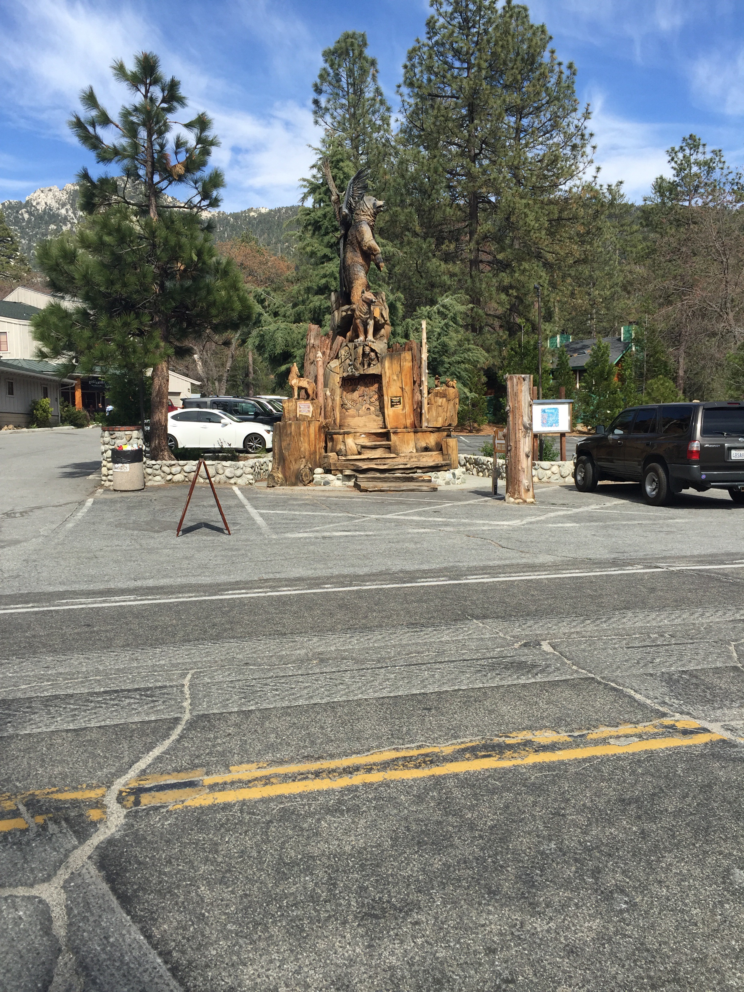
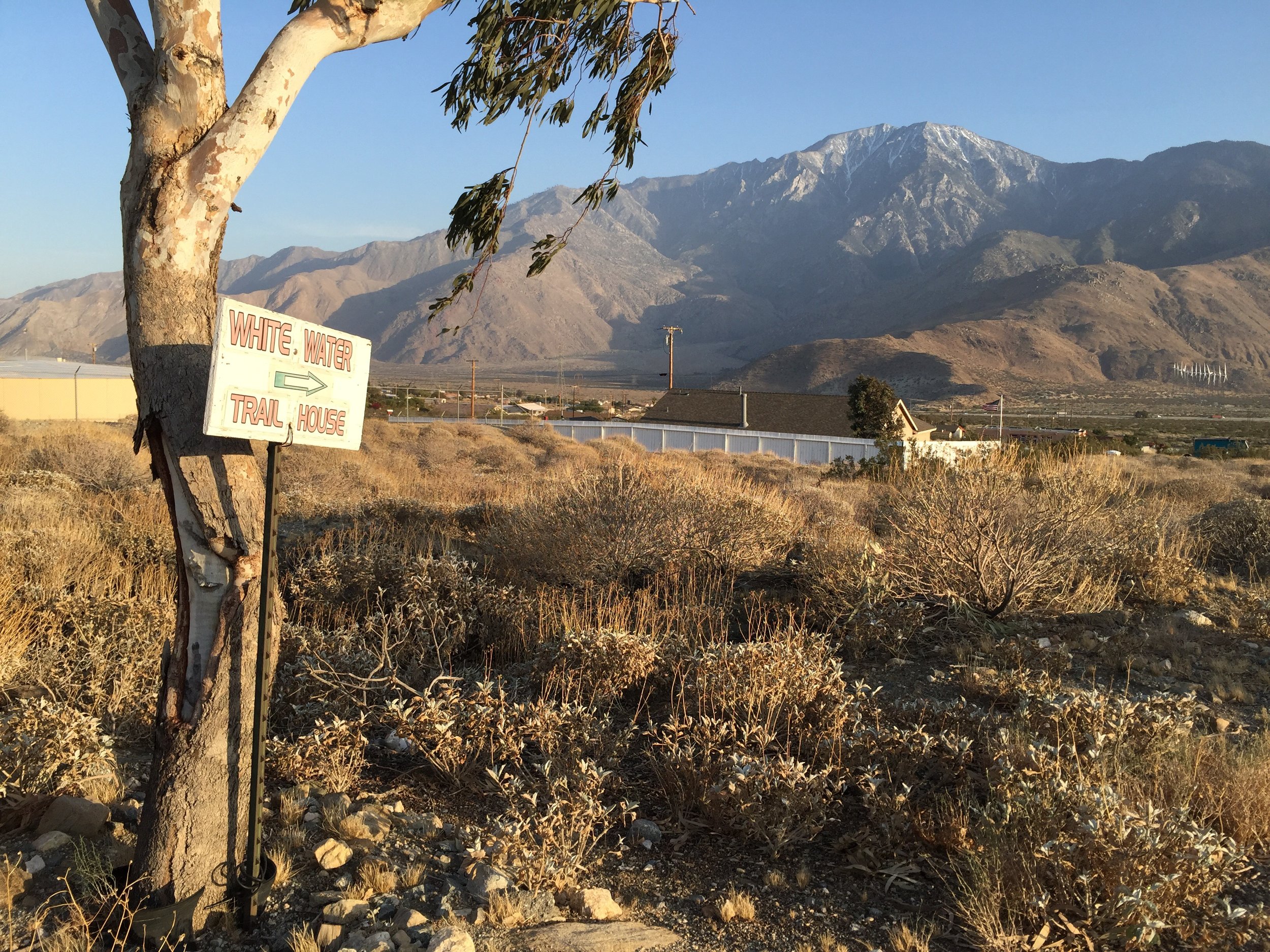
Finally reach the end of the dirt road to arrive at a paved road with a decent amount of traffic. I had cell reception so I decided it was a good time to call my sister-in-law to see how everything was going and to make sure everyone was on the same page with regards to shipping stuff. Mid conversation a nice lady stopped and asked if I wanted a ride into town. Now that I was on the edge of town I was very happy to accept the invitation. Said a very quick by to Becca and hopped in the Prius.
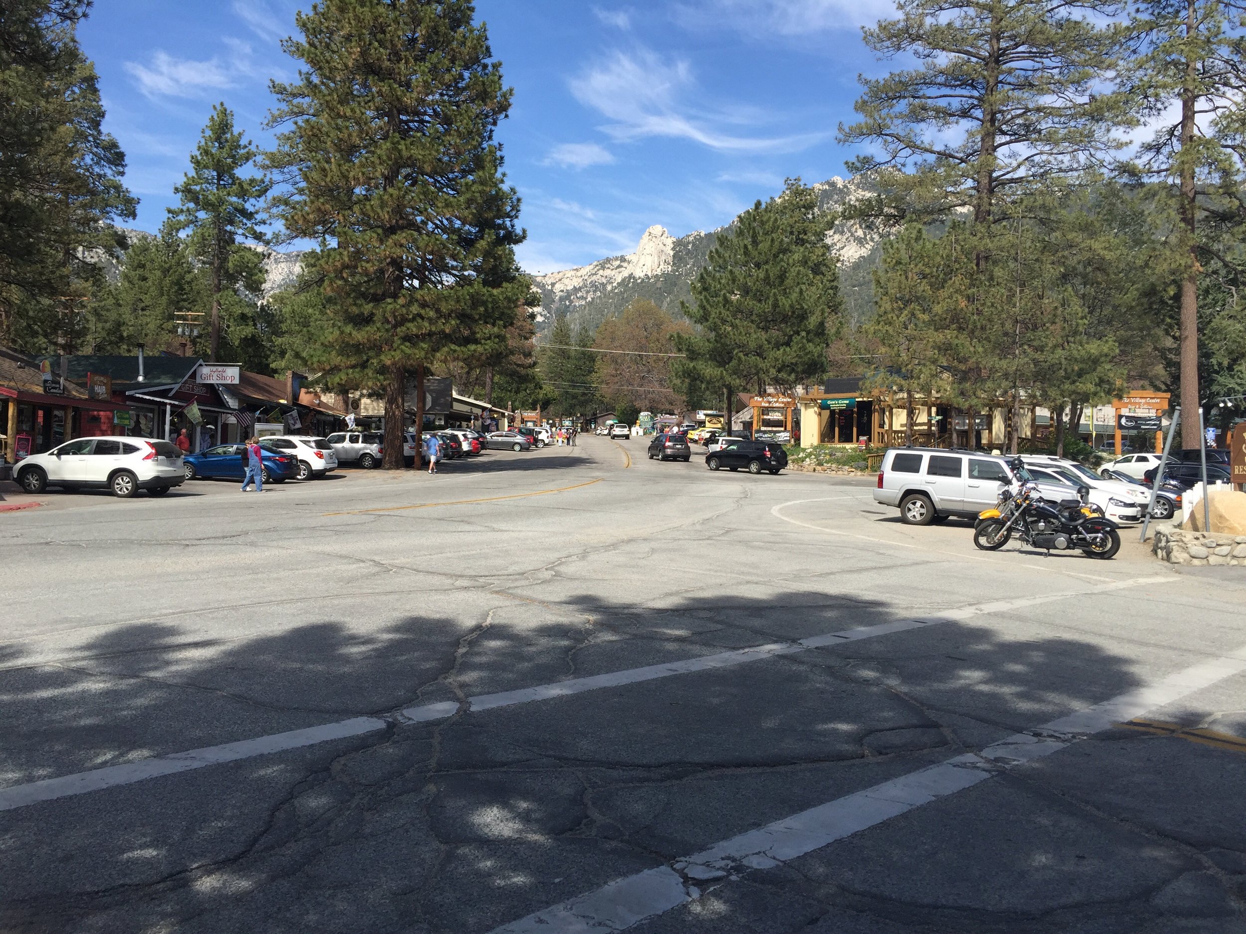
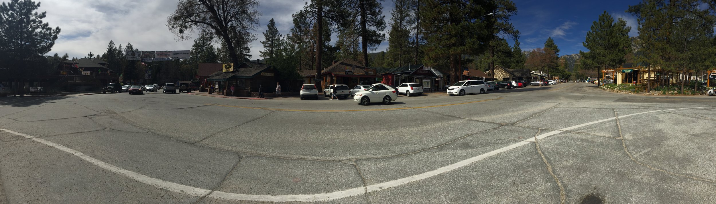
The ride into town was way different than I had imagined when walking through the desert all day. Lots of trees. It reminded me of the mountain towns in Washington and Colorado.
When I arrive most of the people I had hiked with in the past few days were already in town getting their packages and eating some food. My package is nowhere to be found. Evidently someone (ME) shipped it to the wrong address. So now I will have two packages waiting for me at Ziggy and the Bear's. I'll get all the resupply stuff down before this trip is through.
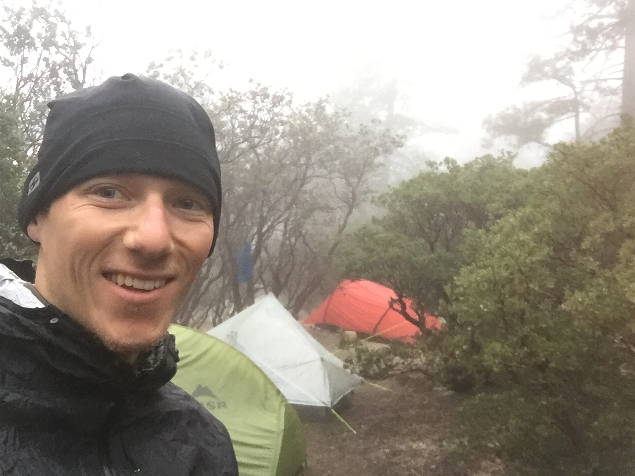
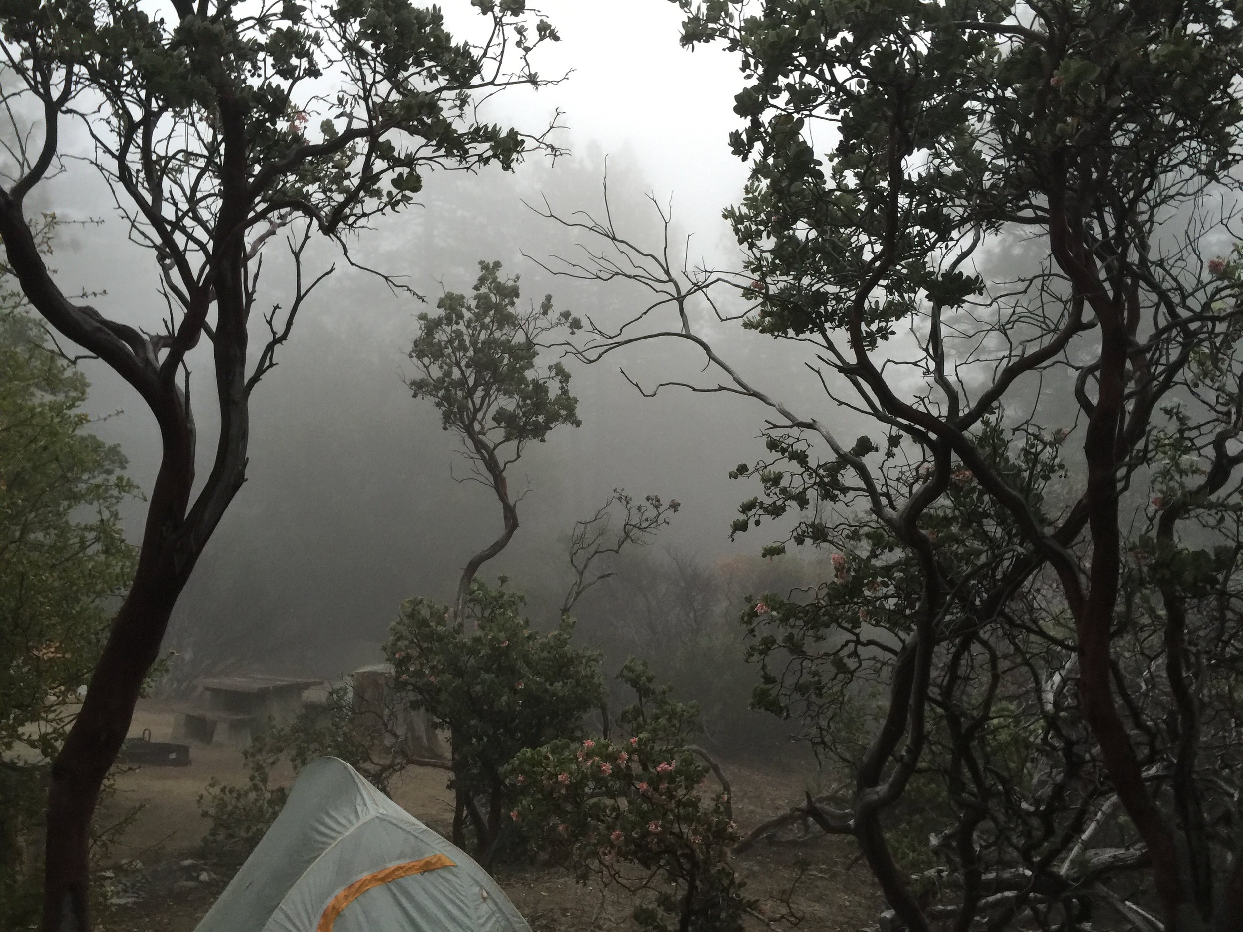
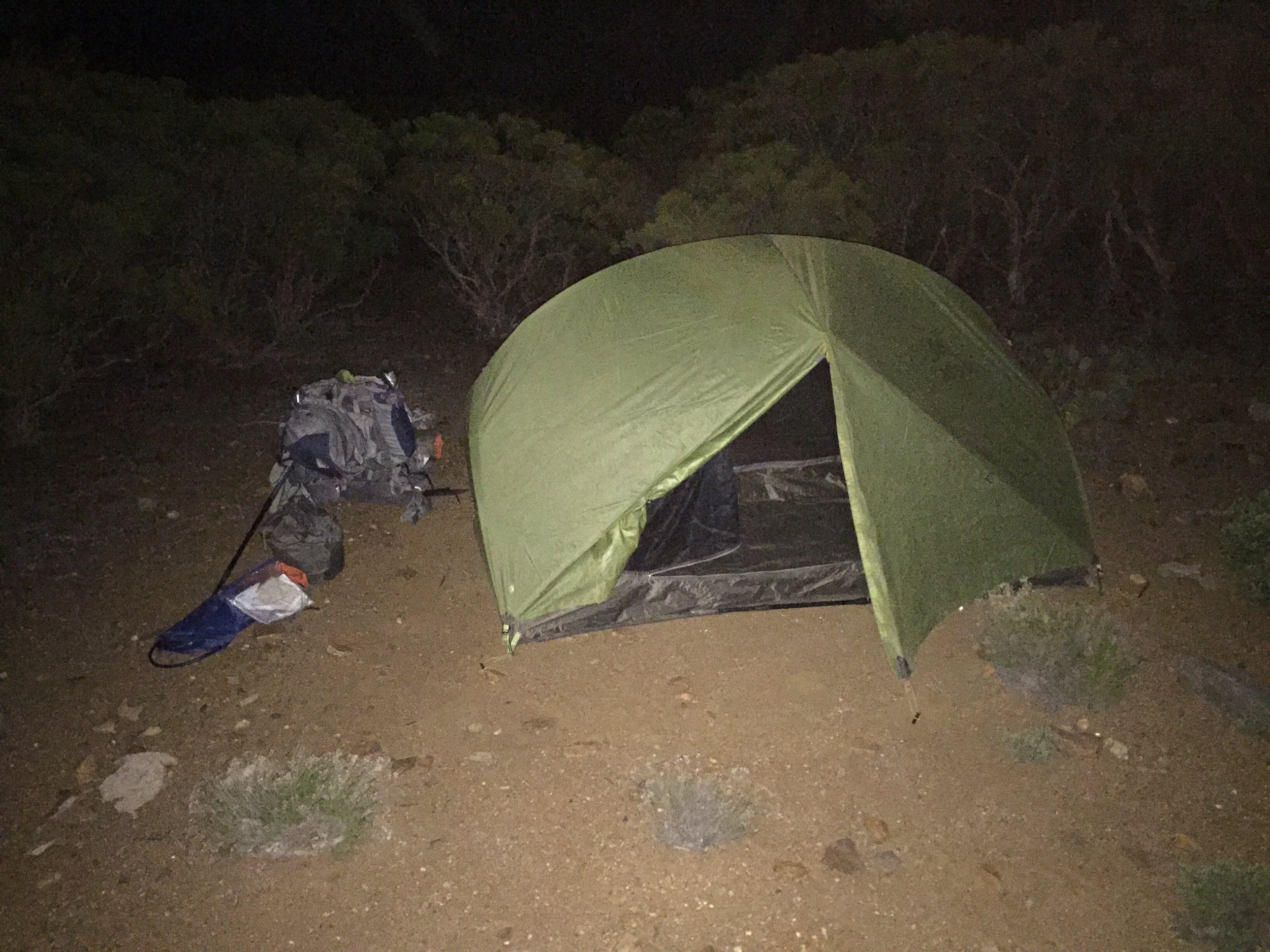
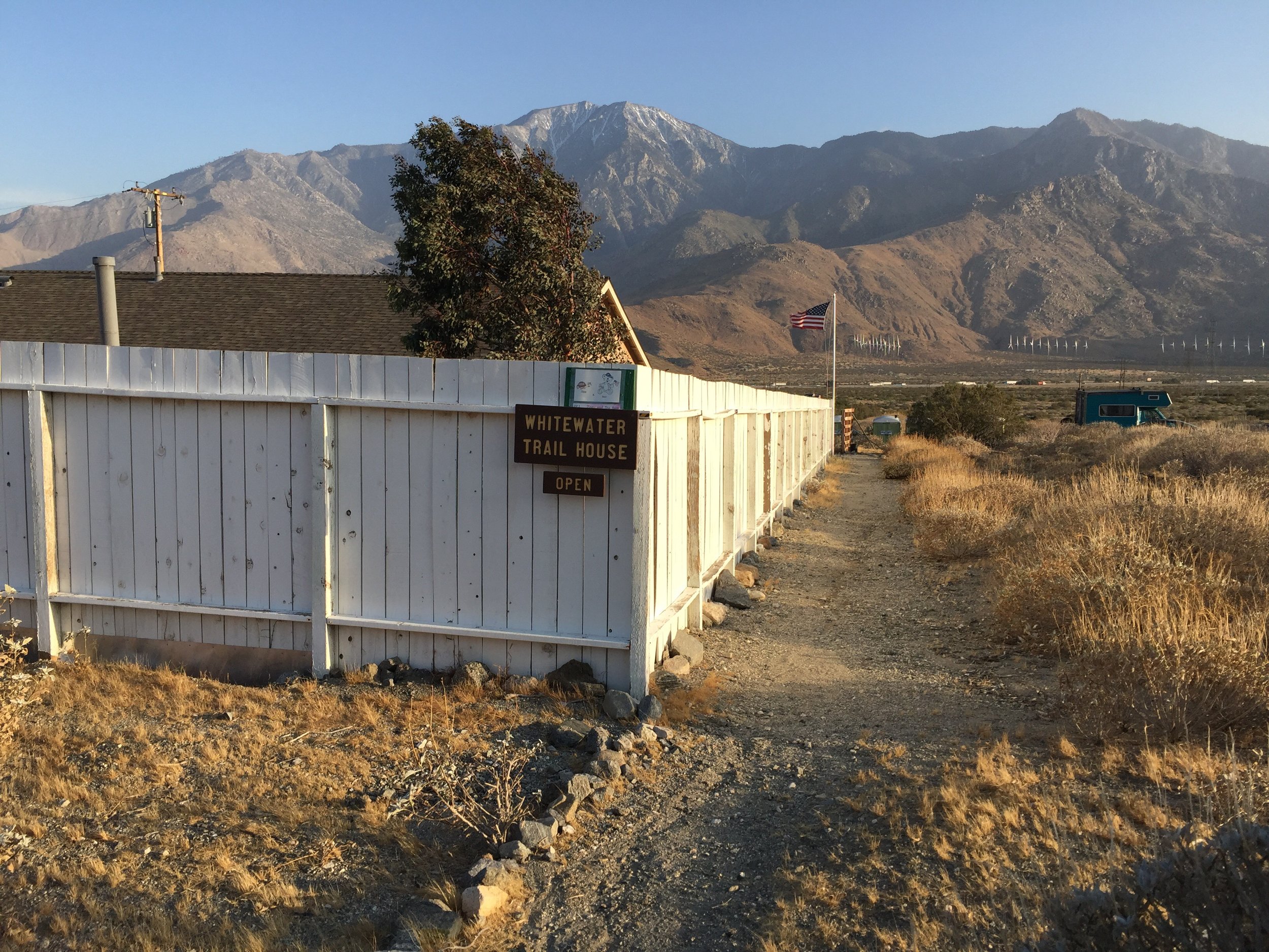
I met up with George then head to the outdoor store. Small but they have everything a hiker could need. Gwen and Denise were there as well. Went to the state campground and get my tent setup. There were already more than 25 tents setup in the area designated for PCT Hikers. $3 a night.
Met up with Gwen and Denise then went to the grocery store. I took stock of what the store had so tomorrow I could buy food for my next leg. The girls bought their food, then we went to the pizza place and ate dinner. George and Matt join us shortly before we left. 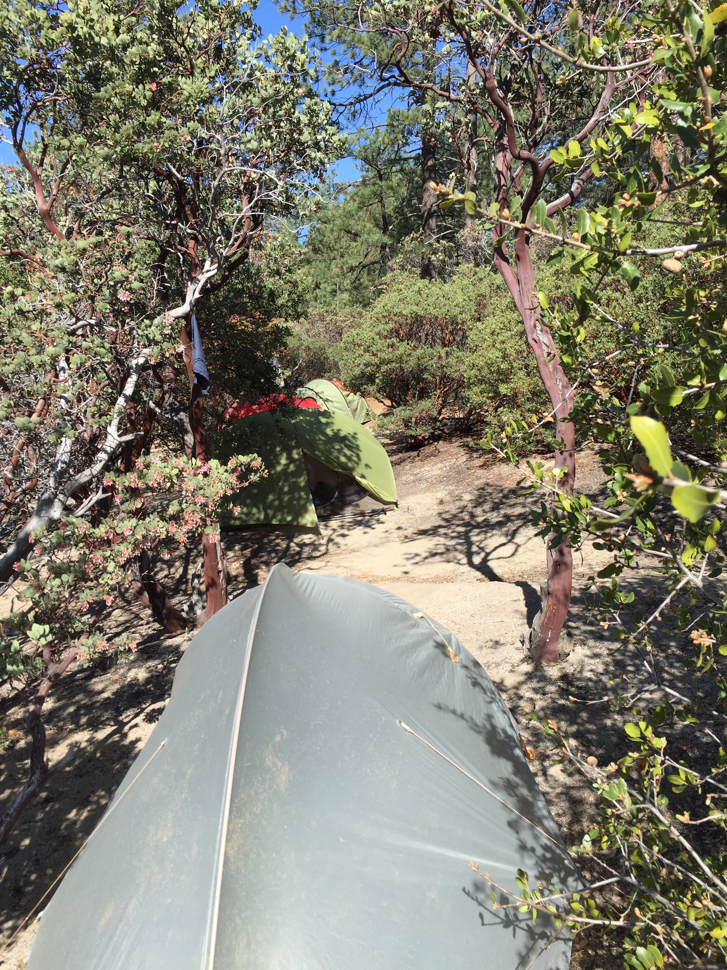
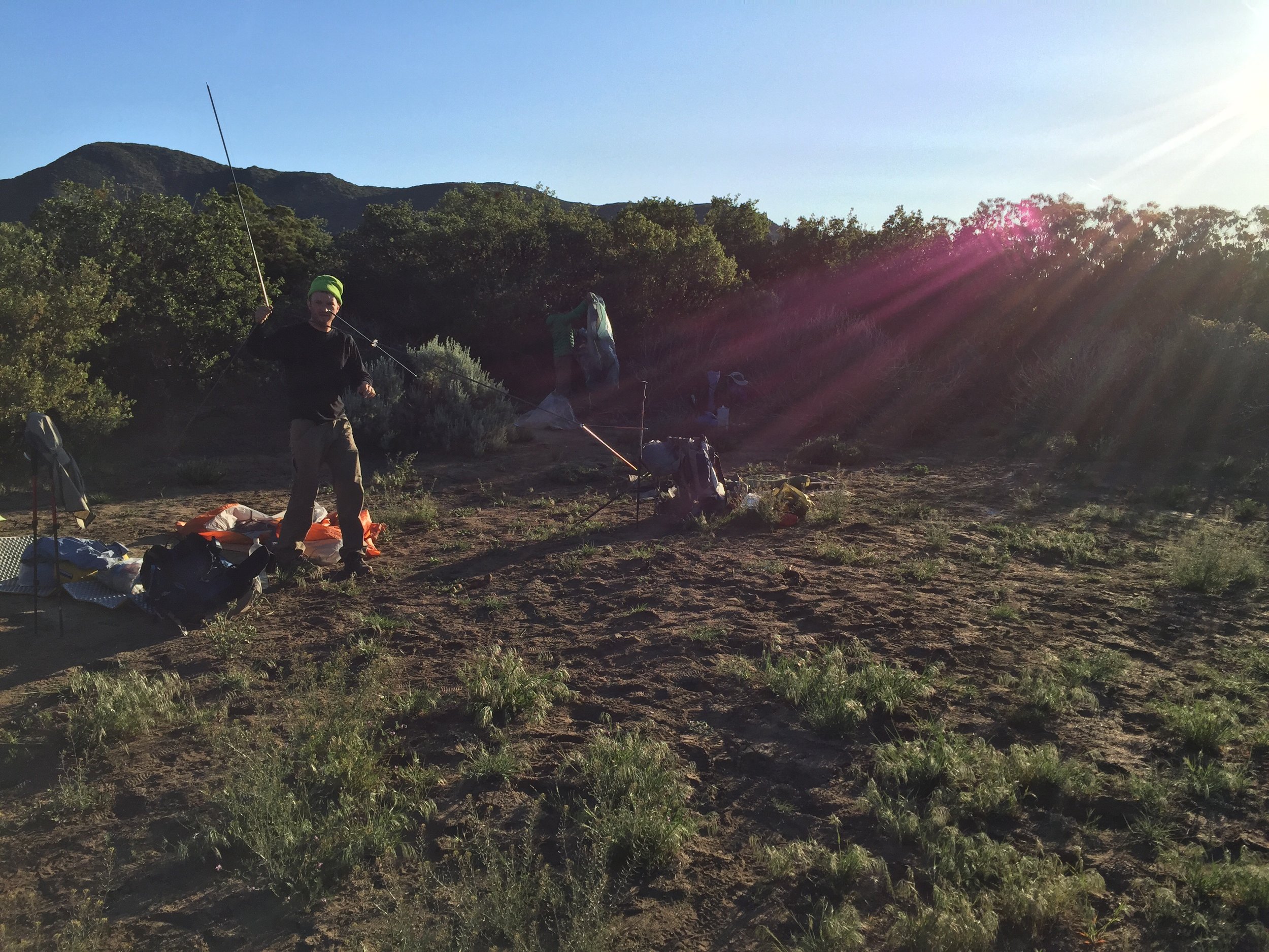
Hung out around the campfire till 10ish and call it a day.


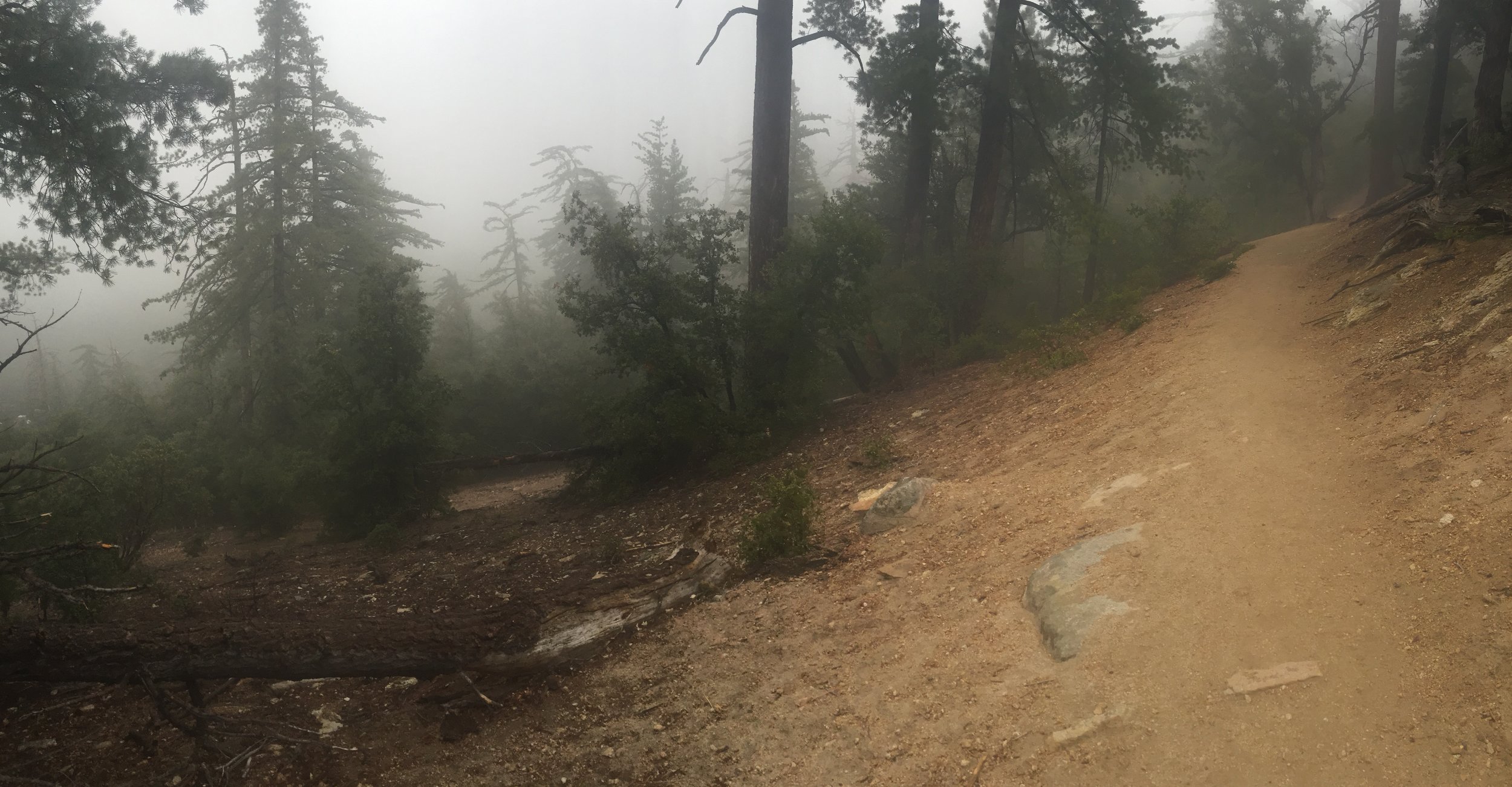
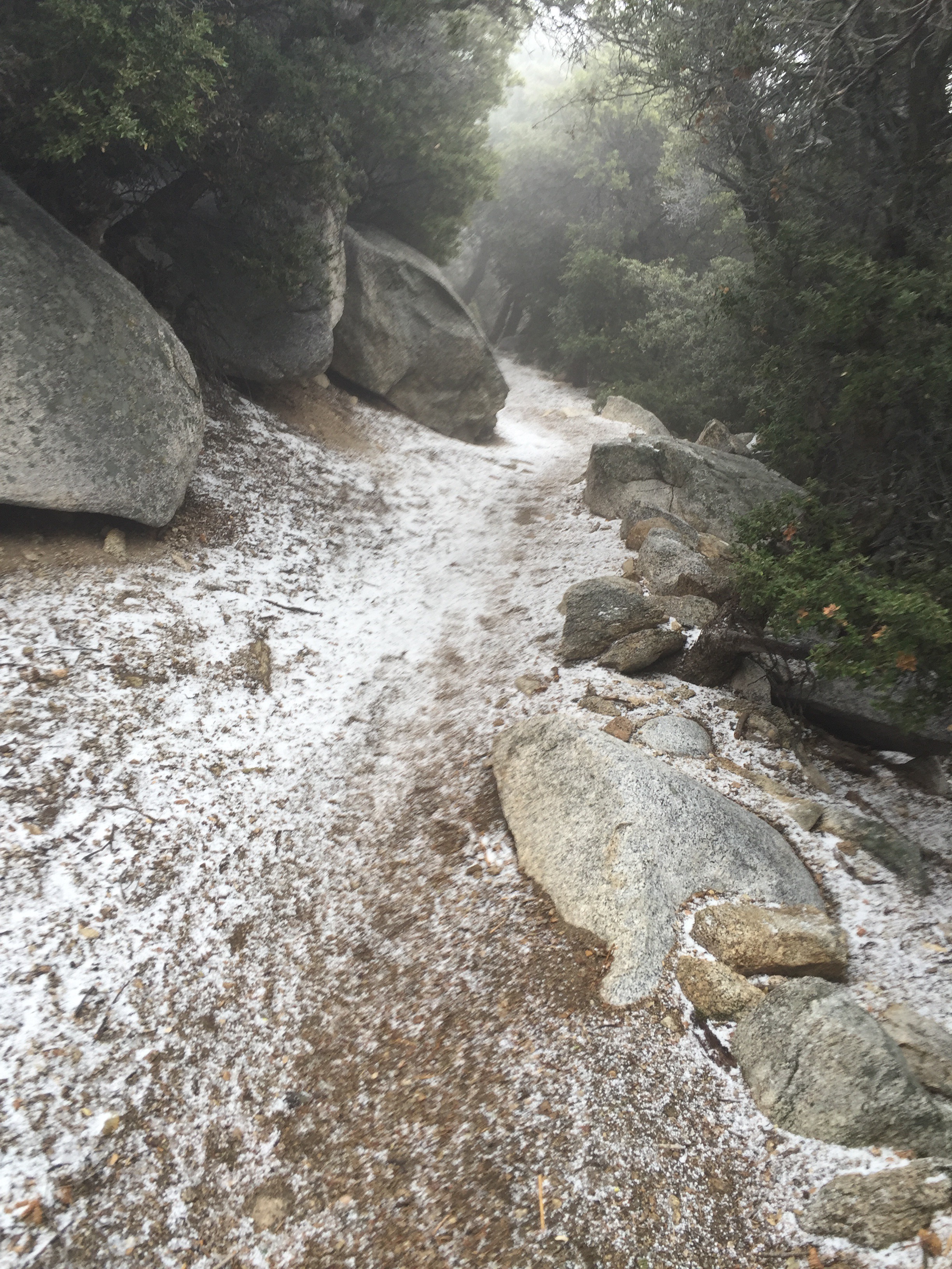
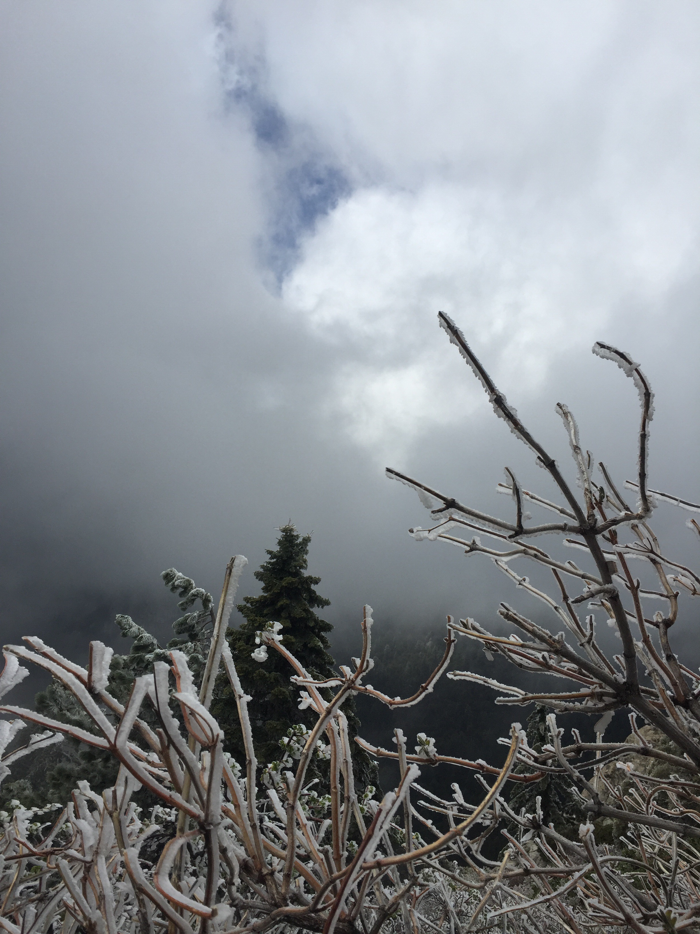
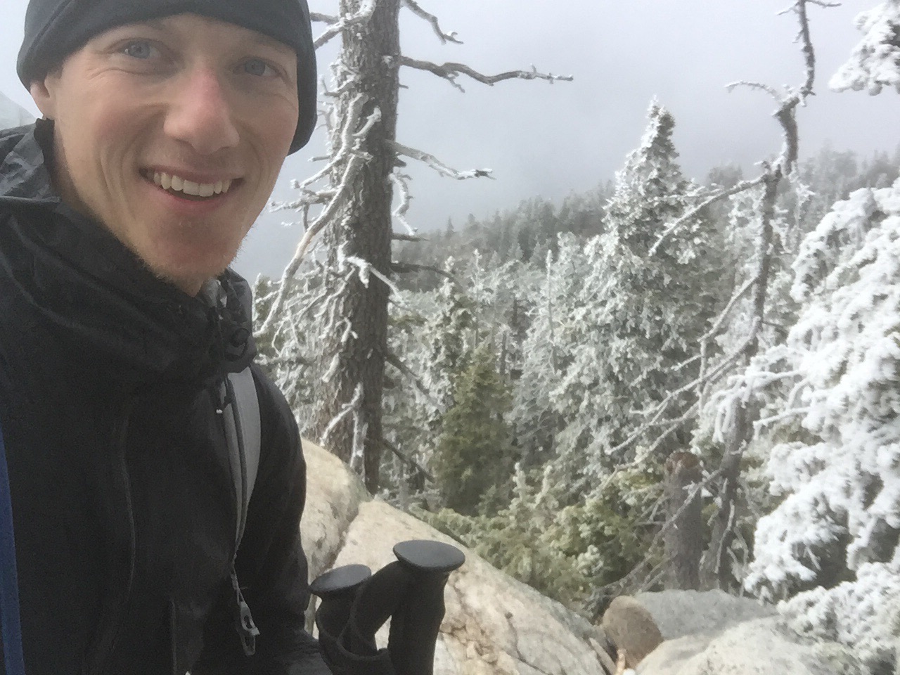
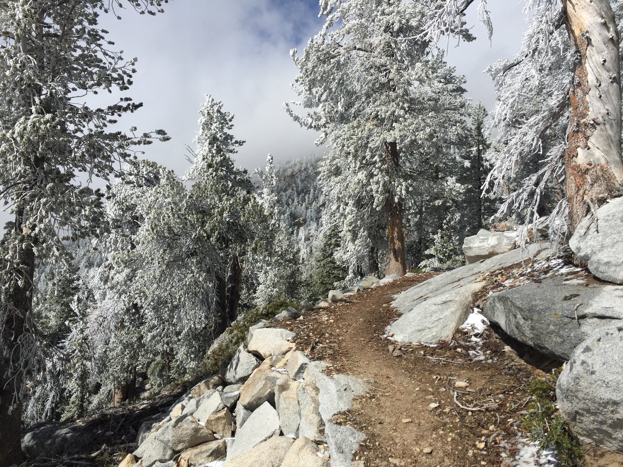
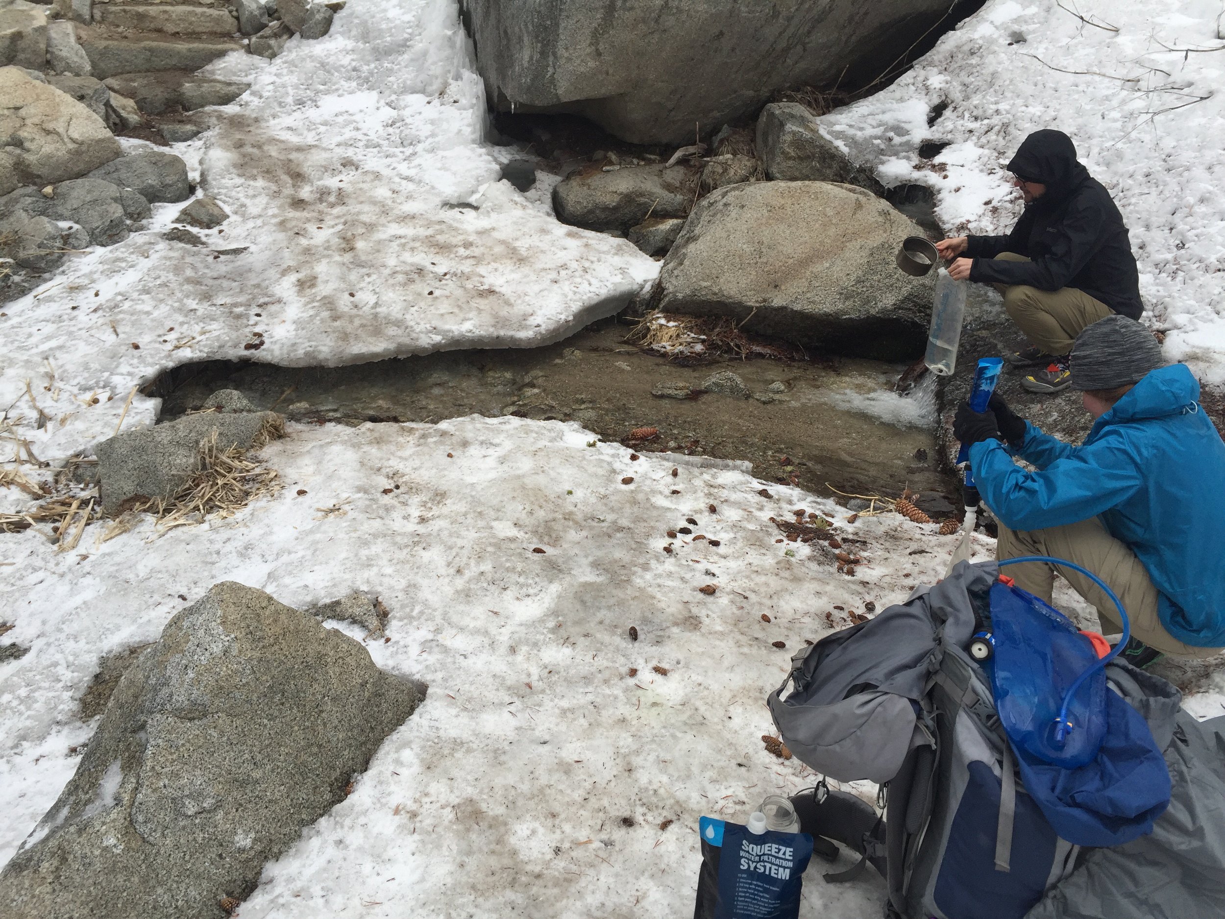
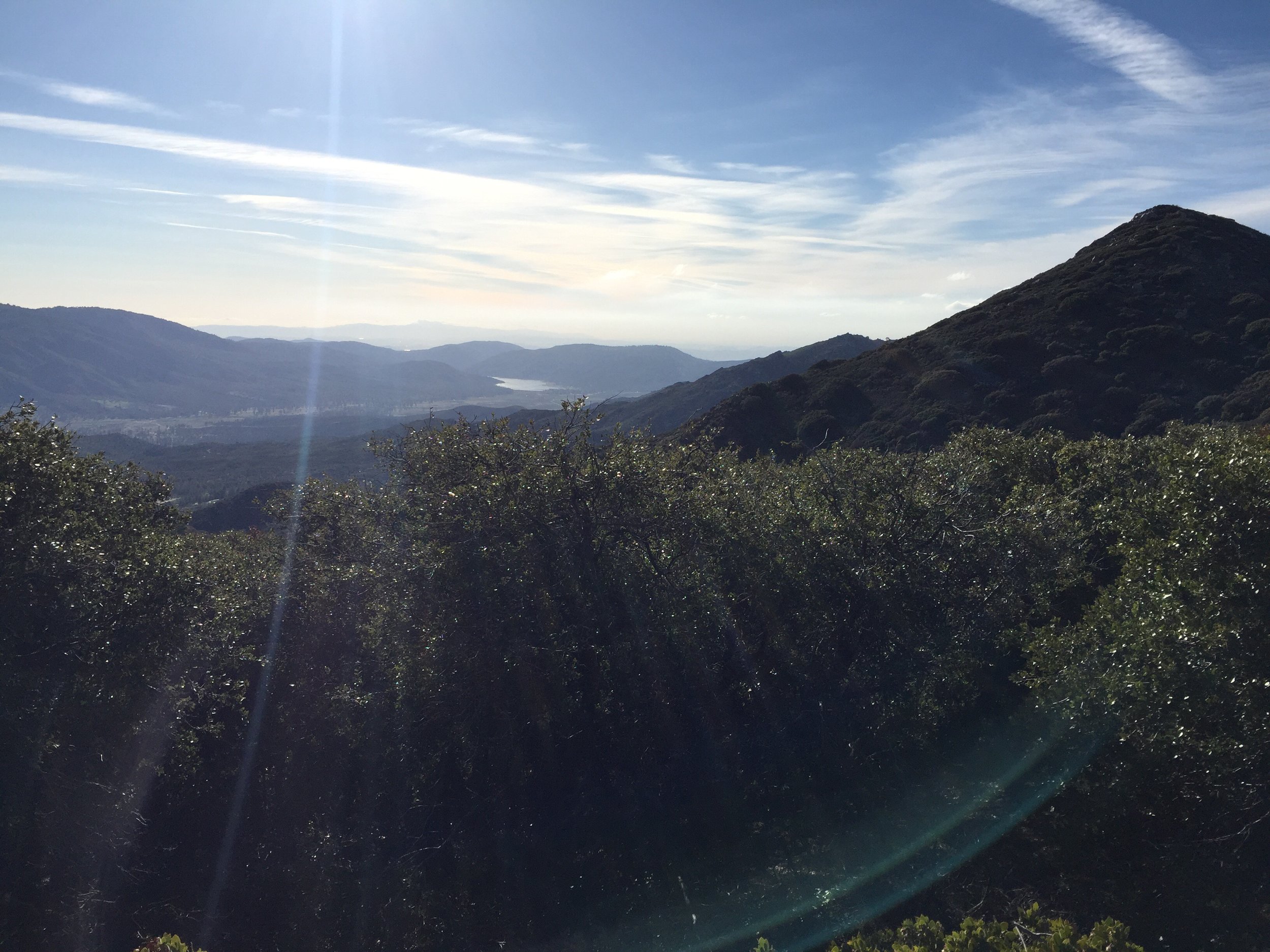
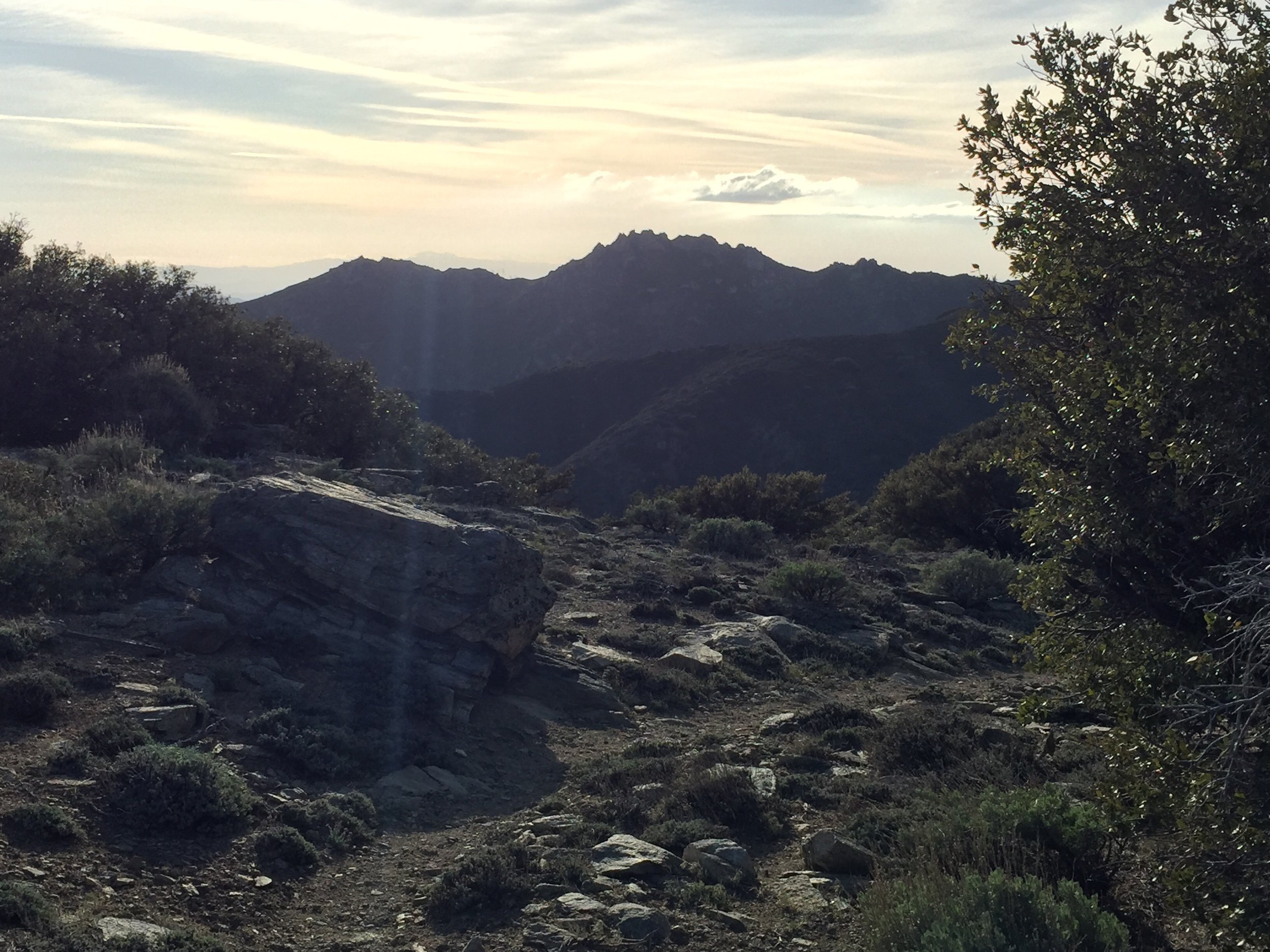
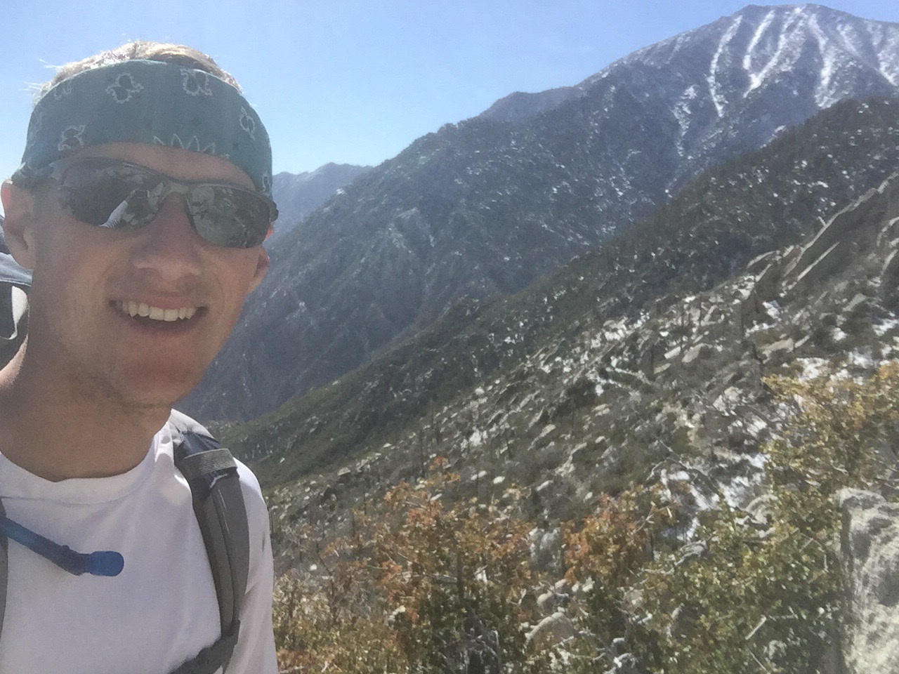
 Today was downhill... The entire time. Steep downhill for the first 15 miles and then a gentle slope for the last 5. The trail was littered with breathtaking views. All enhanced by yesterday's snowfall.


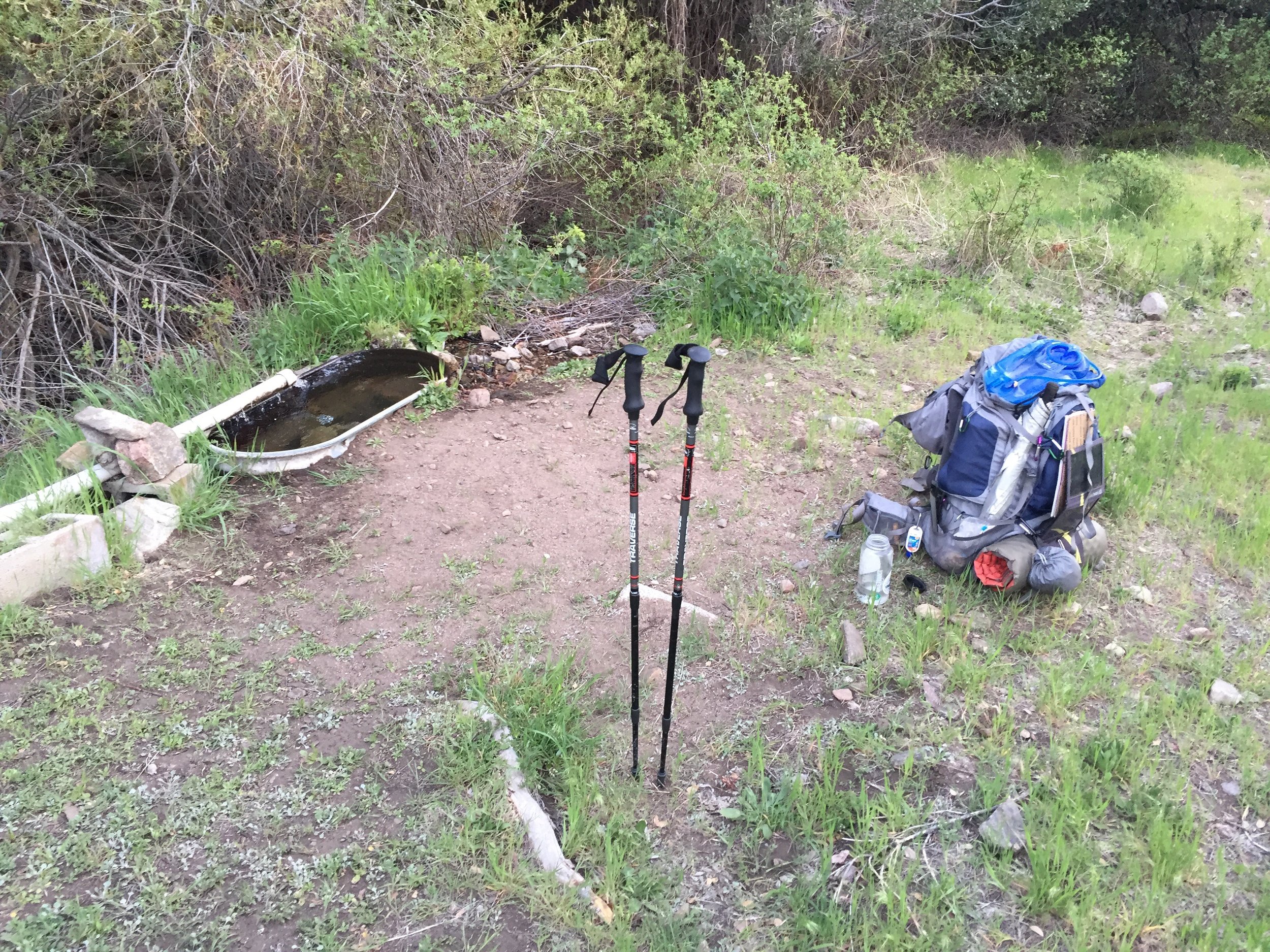
 Didn't stop to much until mile 205.7 where the next water source was. Hung out there for a while with Skinny Thor and Leah. The wind was really picking up as the afternoon continued.
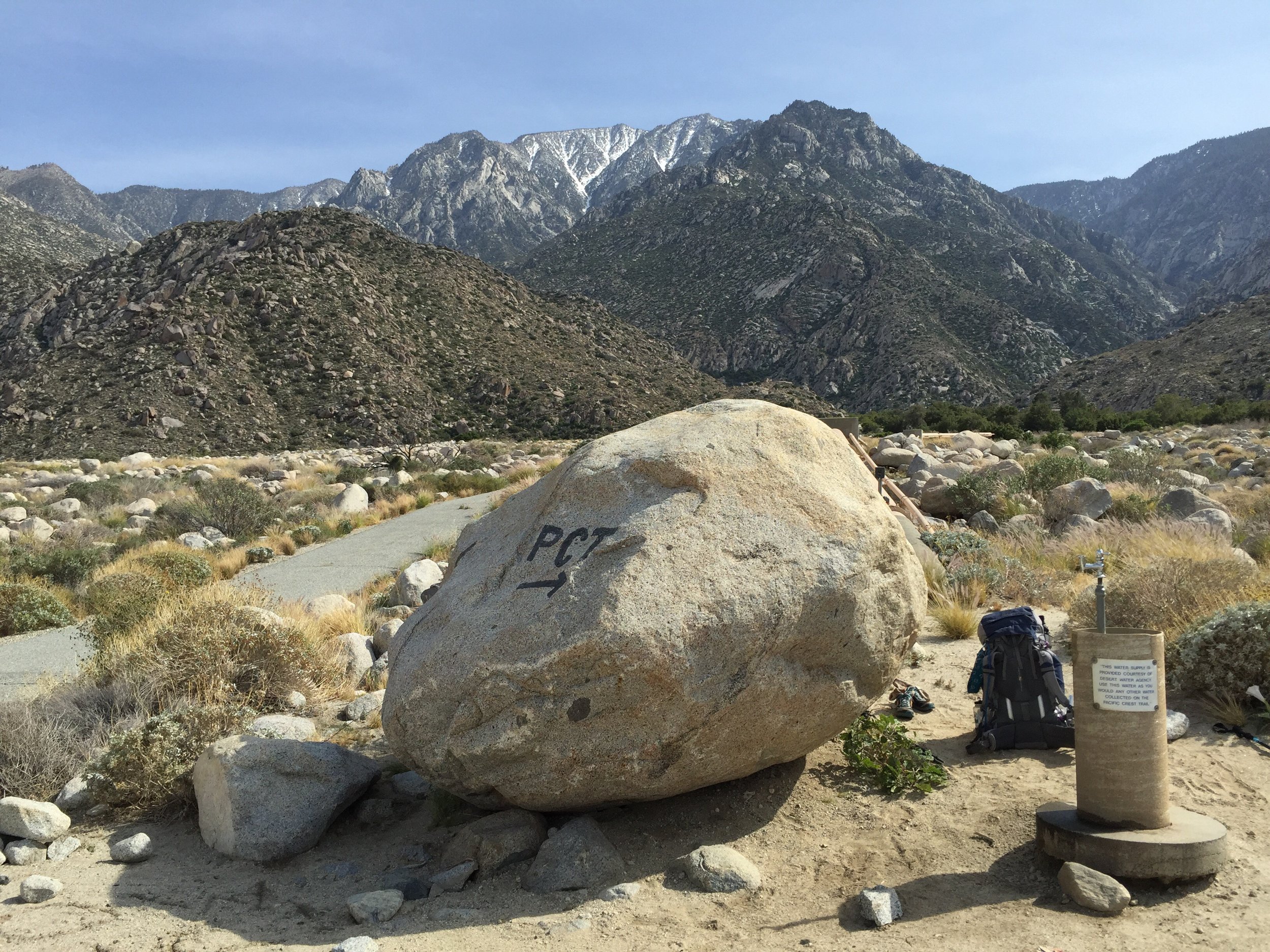
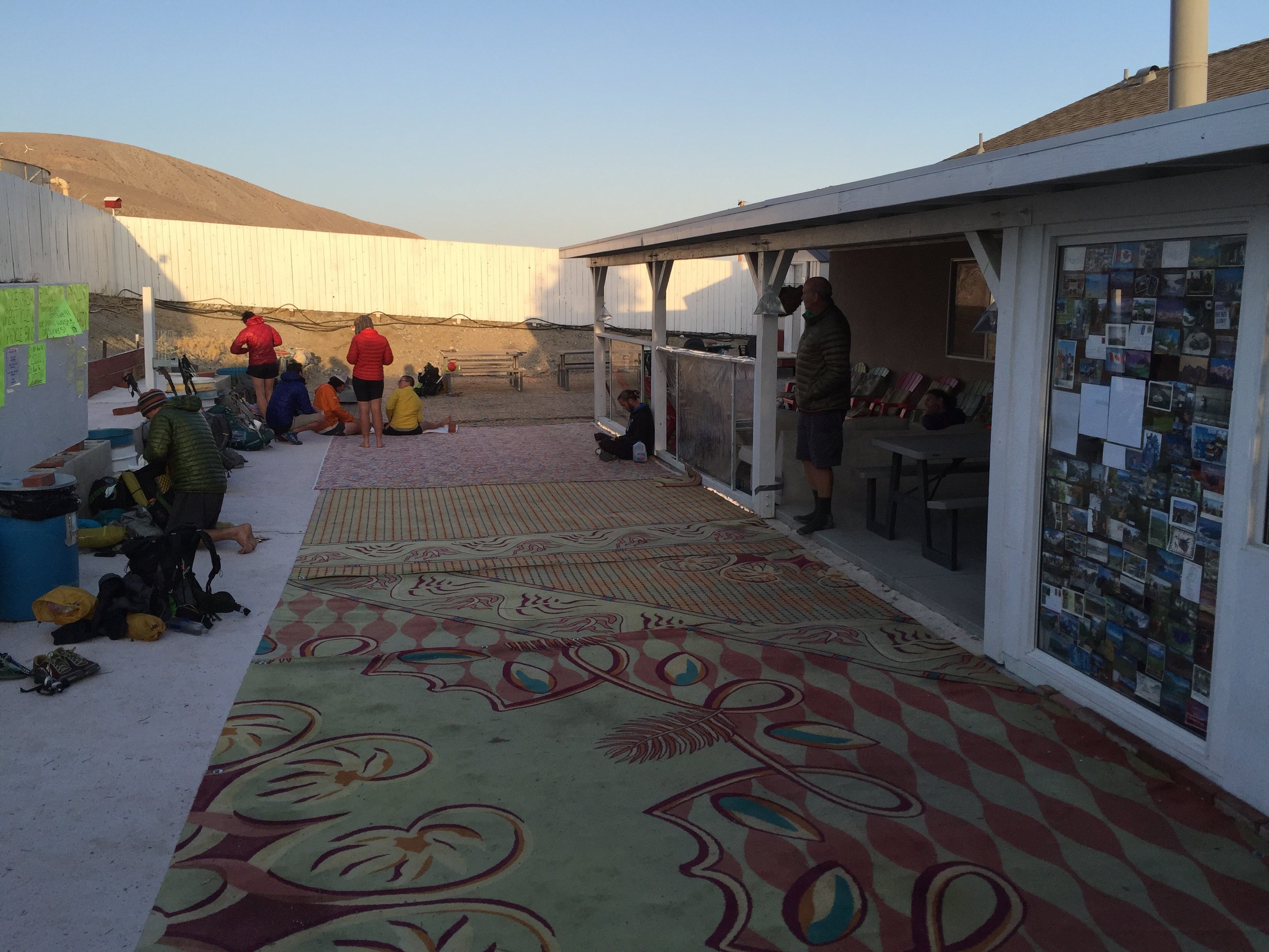
 Arrived at Ziggy's around 6:00pm and from that point on it was go go go. Signed in, got my resupply packages, sorted through the resupply packages, clean up, setup bed, take a breath, and figure out how to get to Big Bear Lake tomorrow.
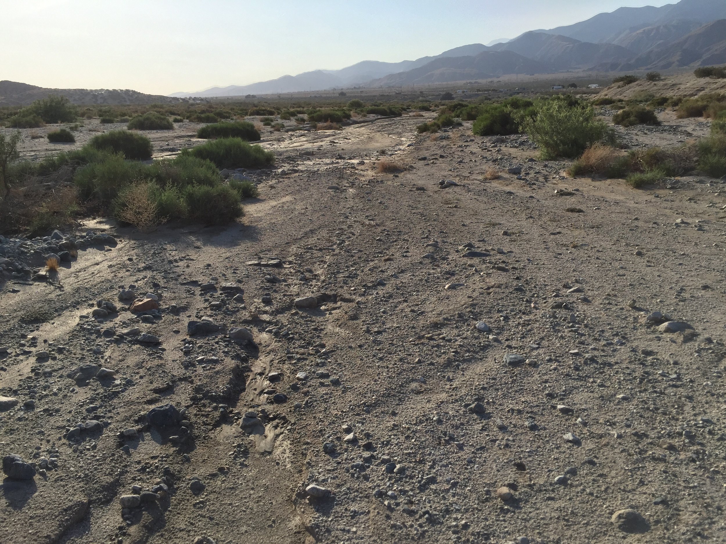


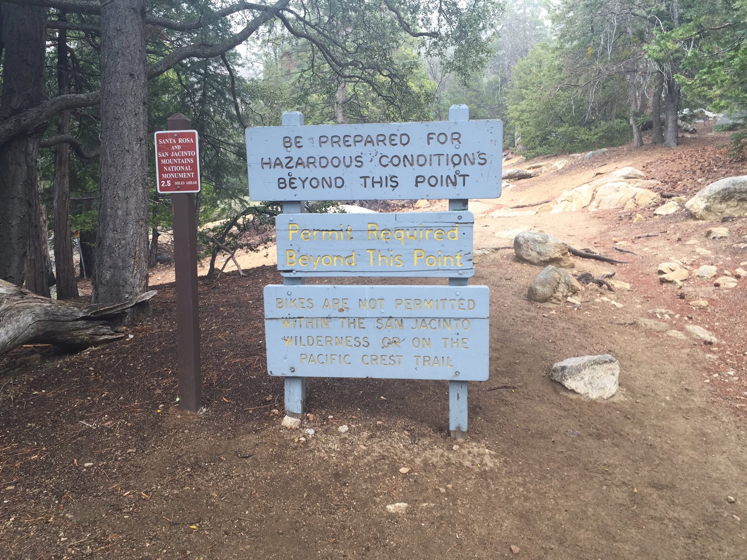
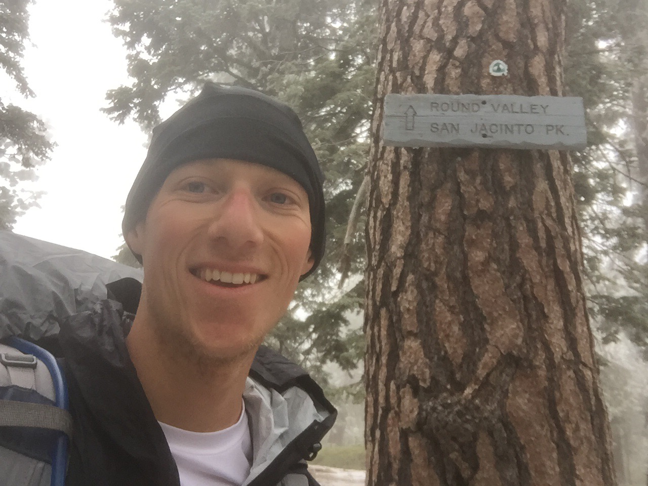
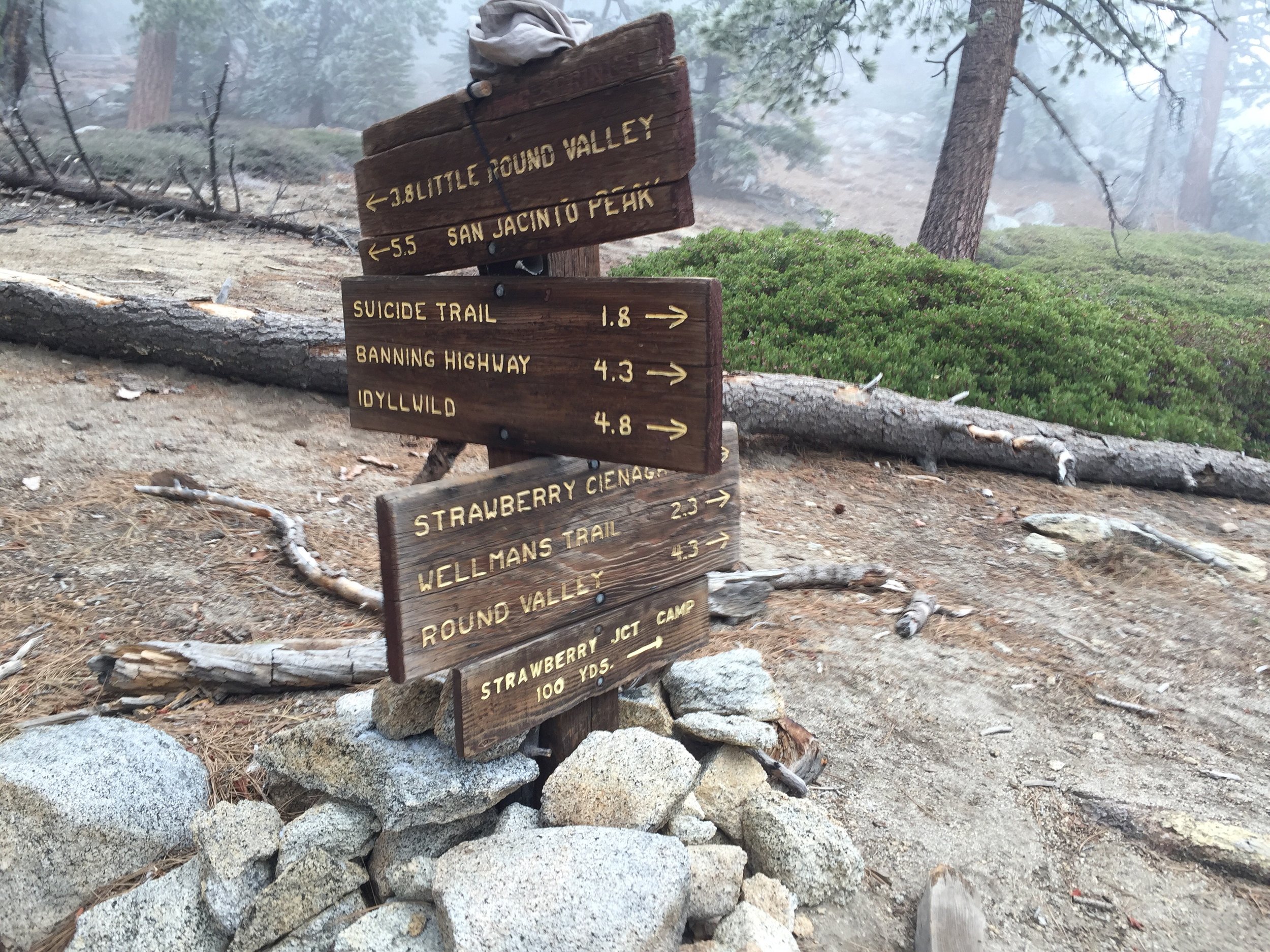
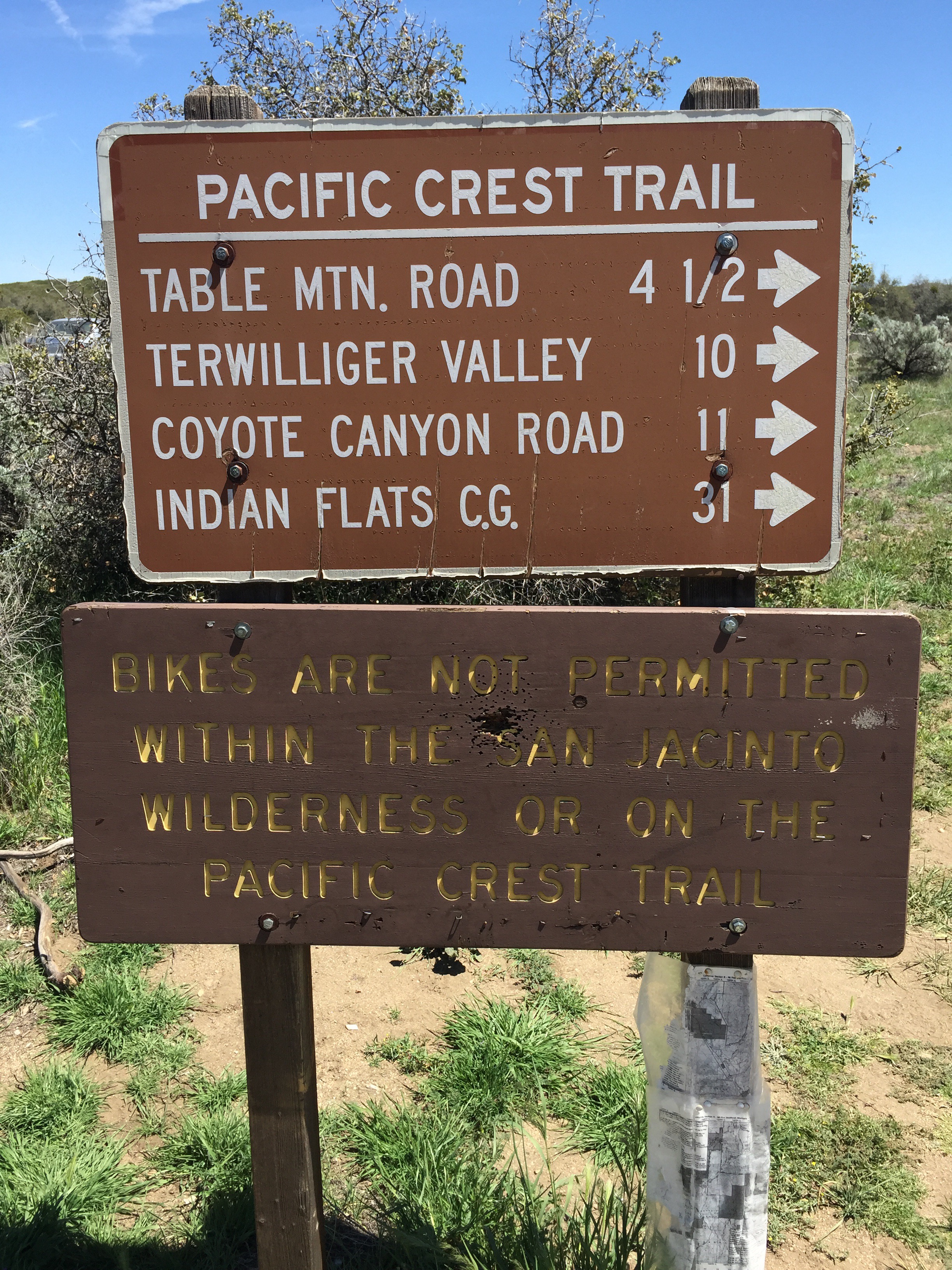
 There is another fire closure between miles 236 and 252 that does not have a hiking alternate. So I will be taking public transit to Big Bear Lake tomorrow. At some later point I will return and hike Mt San Jacinto and this section to truly complete the hike. This section is suppose to open up in a month or so for all the hikers starting early May.